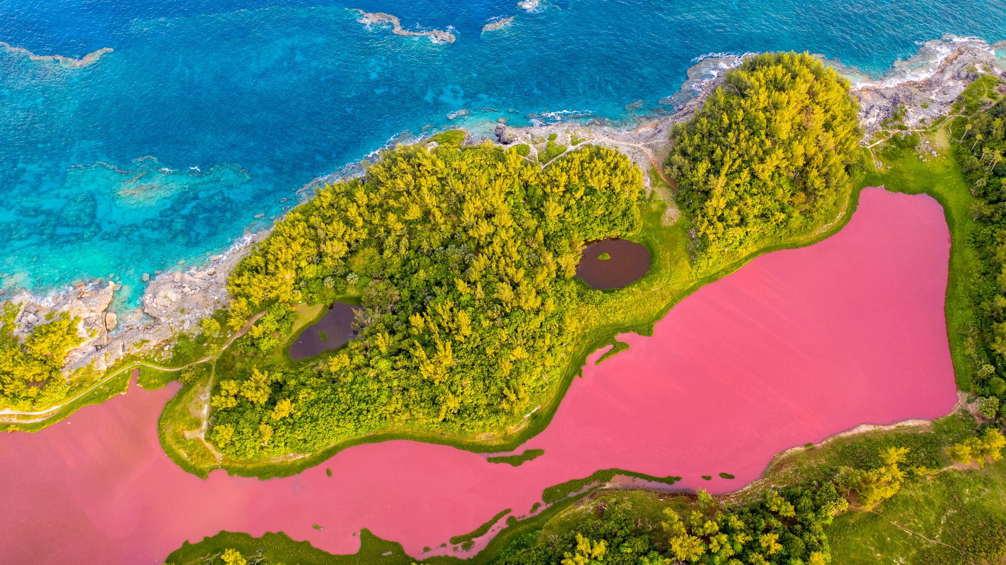
Cliff, pond and woodland in one loop
Come in April or May and the cliff trail doubles as a whale lookout, with humpbacks passing offshore on their way north, while longtails wheel along the rock face right through spring and summer.
Paths from OpenStreetMap; elevation from a 30 m terrain model, so treat the metres as a shape rather than a survey. The pond is fenced and the loop never touches the water.
Spittal Pond is the largest nature reserve on the island, and the loop is the only way to see it: the pond is a fenced sanctuary, so everything happens from the path around it. One side of the trail runs between the water and the open Atlantic; the way home is through woodland along the northern edge.
Two things on the shore are worth stopping for. Portuguese Rock carries a bronze cast of an inscription dated 1543, thought to be the oldest sign of people on the island. The Checkerboard is a flat limestone shelf split into near-square blocks, where whalers once hauled out their catch.
In winter the pond is a stopover for migrating waterfowl, about twenty species at a time, and signs along the loop name the birds, the plants and the history, so no guide is needed.
Packed earth and rock almost all the way. The cliff trail is rocky and steep in places, with short climbs over the low cliffs, and the woodland path back along the northern edge is gentler. Wear shoes with grip rather than flip flops.
Two more walks worth a morning, and the aquarium at Flatts
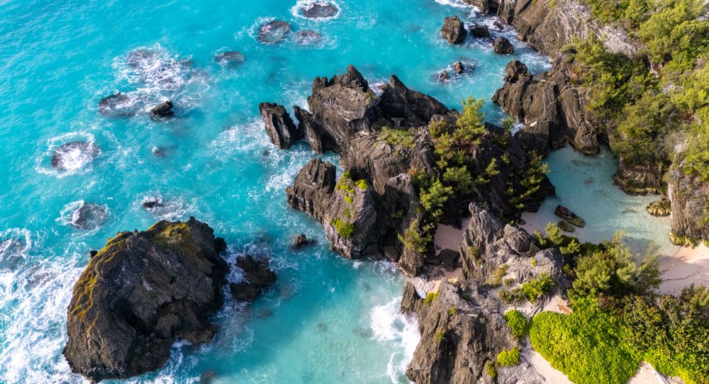
Horseshoe Bay to Warwick Long Bay on foot, past the coves most beach visitors never reach.
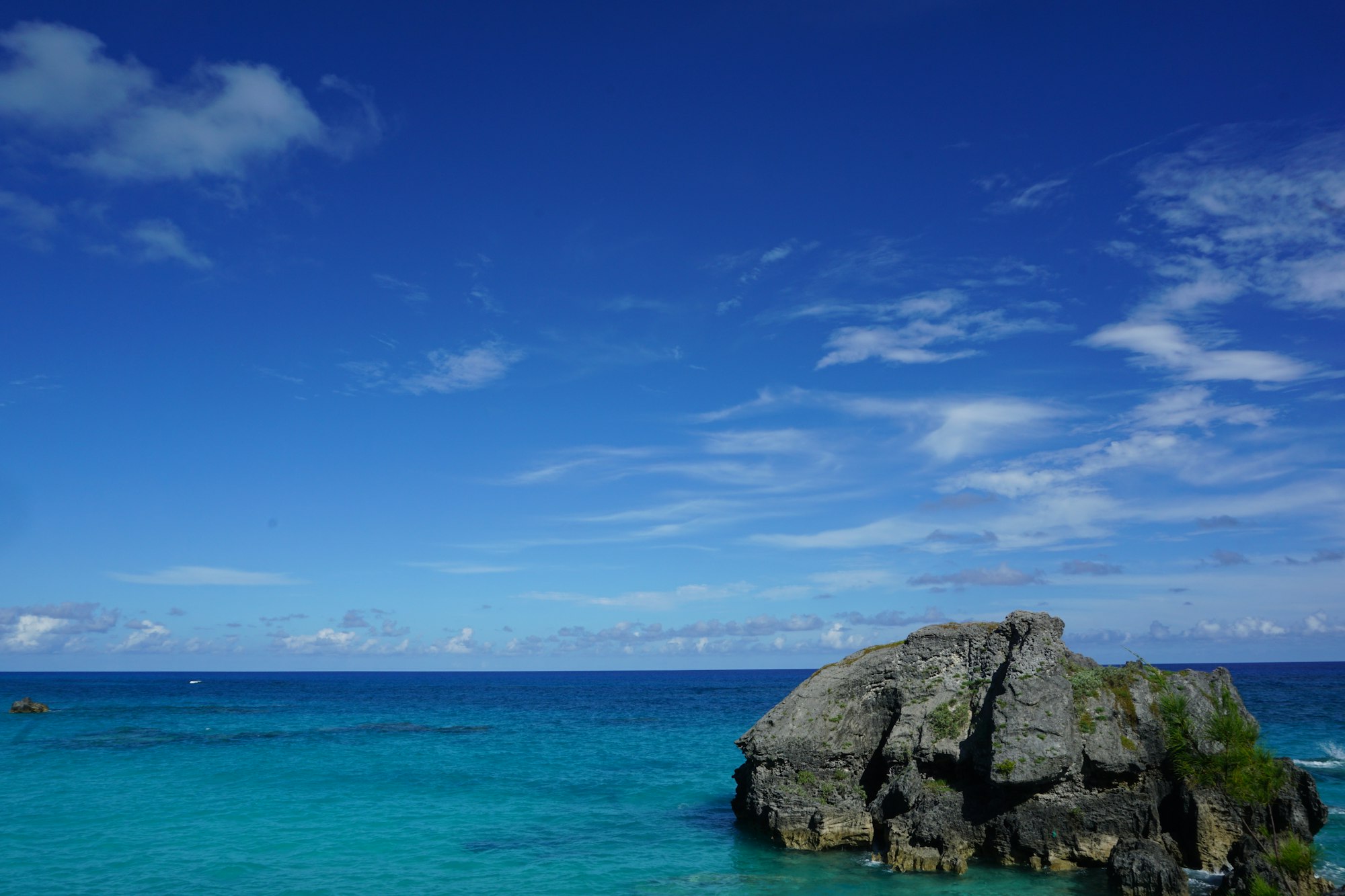
The north shore on the old rail bed, finishing across Bailey's Bay on a footbridge at close to water level.
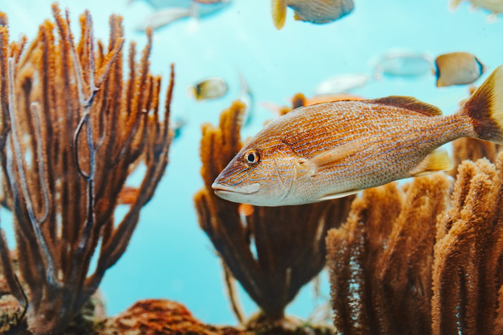
After one thirty the feeds stack up: harbour seals, then an aquarist in the reef tank, then the turtles.