Horseshoe Bay to Warwick Long Bay
Walk it one way and take the bus back. The path is short, but it passes half a dozen coves most Horseshoe Bay visitors never reach, so give it a morning and swim wherever the water looks best.
Paths from OpenStreetMap; the beach stretches are drawn down the middle of the sand. Elevation from a 30 m terrain model, which blurs a beach into the cliff behind it, so treat the metres as a shape rather than a survey.
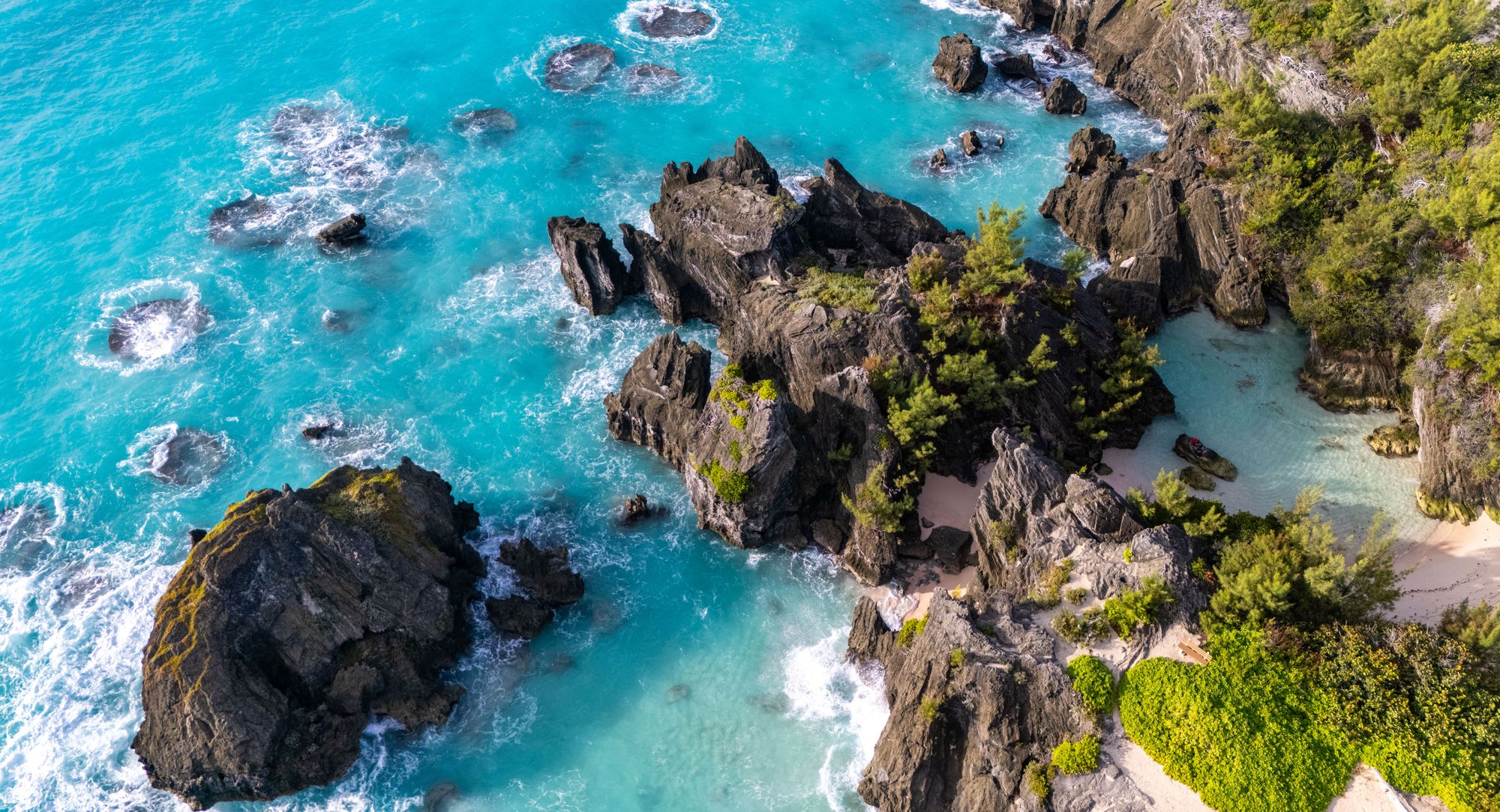
Horseshoe Bay is the beach every visitor is sent to, and the park runs east of it to Warwick Long Bay with nothing built behind the sand. Limestone headlands split the shore into a chain of small coves, and walking is the only way into most of them.
The park is protected under the National Parks Act, which is why there are no stalls or loungers past Horseshoe Bay. It is also what makes the walk: a few coves from the busiest beach on the island, the sand is close to empty.
Walk it west to east, as the map runs. You leave Horseshoe Bay before it fills, pass Jobson's Cove while it is still quiet, and finish on the longest beach on the island with the best of the snorkelling.
About half the walk is on sand, the beaches themselves and the dune path behind them. The rest is packed path over the headlands, with road only at the two ends. The rock between the coves is jagged limestone and hard going at high tide, so wear water shoes rather than flip flops.
Another walk worth a morning, and the places around this one
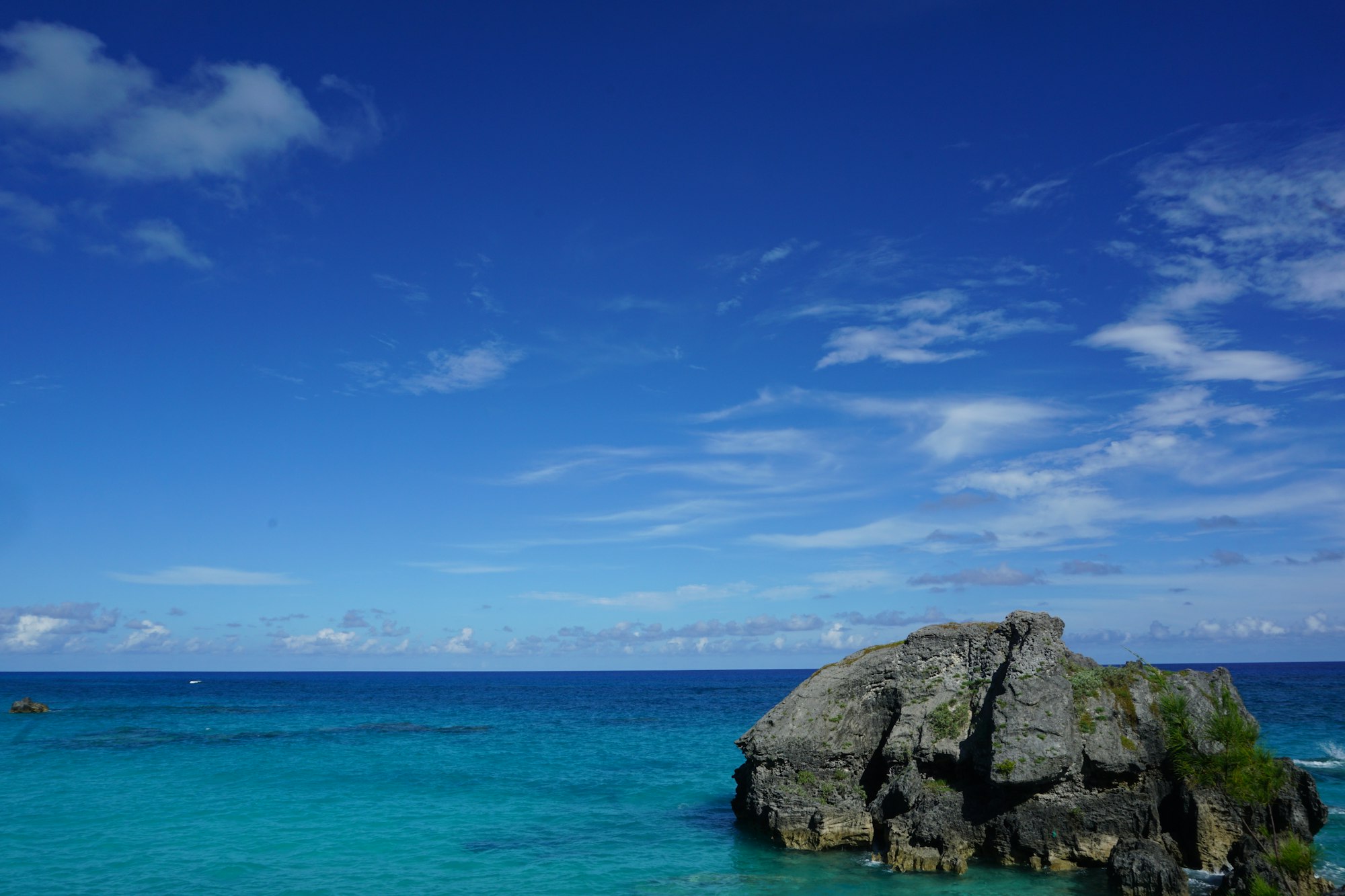
The north shore on the old rail bed, finishing across Bailey's Bay on a footbridge at close to water level.
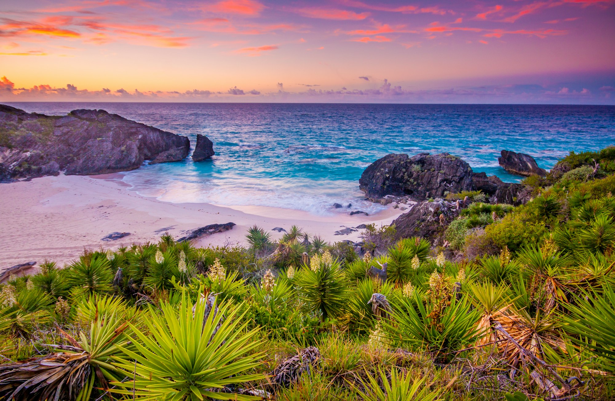
The pool is tiny, so the hour matters more than the day: it thins out after three.
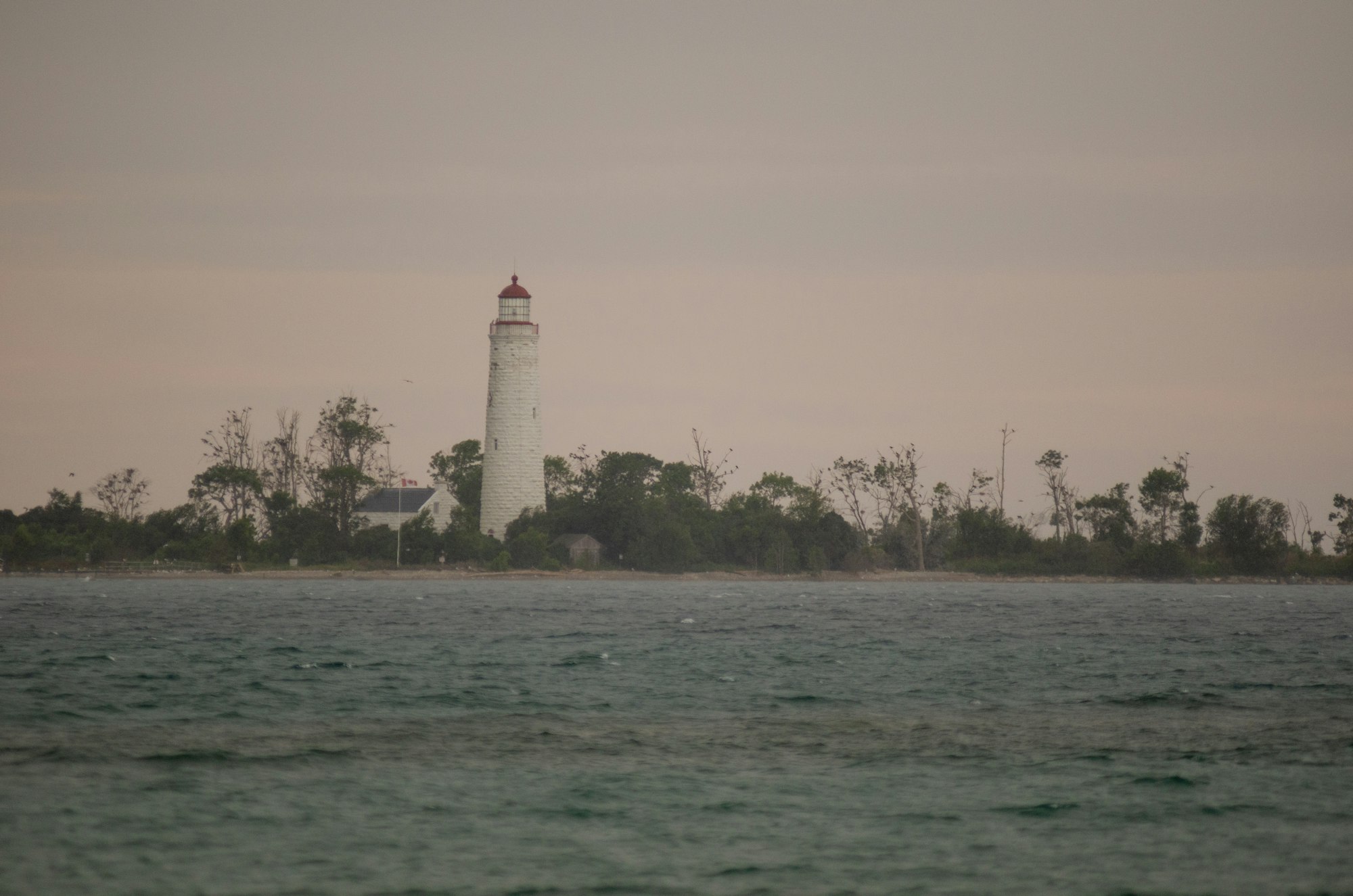
The lighthouse on the hill above Southampton, west of the start along the same bus route.