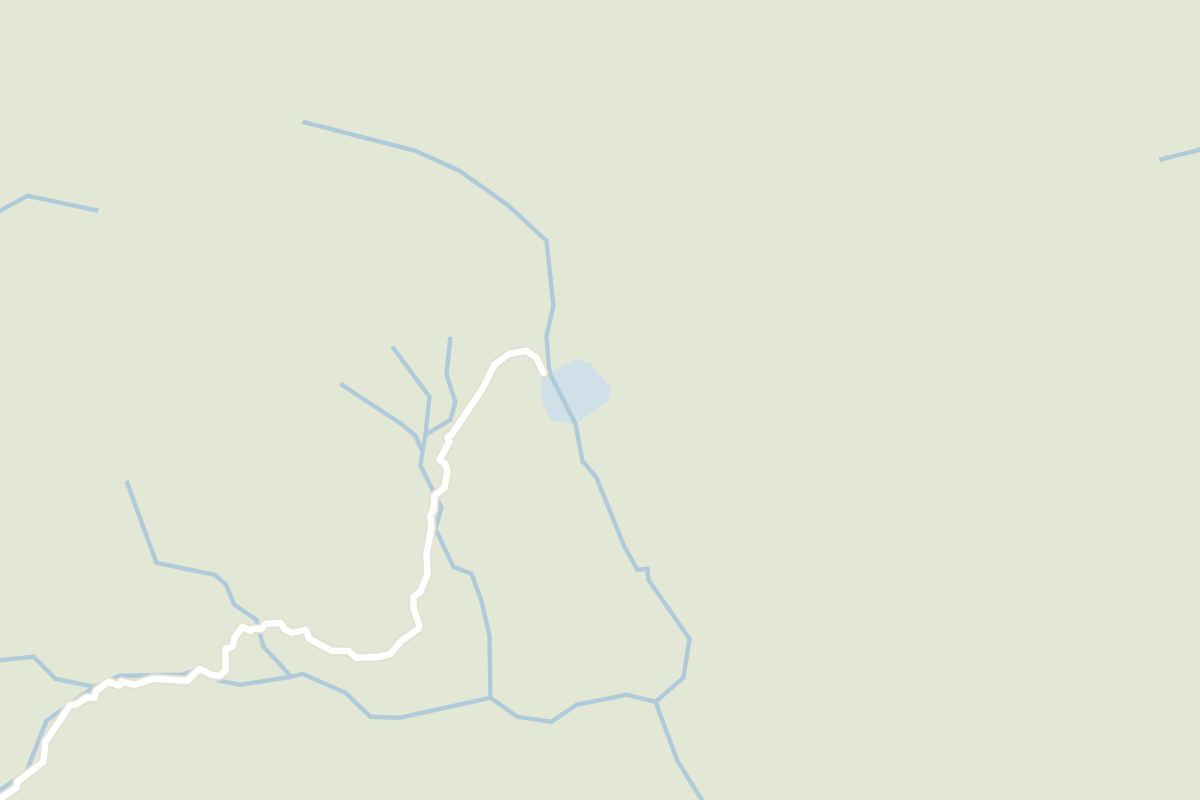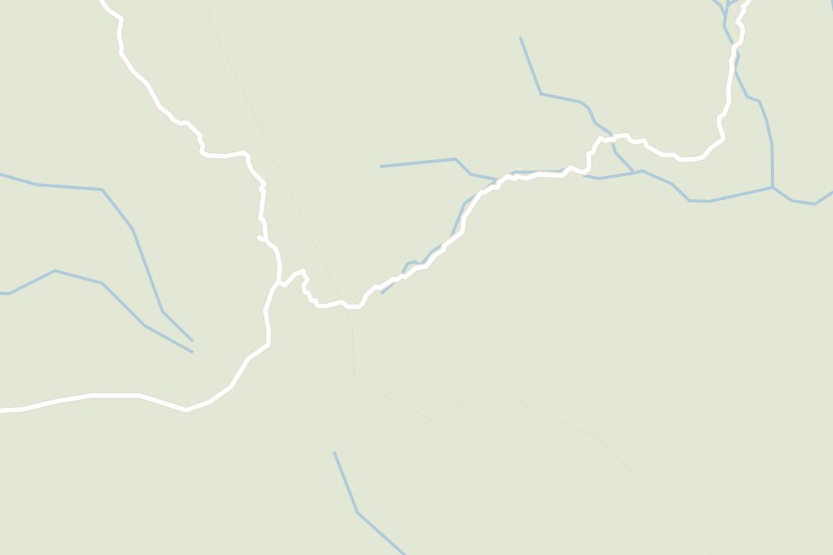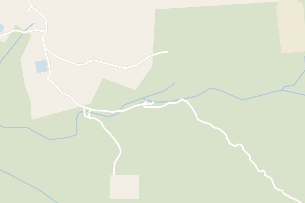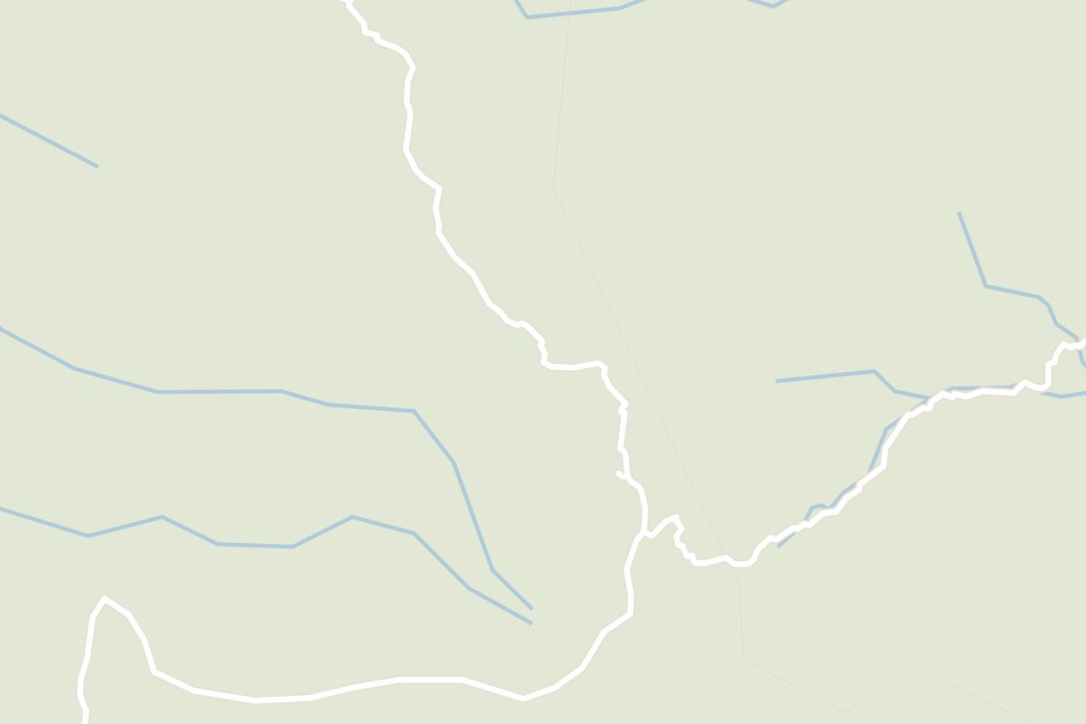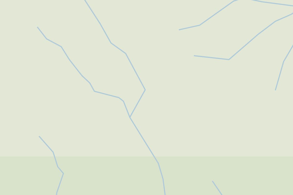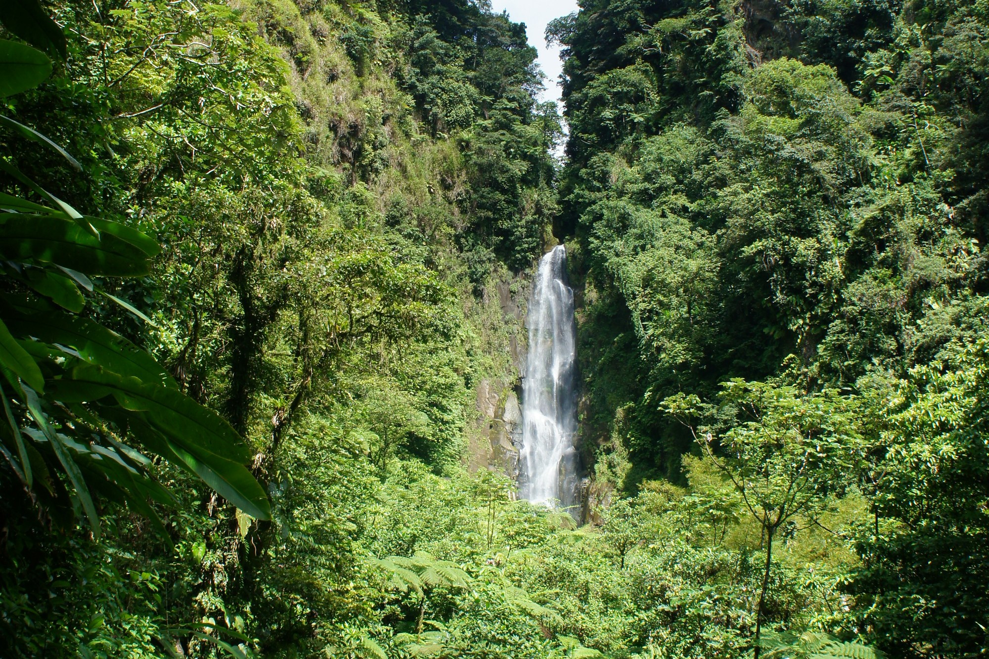
There is no road to the Boiling Lake, no viewing platform above it and no short version of the walk. It sits about eight hundred metres up in the interior of Dominica, at the end of some thirteen kilometres of rainforest, ridge and vented volcanic ground, and the only way to stand over it is to spend the day getting there and getting back.
Allow six to eight hours for the round trip. The route falls into three roughly hour long legs in each direction, and the return is the harder half, because the climb back out of the Valley of Desolation comes last and comes on tired legs. A guide is not a suggestion here: Dominica's tourist authority requires you to walk with a certified local guide.
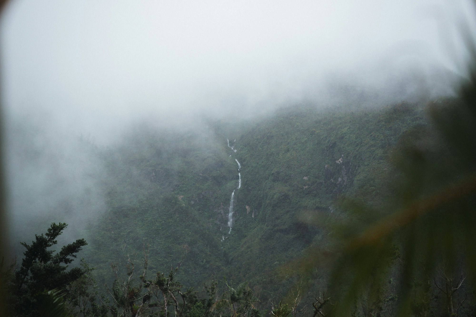
This is the walk Dominica is known for, and the island has built its tourism on that reputation. Come for a beach holiday and you have picked the wrong island. Morne Trois Pitons National Park has been a World Heritage Site since 1997, the first natural one inscribed in the Eastern Caribbean. Inside it are five volcanoes and something like fifty fumaroles, and the Boiling Lake is the thing they all point at.
The lake is a flooded fumarole. Not a crater in the ordinary sense but a vent in the rock that filled with water, roughly sixty to seventy five metres across and twelve to fifteen deep, sitting in a basin of high grey walls. It is the second largest of its kind on earth, behind Frying Pan Lake in New Zealand.
At the edges the water runs between eighty two and ninety two degrees. The centre has never been measured. Henry Prestoe, then the government botanist, and Henry Nicholls took those edge readings in 1875, and they are the figures still quoted a hundred and fifty years later. What keeps the lake at the level it sits at is gas, rising through the rock beneath and holding the water charged from below.
Know this before you fix a date. The Boiling Lake does not always boil. When the vents underneath it block, the gas stops arriving, the level falls and the surface goes quiet, and it has done this at least eight times since 1876.
The longest recorded quiet ran from December 2004 into April 2005 and took about ten metres off the level. It happened again far more recently than that: the lake fell over the winter of 2023, and by the following spring there was little to no water left in the basin. It can come back inside a day, and nothing published will tell you in advance which lake you are walking to.
Call Dominica's Forestry, Wildlife and Parks Division before you go up, which is the UWI Seismic Research Centre's standing advice. A drained lake is not a safer one: carbon dioxide collects in the basin and small steam explosions become likelier, which is why your guide will keep you off the water and keep your time on the crater rim short. You need a Forestry site pass for any site inside the national park.
That rule about the water's edge was written by a death. During the drained episode at the turn of the last century a party of three went down to the shore, and a sudden release of gas killed two of them, a hiker and a Dominican guide. It is the incident the seismologists still cite when they explain why a ledge some thirty metres above the surface is as close as you will be taken.
The walk starts beside Titou Gorge, a few minutes above the village of Laudat and about forty minutes from Roseau. The first leg is rainforest and it is the muddiest ground of the day: steps cut from fern logs, stepping stones, roots, and a surface that never really dries. It drops to the Breakfast River, which is where you stop to eat and fill your bottles.
After the river the path climbs Morne Nicholls, which tops out at 966 metres. This is the serious ascent, humid and largely unshaded. Guides use the Trois Pitons River crossing as a turn back point: if you are labouring by then, turn round there. The far side drops on steep muddy banks and a great many built steps, with a fixed rope on at least one rock section.
Then the forest simply stops. The Valley of Desolation is bare volcanic ground streaked yellow, orange and white, venting steam, with hot streams running across the route, so you cross and re-cross the water. The path is vague here. This is where the guide requirement stops being paperwork, because the crust can give way under your boot and put your leg into boiling mud, and ground that reads as rock is sometimes dried mud lying over a vent.
The last leg is thirty to sixty minutes of climbing on dirt that turns to slippery rock, and it finishes on the ledge above the shore. What is underneath is usually invisible. Steam sits on the surface and lifts in gusts, so the lake arrives in pieces, grey water turning over, for as long as the wind allows and no longer. A fair number of accounts note that it looks smaller than expected, and if you have come for a geyser you will be disappointed.
Whether that repays a full day depends on what you want from one. Walkers who have done it say broadly yes, at moderate to good fitness, and more than a few rate the Valley of Desolation above the lake at the end of it. Leave young children and first time hillwalkers out of it, and do not book at all if you are unsure about seven hours on wet ground. In heavy rain the river crossings rise and the mud gets materially worse, so take the drier months if you can choose your dates.
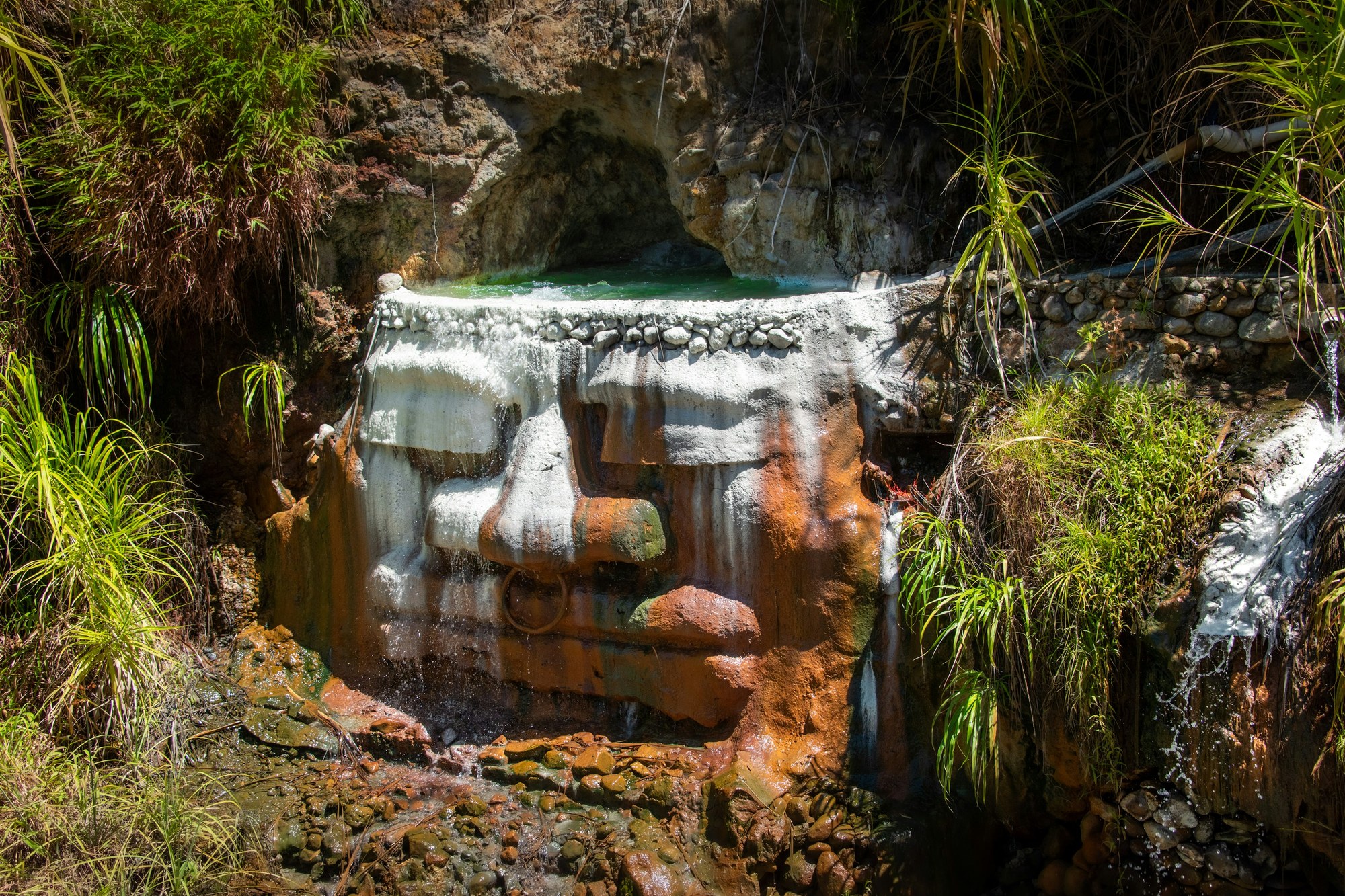
The best of the day is arguably on the way back down. Below the valley sit warm sulphur pools fed by a waterfall, which is where you will want to stop on the return, and at the trailhead itself Titou Gorge is a cold swim into a narrow slot with a hot spring pouring in alongside. Guides boil eggs in the hot streams up in the valley to show how hot the ground is.
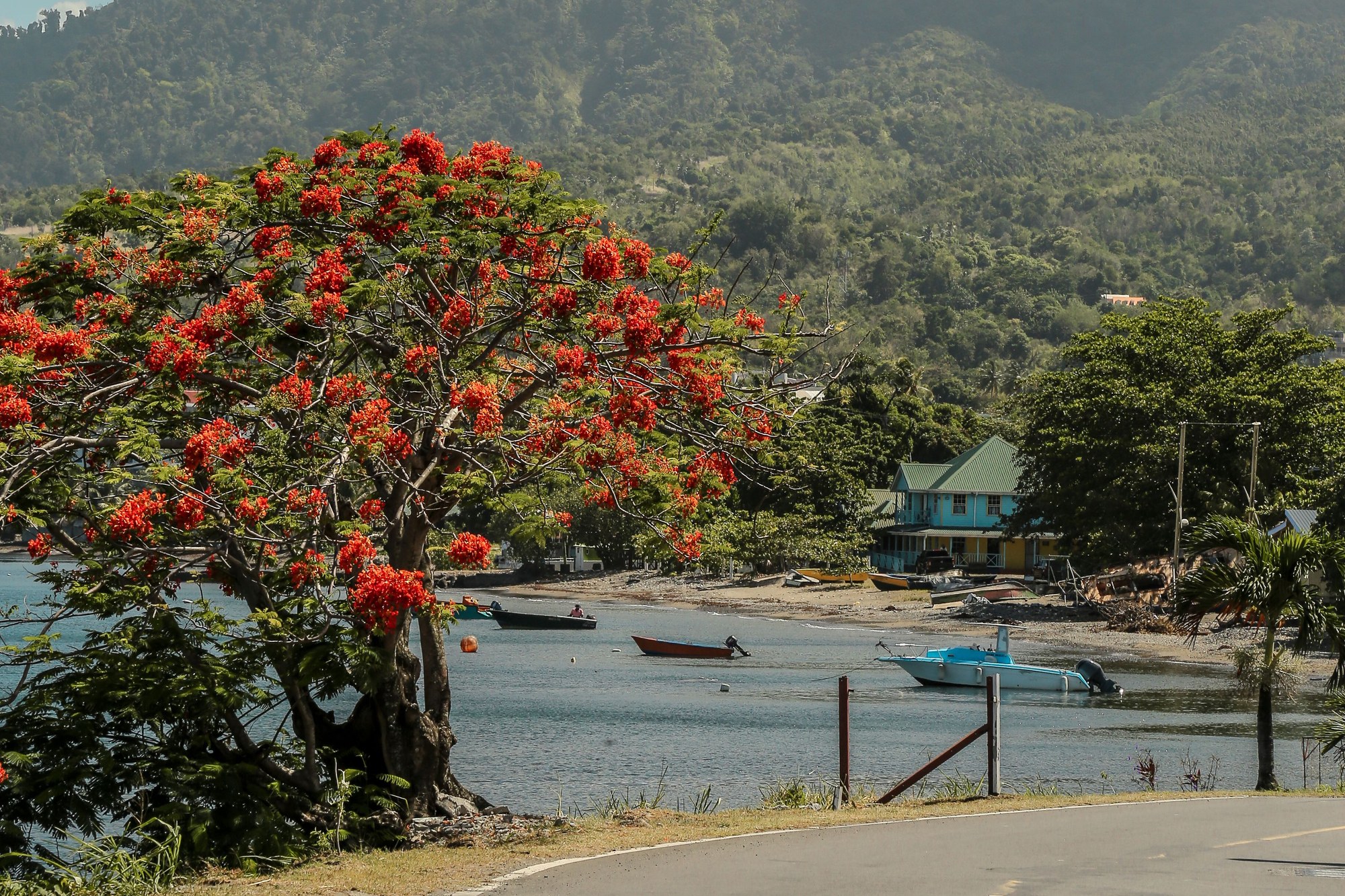
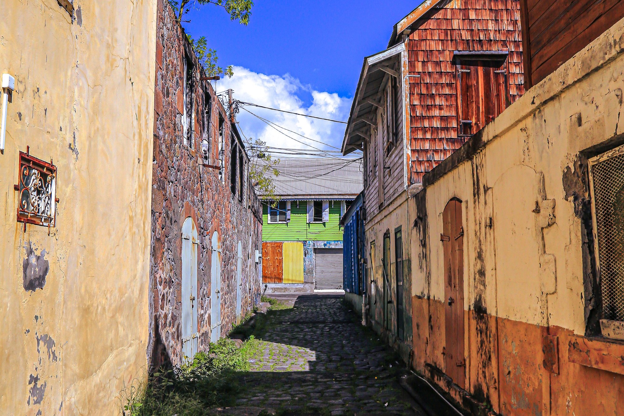
The practicalities are short. Base yourself in Laudat or Wotten Waven, both inside half an hour of the trailhead, and book your guide through a guesthouse there or directly. Start at eight, or earlier if your guide will, because it buys you cooler ground for the return and quieter pools on the way down. Carry at least two litres, and take a waterproof whatever the forecast says: the interior of Dominica takes up to about seven thousand millimetres of rain a year.
One further thing shapes the trip and is easy to miss from a distance. Hurricane Maria came ashore on 18 September 2017 as a category five storm and damaged something like ninety per cent of the island's buildings. Every one of the fourteen segments of the Waitukubuli National Trail closed behind it, landslides buried crossings and rivers moved. What has been rebuilt since came back with better trailhead infrastructure and a widened guide training programme, which is part of why the guiding on this route is as organised as it is.
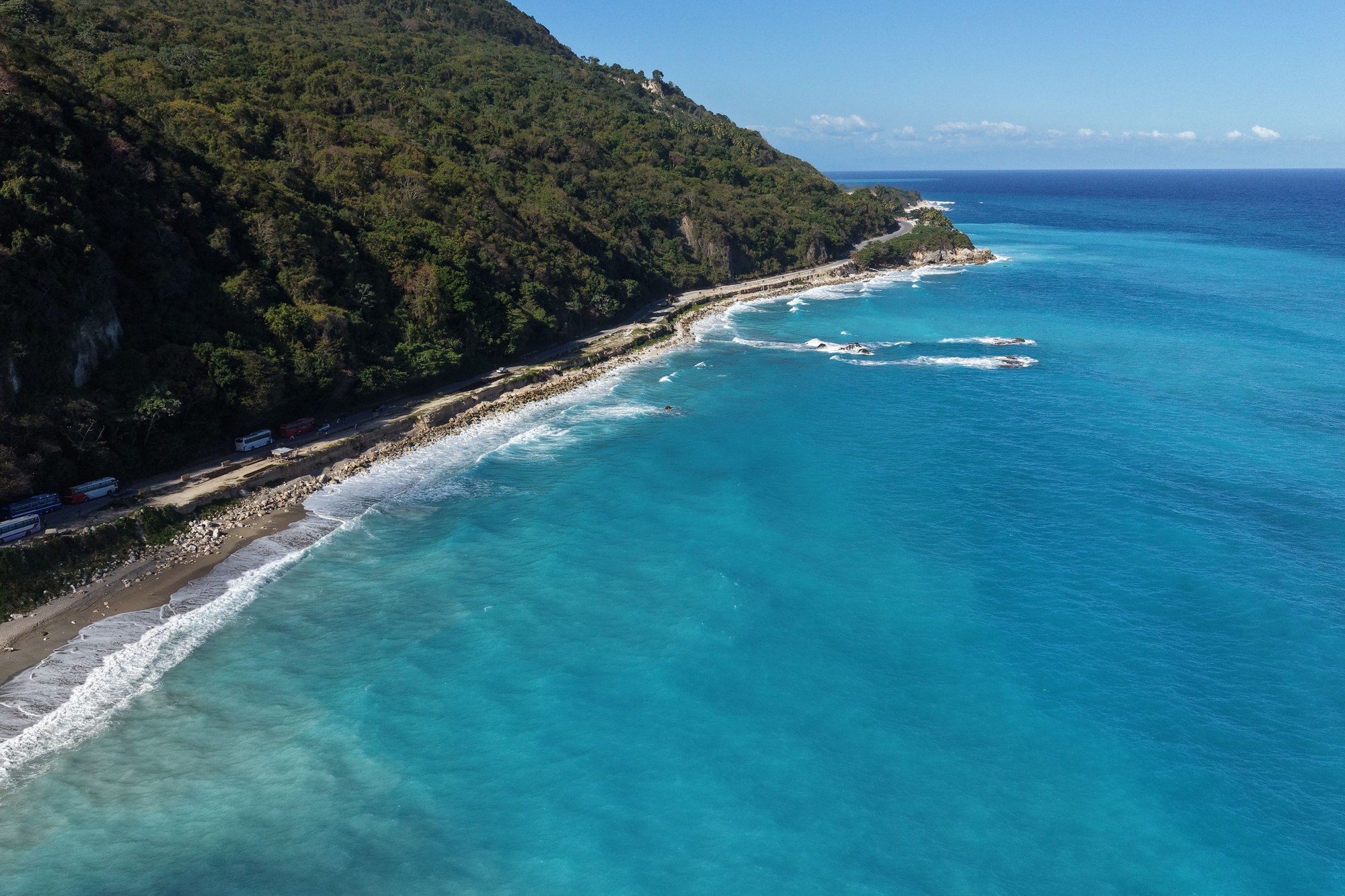
All of this is on a clock. A cable car has been under construction in the Roseau valley since 2022, 6.6 kilometres of it, billed as the longest mono-cable system in the world and designed to put you within about twenty minutes of the lake. The published specification runs to sixty five cabins of ten people apiece and something close to a thousand people an hour, which is a different order of visitor from the one the trail delivers.
It is not open. The completion date has already moved more than once and there is no reliable one to give. For now the only way to the Boiling Lake is the one that has always existed: about three hours in, about three hours back, and a certified guide on the vented ground the whole way.