Globe Countries Cities Dispatches About Get the App
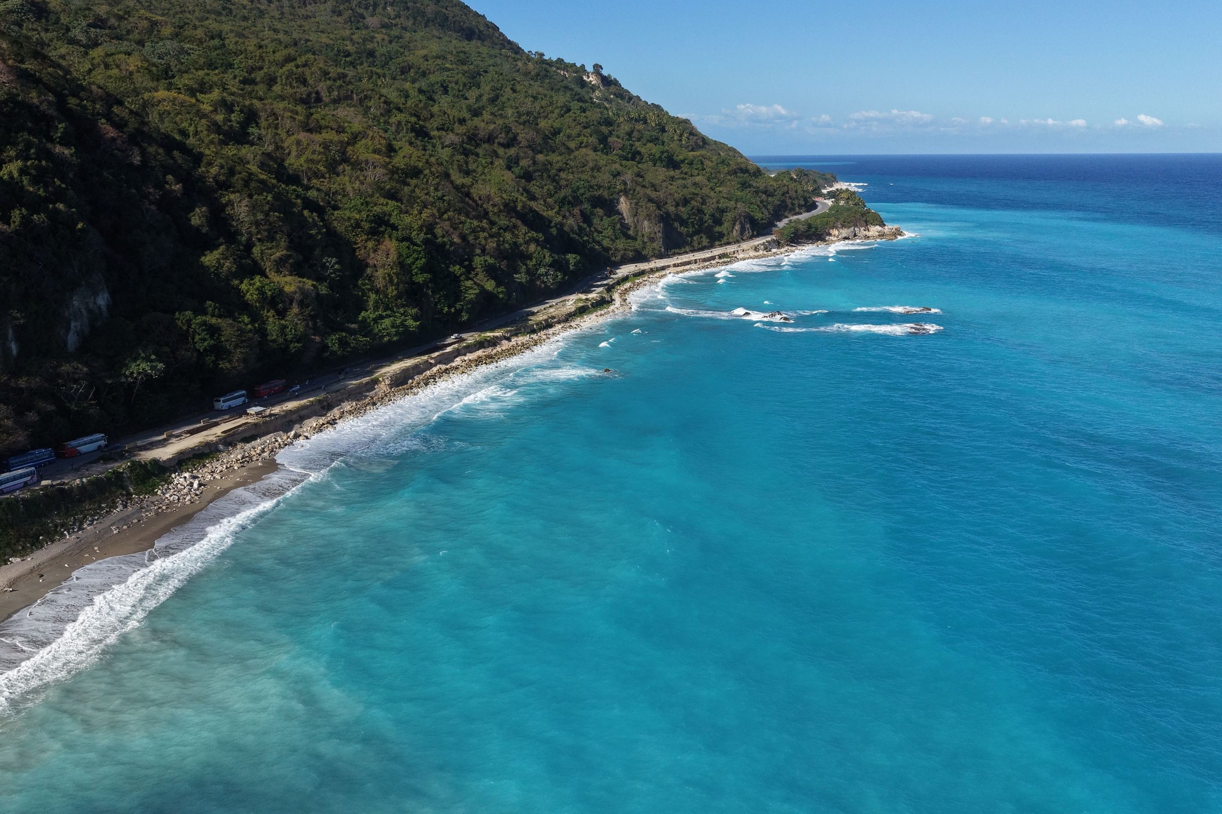
A dark volcanic beach and turquoise water below a steep forested headland on Dominica
The leeward coast under the forest · the island has little sand, and what it has is mostly grey or black
Country brief · 15.4150°N 61.3710°W

Dominica

The Caribbean island that never built a beach economy, and kept the forest instead.

How long
A weekfive days barely covers the Roseau valley
Getting around
Hire a cardrive on the left; a local permit is required
When
February to Aprildriest; hurricane season runs June to November
Language
EnglishKwéyòl, a French creole, is spoken alongside it
Money
East Caribbean dollarpegged to the US dollar, which is widely taken
Airports
Douglas-Charlesno direct flights; everyone connects onward
How long

How many days do you need in Dominica?

A week. The island is small enough to drive across in a morning and slow enough that nobody does: the roads follow the ridges, so forty kilometres can take two hours. Five days covers the Roseau valley, the south west coast and one long walk in the interior. Ten allows the north, the Kalinago Territory on the east coast and a second hard day on foot.

Getting around

Do you need a car in Dominica?

For anything outside Roseau, yes. Minibuses with green plates connect the villages and run to their own timetable, which suits residents and defeats a visitor working to a plan. Driving is on the left and a local permit is required, issued by the hire company at the desk. The roads are narrow and steep and mostly well surfaced, and the hazard is the blind bend rather than the condition.

When

When is the best time to visit Dominica?

February to April is the driest stretch and the most reliable for the interior. Hurricane season runs June to November with September its peak, and Maria came ashore on 18 September 2017. Some rain falls most days whatever the month, because the mountains make their own weather: the interior takes several times what the leeward coast does, and river crossings rise fast after it.

Language

What language is spoken in Dominica?

English is official and is used in government, schools and business. Alongside it Kwéyòl, a French-based creole, is widely spoken and has been actively revived since the 1980s after decades of official discouragement. It carries the Creole season around independence at the start of November. Place names across the island are French, a legacy of the century the two powers spent trading it between them.

Money

What currency does Dominica use?

The East Caribbean dollar, shared with seven other states and pegged to the United States dollar at a fixed rate, which keeps conversion to simple arithmetic. US dollars are widely accepted, though change tends to come back in local currency. Cards work in Roseau, the hotels and the larger supermarkets. Village shops, minibuses and trailhead guides expect cash.

Airports

Where do you fly into Dominica?

Douglas-Charles on the north east coast takes almost every arrival and sits about an hour from Roseau. Canefield, fifteen minutes from the capital, has a short runway and handles light aircraft. No airline flies in direct from North America or Europe, so every visitor connects through another island, usually San Juan, Antigua, Barbados or Miami. A larger airport intended for wide-body aircraft is under construction at Wesley.
Why you should visit

Ninety seconds on the island

Dominica is the Caribbean island the beach economy passed over, and the reason is geology. It is young, steep and volcanic; its sand is grey or black where there is any at all, and there was never a flat coastal shelf to lay a resort strip along. What it has instead is the middle.

That middle is mountain rainforest running the length of the island, and it is protected. Morne Trois Pitons National Park was inscribed by UNESCO in 1997, the first natural World Heritage Site in the Eastern Caribbean, and most of what a visitor comes for is inside it or on the road to it.

The island is also the last ground the Kalinago held. Every other Carib community in the Lesser Antilles was killed, deported or absorbed into somebody else’s population; here about three thousand seven hundred acres on the east coast were set aside in 1903, and the community on them still elects its own chief.

What all of it costs is effort. The roads are slow, the best of the interior needs boots and a guide, and in September 2017 Hurricane Maria damaged something like nine tenths of the buildings on the island. What came back was rebuilt with better trailheads and a widened guide training programme, which is the one good thing to come out of it.

Five Ways to Travel It

Pick how you want to travel. The towns, the things to do and the map all change with it.

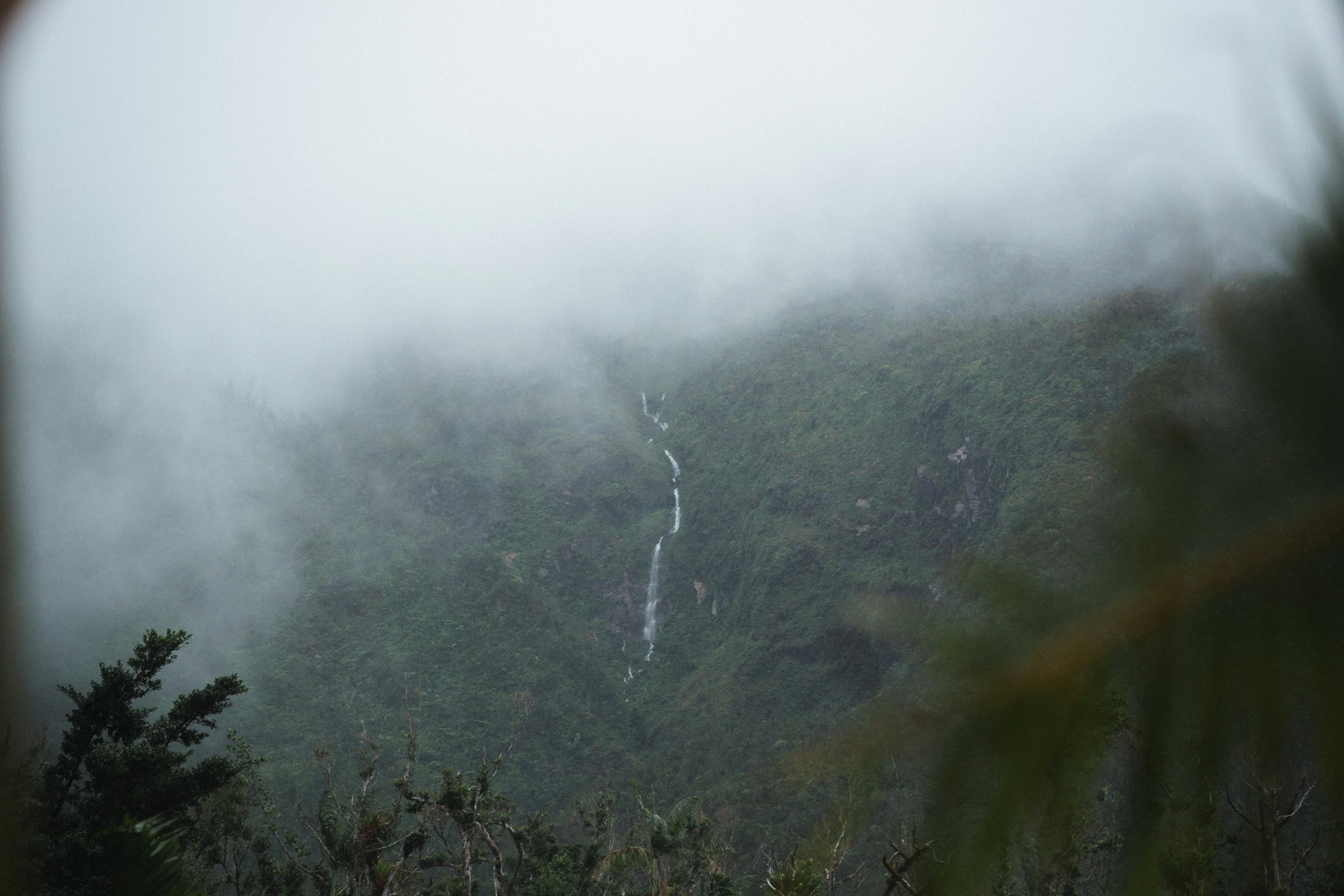
Low cloud lying across a steep forested wall in Morne Trois Pitons National Park with a thin waterfall on it
Morne Trois Pitons National Park under cloud. The interior takes several times the rain the coast does, and makes its own weather doing it.

Nature

The Best Places to Visit for Nature Travel in Dominica

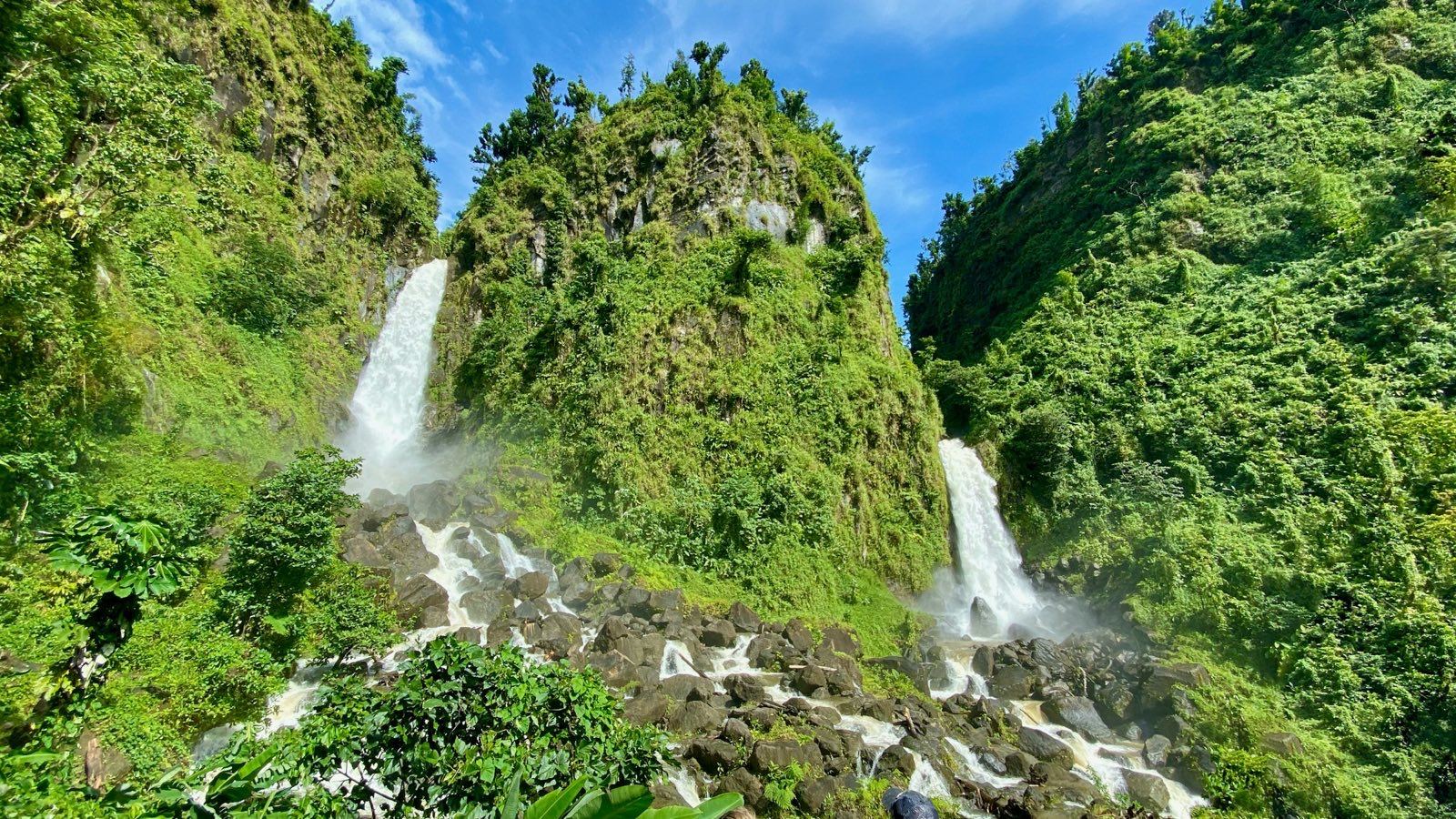
Water is the organising fact here. Rivers come off the central ridge in every direction and drop through the forest in stages, so the island’s set piece is not a view but a waterfall, and there are enough of them that villages are known by which one they hold. Trafalgar has two of them side by side.

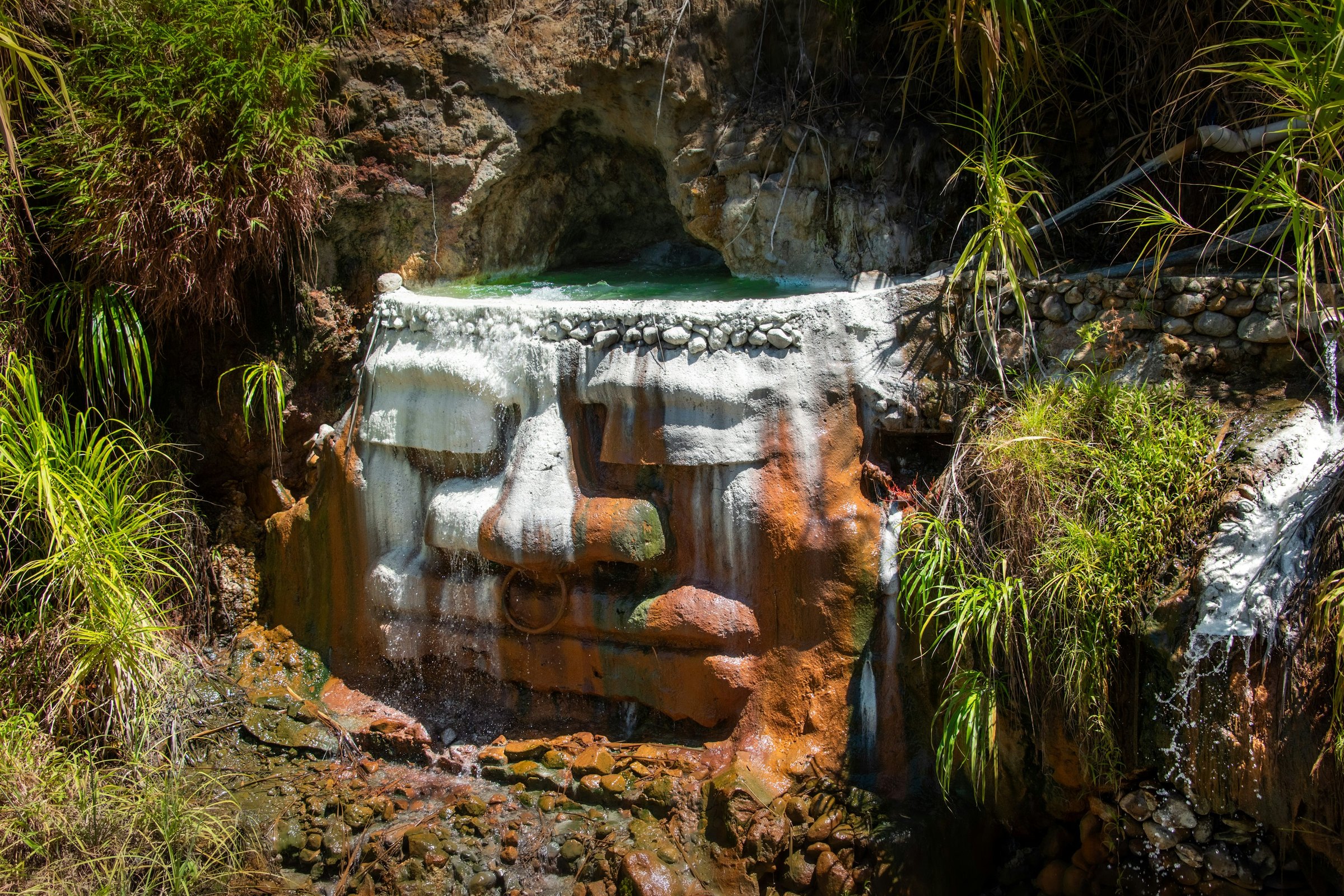
Above the falls sit the crater lakes and the geothermal ground. Boeri Lake fills an old vent at about eight hundred and fifty metres, the sulphur fields at Wotten Waven steam in people’s gardens, and Colihaut looks up at Morne Diablotins, which at 1,447 metres is the second highest mountain in the Lesser Antilles.

Plan the trip

Loading the map
View on globe

Last updated

Meridian Dispatch for iPhone

Start planning your trip
to Dominica.

The places on this page are in the app, each with a verdict: why to go, how far from your hotel, how long to stay. Forward your confirmations and the days fill themselves in.