 Submit a photo
Ninety seconds on Parque nacional Lauca
Two volcanoes, Parinacota and Pomerape, rise above 6,000 metres over lagoons and green wetlands, and you reach them on a single road that climbs from the Pacific coast at Arica.
Lago Chungará is the park's main sight. Its water reflects the matched cones of Parinacota and Pomerape, and the lake is one of the best viewpoints for Parinacota.
The Cotacotani lagoons are four stretches of water joined by channels. Volcanic eruptions left dozens of islands in them and formed the undulating ground around them.
Where water runs over the surface all year and the soil stays soaked, bofedales form, the green wetlands of the high plain. CONAF ranks the park's birds and mammals as its most outstanding resource, among them three kinds of flamingo and the suri.
Parinacota village is almost empty now, though it was once a busy place. Its church was built to replace an older one destroyed by an earthquake.
The park belongs to UNESCO's world network of biosphere reserves.
Leave Arica on Ruta 11-CH and climb to Putre, at about 3,500 metres. Spend the first night there so your body can adjust before you go higher.
Next day, take the same road on past the hills above Putre onto a wide, flat plain. At Parinacota, walk out to the bofedal to watch the giant coots, with their horned beaks, laughing call and island nests, and look for vicuñas, then go up to the church in the village.
The Cotacotani lagoons come next. The last stretch of the route to them crosses private land where you sometimes cannot pass, so check the state of the path in Putre before you set out. Whether you can go on to Lago Chungará depends on the closure under Know before you go.
Without a car of your own, a tour is the only way into the park. Chile's tourism board recommends either a guided tour or a hired 4x4, because the distances are long and the terrain is high.
Driving yourself suits you if you can give a night to Putre before the climb and take the curves of the mountain road slowly.
Headache is the main sign of altitude sickness, usually with dizziness, nausea or tiredness, and it tends to start 2 to 12 hours after you arrive high up. If it gets worse while you stay at the same height, go down: a descent of 300 metres or more usually brings quick relief.
Take the day gently, because the air holds less oxygen the higher you go. Carry water and drink often, eat light and leave alcohol for the coast.
Pack for two climates. The sun is intense by day, so bring sunglasses, a hat and sunscreen; the nights are very cold, and one visitor reported -13 °C on arriving at the lake, so add gloves and a warm layer against the wind.
Explore the rest of Arica
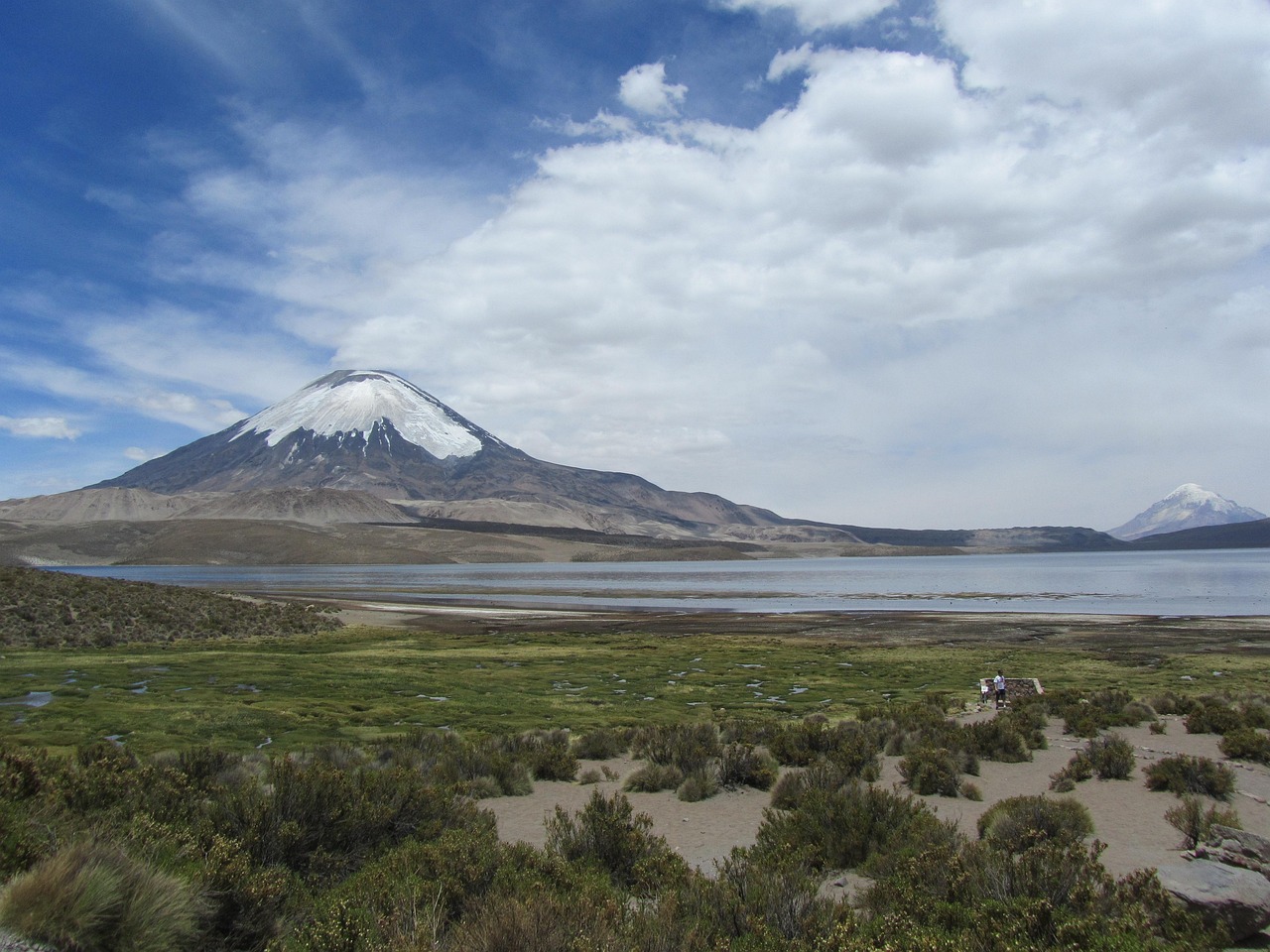
One of the highest lakes on earth at about 4,520 metres, spread under the Parinacota volcano with giant coots and flamingos on its…
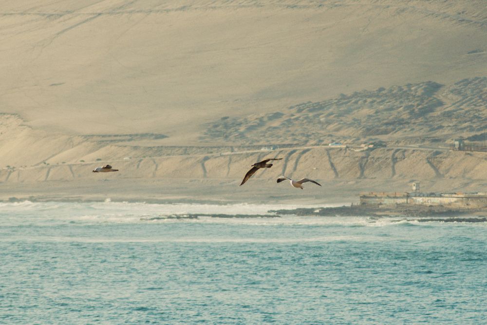
Arica stands at the far north of Chile, a port city under a brown headland where the Atacama desert meets the Pacific and the Peruvian…
The official pages this guide was checked against.
Last updated