Chile
Santiago first, then one region: the desert, the lakes or the ice.
How many days do you need in Chile?
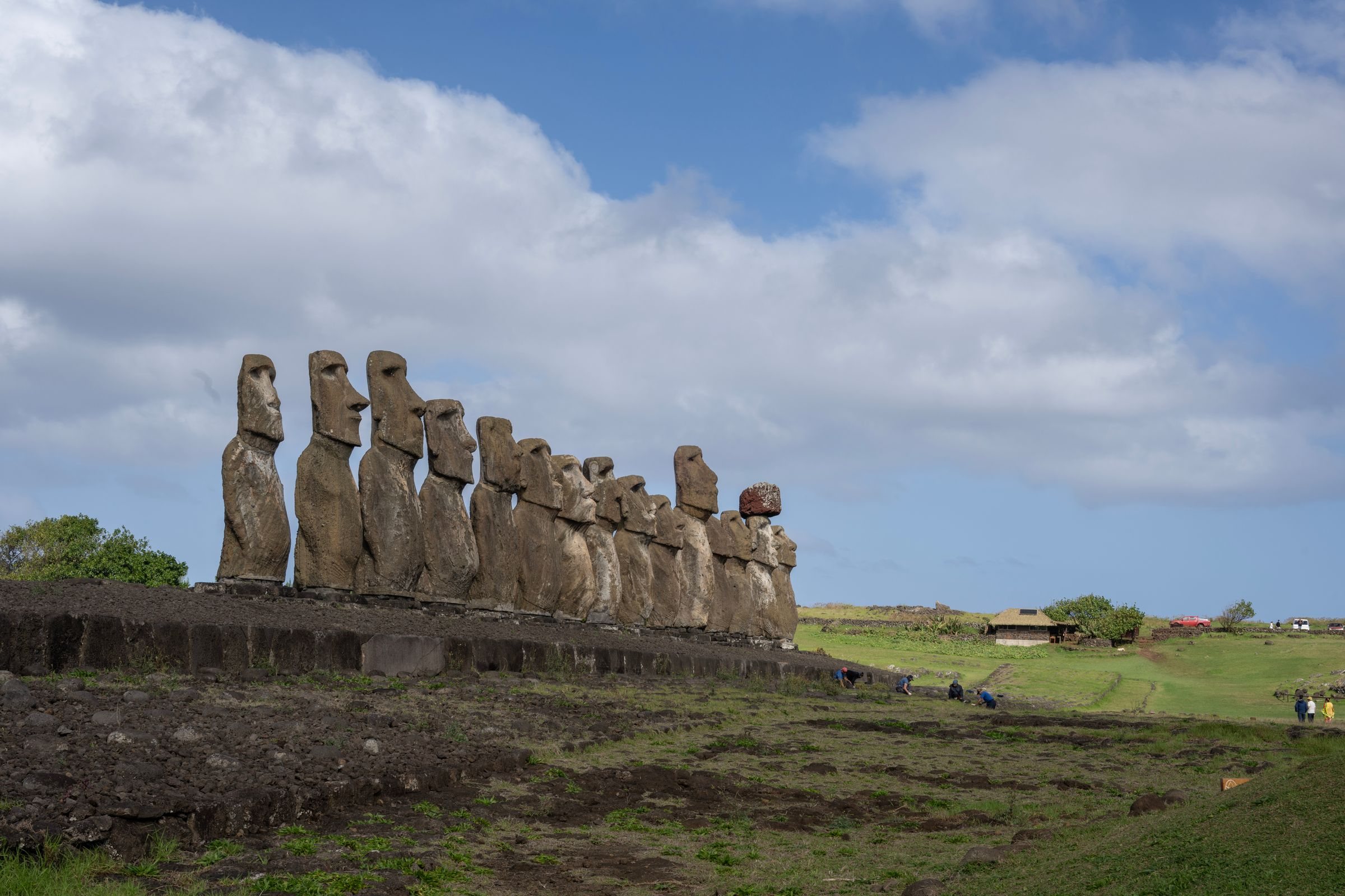
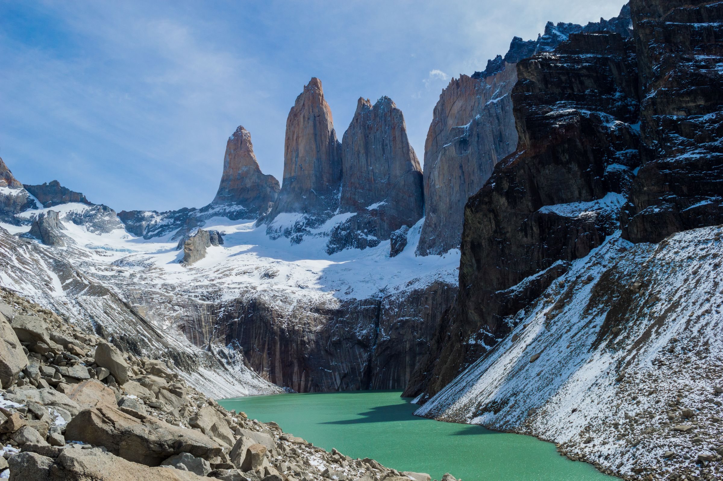
Chile runs about 4,300 kilometres north to south and averages 177 across, so distance sets the length of a trip. One region, the Atacama, the Lake District or Patagonia, takes about a week with the flights at each end. A second region means flying back through Santiago, because the domestic network radiates from the capital. San Pedro de Atacama and Torres del Paine in one trip is two internal flights plus long road legs at both ends, which puts the honest floor at a fortnight. Rapa Nui is a trip of its own, five and a half hours out over the Pacific.
Do you need a car in Chile?
A hire car suits the Atacama and the Lake District, and LATAM, Sky and JetSmart fly the domestic network through Santiago: about two hours to Calama, three and a half to Punta Arenas. Long-distance buses are comfortable and cover the paved country in a day or more. The Carretera Austral turns to gravel south of Coyhaique, and its northern link from Hornopirén to Caleta Gonzalo is two ferries, booked months ahead in high season. The Navimag ferry sails Puerto Montt to Puerto Natales through the fjords in four days, roughly weekly from October to March.
When is the best time to visit Chile?
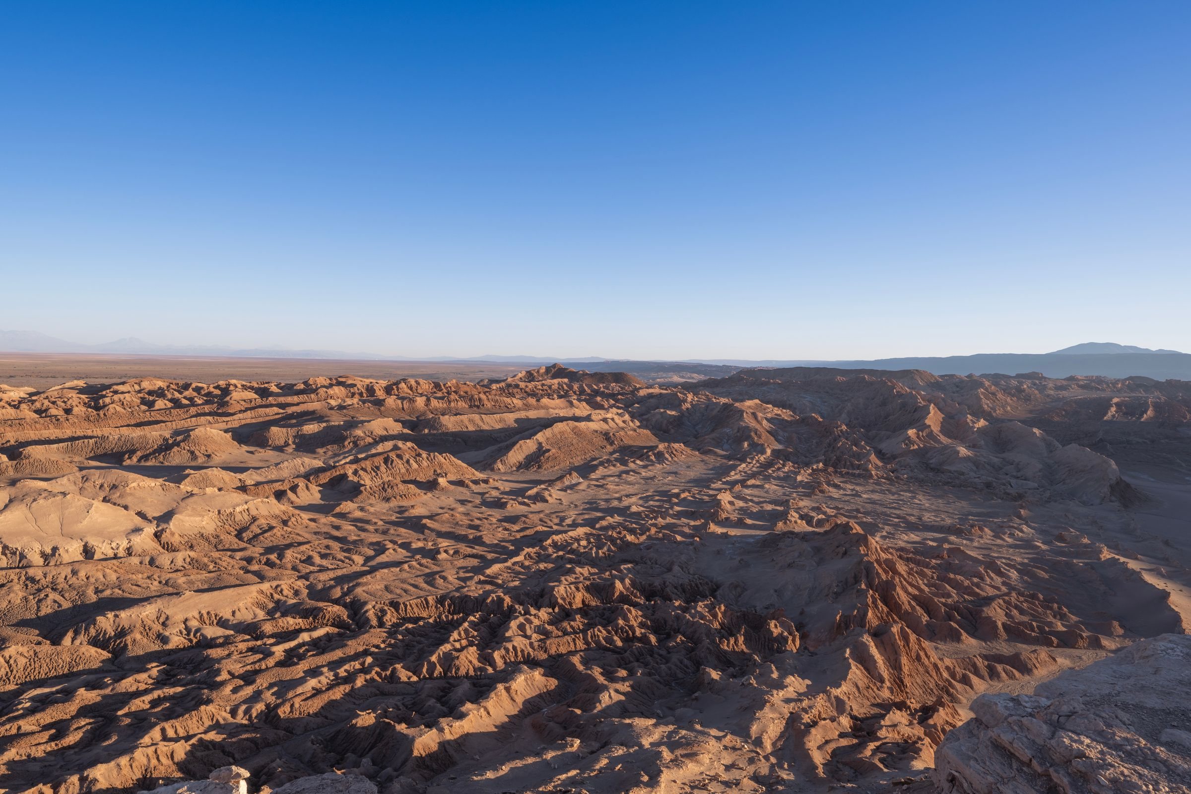
The Atacama is clear and dry in every month, so timing there is a question of night temperatures. The Lake District, the Carretera Austral and Patagonia run from November to March, when the ferries, the refuges and the long daylight line up. Torres del Paine is windiest in those same months, with summer gusts commonly 80 to 100 kilometres an hour. The central Andes ski season runs from late June to late September. Rapa Nui holds Tapati in the first fortnight of February, the island’s busiest window.
What language is spoken in Chile?
Spanish, everywhere, spoken quickly and with a heavy local vocabulary, so it is harder than the textbook for a visitor with a little of the language. Chile scores 517 on the 2025 EF English Proficiency Index, 54th of the countries measured and in the moderate band. English is common at Santiago hotel desks, among the operators of San Pedro de Atacama and Puerto Natales, and on Rapa Nui, where tourism is the economy. It thins quickly in small towns, on buses and in rural Patagonia.
What money does Chile use?
The Chilean peso. Visa and Mastercard are taken in cities, hotels and larger shops, while cash matters in small towns, along the Carretera Austral and at markets. Shops refuse US dollars as a rule, though hotels quote in them, and a foreign visitor who settles a hotel bill in dollars against the tourist card is exempt from the accommodation tax. Restaurants print a suggested tip of 10 percent on the bill, optional in law and normal in practice. ATMs are plentiful in cities and thin in Patagonia and the far north.
Where do you fly into Chile?
Santiago’s Arturo Merino Benítez, SCL, takes almost every international arrival and nearly every domestic connection, about 26.5 million passengers in 2025. Calama, CJC, is the airport for San Pedro de Atacama, an hour and a half away by road. Puerto Montt and Temuco open the Lake District, Balmaceda serves Coyhaique and the Carretera Austral, and Punta Arenas is the gateway to Torres del Paine by way of Puerto Natales. Mataveri on Rapa Nui is flown by LATAM alone, from Santiago, close to daily.
Do you need a visa for Chile?
US, UK, EU, Canadian and Australian passports enter as tourists without a visa for up to 90 days, and Chile runs no electronic travel authorisation for them. The border police issue a tourist card slip, kept with the passport, shown at hotel check-in and surrendered on departure. Rapa Nui is a separate entry: a Single Entry Form is filed online from 21 days before arrival, with a return ticket, a stay of no more than 30 days and a booking with a registered operator. Torres del Paine passes are bought in advance from CONAF, and refuge and campsite bookings must be confirmed before an overnight trek begins.