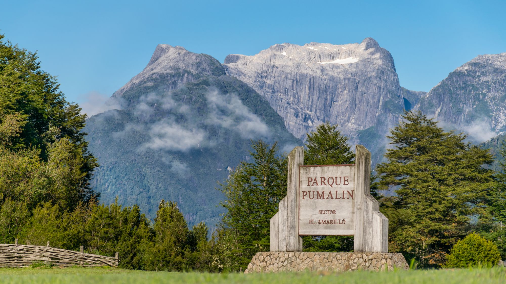
Ninety seconds on Pumalín Douglas Tompkins National Park
Give the park two days from Chaitén: the volcano crater on the clear one, the alerce and waterfall walks on the wet one, all reached straight off the Carretera Austral.
Start with Sendero Los Alerces, 12.5 km south of Caleta Gonzalo, an easy 40 minutes past trees close to 3,000 years old. Laguna Tronador, just before it, is the hard one: stairs through recovering alerce forest to a hanging bridge over a waterfall, then another hour and a half up to a mountain lake.
Back by the ferry at Caleta Gonzalo, the Sendero Cascadas runs two hours there and back through rainforest to a waterfall, with a viewpoint over the Reñihué fjord. Its last river has no bridge and can be crossed only when it is low. Do not confuse it with the Cascadas Escondidas trail, which is closed for maintenance as of October 2026.
The Chaitén Volcano trail, the climb to the crater, starts further south again, at the Los Gigios bridge. The short Lago Negro walk, from its campsite, ends at a hide on stilts over the water, good for birds.
Ranger-run campsites cover both sectors, all with toilets and some with covered shelters; they take no reservations and fill first come, first served, and you pay the rangers in cash. Caleta Gonzalo also has cabins, a restaurant and a visitor centre open Tuesday to Saturday. Fires and any other heat source, gas stoves included, are banned, and so are pets.
Chaitén, and further afield
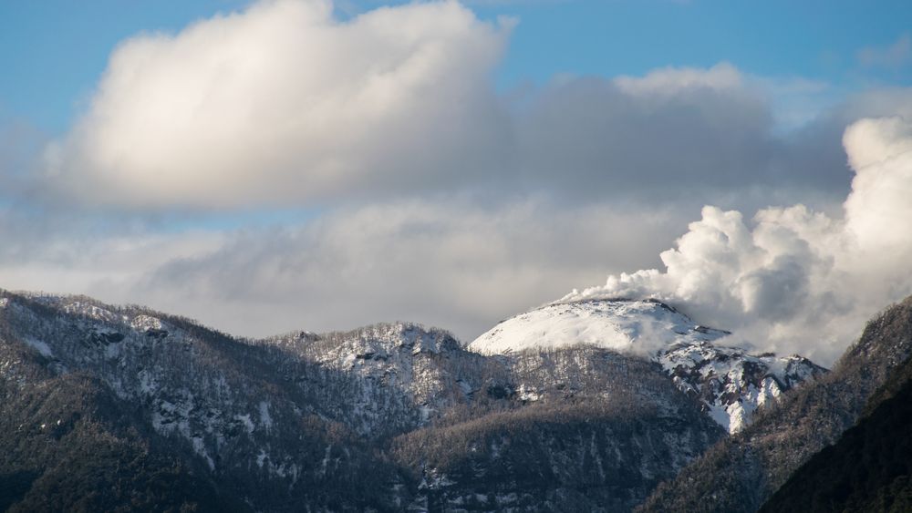
In May 2008 the volcano twelve kilometres away erupted and the Río Blanco buried half of Chaitén's streets. The town was rebuilt on the…
A spur off the Carretera Austral ends in a pocket of Andean valley near the Argentine border, at the town that shares its name with the…
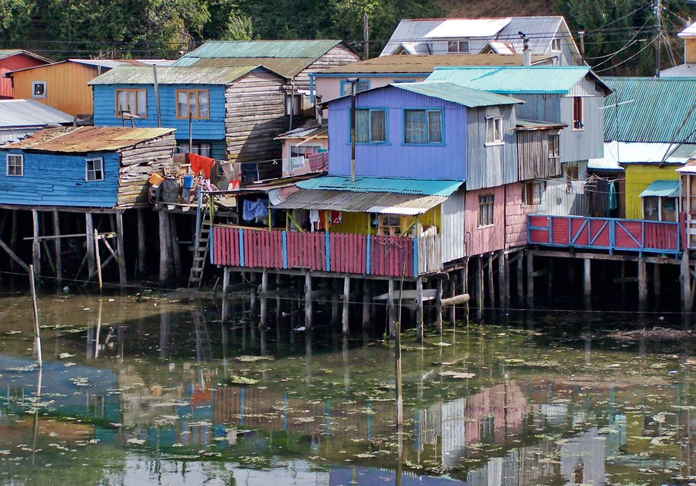
Chiloé's capital sits on a hill above a fjord, with its wooden houses on stilts standing in the tide on two sides of the town and a church…