Things to do
8-
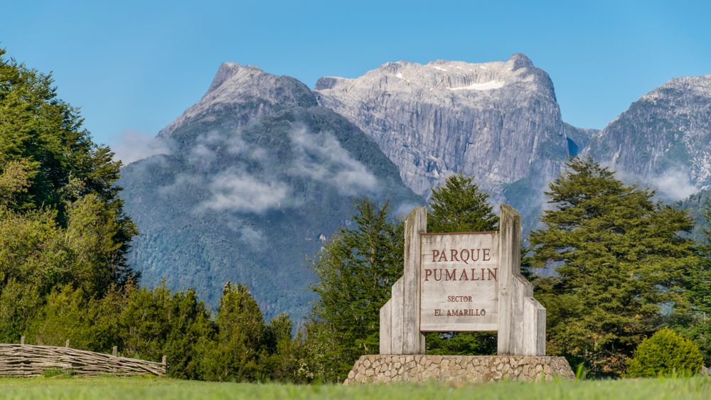
Pumalín Douglas Tompkins National Park
Allow the park two days from Chaitén: the volcano crater on the clear one, the alerce and waterfall walks on the wet one, all reached straight off the Carretera Austral.
View more → -
Caleta Gonzalo
The fjord head where the ferry from the north lands, and the top gate of Pumalín, with a ranger post, cabins and a café set back under the forest. Sailings run to a fixed daily timetable in summer and thin out afterwards, and the road onward north of here is broken by two ferry legs.
-
Cascadas Escondidas
A trail climbs from the park campground through fern and nalca to a set of waterfalls dropping out of the forest, the last of them seen from a platform bolted onto the rock. Ladders and boardwalk carry the steep sections, it runs about two hours return, and the rock stays wet all year.
-
Playa Santa Bárbara
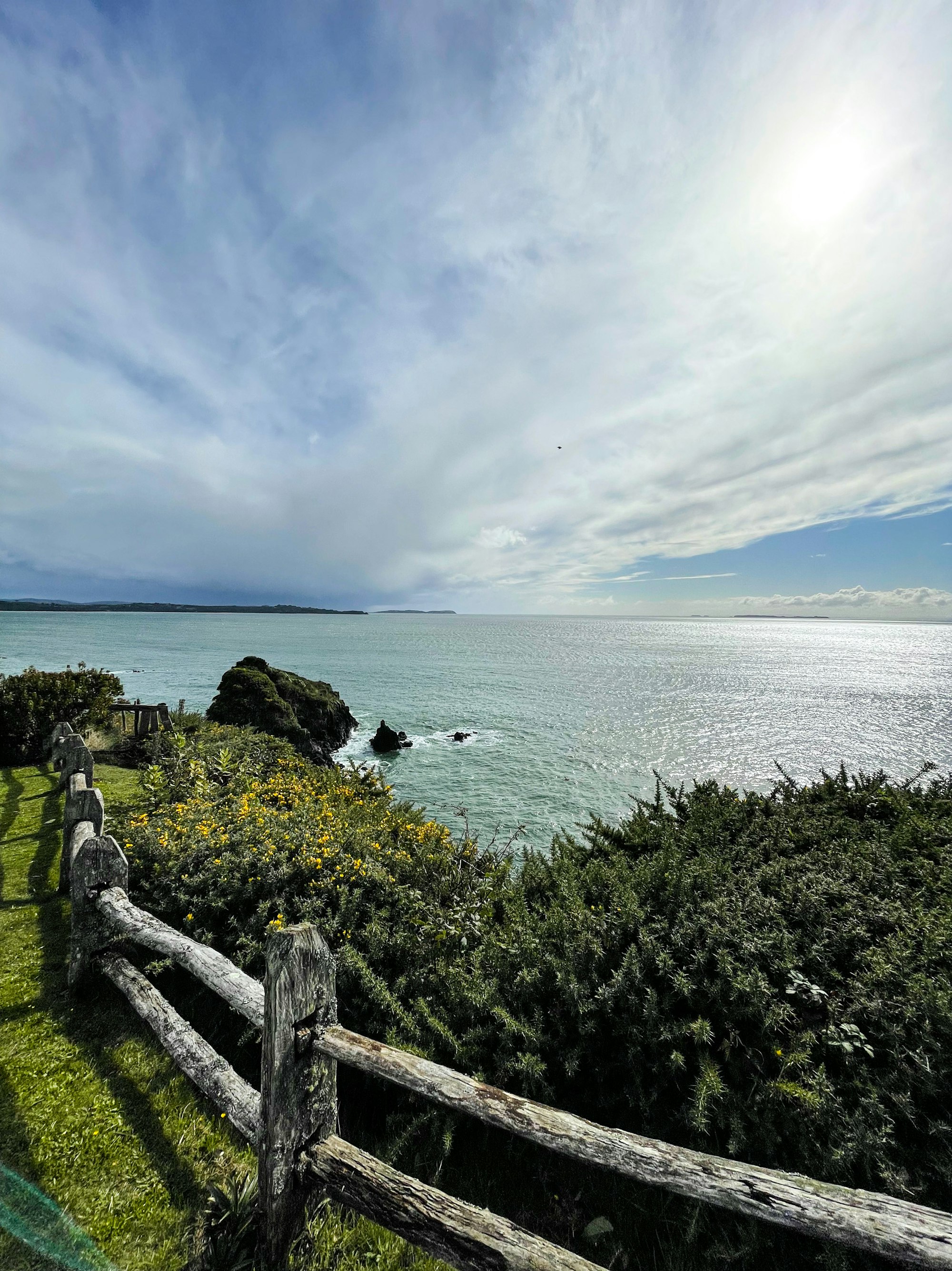
A long dark sand beach north of the town, backed by forest and open to the Gulf of Corcovado, with the Chiloé skyline across the water on a clear evening. The access road is a short gravel spur, the water is cold enough that wading is the limit, and the light at dusk is the reason to go.
-
Sendero Alerces
A short boardwalk loop off the Carretera Austral through a stand of alerce, the Patagonian cypress that grows slowly enough for single trees to pass three thousand years. The walk takes under an hour, and the deck is there to keep boots off the shallow root plates, which is part of why this stand survived.
-
Termas El Amarillo
Hot pools in the forest above the hamlet of El Amarillo, reached by a gravel spur off the Carretera Austral south of Chaitén. The setting is plain wooden decks and steam under southern beech, it opens daily through the summer, and the last stretch of road turns rough after rain.
-
Volcán Chaitén
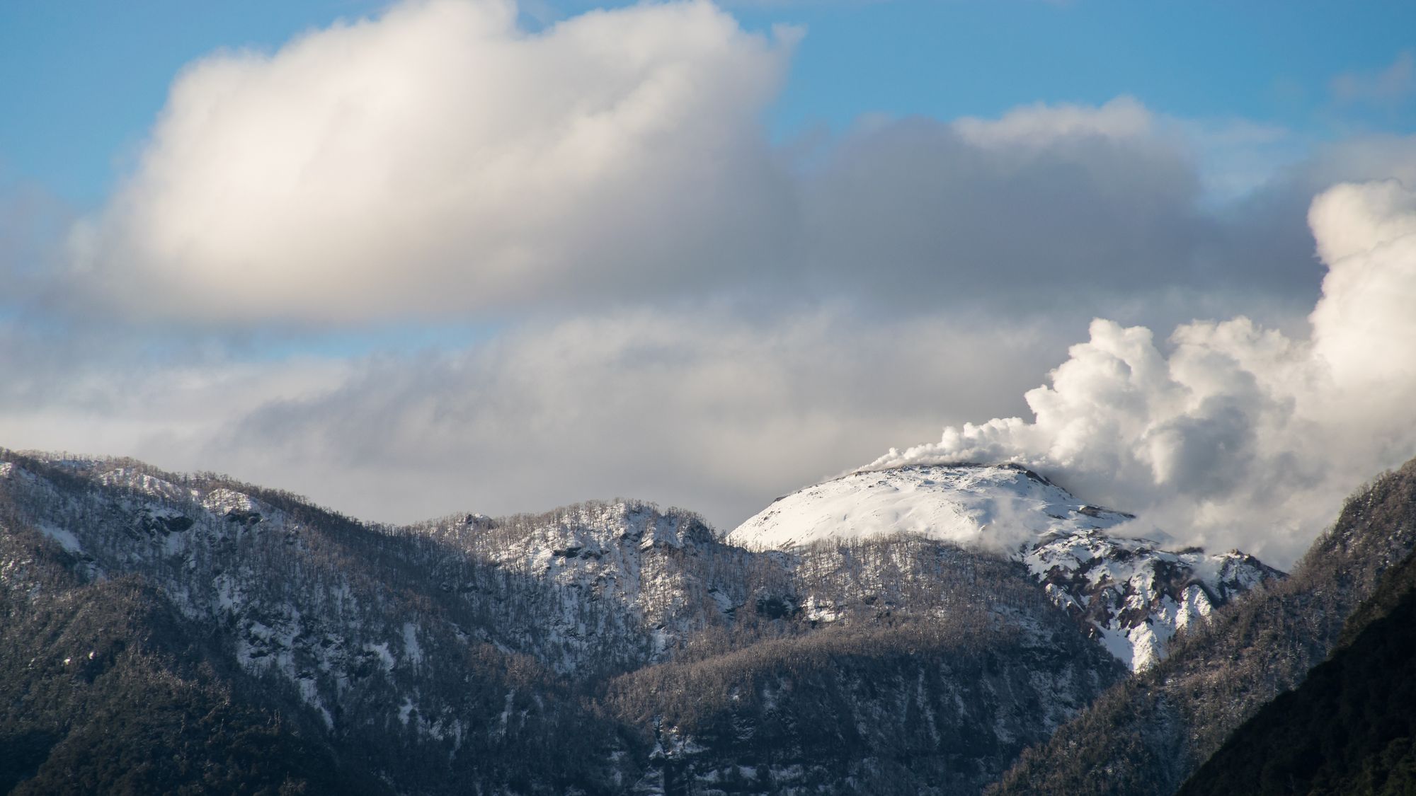
The volcano woke in May 2008 after some nine thousand years, dropped ash across Argentina and forced the town below to be evacuated. A steep marked trail climbs through the standing dead forest to a platform on the crater rim in about two hours, and the dome inside still steams.
-
Volcán Michinmavida
A glaciated cone of about 2,400 metres east of Chaitén, higher than its neighbour and the one that did not erupt in 2008. It shows best from the Carretera Austral around El Amarillo, and any ascent is a roped mountaineering trip on glacier, not a walk from the road.