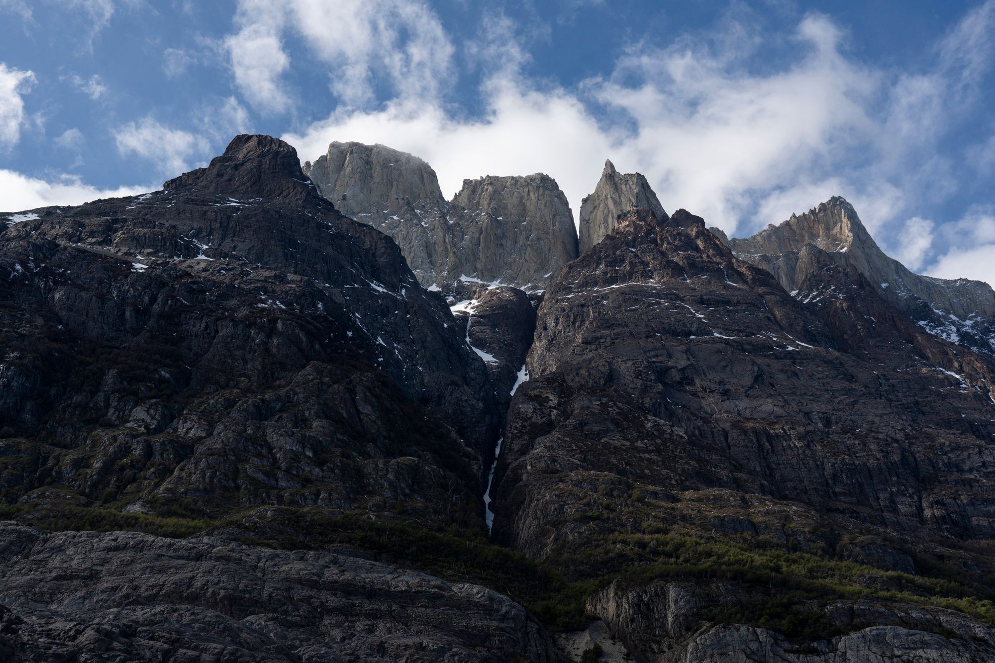
10.1 km from the Welcome Center to the towers
Puerto Natales is the base. Laguna Amarga, the park entrance for this walk, is 129 km and a little under two hours away by road. In the 2026-27 season there are morning and midday buses, and the early one arrives at about 9am. A 7 km walk or a private transfer then reaches the trailhead.
Under the park's 2026 timetable, entry to the Base Torres trail closes at 9am and walkers must be off the trail by 3pm. The park sets these times season by season, and earlier seasons ran later cut-offs month by month.
For 2026, an accredited guide is compulsory on the Base Torres trail and the W circuit from 27 April to 15 September. Outside that period the walk can be done independently.
Entry tickets for Torres del Paine are sold online on Pases Parques, the national parks booking site, and must be bought at least 24 hours before the day of entry.
A round trip takes about eight hours, so the hike fills the whole day. The hardest stretch is the final 1 to 1.5 km of rocky glacial moraine below the lake, the steepest part of the route.
Low cloud is what hides the towers. A grey day with only high cloud still leaves them clearly visible from the lake, so the forecast for low cloud is the one that matters.
If low cloud is forecast, move this walk to your spare day. Rain and high overcast still leave the towers in plain view; low cloud hides them.
Route from OpenStreetMap, routed over the park's mapped trail from the Welcome Center to the viewpoint, and drawn one way: you walk back down the same trail. Expect 20 to 22 km round trip, depending on where you start.
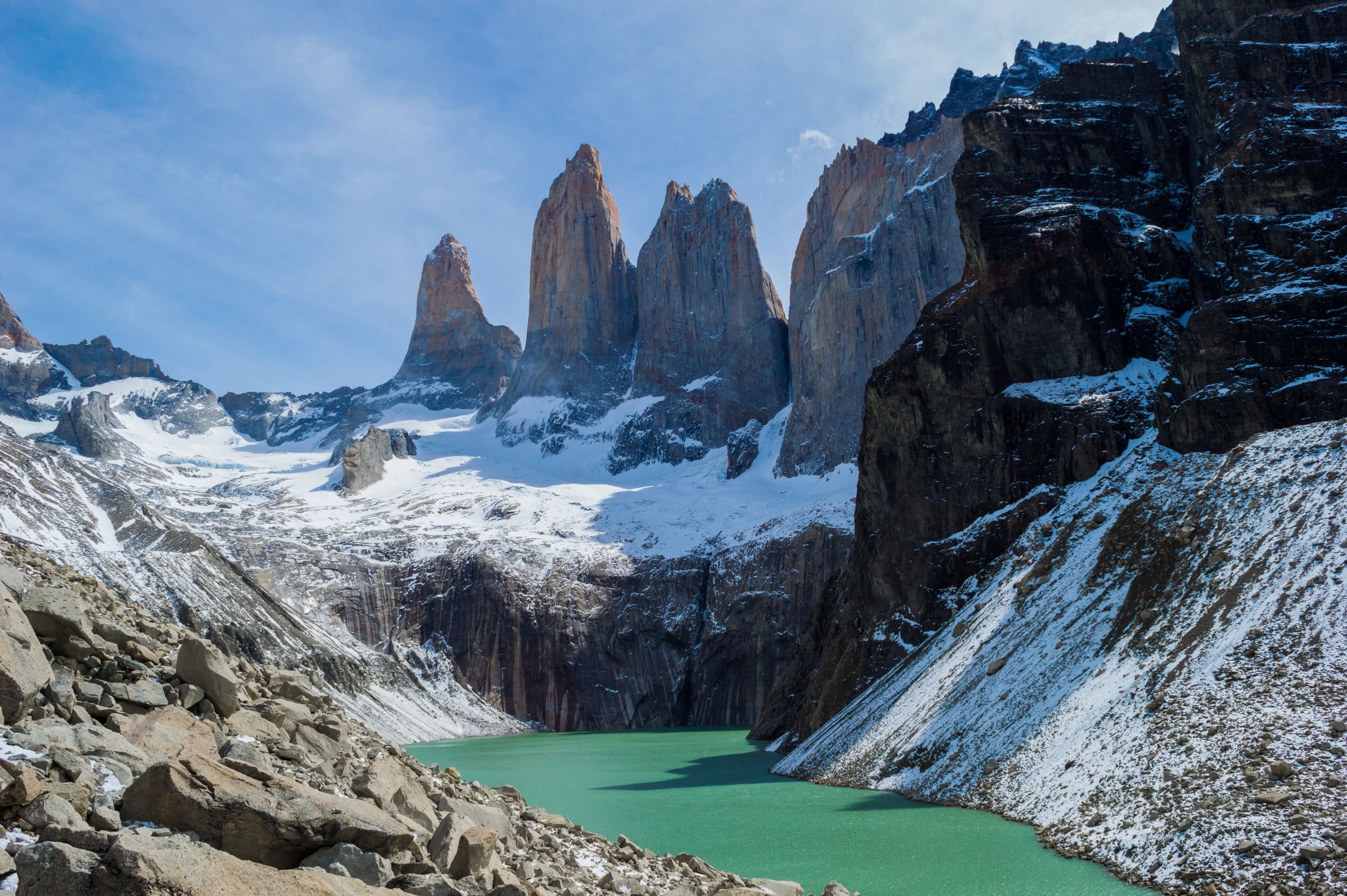
The towers stay hidden almost to the end. The trail climbs the Ascencio valley with its walls in the way, and the last hour is a slope of loose boulders with nothing ahead but rock and sky. At the top of the moraine the ground falls away to a small glacial lake, and the three granite towers stand straight above it.
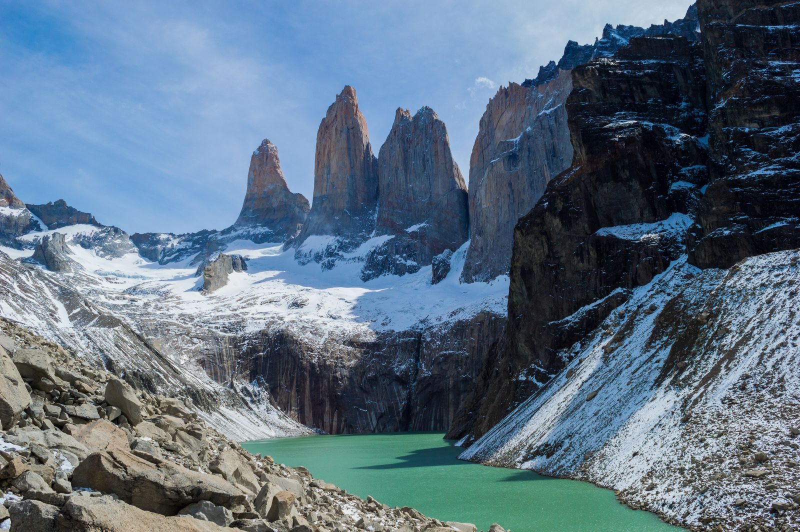
From left to right they are Torre Sur, Torre Central and Torre Norte. Torre Central's face is 1,600 metres of unbroken granite, first climbed in 1963, and the wall still draws climbers.
The lake is open turquoise water in summer and frozen in winter. A short walk down to the shore opens other viewpoints around the water, and each one sets the towers at a different angle.
At sunrise the first warm light catches the tops of the towers and works down the rock. Expect company at the lake before dawn, even out of season.
Mountain path almost all the way, with footbridges over the Ascencio and its side streams. The first two hours climb open slopes to Paso del Viento, where the wind hits hardest, and the path then drops to Refugio Chileno.
Above Chileno it climbs gently through lenga beech forest beside the river. Where the trees end, the last kilometre climbs steeply over boulder moraine with no shade, about 280 m of climb. The Torres del Paine W Trek, walked in its classic direction, ends at these towers, and this day hike is the same final climb with no overnight stay to book.
The W Trek, which ends at the towers, the town you set out from, and the rest of Chile
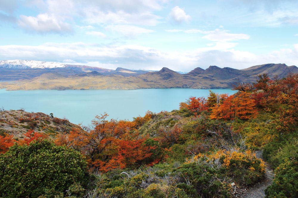
Grey Glacier, the French Valley and the towers on one walk, with a night at Chileno for sunrise at the lake.
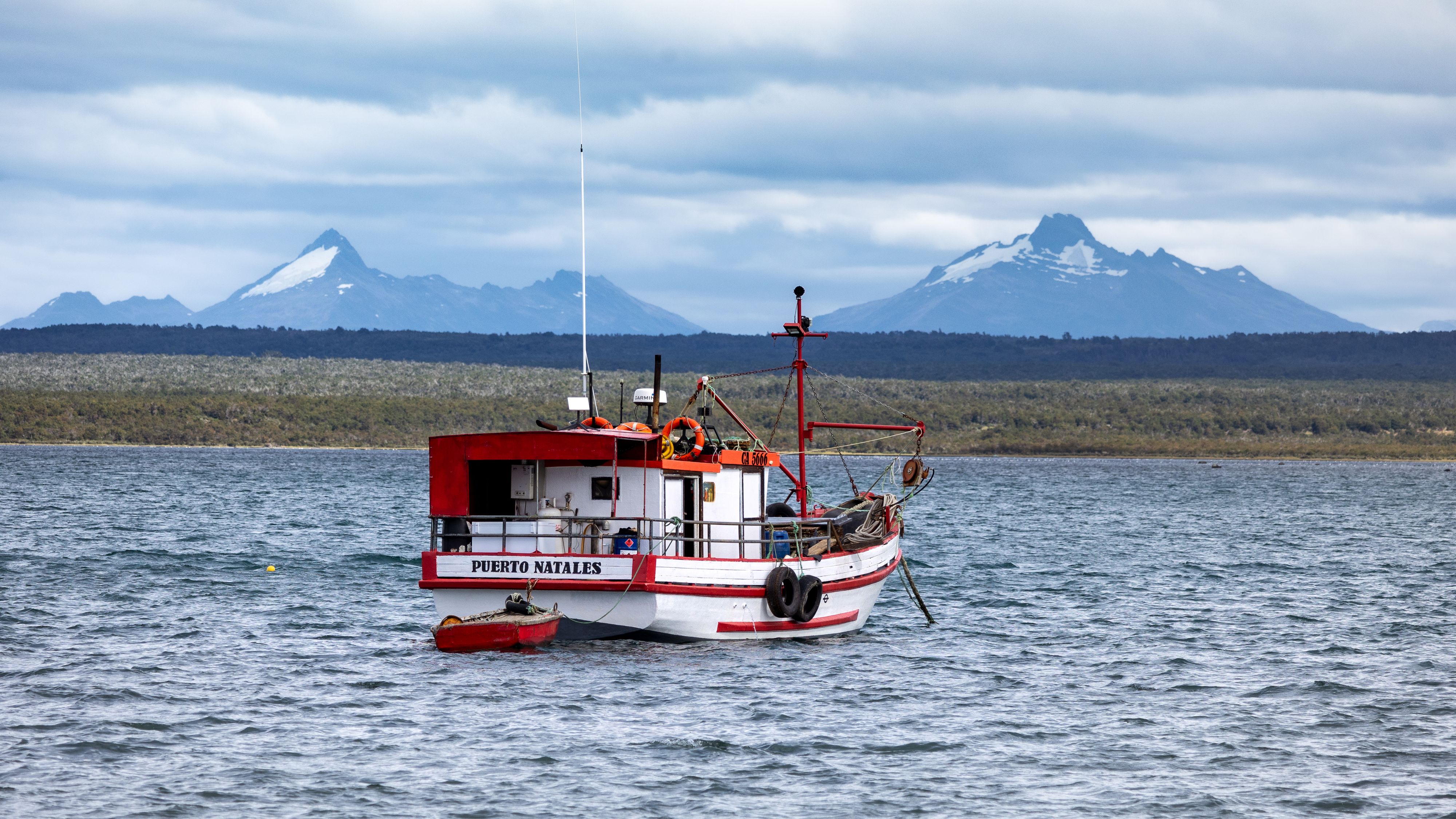
The staging town on Última Esperanza Sound, where the buses to the park leave each morning.
From the Atacama to Patagonia: where to fly in, how to get around and the places worth the trip.
The official pages this guide was checked against.
Last updated