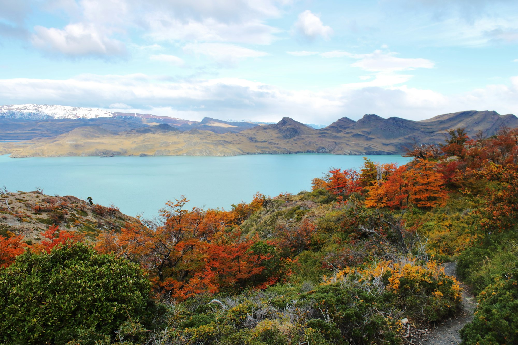
73.6 km from Paine Grande to the Welcome Center
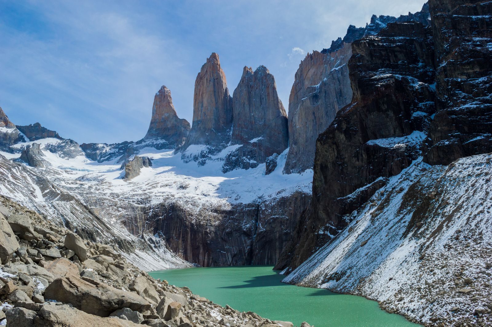
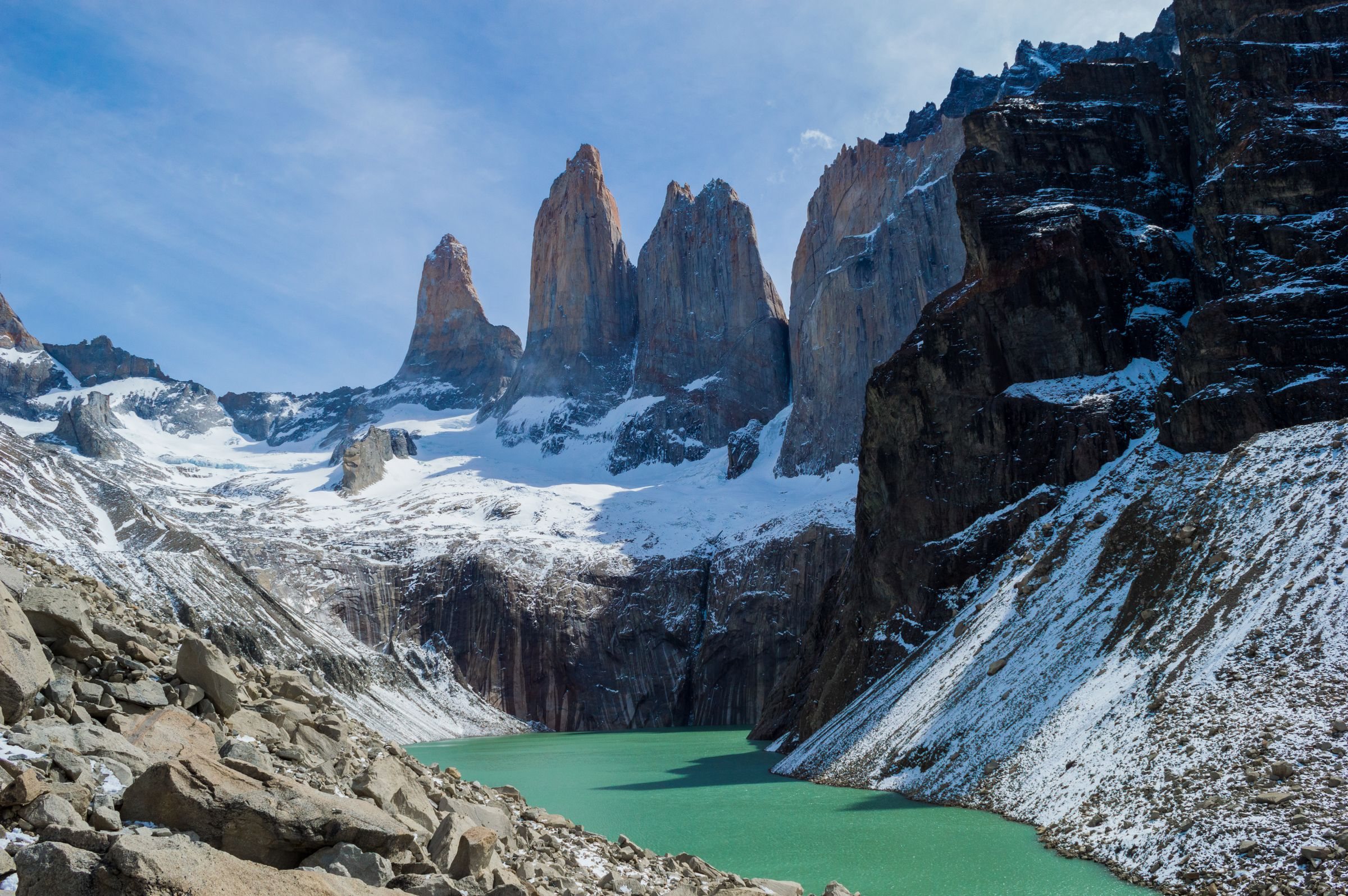
At sunrise on the last morning, after a night at Chileno, the towers arrive at the end of the walk, with Grey's ice and the French Valley already behind you. Book that night first.
Route from OpenStreetMap, routed over the park's mapped trails from the Paine Grande landing to the Welcome Center. Totals of 80 km and more are also published for the W, counted from other starts and with other side trips. Heights are from a 30 m terrain model, smoothed: read the chart as a shape, not a survey. The three legs are walked out and back, so the line doubles over itself.
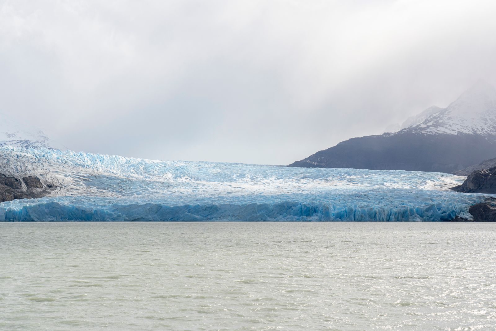
The name is the shape the route draws along the south side of the Paine massif: three arms walked up and back, joined by the trail along the lakes. Each arm ends somewhere different. The first reaches the ice front of Grey Glacier, the second climbs the French Valley to Mirador Británico inside a ring of granite, and the last ends under the three towers above their lake.
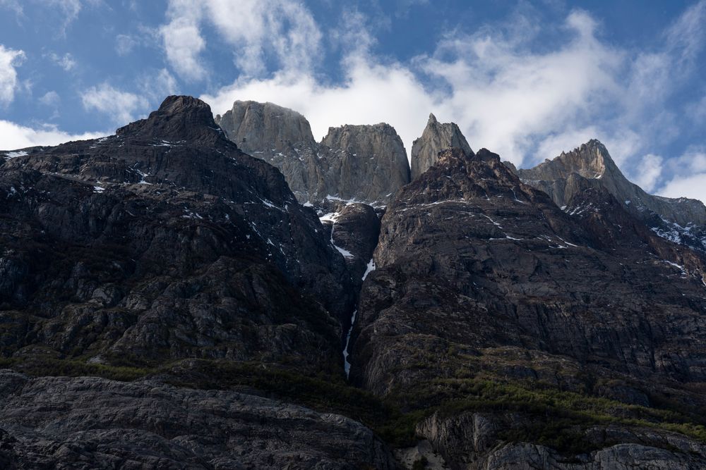
The French Valley is one of the highlights of the W. From the junction at the closed Italiano campsite, the climb to Mirador Británico and back takes five or six hours, so start it early and leave the heavy pack below if the staff will hold it.
Plan for the weather rather than the distances: sun, rain, snow and winds of 100 km/h can all come through in one day, even in summer, so carry layers for all of them on every stage.
Mountain path from end to end, with footbridges over the rivers and no road until the Welcome Center. The steepest ground is the last morning to the towers, which gains 300 m in little over a kilometre.
The towers in a day, the town you set out from, and the rest of Chile
The last leg of the W walked on its own as a day hike, with no refugio booking. Start early: the trail takes no one after 9am.
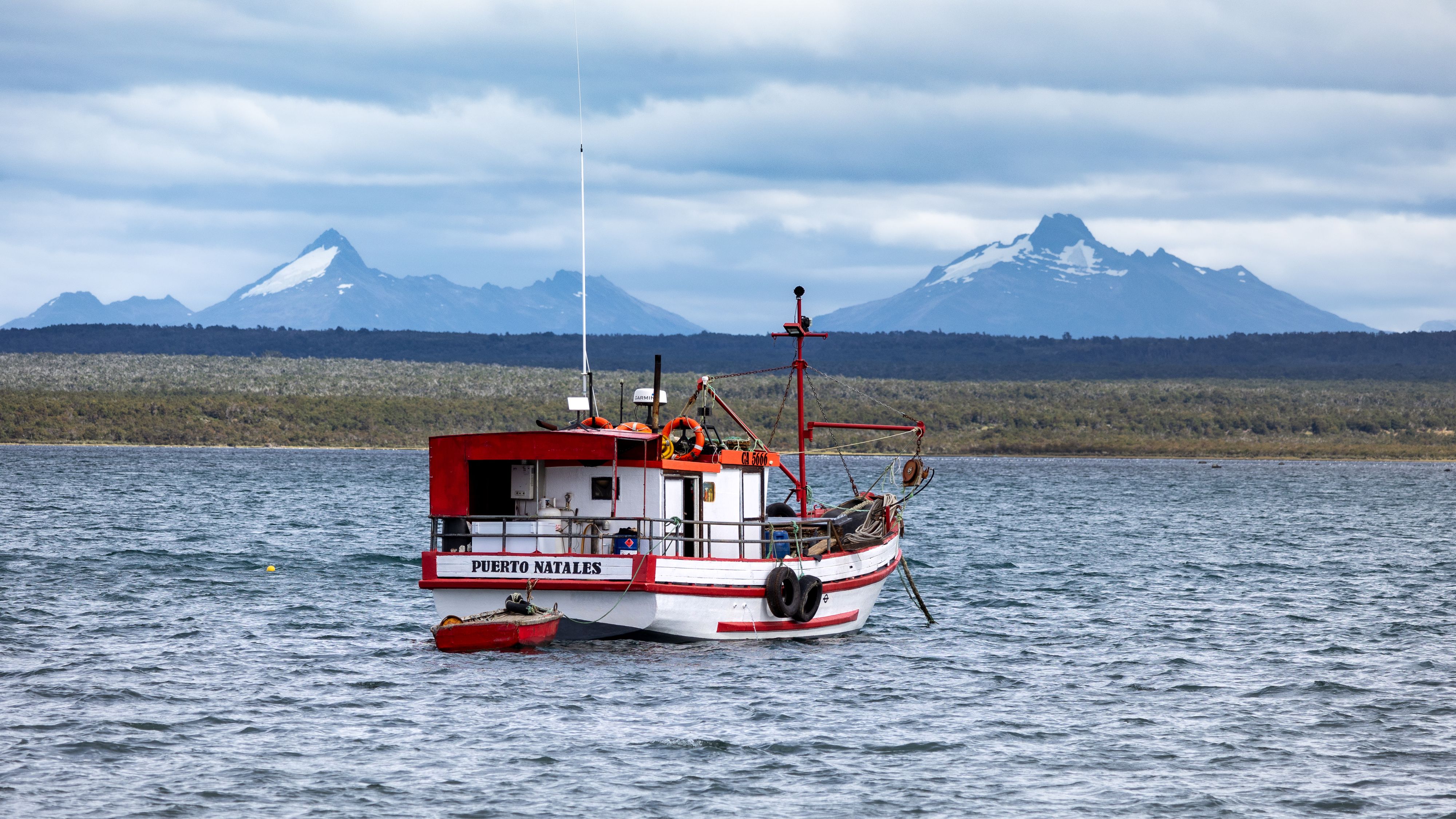
The staging town on Última Esperanza Sound, where the buses to the park leave each morning.
From the Atacama to Patagonia: where to fly in, how to get around and the places worth the trip.