Hike · Chania, Crete
Between 10 April and 31 October at most. The park sets each year's opening date in spring, once the yearly repairs to the path are finished, and the gorge stays closed through the winter.
Walkers doing the whole route, or part of it, may enter from 07:00 to 13:00 at either gate. After 13:00 entry is limited to the first two kilometres from each gate, and visitors must be out of the park by 18:00.
Yes. A ticket is mandatory, issued online through the park's official ticket site and sent by email. It can be printed or shown on a phone at the entrance and during inspections.
About 15 km: the park gives roughly 13 km of gorge path and 2 km more from the southern gate to the village. An average walk takes six to seven hours with stops.
By boat. Agia Roumeli has no road, so walkers sail to Chora Sfakion or Sougia, or further west to Paleochora, and take a bus on from there.
There is no age limit, but the park does not recommend the walk for small children because the path is long and rocky. Minors may enter only with an adult who is responsible for them throughout the visit.
Walk Samaria and you cross the White Mountains in a single day, from forest at 1,227 m down a stony riverbed to the Libyan Sea, where no road arrives and a boat carries you home.
Mapped from OpenStreetMap at 14.5 km, gate to quay. Below Samaria village the height line is evened out along the riverbed, so read the chart as the shape of the descent.
The gorge runs south through the White Mountains, and the walk follows it from the Omalos plateau to the coast. For the first seven kilometres the path zigzags down through forest, losing height fast.
At the seventh kilometre it reaches the abandoned settlement of Samaria. Its church, Osia Maria, gave the village and the gorge their name.
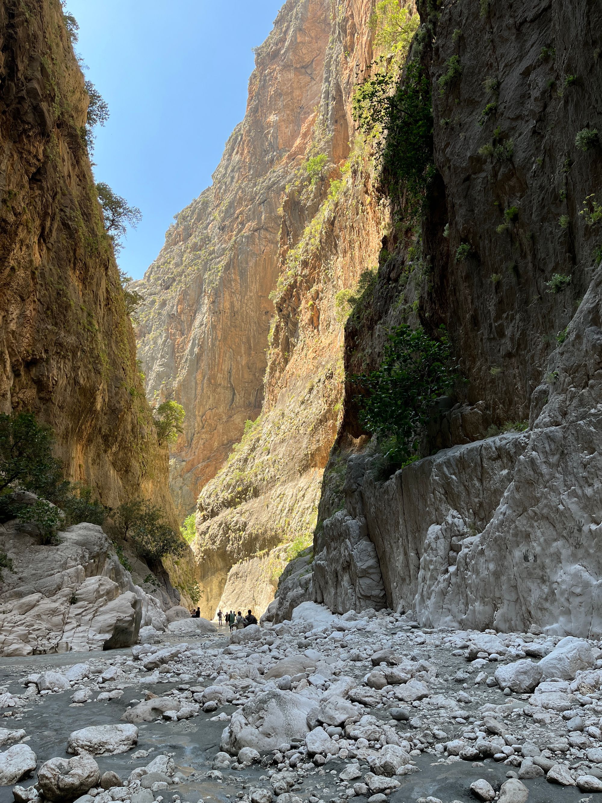
Below the village the path drops into the riverbed and turns rocky. You cross the stream on small wooden bridges or on stepping stones laid across the water, and the walls climb higher with each bend.
The Portes, or Iron Gates, come near the end and are the famous view. The walls close to a passage about four metres wide and rise almost 300 metres overhead. Watch the slopes, too, for the kri-kri, the Cretan wild goat, which the gorge shelters.
Past the southern gate a lane leads through the old village of Agia Roumeli to the new one on the beach. It has tavernas, rooms, a clinic and the ferry quay, and no road out.
The first seven kilometres lose most of the height, so the hard work falls on your knees rather than your lungs. Take the descent slowly: the riverbed still needs fresh legs.
From Samaria village the path runs in the riverbed, over loose stones and boulders, with stream crossings on footbridges or stepping stones. After the southern gate a paved lane carries you the rest of the way to the quay.
The base for the walk, and the rest of western Crete
The Venetian harbour town where the bus to Omalos starts, and where it brings you back after the ferry.
The Balos lagoon, and a Venetian fortress on the islet of Imeri Gramvousa, reached by day boat from Kissamos.
A beach and islet in the far south-west of the island, for a rest day after the gorge.
The official pages this guide was checked against.
Last updated