 Submit a photo
Ninety seconds on Santorini caldera
From the rim you look down on the caldera; from a boat you are inside it, three minutes by cable car from Fira to the old port and ten minutes across to the black volcano at its centre.
Thera, the main island, curves round the eastern side of the flooded crater of the Santorini volcano. Thirasia closes it to the west, the small islet of Aspronisi sits in the gap between them, and Palea and Nea Kameni rise in the middle.
The bowl took its shape around 1630 BC, when the Minoan eruption emptied the chamber beneath the island and the ground above collapsed into it. The cliff faces below the villages show the island's making in bands: thick layers of ash from the great eruptions, with harder volcanic rock between.
Palea and Nea Kameni are what islanders mean by the volcano. They are young ground, built by eruptions inside the crater. The black rock you walk on at the Erinia landing on Nea Kameni came out in 1570, 1940 and 1950, and from the top you look into two large craters.
Thirasia, across the water from Oia, has no large resort villages. Its main village, Manolas, is built on the rim and looks back at the whole crescent of white villages.
Start on the rim in Fira, where the crater is the view from every terrace. The cliff path runs north from Fira through Firostefani and Imerovigli to Oia, about 10 km of paved lanes and dirt track; allow three to five hours and carry water.
From Fira, ride the cable car to the old port, or walk the stepped path, which the mule trains share. Boats for the volcano leave from the port.
The boat lands at Erinia cove on Nea Kameni, where a separate entrance fee is charged; ask the boat operator whether your ticket includes it. Cairns mark the path up to the craters.
On the shortest trip the boat waits about an hour and a quarter at Erinia while you walk, then takes you back to the port. Longer trips often add a swim at the warm springs of Agios Nikolaos off Palea Kameni and a stop on Thirasia; itineraries vary by operator.
To reach Thirasia without a full cruise, take one of the small boats from Ammoudi, the harbour at the foot of Oia, for a crossing of about 20 minutes. Boats that tie up at Korfos leave you at the foot of 270 steps up to Manolas.
On Nea Kameni, wear closed shoes with grip, because the rock is sharp and gives way underfoot. Leave every stone where it lies: the island is a protected geological park, and a sign at the start says so in red letters.
Explore the rest of Oia
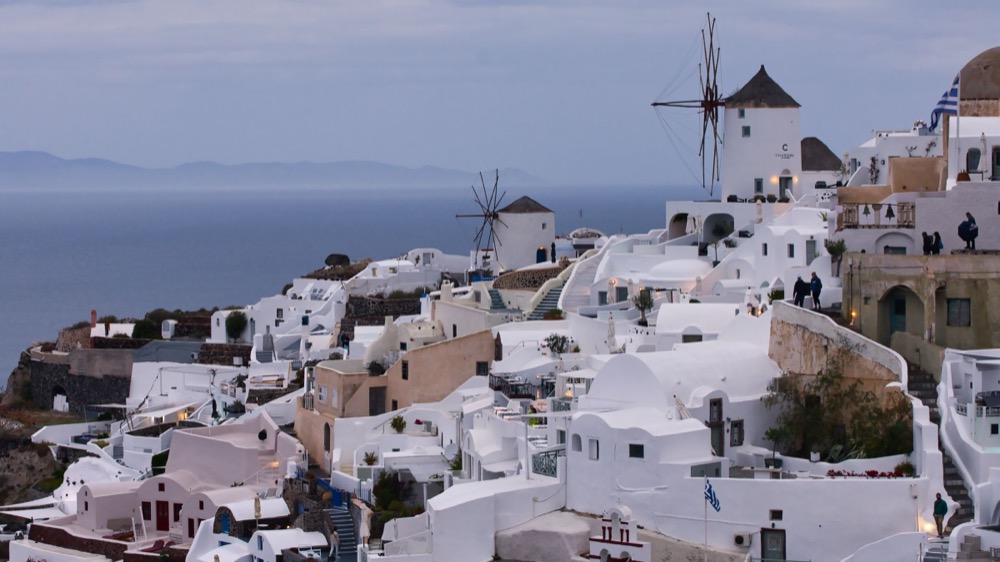
Oia sits on the northern tip of Santorini's crater rim, three hundred metres above a drowned volcano, its cave houses dug into the cliff…
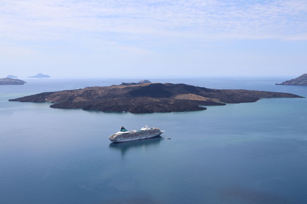
The black lava island at the centre of the caldera is the volcano's active vent, built up by eruptions since the sixteenth century, the…
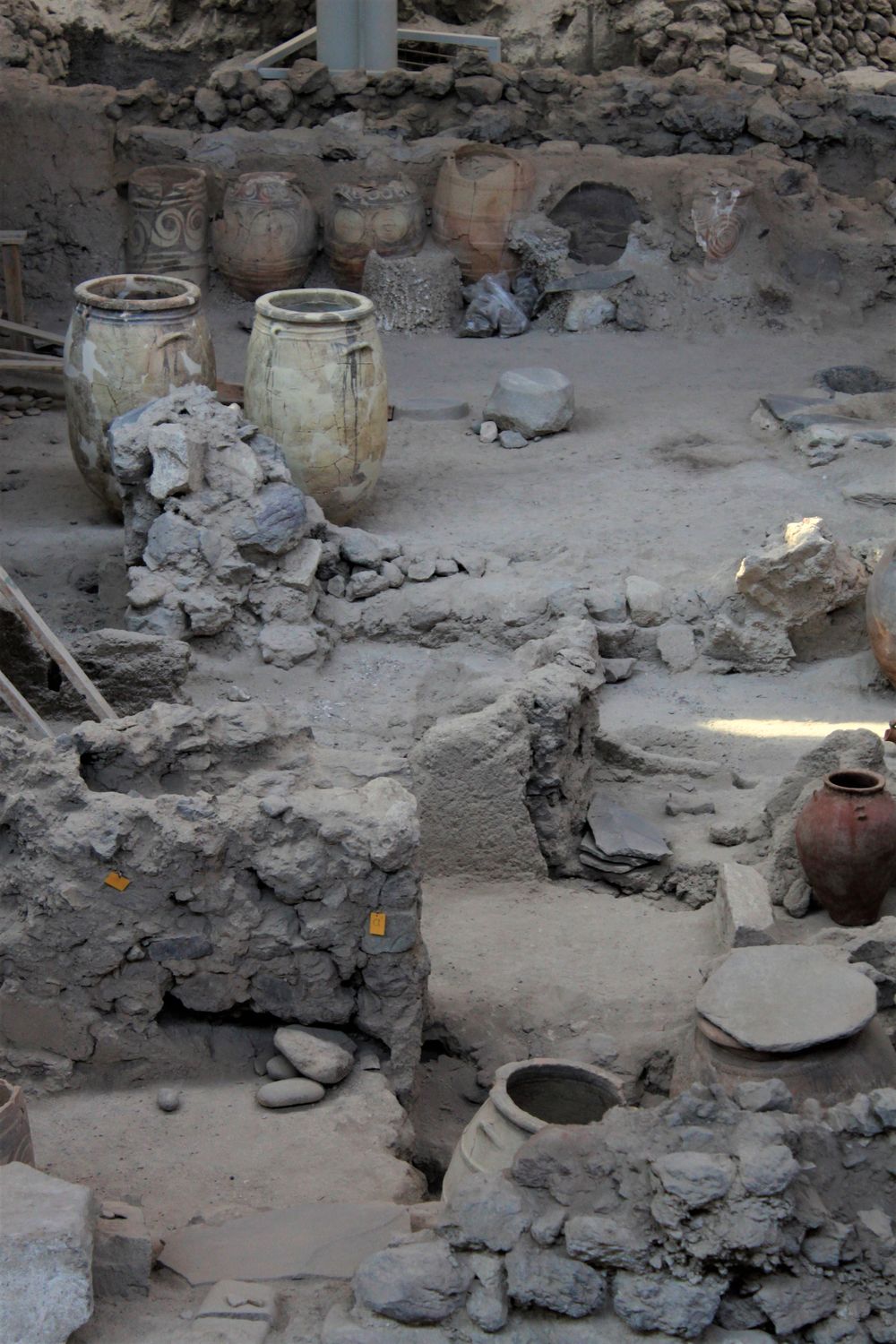
A Bronze Age port town buried in ash when the island erupted some 3,600 years ago, and preserved to the second storey: streets, stairs,…
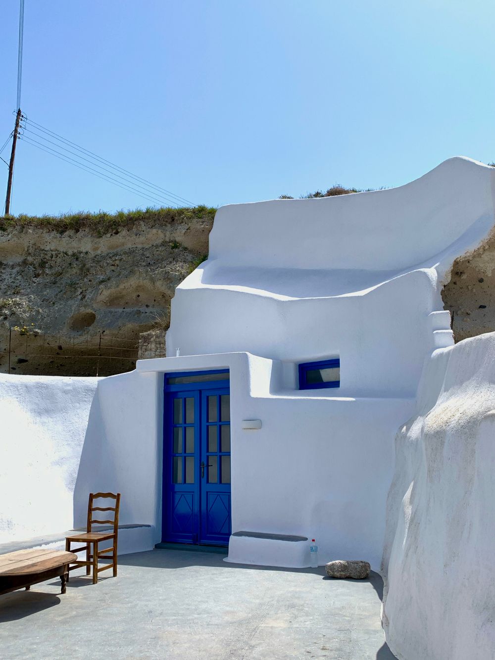
A wine village in the south of the island, its lanes passing between old canavas, the vaulted wine cellars. Around it, vines grow low in…
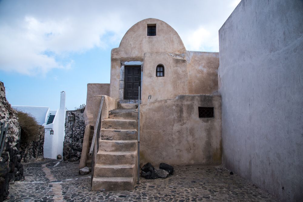
The island's former capital, an inland hill village wound in rings around the ruin of a Venetian castle, with blue-domed churches at every…
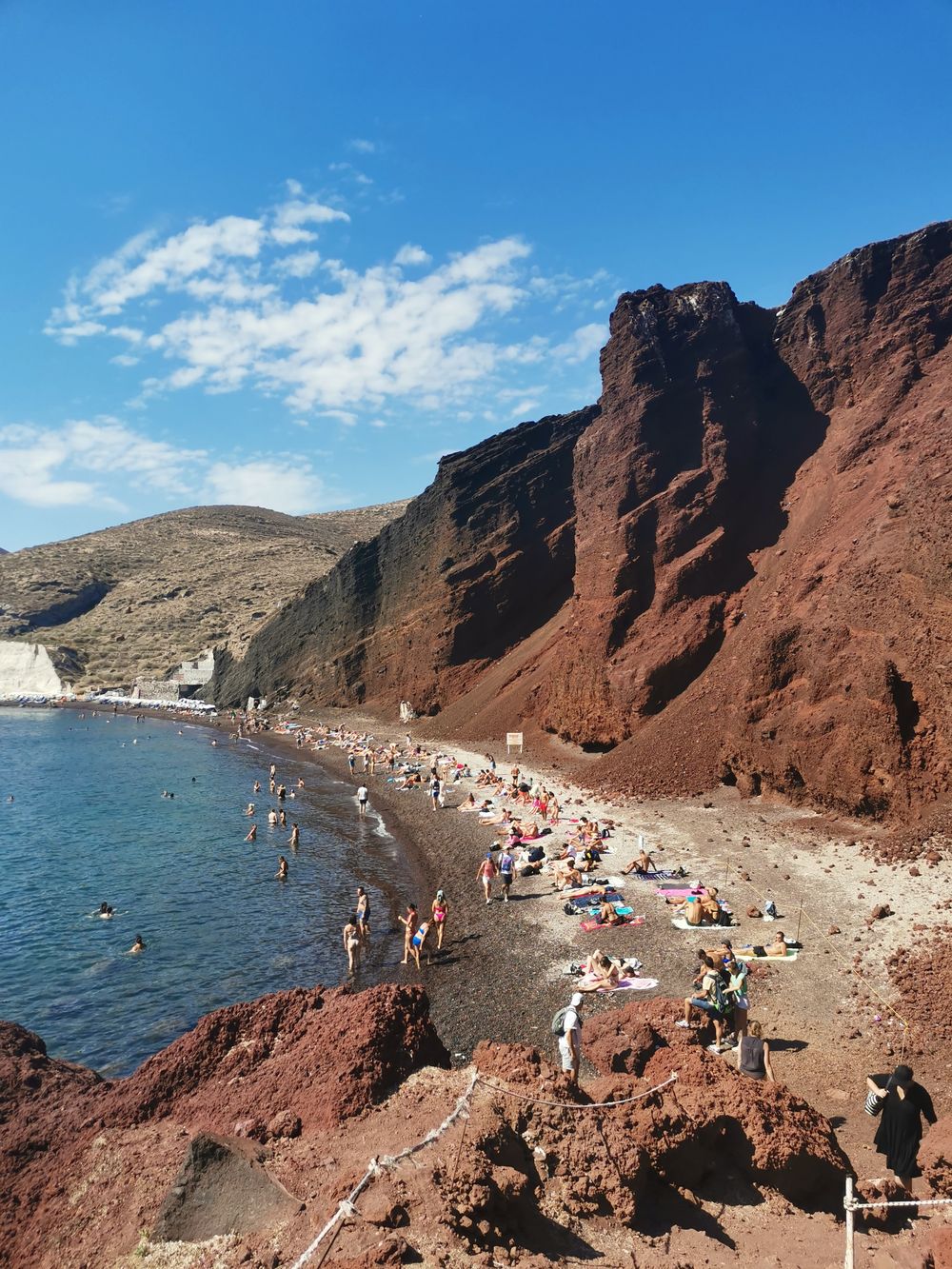
Red Beach is a small cove under red volcanic cliffs south of Akrotiri. The beach itself is officially closed to pedestrians because the…
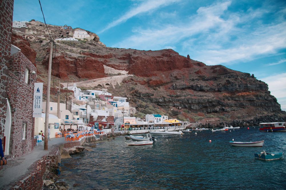
Ammoudi Bay is the small fishing port at the foot of Oia's cliff, with waterfront tavernas and a rocky swimming spot at Armeni, a few…
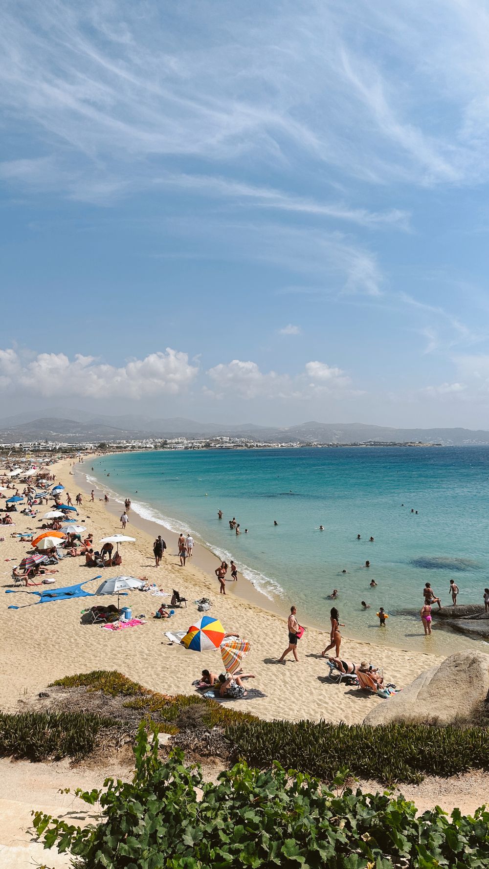
A long arc of golden sand on the west coast just south of the main town, with clear, shallow water and a strip of small hotels and tavernas…
The official pages this guide was checked against.
Last updated