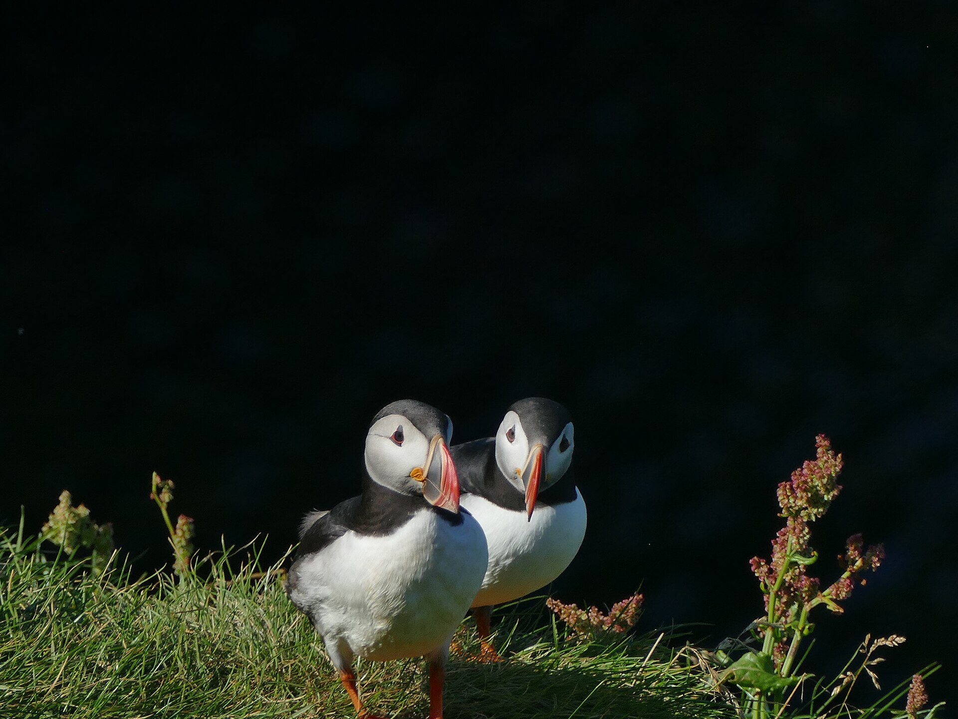
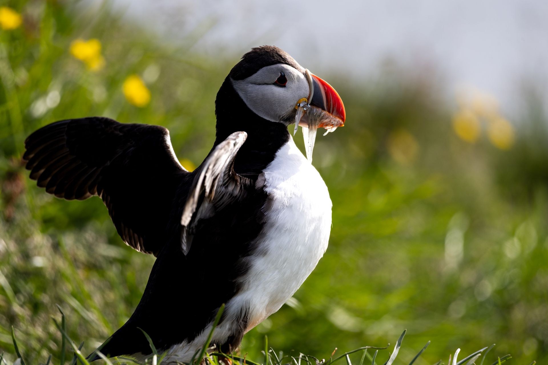
On a still July evening the slope above Stórhöfði fills up. Birds come in off the water in long low arcs, twenty and thirty at a time, and put down on the turf close enough that the sandeels hanging crossways in their beaks can be counted. The ground underfoot is dug through with burrows, so the birds walk out of the hill and back into it a few paces from where anyone is sitting. Nobody needs to whisper. The wind takes the sound anyway.
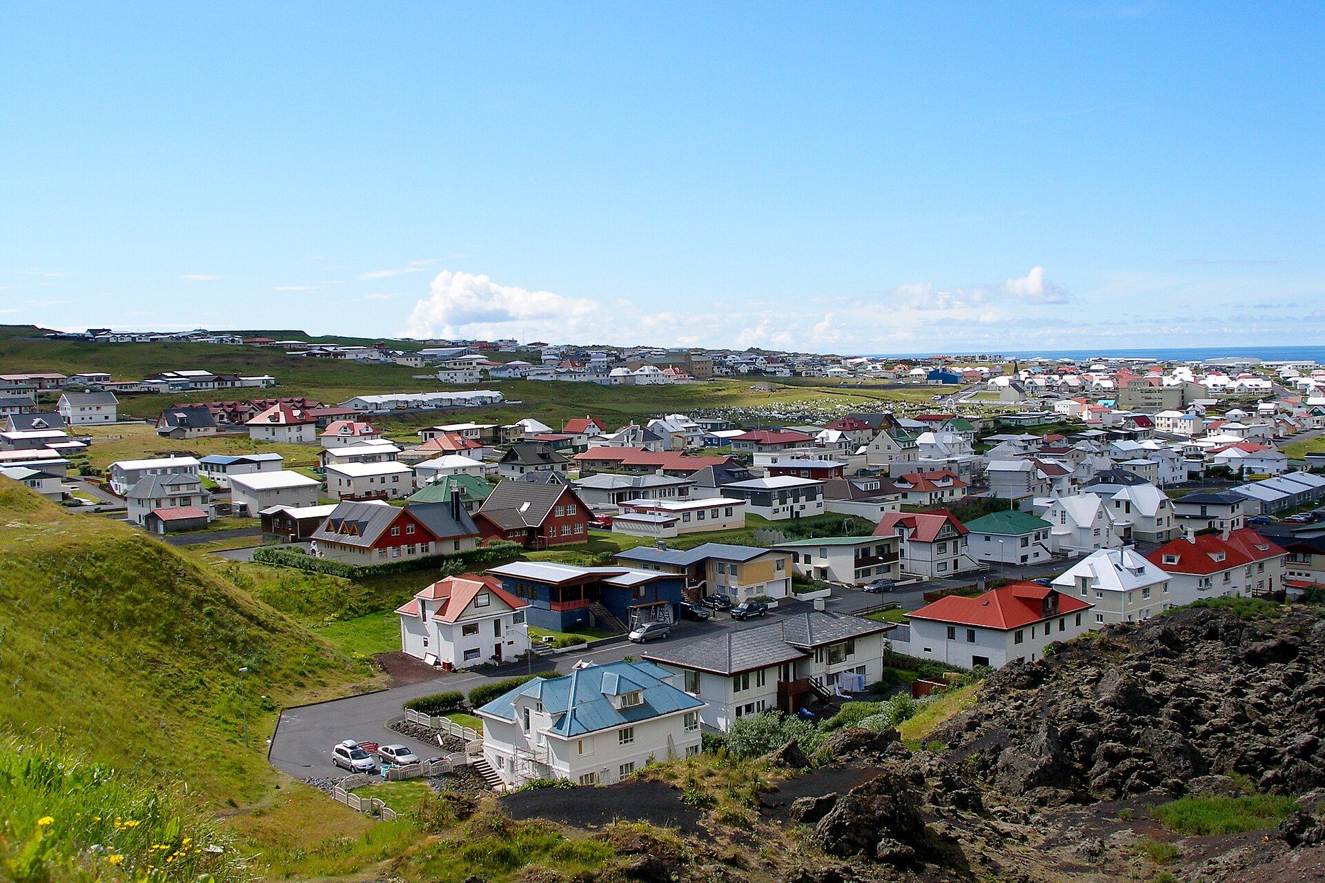
The Westman Islands hold the largest gathering of Atlantic puffins on earth. The last full census of the archipelago, flown in 2010, counted about 830,000 breeding pairs across the islands, somewhere near two fifths of all the puffins in Iceland. Heimaey is the one inhabited island in the archipelago, so the colony there comes with a harbour, a road out to the slope and a bed for the night.
The hour of the day matters more than the month, and it is where day trips go wrong. Adults are out fishing through the middle of the day, and the slope can look deserted at two in the afternoon in high season. Early until late morning, and from early evening until dusk, are when the burrows are busy. The standard timetable, out on the first ferry and back in the afternoon, lands you at the colony in exactly the dead hours. An overnight, or a late return sailing, is what buys you the evening.
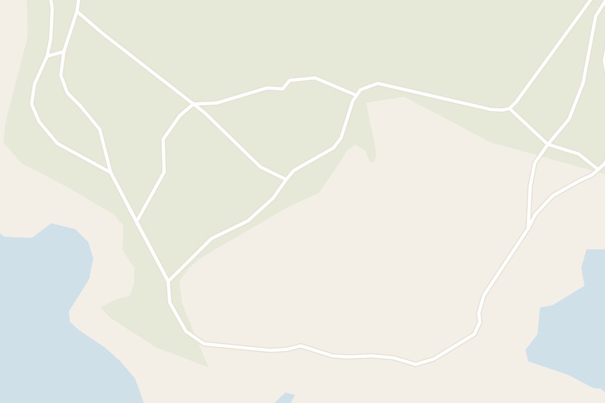
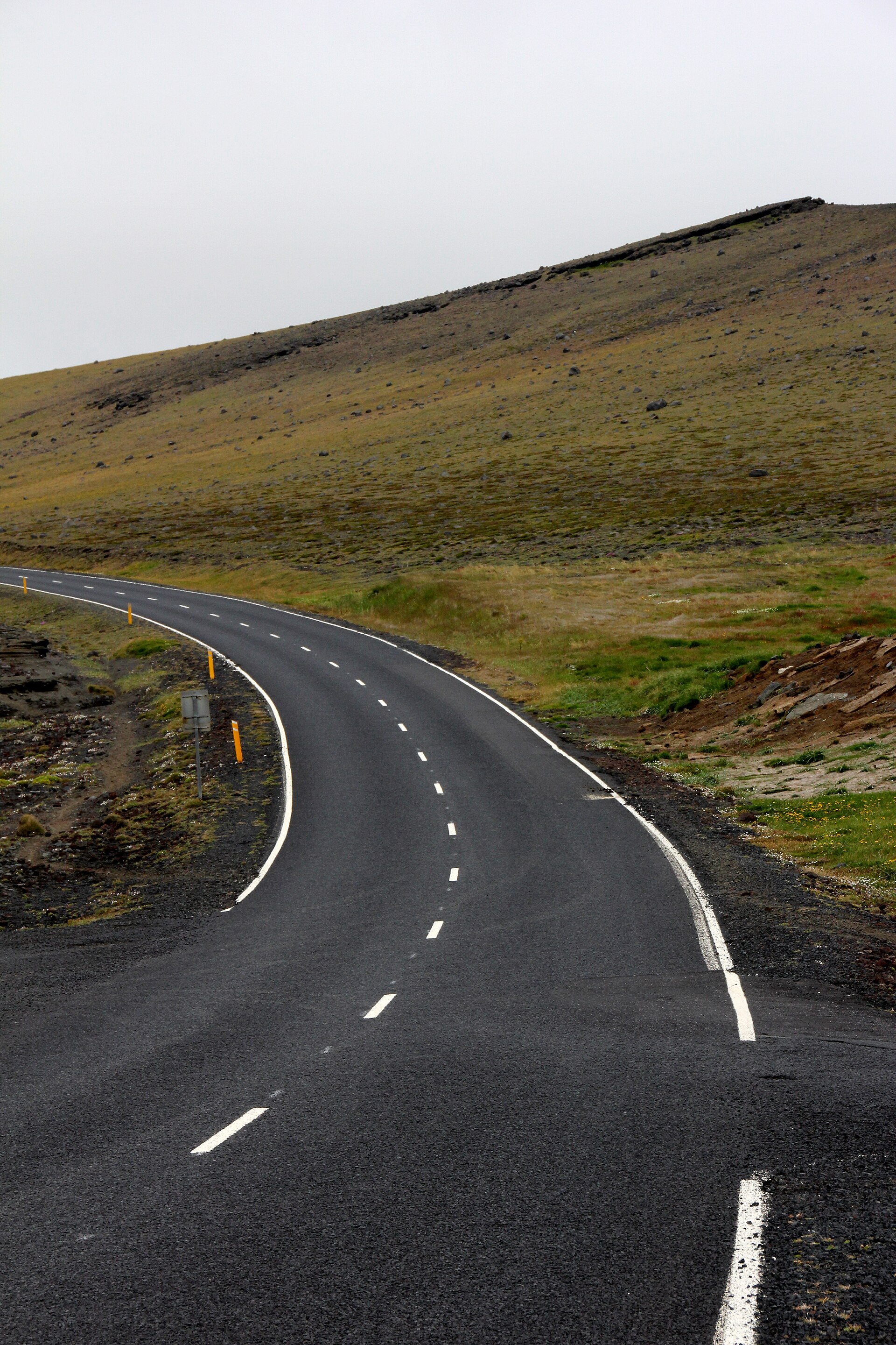
Stórhöfði, the southern headland, is about six to seven kilometres from town, an hour to ninety minutes on foot with the climb at the end, so the round trip costs you most of a half day before you have watched a bird.
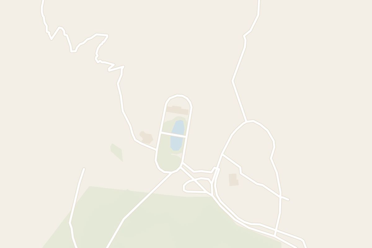
An hourly hop-on hop-off bus runs a circuit through the middle of the day, and it will leave you at the lookout for a full hour. An electric bike from the rental in town takes the climb out of the ride and leaves the hour of the visit to you, which the midday bus does not. With a whole day you can take the coastal track instead. It runs about five kilometres from Herjólfsdalur, the crater valley on the edge of town, to the beach at Klauf, then another three and a half kilometres around the headland itself. Allow four to five hours for the loop, which has cliffs and birds for most of its length.
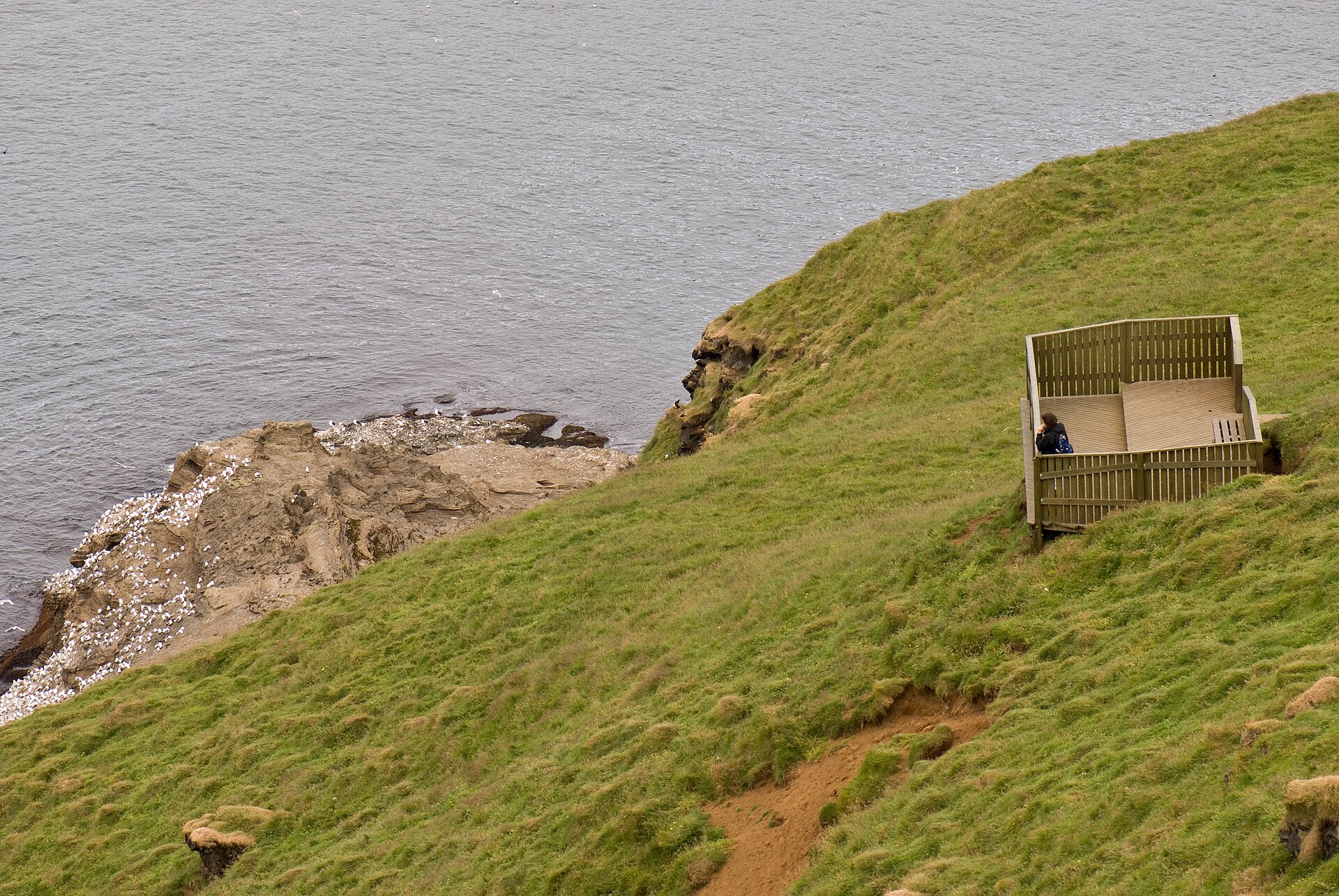
The hut at the top is genuinely useful when the wind is up, and it charges a small fee, but walking quietly on the slope outside it puts you closer. Approach from downwind and the birds hold their ground rather than dropping off the edge. Herjólfsdalur, the crater valley much nearer town, is the quieter alternative and costs no bus fare at all.
Two cautions apply everywhere on the island. A burrow roof will collapse under a boot, so stay off the honeycombed ground and back from the cliff edges, where the soil is loose. And arctic terns nesting nearby in June and July will go for your head if you walk through them.
Wind is the thing that spoils visits here. Stórhöfði has been a weather station since 1921 and is routinely described as the windiest place in Europe, a claim worth treating as local shorthand, since no single measurement establishes it, though the gusts recorded there are real enough. Anything under about ten metres a second is comfortable walking. The forecast at vedur.is is worth reading before you commit to the walk out.
The season splits in two: the adults through the summer, the fledglings at the end of it. Puffins are ashore at the burrows from roughly the middle of May, are at their most active through June and July while they are running food to chicks, and begin to thin out in the second half of August. By September the slopes are usually empty of adults. The pysjur season then runs from late July into early September, and its start swings by about three weeks with the food supply: the first chick was found on 27 July in 2024, on 29 July in 2025 and on 8 August in 2026.
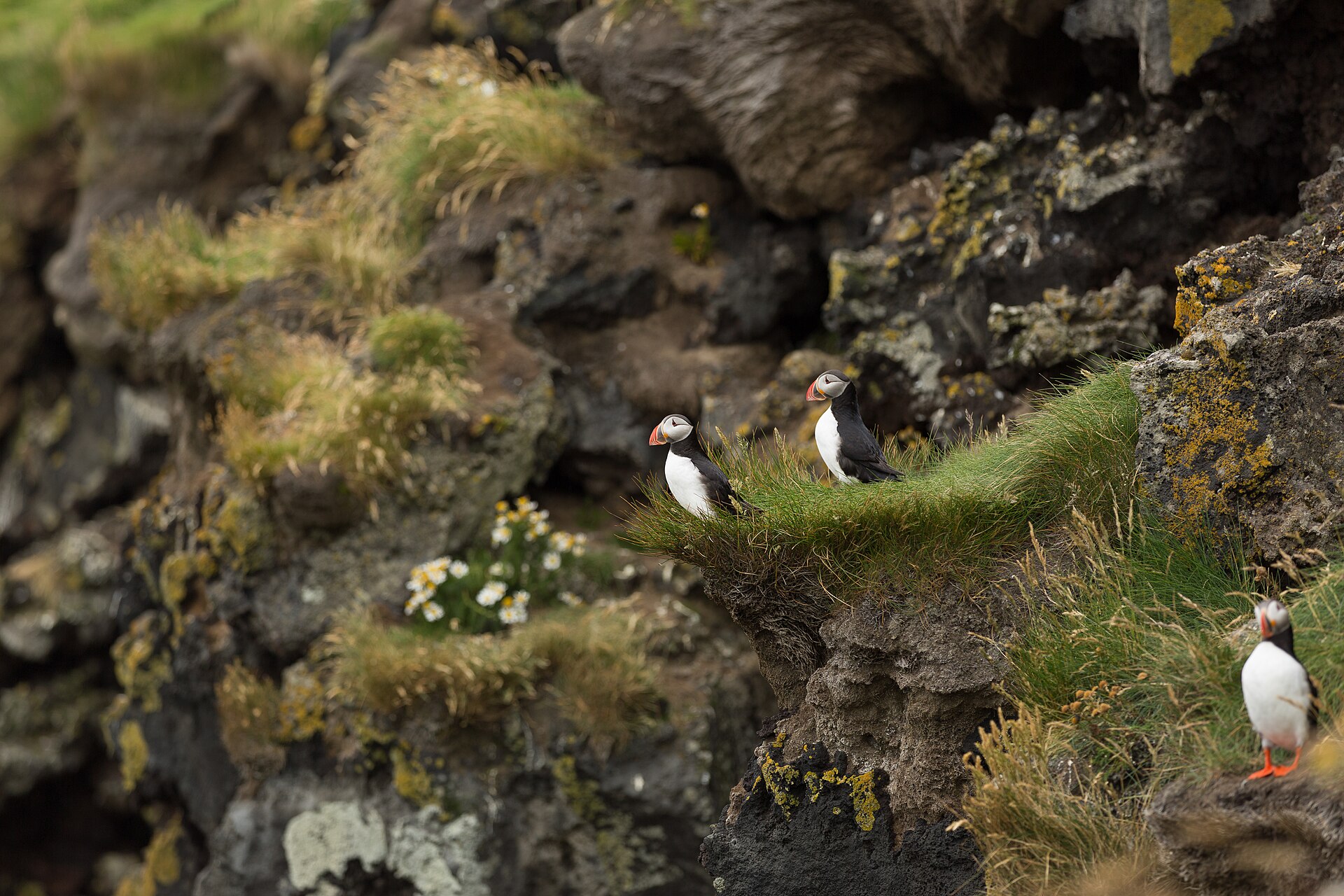
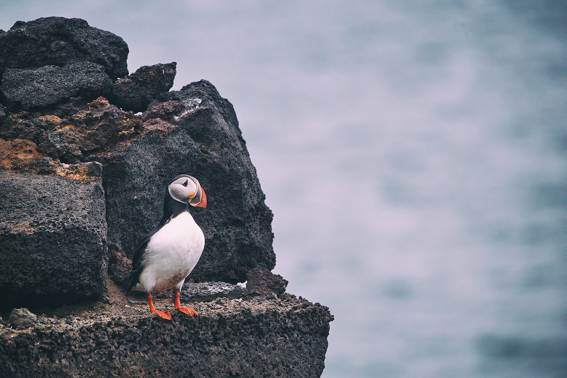
That second season is the one the town is known for. A puffin chick leaves its burrow after dark, alone, and sets off for water it has never seen, finding its way by the moon and by the brighter horizon standing over open sea. Street lighting drowns both signals, so on Heimaey the fledglings turn inland and come down in gardens, in car parks and under parked cars.
Children go out after midnight with torches and cardboard boxes to collect them. Every bird is handed in the next day, weighed and measured across the wing, and about a quarter are fitted with a stainless steel ring. Chicks have been ringed at fledging here since 1959, long enough that the scheme has produced birds over forty years old.
The organised version, the pysjueftirlitið, was set up in 2003 and is run by the Vestmannaeyjar Research Centre, and the whole town works it, the police included. Joining in on the street happens by accident and cannot be booked. What you can book is the one local guide who runs a night outing, leaving late in the evening and releasing the birds from the cliff the following morning, which usually turns up one or two chicks. Underweight and oiled birds go to the Sea Life Trust sanctuary on Ægisgata, in the bay that once held Keiko and now holds two beluga whales. The old Sæheimar aquarium, which used to take them, has closed.
The colony is not hard to reach and not hard to see. It is only hard to see at two in the afternoon.
The birds are not in good shape, and it is worth knowing before you go. Iceland's national red list has carried the Atlantic puffin as critically endangered since 2018, up from least concern at the turn of the century, and analysis published in 2023 put the Icelandic decline at around seventy per cent since 1995. Food is what drives it. Warm winters leave fewer of the lesser sandeels the adults carry in, and chick production across the Icelandic colonies falls away sharply on either side of a sea surface temperature of about 7.1 degrees. The one encouraging number in the set is recent: chick production improved from 2015 and has held up since.
It is measurable at all because of the hunters. Puffins have been taken for food on these islands since the ninth century, and the hunting books, kept since the 1880s, have been worked up into an annual index of chick production running back well over a century. It is the longest run of demographic data for any seabird in the North Atlantic, and it exists because somebody kept a tally of a catch.
The birds will not fill a day, and Heimaey does not need them to. The island lost nearly a third of its houses under lava and ash in 1973 and dug much of the rest back out afterwards. Eldheimar, on the edge of the flow, is built over one excavated house and tells the story of the seawater pumped onto the advancing front to keep the harbour mouth open.
Eldfell, the 220 metre cone the eruption left behind, is about half an hour's climb from the road above the museum, on red cinder still warm in places. RIB boats run an hour out of the harbour to the arch at Elephant Rock and into Klettshellir, a sea cave the crew reverses the boat into so that somebody can play a few bars and let the acoustics do the rest.
One weekend to avoid, or to aim for. Þjóðhátíð, the national festival held since 1874, fills Herjólfsdalur with about sixteen thousand people and three hundred tents on the weekend before the first Monday in August, which in 2027 falls on 30 July to 2 August. There are something like a hundred thousand puffin burrows in that valley. Accommodation is impossible that weekend and even foot passenger ferry places can go.
Herjólfur sails from Landeyjahöfn, forty minutes across. When swell closes that harbour it sails from Þorlákshöfn instead, nearly three hours, from a port much further away, and the confirmation does not always say so. Read the port name on it the day before. Car spaces sell out weeks ahead in July and August; foot passengers nearly always get on. There is no summer flight to fall back on, so keep an evening spare in case a sailing is cancelled.
Surtsey came out of the sea south of Heimaey in an eruption that ran from 1963 to 1967, and has been kept closed to all but a handful of researchers ever since. Puffins first bred on it in 2004, forty one years after the eruption began, which is roughly how long it took a new island to grow enough soil to dig a burrow in. Boats out of the harbour go near enough to see it on a calm day. It is the one island in the group that nobody gets to land on.