Things to do
16-
Dalfjall
The ridge above Herjólfsdalur, reached in about 20 minutes of steep grass from the valley floor, with the whole archipelago spread below. Towards its summit, Blátindur, the path turns into a scramble with ropes on the steep pitches. Allow two hours or more for the round, and stay off the crest in fog or strong wind.
-
Eldfell
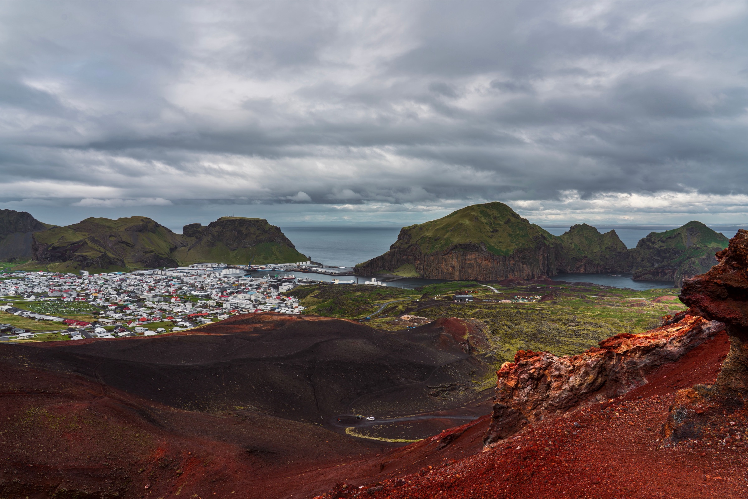
The cone that did not exist before 23 January 1973, when a fissure opened on the eastern side of the town without warning and built a hill just over 200 metres high. A marked path climbs the red scoria in about half an hour, and the ground near the top is still warm to the hand.
-
Eldheimar
A museum built around a single house on Gerðisbraut, dug out of the tephra that buried it in 1973 and left in the state it was found. The dig ran under the working name Pompeii of the North, and the museum now stands over it at the foot of Eldfell. Around 400 buildings went under in the eruption.
-
Elephant Rock
A dark lava cliff on the west coast shaped like an elephant's head, with its trunk dipping into the sea. It is seen best from the edge of the golf course in Herjólfsdalur, a short walk from the road. Come in the evening light, when the cliff face is lit.
-
Heimaey
The only inhabited island in the archipelago, cliffed on three sides with a harbour entrance narrowed by the 1973 lava. A road loops the settled ground and marked paths run the cliff edge. Boat trips around the island reach the sea caves and the seabird ledges.
-
Heimaklettur
The highest point on Heimaey at 283 metres, the cliff-sided block straight across the harbour from the town. The path climbs steep grass and three wooden ladders, with ropes and chains on the hardest sections and long drops beside them, and takes about an hour up and half that down. It is no climb for rain, snow, strong wind or anyone uneasy with heights.
-
Helgafell
The older of the two cones above the town, grassed over and long inactive. It stands just south-west of Eldfell, green where its neighbour is black, and the climb up its pathless grass takes under an hour. The top gives the clearest view of how the 1973 lava narrowed the harbour mouth.
-
Herjólfsdalur
A grassed valley on the west side of Heimaey, ringed by cliffs, with a campsite and the island's golf course on its floor. A reconstructed early farmhouse stands at its head, and the path up Dalfjall starts here. Over the first weekend of August the Þjóðhátíð festival fills the whole valley.
-
Hótel Vestmannaeyjar
A hotel on Vestmannabraut in the middle of the town, a short walk from the ferry quay, the harbour and the cafés around it. It suits a stay without a car. Summer rooms on the island go months ahead, so book early.
-
Sæheimar
The island's aquarium and puffin rescue, now inside the SEA LIFE Trust beluga sanctuary centre at Ægisgata 2, home to the belugas Little Grey and Little White. In late August and early September the centre weighs the stray pufflings brought in from the streets before their release. It opens from mid February to mid November, and booking a couple of days ahead is wise.
-
Sagnheimar
The town's folk museum, which tells the island's story through objects and photographs, from the fishing boats to the pirate raid of 1627. A visit takes under an hour, and it makes a good indoor stop on a day when the wind closes the cliff paths.
-
Skansinn
A low turf and stone rampart on the water at the eastern end of the harbour, the remains of a fort first raised in 1586. Part of the site went under the 1973 lava, which rises right behind the wall. The stave church stands beside it, so the two make one short stop.
-
Sprangan
The cliff face on Strandvegur where island children learn spranga, swinging across the rock on a long rope from ledge to ledge. The practice can be watched from the foot of the cliff, a few steps from the road at the western end of the harbour.
-
Stafkirkjan
A small, dark timber stave church at Skansinn, given by Norway in 2000 and built to the pattern of the old Norwegian churches. Inside is one dim room, and a visit takes about ten minutes. Pair it with a slow walk around the old fort and the shore beside it.
-
Stórhöfði
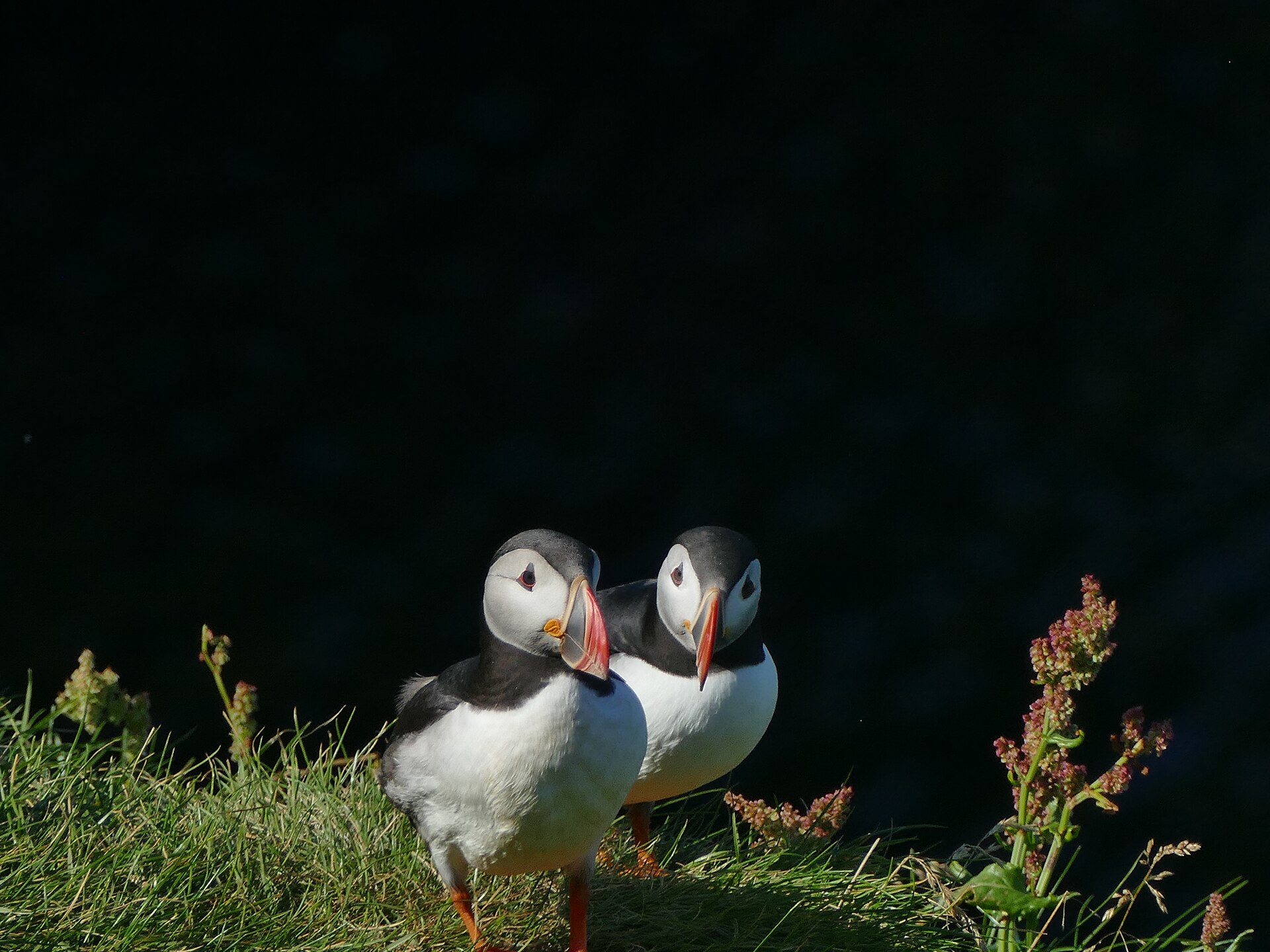
The southernmost headland of Heimaey, joined to the rest of the island by a low isthmus and one of the windiest places in Europe. A lighthouse and a weather station stand on top. From late April to August a small hide on the slope below is the dependable place to watch puffins.
-
Sundlaug Vestmannaeyja
The town swimming pool, with an indoor pool, an outdoor pool, hot tubs and a water slide. It is the warm end to a windy day on the cliffs. As at every pool in Iceland, the rule is a shower without a swimsuit before getting in.