 Submit a photo
Ninety seconds on Hverir Geothermal Area
Walking the paths at Hverir takes you right past hissing steam vents and boiling grey mud, on open ground crusted yellow with sulphur and stained red with iron.
Hverir, also called Námaskarð, is a high-temperature geothermal field in the active volcanic zone around Krafla, which is why the ground here is hot to the surface.
The mud pots form where a little water collects in the volcanic ash around a fumarole, and they bubble in ochre and grey.
The smell reaches you before the steam does. It is hydrogen sulphide gas, released as magma close to the surface heats the groundwater, and it hangs heaviest on still days.
Look at the ground between the vents as closely as the vents themselves. The colours are mineral deposits: bright yellow sulphur crystals, rusty red iron and chalky white clay, laid out in patches across the whole slope below Námafjall.
Námafjall rises behind the car park. Pay for parking there before you set out, then check the map board at the entrance for the marked trails across the field.
From the car park, a short, flat loop leads between the mud pots and the steam vents, a few steps from the path. Most visitors spend 15 to 30 minutes on it, stopping for photographs.
For the view over the whole field, take the path that climbs steeply from the car park to the ridge of Námafjall. From the top you look over the steam fields, Mývatn and the lava to the east. Allow an hour or more for the climb and return.
Wear boots with a good grip, because the ground is uneven, gravelly in places and muddy in others. The clay on the Námafjall path turns very slippery when wet, so in rain keep to the flat loop.
There is nowhere to eat or buy water on site, so bring both from Reykjahlíð. For information on the wider lake area, Gígur, the visitor centre at Mývatn, is open all year.
Explore the rest of Mývatn
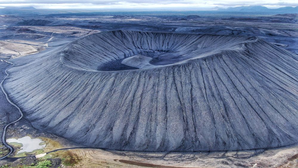
A black ring of loose tephra rises east of Mývatn, with a steep climb from the car park and a level walk round the rim. From the top you…
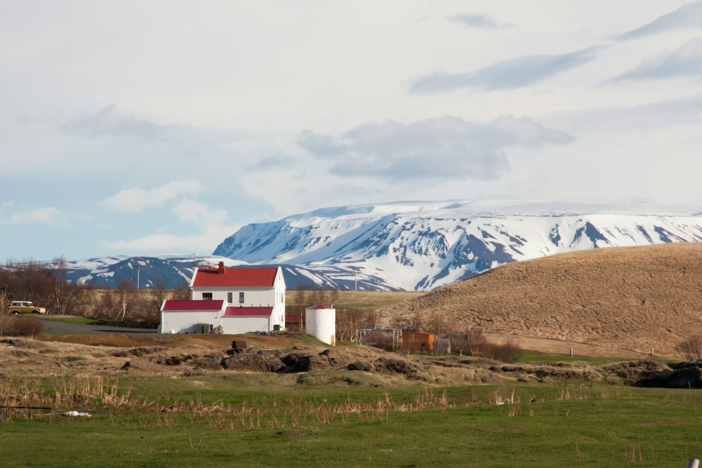
A farm stay at Vogar on the east shore, between Reykjahlíð and Dimmuborgir. Its café looks through glass into the working cowshed, so…
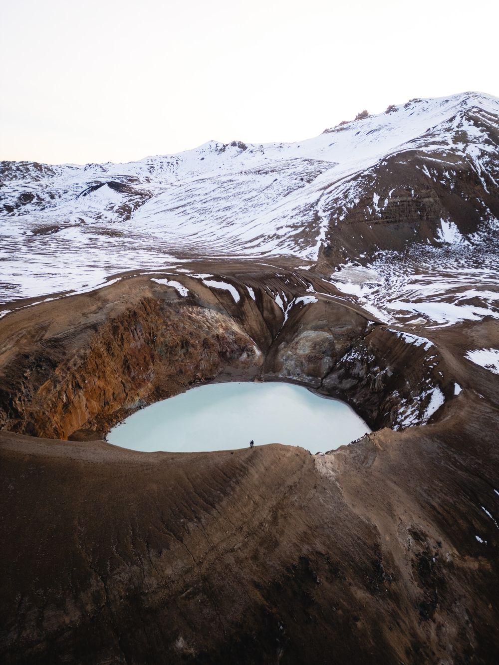
An explosion crater about 300 metres across under Krafla mountain, north of Lake Mývatn, holding a milky-blue lake ringed by brown sulphur…
Last updated