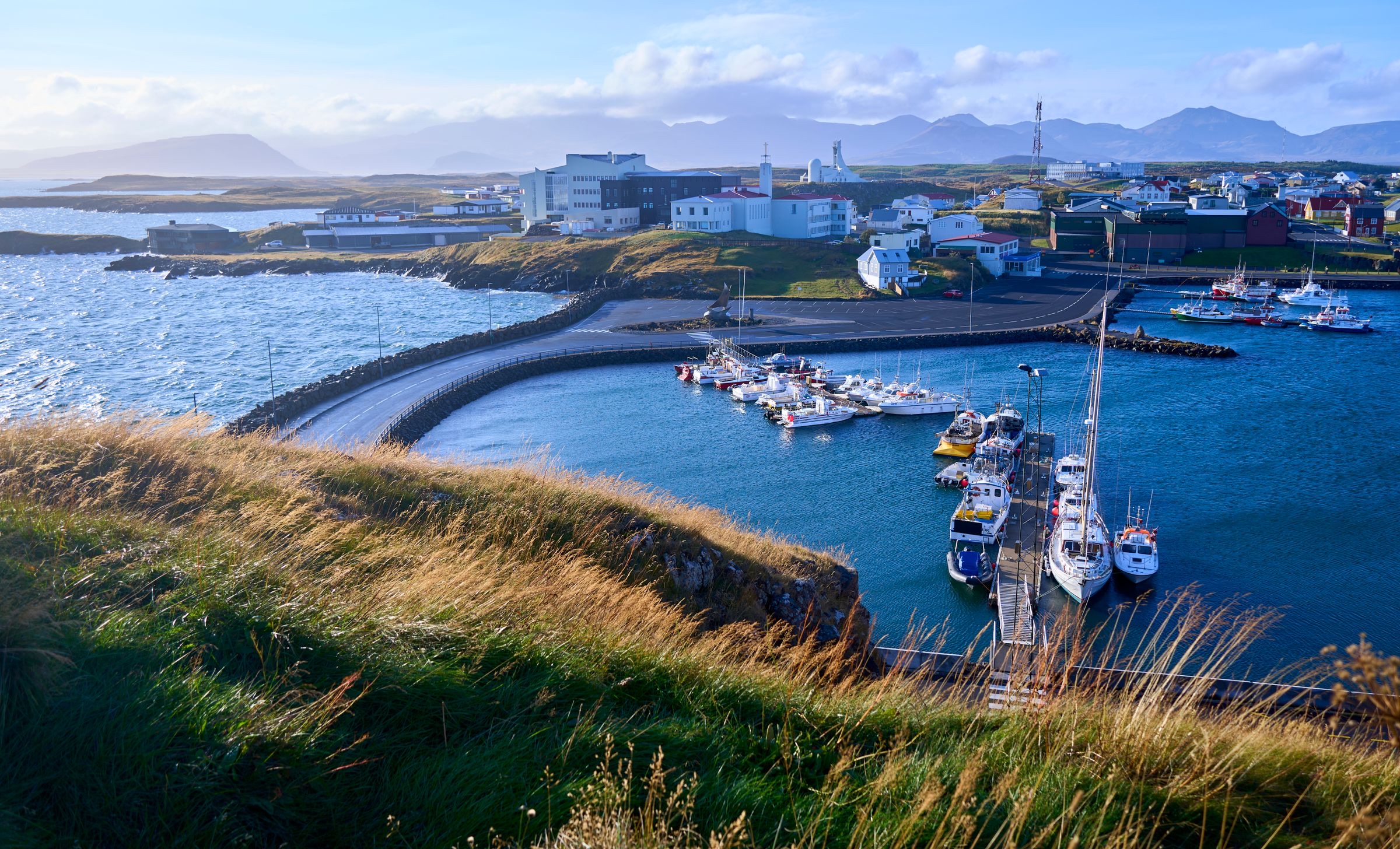
Climb Súgandisey to see Stykkishólmur and Breiðafjörður from above. The summit looks over the town, its harbour and the hundreds of islets scattered across the bay.
Island, Stykkishólmur. Meridian Dispatch.
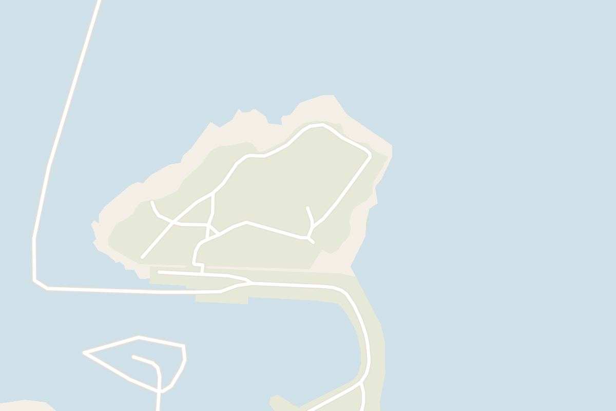
Under ten minutes from the port to the lighthouse. The route crosses the link onto the island and climbs a flight of stairs to the top.
Súgandiseyjarviti, the island's lighthouse. The tower was built in 1897 at Grótta on Seltjarnarnes and moved to Súgandisey in 1942. The ground around it, the paths and the steps up to the island have all been repaired.
The top looks down on Stykkishólmur and its harbour, and out over Breiðafjörður with its scattered islands. In late afternoon the low sun colours the islets and the water around the quay.
Súgandisey closes the north side of the harbour in Stykkishólmur, on the Snæfellsnes peninsula in West Iceland. Route 58 leads into town and down to the waterfront. For a sat-nav, the island sits at 65° 4' 49" N, 22° 43' 25" W.
Yes. The island is rich in birdlife, and the walk up is as much for the birds and the nature as for the view. The slopes and the water below are the places to scan on the climb, and binoculars help.
By landfill. Súgandisey was a separate island until 1989, when it was joined to the shore while a new harbour was built for the Baldur ferry across Breiðafjörður.
Súgandisey is a low hill of volcanic basalt that rises directly above the harbour at Stykkishólmur. It shelters the town from the northern wind and gives the harbour its natural protection for boats, which is one reason the town grew here.
Seen from the quayside, the hill is part of every view of the waterfront and one of the best-known landmarks in Stykkishólmur. Its small orange lighthouse, Súgandiseyjarviti, stands on the summit.
A winding gravel path and wooden steps lead up to it, with benches set along the way, so you can take the climb in stages and stop for the view.
Breiðafjörður, the bay the summit overlooks, has long been the region's food chest.
From the harbour, where you can park, a stairway climbs from the quayside onto the island. At the top, the trail splits east and west.
Take the east path. A brief rise leads to a resting spot that looks south toward the town, and from there a loop carries on up to the lighthouse.
Off the path, step out to the rocky point on the north-east corner of the island for the view, then follow the loop back down to the stairs and the harbour.
For photographs, spring and autumn give the strongest light: the sun stays low in the sky for long spells and the clouds often build into dramatic shapes over the fjord. In summer, a late evening visit brings sunset colour and the long summer light over Breiðafjörður.
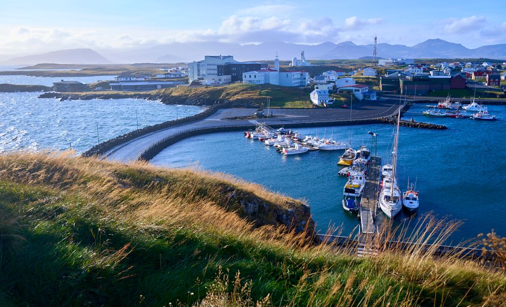
Stykkishólmur, Iceland: a harbour town on the north side of Snæfellsnes, living on fishing and visitors. Bjarnarhöfn Shark Museum and Breiðafjörður.
Read the Stykkishólmur guideExplore the rest of Stykkishólmur
A harbour town on the north side of Snæfellsnes, living on fishing and visitors. The old quarter above the pier is a grid of painted timber…
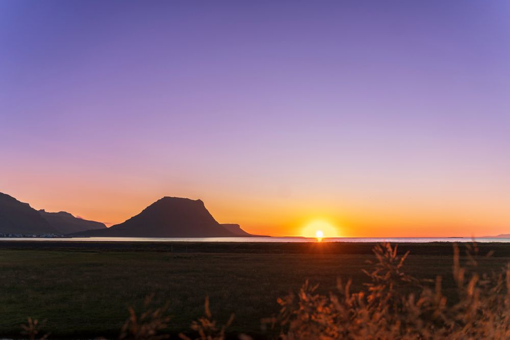
A fishing town on the north coast of Snæfellsnes, wrapped around a working harbour with Kirkjufell standing at the mouth of the fjord.…
A hotel of 21 rooms in the 1930s convent built by the town's Franciscan sisters, on Austurgata a short walk from the harbour. The chapel…
A timber house of 1867 by the harbour, run as a small hotel of ten rooms. Stay here to sleep in the oldest part of town, a short walk from…
A house built in 1832 from timber shipped in from Norway, now the regional museum of Snæfellsnes. The upper floors are furnished as the…
Roni Horn's installation in the old library building on the bluff, where twenty four glass columns hold meltwater collected from glaciers…
A guest house on the edge of Grundarfjörður with double, triple and quadruple rooms, a studio and a two-bedroom apartment. Every room has…
A family owned guesthouse near Grundarfjörður, named for Kirkjufell, which can be seen from the property. Every room type has a private…




Save Súgandisey to your Iceland trip in the Meridian Dispatch app and build the day around it, with the best of Stykkishólmur pinned on one map.
Download on the App StoreLast updated