 Submit a photo
Ninety seconds on Dunquin Pier
This is where you take the boat to Great Blasket, and even without a crossing, the walk down the cliff puts the Blasket Islands and the open Atlantic right in front of you.
From the clifftop, the concrete path drops down the cliff face in tight hairpin bends to the slip at the bottom. Two pyramid-shaped sea stacks rise out of the Atlantic beside the pier, and the Blasket Islands lie across the water beyond them.
Great Blasket is 5 km by boat from the pier. Its people lived there until 1953, when emigration and decline ended in the island's evacuation. Islanders wrote or dictated the books The Islandman, Twenty Years A-Growing and Peig about their life there.
The Blasket Centre in Dún Chaoin, a short drive away, tells the story of island life, fishing and farming, and has a clifftop viewing platform over the islands.
Cars stop on the clifftop by the boat ticket huts, and a steep concrete path winds down from there to the slip where the ferries board. With one operator the crossing to Great Blasket takes about 20 minutes and leaves about four hours on the island.
Great Blasket has no jetty, so at the island you move from the ferry into a small inflatable that takes you ashore.
If you are not crossing, walk down to the slip for the view of the sea stacks and the islands. Either way, the climb back up the path to the car is steep and harder work than it looks, so take it at a steady pace.
Boats to Great Blasket sail from the pier, weather permitting. One operator lists four sailings a day, with its departure times on its own website.
Book by phone or by contacting a boat directly, and book ahead for July and August. One operator takes payment on the day, since sailings depend on the weather.
In rough seas sailings are cancelled for the day, and the boat gets in touch the evening before if yours is off.
Wear sensible shoes, because the path down is steep. There is no café or shop at the pier, so bring food and water with you, more so if you are crossing to the island.
The clifftop parking gets very busy during the daytime, so avoid the middle of the day if you only want the view. Part of the Slea Head cliff road on the way is single lane, so drive it slowly.
Explore the rest of Dingle
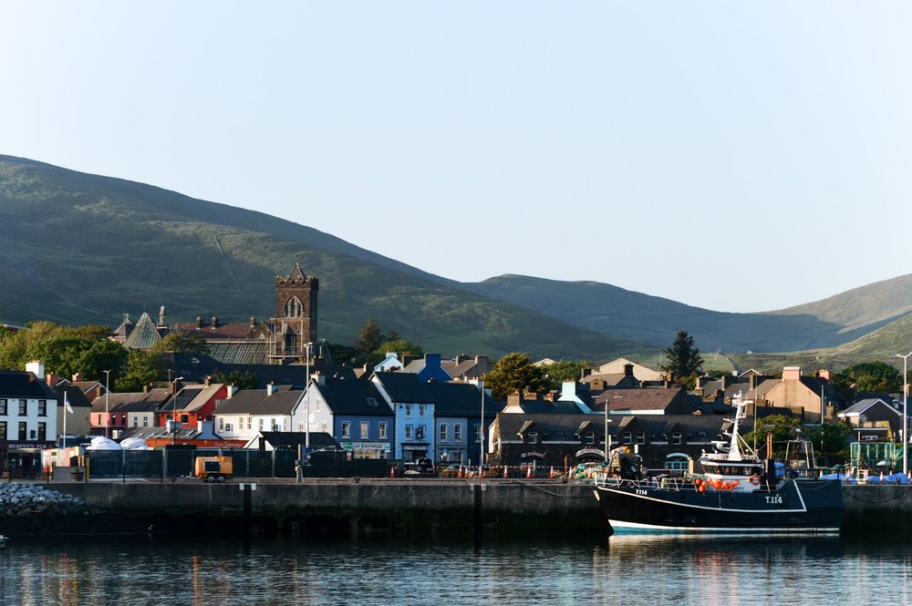
A fishing harbour town on the south coast of its Kerry peninsula, known in Irish as An Daingean. Painted houses line the waterfront below…
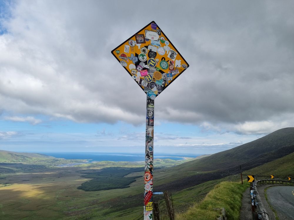
A mountain road over a 456 m pass, running about 12 km between Dingle and Kilmore Cross past high corrie lakes under the cliffs. Coaches,…
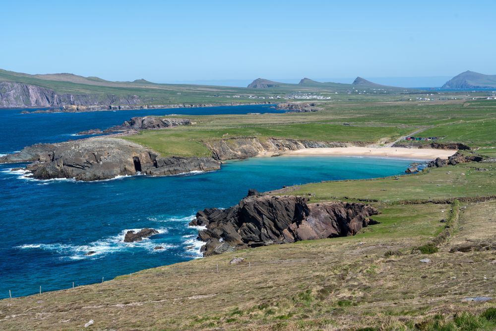
A loop of about 48 km west from the town on the R559, signed one-way clockwise for visitors through Ventry. It passes Dunbeg Fort and the…
The official pages this guide was checked against.
Last updated