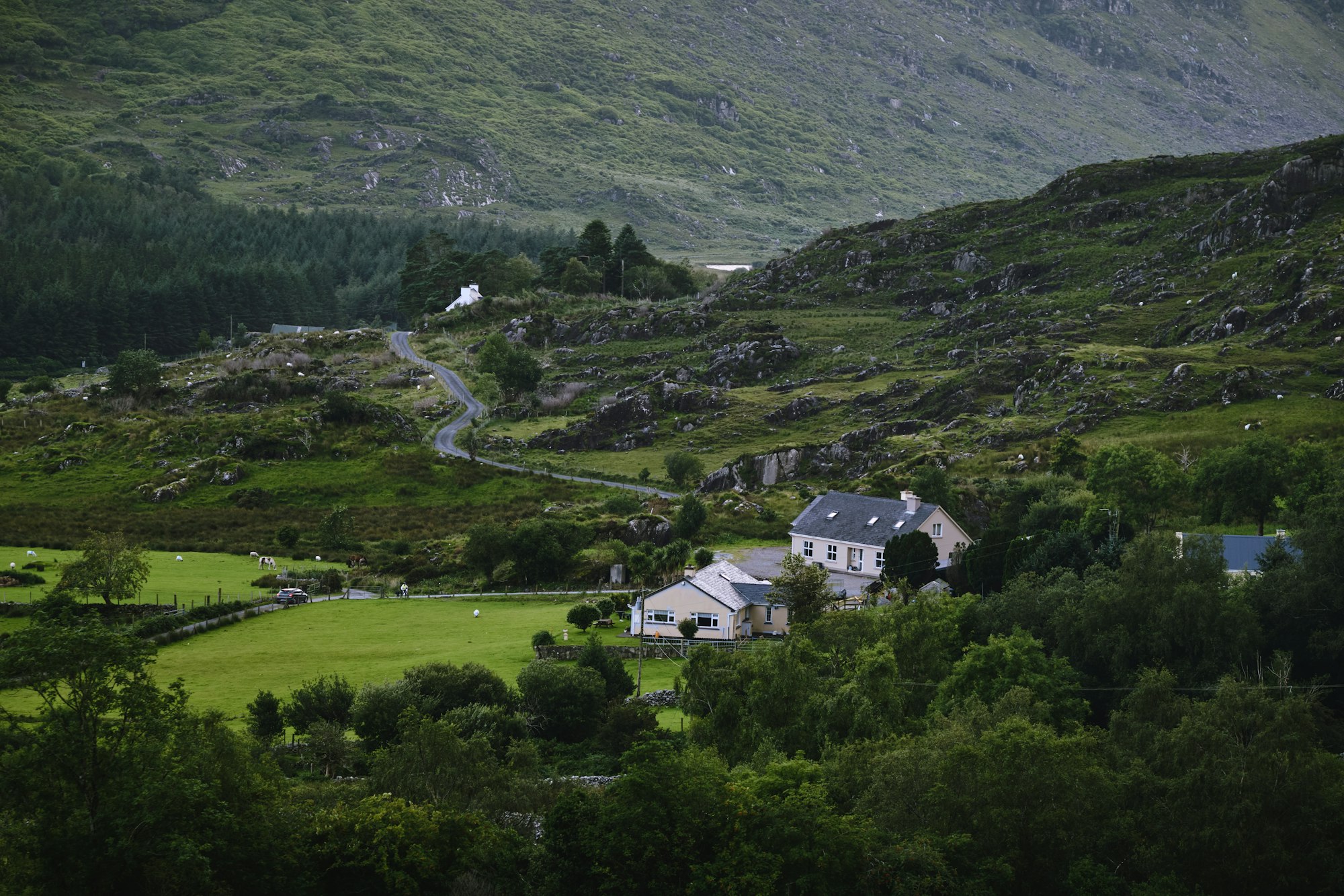
179 km round the Iveragh Peninsula
At eight in the morning you are out of Killarney ahead of the main coach departures. Take it clockwise, Kenmare first, and the sea views stay on your side of the road for pulling in.
The line is the driving route through the same points the Google Maps links use, every one of them on the road itself, drawn on OpenStreetMap. It measures 170 km from the centre of Killarney; 179 km is the published length. Distances are measured along it, clockwise. Detours are pinned where they are, off the loop.
The loop runs from the lakes and woods of the national park, over the pass at Moll's Gap, down to the Atlantic coast with islands offshore, and back round the north of the peninsula to where it started.
The south side is the half to slow down for. From Kenmare the N70 follows the bay west to Sneem, runs on to Caherdaniel, climbs over Coomakista and drops to Waterville. Staigue Fort and Derrynane Beach are both a short turn off it.
Add the Skellig Ring if there is time: the road out through Ballinskelligs and Portmagee, with the two Skellig islands out to sea.
Most tour coaches run the loop anticlockwise, Killorglin first, because the narrow stretches are hard for two of them to pass, though some now run both ways. The main departures leave Killarney between nine and ten, so an early start puts you ahead of them whichever way they go.
The last stretch, from Glenbeigh through Killorglin to Killarney, is on the better roads. To take in the Skellig Ring and the beaches as well, split the loop over two days and sleep at Waterville, Portmagee or Cahersiveen.
Where the loop starts, and the islands off its far end
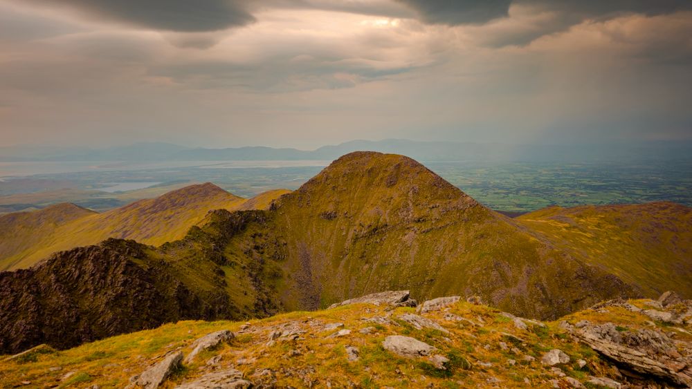
The usual base for the loop, at the gate of the national park.
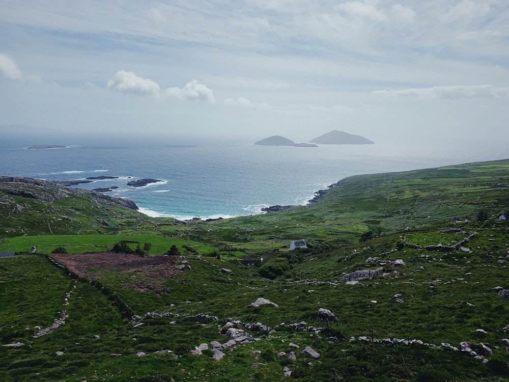
The island monastery the Skellig Ring looks out to, landed on by boat from Portmagee.
The harbour on the detour, and the place to stay if you split the loop over two days.