Globe Countries Cities Itineraries World's Best Hotels Events Login
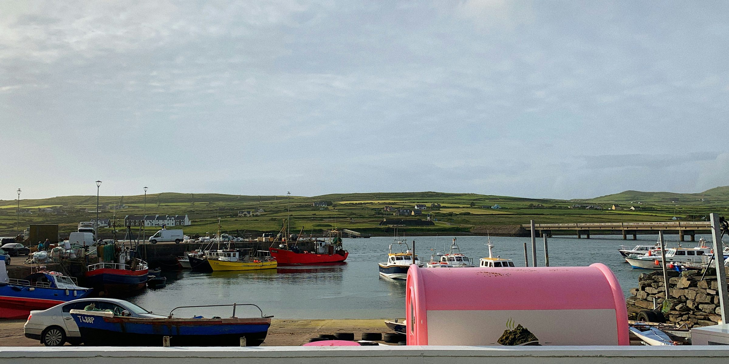
Fishing boats moored in Portmagee harbour beside the quay, the green hills of Valentia Island across the channel and the road bridge to the island at right
Portmagee harbour and the bridge to Valentia · the island is a few minutes away by road
Town brief · 51.8857°N 10.3660°W

Portmagee

Roughly one booked Skellig landing in three is called off for weather, so stay three nights: the spare days give you a chance at a seat freed up by another cancellation, and Valentia Island across the bridge if the sea stays rough.

View on globe

Why you should go

Ninety seconds on Portmagee

How long
Three nightsone for the boat, two for Valentia and the Skellig Ring
Getting around
By car, over the bridgesingle-lane stretches on the Skellig Ring
When
Mid May to Septemberthe Skellig landing season, set each year
Language
EnglishIrish is spoken in the Gaeltacht round Ballinskelligs
Money
The eurothe Valentia ferry takes cash and card on board
Airports
Kerry KIRabout 1 hour 15 by road; Cork and Shannon about 2.5 to 3 hours
How long

How many nights does a Skellig trip from Portmagee need?

Three nights: one before the boat, which sails in the morning, and two more for Valentia Island and the Skellig Ring, or for a second try at the crossing if the first is cancelled.

Getting around

Is a car needed in Portmagee?

For anything beyond the village, yes. Geokaun Mountain, Bray Head and the lighthouse at Cromwell Point lie across the road bridge on Valentia Island, and Ballinskelligs lies further round the Skellig Ring. The roads are narrow and slow, so allow extra time for every drive.

When

When is Skellig Michael open for landings?

From about mid May to the end of September, with dates set each year by the Office of Public Works. The 2026 season closed on 21 September for weather and safety, and boats that circle the islands without landing run to the end of October, weather permitting. Landings for 2027 are expected to start in May.

Language

What language is spoken around Portmagee?

English. Irish is spoken in the Uíbh Ráthach Gaeltacht, whose largest village is Baile an Sceilg, or Ballinskelligs, on the Skellig Ring. Signs and official sites use the Irish name for the island, Sceilg Mhichíl.

Money

What currency is used in Portmagee?

The euro. The Valentia car ferry between Reenard Point and Knightstown takes cash and card on board.

Airports

Which airport is closest to Portmagee?

Kerry Airport, KIR, at Farranfore, about 1 hour 15 minutes by road. Cork, ORK, and Shannon, SNN, are each about 2.5 to 3 hours by car.

Boats for Skellig Michael leave the Portmagee marina in the morning for a crossing of about an hour to the island, 11.5 km out in the Atlantic. A landing tour gives two and a half hours ashore to climb 618 steep, uneven steps to the monastery at the top. Booked passengers are emailed their departure time in advance.

Only boat operators holding an Office of Public Works permit may land passengers. Book directly with one of them, listed on the Heritage Ireland Skellig Michael page, or at the booking office in the marina car park, and book months ahead for summer, since the popular dates fill first. Landings resume in May, and children under 12 cannot go ashore.

Sleep in the village the night before the boat, close to the marina. Portmagee has no hotel, but several guesthouses and B&Bs, and they fill early in summer. Take seasickness tablets well before you board, and carry food, water, sun cover and shoes with real grip for the wet steps.

You need a car here. The road bridge puts Valentia Island a few minutes from the harbour, and from April to October a car ferry also crosses between Reenard Point and Knightstown on the island. Without a car, Bus Éireann's 279A runs year-round from Killarney to Cahersiveen, the nearest town on the main road.

A cancelled landing is rarely moved to another day; the usual offer is a seat on a boat that circles the islands without landing. Out of season, Valentia carries the stay: the lighthouse at Cromwell Point opens from March to October, and the Skellig Ring makes a full day by car.

Things to do

12
  1. Kerry Cliffs

    Kerry Cliffs

    Viewpoint · 1 hr

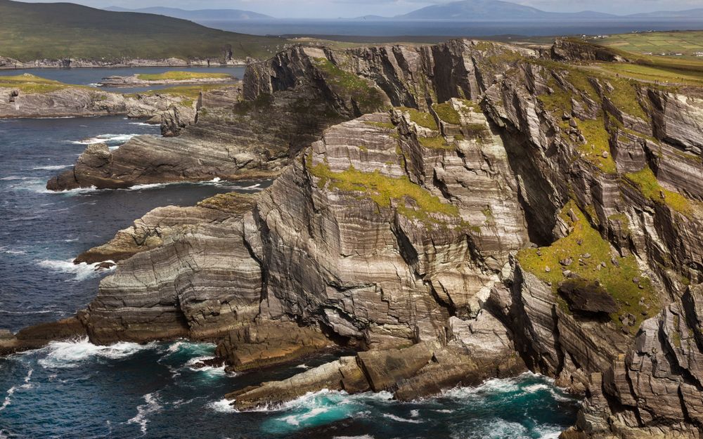
    From the fenced cliff top you look straight out over the Atlantic to both Skellig islands, a view you reach by car and a short walk, with no boat to book.

    View more →
  2. Skellig Ring

    Skellig Ring

    Viewpoint · 3 hr

    The Skellig Ring is a coast road loop of about 60 km at the tip of the Iveragh peninsula, through Portmagee, St Finian's Bay and Ballinskelligs. The road is narrow and winding, with single-lane stretches and pull-ins for passing. The driving alone takes about an hour, and with stops at the cliffs and beaches the loop fills three to five hours.

  3. Ballinskelligs Abbey

    Monastery · 30 min

    Stop at Ballinskelligs on the Skellig Ring and you can walk from the beach straight into the ruins of a roofless medieval abbey.

  4. Geokaun Mountain

    Viewpoint · 1 hr

    From the top of Geokaun you see the Skellig Islands, the Portmagee Channel and the Kerry mainland, and you can drive most of the way up.

  5. Little Skellig

    Island · 1 hr

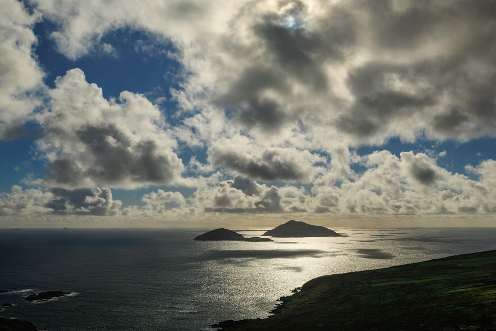
    You cannot land on Little Skellig, but the boats that circle the islands run in close beneath its gannet cliffs.

  6. Skellig Experience Centre

    Museum · 1 hr

    Go on a day the boats do not sail: the centre across the bridge on Valentia tells the story of the Skellig monastery, and it opens from March to November.

  7. Skellig Michael

    Landmark · 2.5 hr

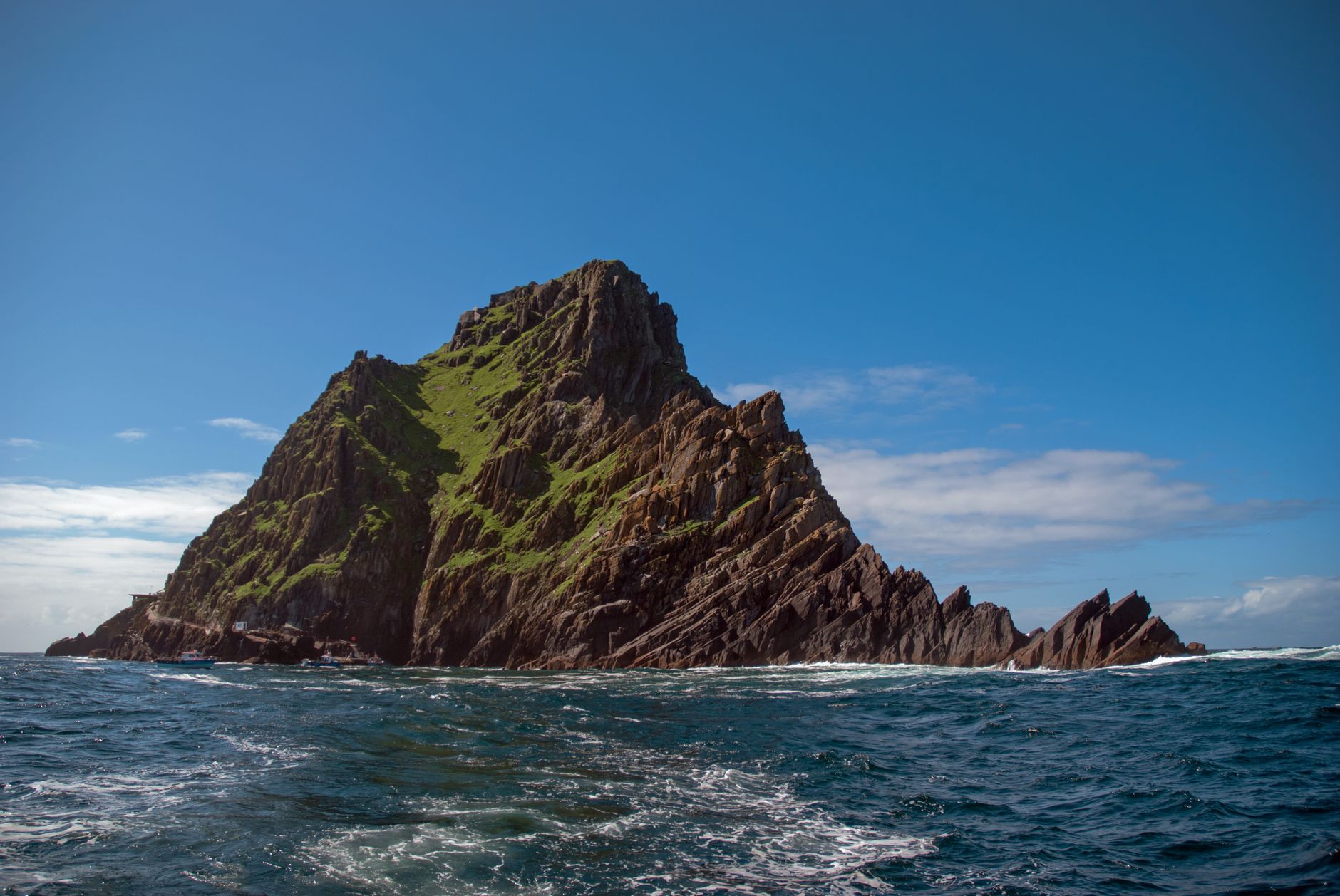
    By mid-morning on a calm day you can be standing inside a monk's beehive hut on the summit of a bare Atlantic rock. The climb is steep with no handrail in places, and boats only land when the swell allows.

    View more →
  8. Valentia Island Lighthouse

    Lighthouse · 30 min

    A working light at the end of a short walk, with the Skellig coast laid out from the point.

  9. Bray Head

    Viewpoint · 1.5 hr

    Bray Head is the high headland at the western end of Valentia Island, a short drive over the bridge from Portmagee. A track climbs from the car park at its foot to the ruined signal tower, with the Skelligs and the Iveragh coast in view from the top. The path is steep in places, so shoes with a firm grip suit it best.

  10. Knightstown

    Village · 1.5 hr

    Knightstown is the small village at the eastern end of Valentia Island, where the seasonal car ferry from Reenard Point comes in. Its main street has a few shops and small restaurants, and the island's heritage centre is in the village. Arriving over the bridge from Portmagee and leaving on the ferry turns a day on Valentia into a loop.

  11. St Finian's Bay

    Beach · 30 min

    St Finian's Bay is a beach on the Skellig Ring, on the coast road between the Kerry Cliffs and Portmagee. The road down from the cliffs is steep, with a run of tight switchbacks, so the descent needs a low gear and patience. A short stop covers the strand before the road climbs again towards Portmagee.

  12. Valentia Slate Quarry

    Landmark · 1 hr

    The slate quarry near Knightstown on Valentia Island, a short drive over the bridge from Portmagee, is still worked, and the cutting can be seen in progress on a guided tour. Tours go underground every hour through the summer season. Bring a warm layer for the underground section.
Basemap Meridian · data © OpenStreetMap

Dispatches

1
Skellig Michael: 180 Seats a Day, Weather Permitting
Skellig Michael

Skellig Michael: 180 Seats a Day, Weather Permitting

Fifteen licensed boats carry twelve passengers each out to Skellig Michael, on the two thirds of days the Atlantic does not cancel the landing.

Explore

More of Ireland

Ireland
Country

Ireland

Every Ireland town, place and dispatch, on one map.

Dingle
Town

Dingle

A fishing harbour town on the south coast of its Kerry peninsula, known in Irish as An Daingean.

Dunquin Pier
Viewpoint · Dingle

Dunquin Pier

Killarney
Town

Killarney

Ring of Kerry
Scenic Drive · Killarney

Ring of Kerry

Take the loop clockwise, Kenmare first, and the sea views stay on your side of the road for pulling in.

Sources 6

The official pages this guide was checked against.

Last updated