Itineraries / United Kingdom
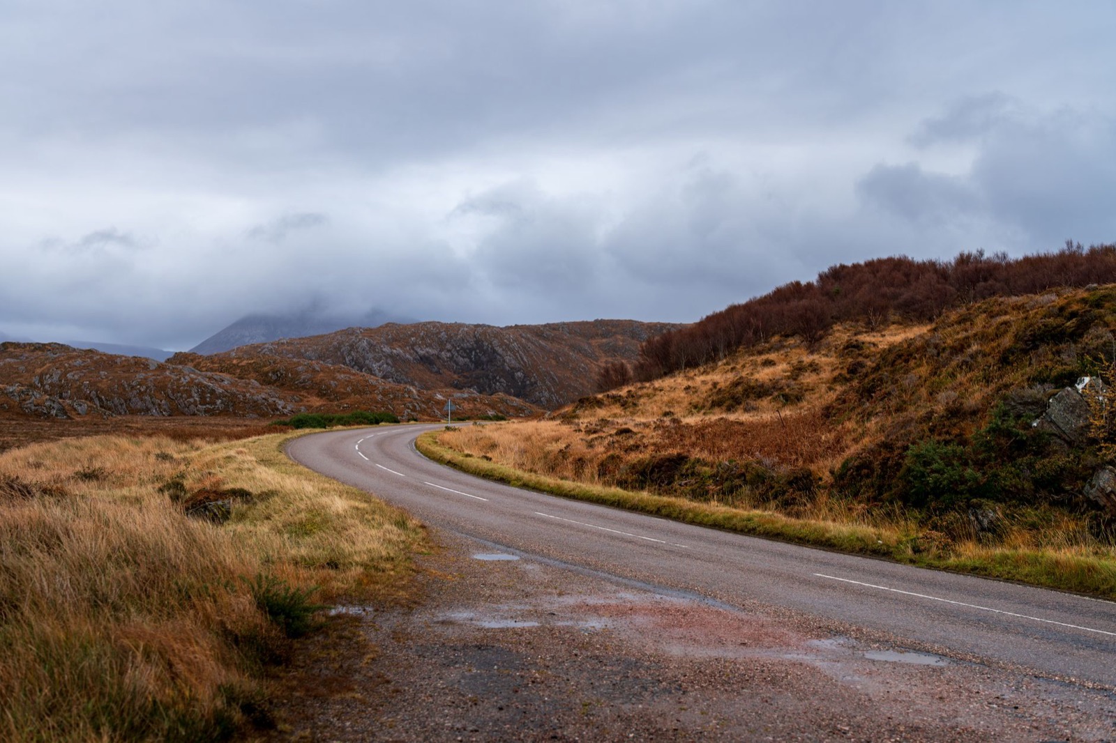
Rust-coloured moorland under heavy cloud, the kind of Highland road that fills most days of this route
Seven beds, from a Georgian mansion in Inverness to a castle hotel in Dornoch, with a shore inn at Applecross and a hilltop lodge above Lochinver between them. The stops come in road order, among them Culloden Moor, the bridge over Corrieshalloch Gorge, Smoo Cave and the Whaligoe Steps.
You climb hairpins to 626 metres on the Bealach na Bà, single track with gradients near 20 per cent, and drop down the far side to an inn on the shore at Applecross. Further round come white shell-sand beaches in Assynt and sandstone sea stacks at the north-east tip of the mainland.
The loop runs clockwise from Inverness. That puts the single track of Wester Ross and Sutherland on days two to five, and leaves the east coast for the last day, a straighter run south to Dornoch.
880 km and about 15 hours at the wheel over 7 days, starting and ending at Inverness.
Seven hotels for seven nights, in the order you reach them, with the drive into each. Fly into Inverness and pick the car up there.

Culloden Moor, the Clava Cairns and Inverness Castle
A restored Georgian mansion in central Inverness, looking over the River Ness. Book it early, because rooms in the city fill from June to August.

The Ness Islands, Rogie Falls, Strome Castle and the Bealach na Bà
An inn on Shore Street with seven en-suite rooms, each with a sea view across the Inner Sound to Raasay and Skye. A peat stove burns in the bar and dining room; rooms are few, so book ahead from May to September.

Shieldaig, Glen Torridon, Loch Maree and Rubha Reidh
A hunting lodge near Gairloch, beside a bay where boats come and go and seals swim. Dinner is in the Loch-View Restaurant.

Inverewe, Corrieshalloch Gorge, Ullapool and Ardvreck Castle
On a hilltop above Lochinver, looking across the village to Suilven. The restaurant serves local produce, so dinner needs no further drive.

Achmelvich, Clachtoll, Kylesku Bridge and Smoo Cave
Seven individually designed bedrooms in Durness, with a peat fire and a dram at the end of the day. Breakfast uses seasonal, local and organic produce.

Castle Varrich, Dunnet Head, the Castle of Mey and Duncansby Stacks
A guest house about 1.6 km from the John o' Groats harbour, with views over the Pentland Firth. Rooms are en suite, breakfast is included and evening meals are available.

The Whaligoe Steps, Dunrobin Castle and the cathedral
Directly across the square from Dornoch Cathedral, so the last stop of the trip is over the road. The Garden Restaurant looks over the formal walled gardens for the final dinner.
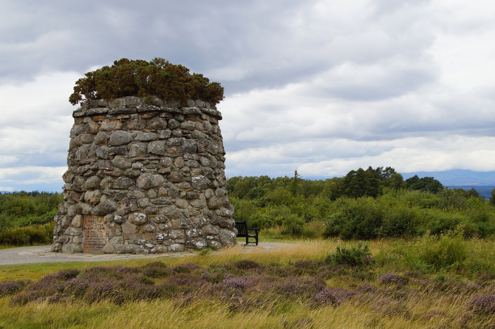
A memorial cairn on Culloden Moor, the first afternoon's walk
Culloden Moor is a quarter of an hour from Inverness Airport. Start in the visitor centre, then walk out on the moor, where red flags mark the government line, blue flags the Jacobite one, and the clan graves lie in the grass between them.
The moor is exposed, so carry a waterproof even in July, and the paths turn boggy after rain.
The Clava Cairns are ten minutes away down a narrow lane: three Bronze Age burial cairns in a grove of trees, each ringed by standing stones. Then drive into Inverness for the castle, reopened in December 2025 with exhibitions on Highland stories and a view down the river.
Buy what you need for the week before dinner. The shops and supermarkets in Inverness are the last of their size for days.
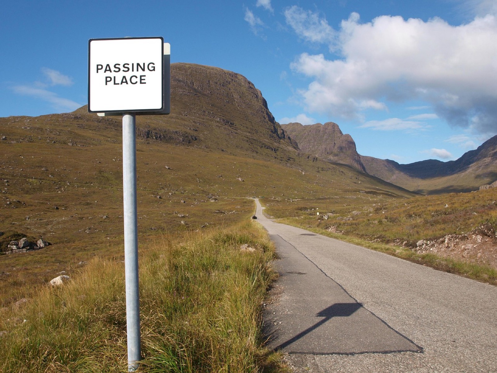
A passing-place sign on the climb up the Bealach na Bà
Start with an hour on the Ness Islands, a chain of wooded islands in the River Ness joined by footbridges, with flat paths under tall Scots pines and beeches. Wet leaves make them slippery after rain.
Then take the A835 to Rogie Falls, ten minutes through the pines from the car park. A suspension bridge hangs below the cascade, and in late summer salmon leap the falls beneath it.
Strome Castle is broken walls on a rocky point above Loch Carron, at North Strome on a minor road. Little of the castle stands, and the reason to stop is the view across the loch to the hills.
Climb the Bealach na Bà after 3pm; in July and August the hairpins back up from late morning. At Tornapress a sign says which vehicles should turn back, and from the summit car park a short walk up the track to the transmitter station shows Raasay and the Outer Hebrides.
The descent to Applecross takes about fifteen minutes. At low tide the red sand of the bay stretches far out, and the sun sets behind the islands on clear evenings.
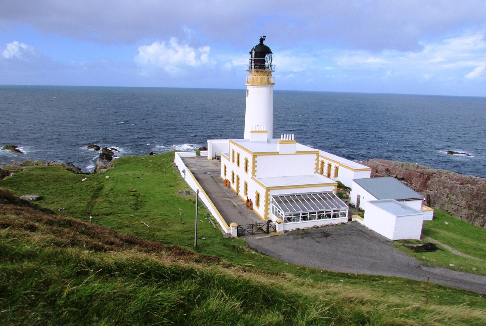
Rubha Reidh lighthouse and the old keepers' buildings, north of Gairloch
The coast road north from Applecross is single track with steep bends, and it comes out at Shieldaig, a line of whitewashed houses facing a pine-covered island. Sea eagles nest nearby and are often seen over the loch from the village front.
The A896 then runs up Glen Torridon, where Liathach and Beinn Eighe rise straight from the floor of the glen. Past Kinlochewe, the Glas Leitir car park in Beinn Eighe National Nature Reserve has two waymarked trails through old Caledonian pinewood; the woodland loop fits the hour, and the steep, rocky mountain trail does not.
Loch Maree comes next, its wooded islands below the sandstone wall of Slioch. Stop only in the marked lay-bys on the A832.
From Gairloch the public road runs north to Melvaig and stops; Rubha Reidh lighthouse stands on the flat headland beyond it, facing the Western Isles. Park and walk the last 5 km along the private estate road, narrow tarmac with a steep first section, to a gate short of the compound, then walk back. The tower is closed, and there is no phone signal out there.
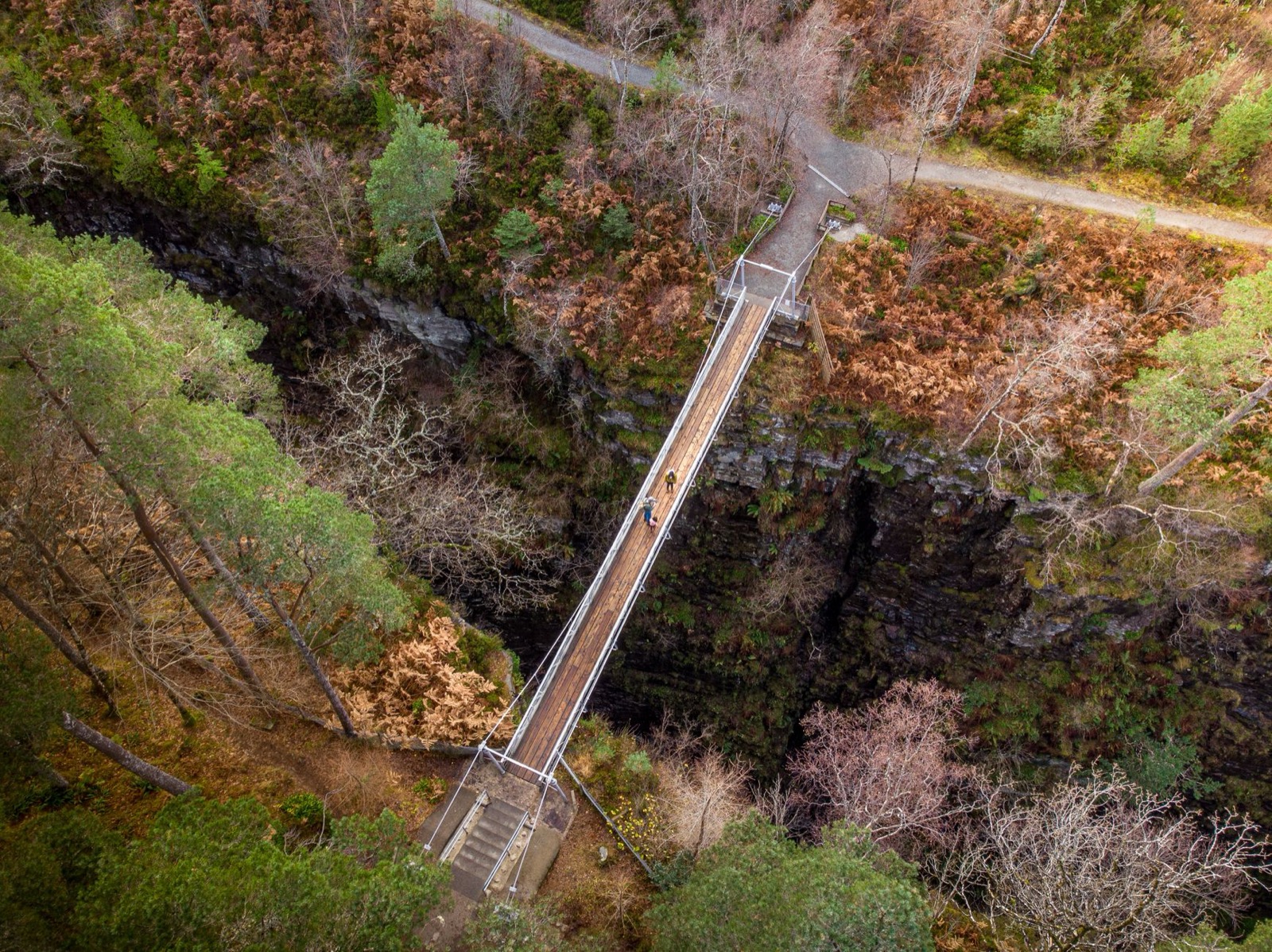
The suspension bridge over Corrieshalloch Gorge, seen from above
Inverewe Garden at Poolewe grows rhododendrons, eucalyptus and Himalayan plants on a peninsula sheltered by planted woodland and mild sea air. Its paths run out to viewpoints over Loch Ewe and down to a walled garden by the shore.
Corrieshalloch Gorge is 60 metres deep and only 10 metres wide at its lip. A steep gravel path drops to a suspension bridge just below the Falls of Measach, and the platform on the far side shows the full drop; the climb back to the car park is the hard part.
Stop for lunch in Ullapool, the largest town in Wester Ross, and buy seafood fresh near the pier, where fishing boats unload beside the houses of Shore Street. North of it, rock panels on the Knockan Crag trail explain the Moine Thrust, where older rock lies on top of younger.
The last stop is Ardvreck Castle, a broken MacLeod tower on a spit in Loch Assynt, five to ten minutes' walk from the road. Lochinver is twenty minutes on, a working fishing port under the hills of Assynt.
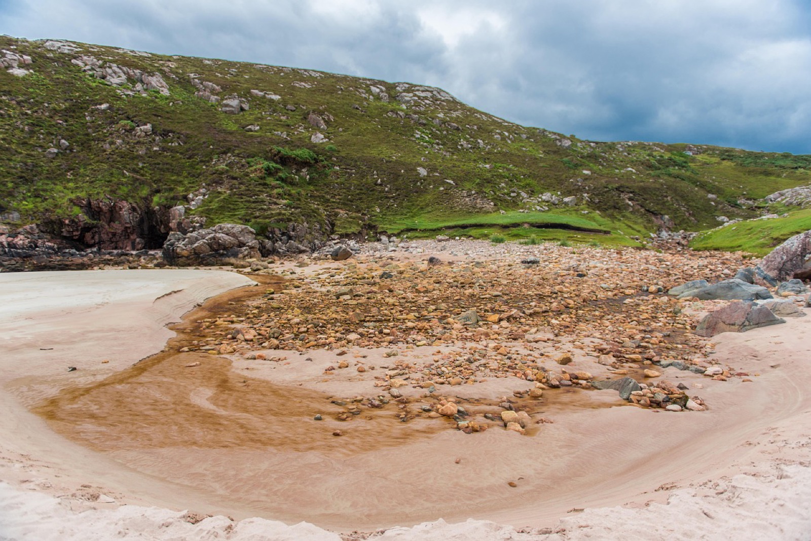
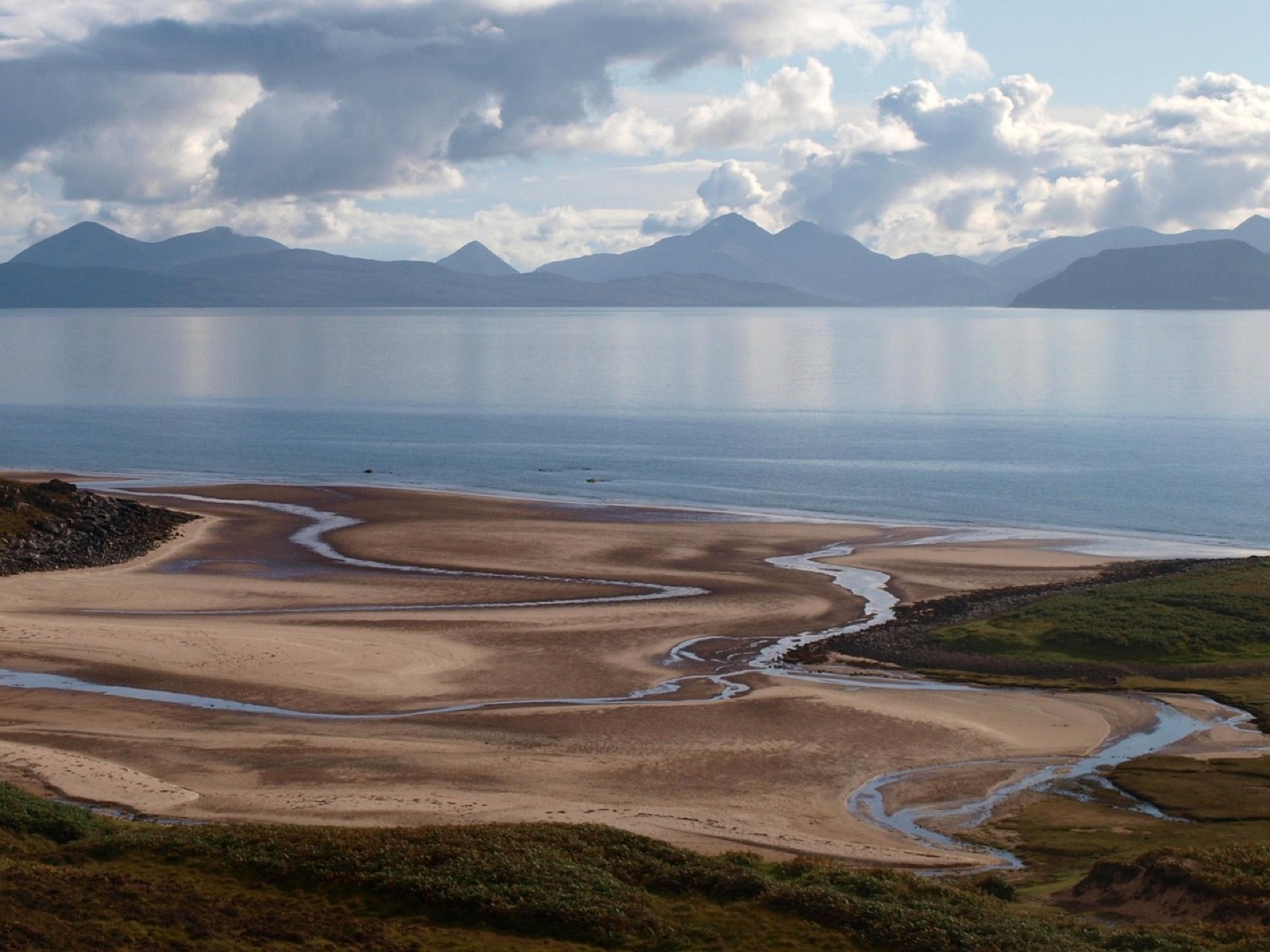
Ceannabeinne, where a peat-brown stream crosses the sand east of Durness
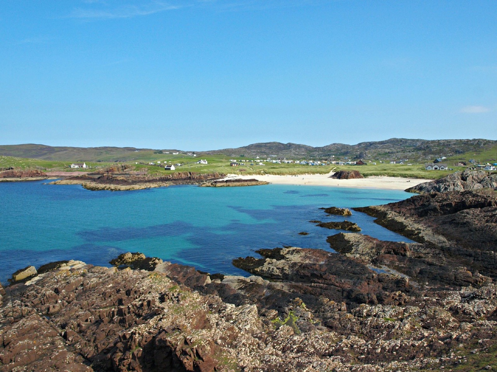
Achmelvich is a few minutes north of Lochinver down a single-track road: white shell sand and green water between gneiss headlands, with rock pools to scramble round. Clachtoll follows, a beach sheltered by low reefs, with an Iron Age broch about fifteen minutes along the shore path.
North of Clachtoll the coast road to Kylesku is narrower and steeper still, and large vans should keep to the main road. At Kylesku a curved concrete bridge carries the A894 north, and the roadside viewpoints frame it against the Quinag ridge.
Smoo Cave, just east of Durness, opens at the head of a narrow inlet down steps from the A838. A boardwalk leads to an inner chamber where the Allt Smoo pours in through a sinkhole.
Ceannabeinne, about 5 km further east, is a sandy cove between cliffs of banded gneiss, with the stone outlines of a crofting township above it. It was home to about 50 people until a landlord's eviction notice gave them 48 hours to leave, and a waymarked loop takes you round the walls.
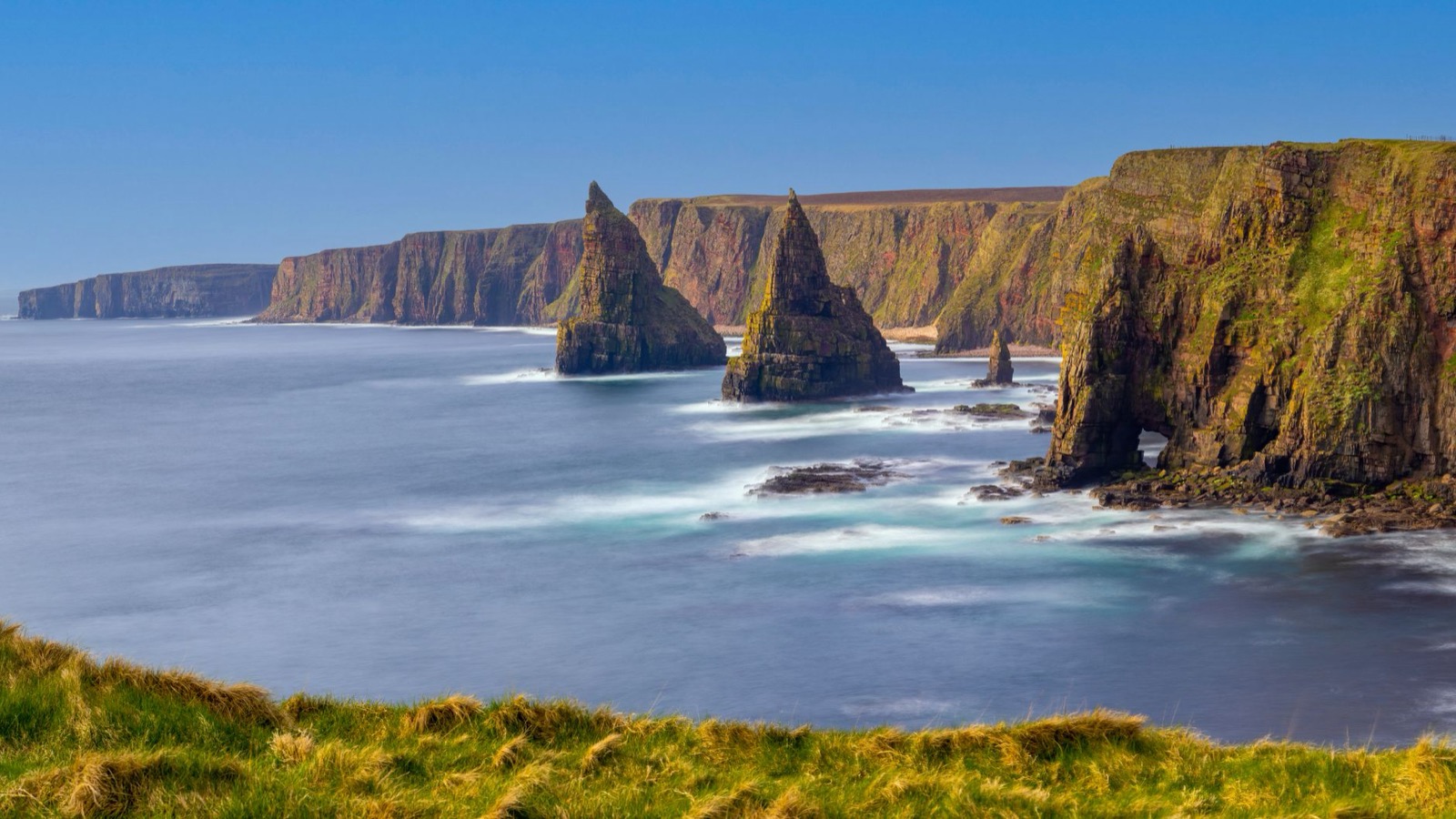
Duncansby Stacks and a sea arch at the north-east corner of the mainland
The A838 runs east round the shore of Loch Eriboll to Tongue, where a waymarked path climbs through birch and heather to Castle Varrich in about 30 minutes. The ruined tower looks over the Kyle of Tongue to Ben Loyal.
Then comes the longest leg of the day, about an hour and a half along the north coast to Dunnet Head, the mainland's northern tip. Its sandstone cliffs carry a lighthouse and look across the Pentland Firth to Hoy, and puffins nest on the ledges from late spring to midsummer.
The Castle of Mey, a few minutes east, was the late Queen Mother's summer home and keeps her furniture, paintings and everyday belongings, shown on guided tours. It closes for a short spell each summer, so check its opening dates before you drive out.
John o' Groats is a cluster of houses round a small harbour, and the white signpost is the photograph. Duncansby Stacks are a short drive east, where a grass path from the lighthouse reaches the main viewpoint in 15 to 20 minutes.
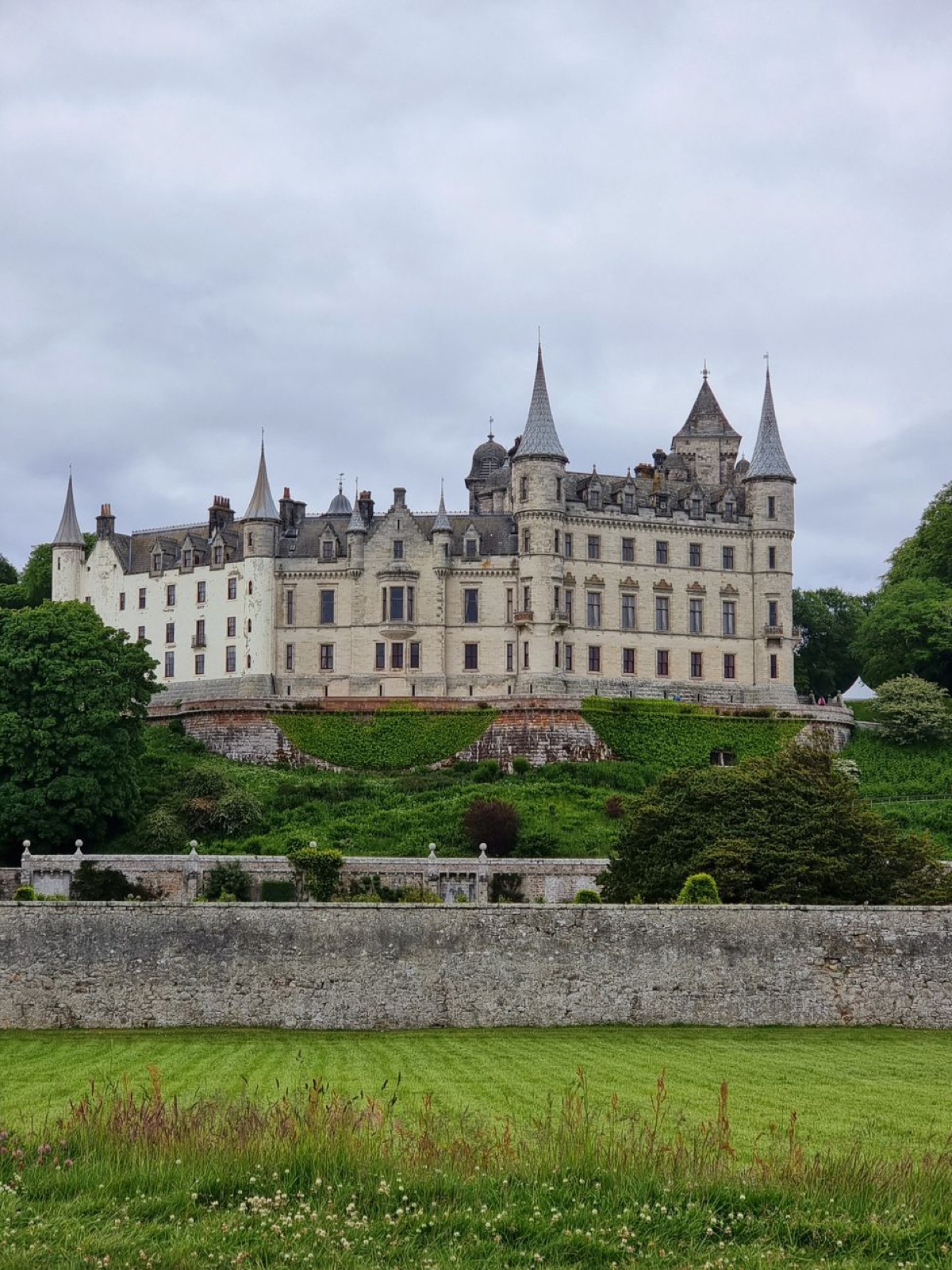
Dunrobin Castle above its terraced gardens
The A99 runs south through Wick to the Whaligoe Steps, hundreds of stone steps zigzagging down a sheer cliff to a tiny natural harbour. Parking at the top is limited, and the climb back up is steep and slippery when wet.
From the drive, Dunrobin Castle looks like a French château, its towers ending in tall conical spires. Arrive in time for the falconry on the lawn at 11.30am, then walk the rooms and go down to the parterres; the museum keeps shorter hours than the castle, and the whole estate is closed from November to March.
Dornoch is about half an hour on, a small sandstone town on its firth, and its cathedral on the square still serves as the parish church. Inverness Airport is about an hour away for the flight home on the eighth morning.
Seven days drives the North Coast 500 with an hour or more at most stops and a different bed every night. With fewer, the single-track west coast eats into the stops; with more, add a second night in Applecross or Lochinver.
This route covers about 880 km, from Inverness Airport round the west, north and east coasts to Dornoch. That includes the detours to Rubha Reidh, Achmelvich and Duncansby Head.
Inverness to Applecross is about three and a half hours at the wheel, and Durness to John o' Groats a little over three. The first afternoon is under an hour, and the other days run about two.
Inverness, just east of the city, with flights from London and other UK cities. Trains from Edinburgh, Glasgow and London, including the overnight sleeper, reach the city itself.
May to September, the main season, when summer evenings stay light past ten and the castles are open. Midge repellent is advised from June to September.
Yes, in a van no bigger than a standard camper conversion, if you can reverse it a long way on single track; larger motorhomes should reach Applecross by the coast road through Shieldaig. Wild camping rights do not cover any motor vehicle. In a hire car, remember Scotland drives on the left, and ask for an automatic when you book if you want one.
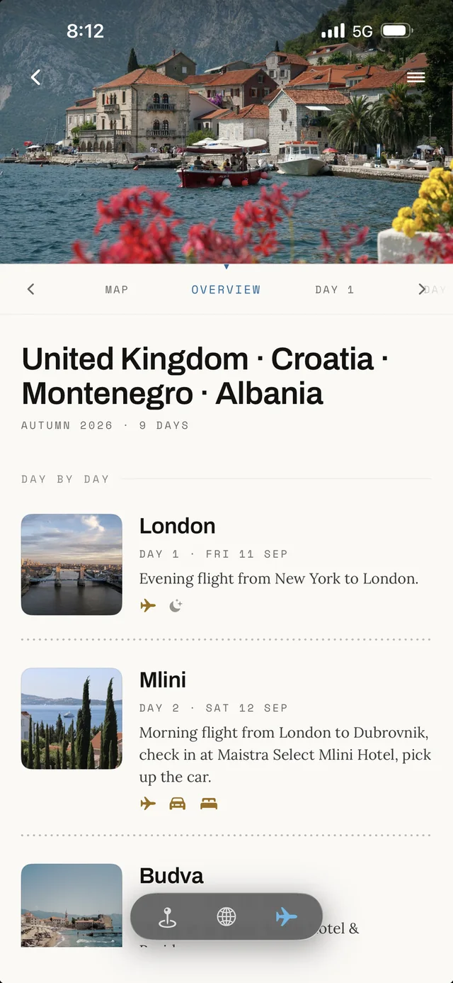
All seven days land in the app's Plan as your own copy, with the bases, the nights and every stop in place, ready to move around.
Last updated