Abbey of Echternach
The abbey's cellars hold a museum of its medieval scriptorium, whose decorated manuscripts were famous all over Europe. The entrance is in the courtyard beside the basilica.
Read the guide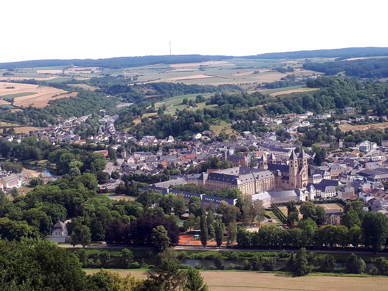
Route 1 of the Mullerthal Trail, a loop of about 37 km, starts in the centre of Echternach and follows the Sûre (Sauer in German) out of town, so you set off on foot with no bus to catch. Wolf's Gorge, narrow sandstone passages in the woods, is a steep climb up from the town centre on the E1 waymarks.
Town guide, Luxembourg. Meridian Dispatch.
Ninety seconds on Echternach
Two nights allows a day in town and one loop of the Mullerthal Trail. Walkers who want the whole network stay longer: the three routes total 112 km.
By bus. Line 201 runs direct from the Kirchberg Luxexpo bus station, and lines 211 and 212 make the trip by way of other villages. Buses, trams and second-class trains are free across Luxembourg.
Spring to early autumn, while the Roman villa beside the lake is open: from the end of March to the end of September. Whit Tuesday, the Tuesday after Pentecost, is the day of the dancing procession.
Luxembourgish, French and German are the three official languages of Luxembourg, Echternach included.
The euro, as everywhere in Luxembourg. Card payment is common; for cash, use a cash machine.
Luxembourg Findel, code LUX, is the nearest airport. Tram line 1 links it to Luxexpo in Kirchberg, where the buses to Echternach leave.
Stay in Echternach if the walking is the point: two loops of the Mullerthal Trail leave from the basilica. For the basilica and Wolf's Gorge in a single day, stay in Luxembourg City and come out on the direct bus.
Echternach is a small, flat town on the Sûre, with Germany on the far bank: the basilica, the abbey and the market square are minutes apart on foot. Two loops of the Mullerthal Trail leave from the basilica into the sandstone woods above the town.
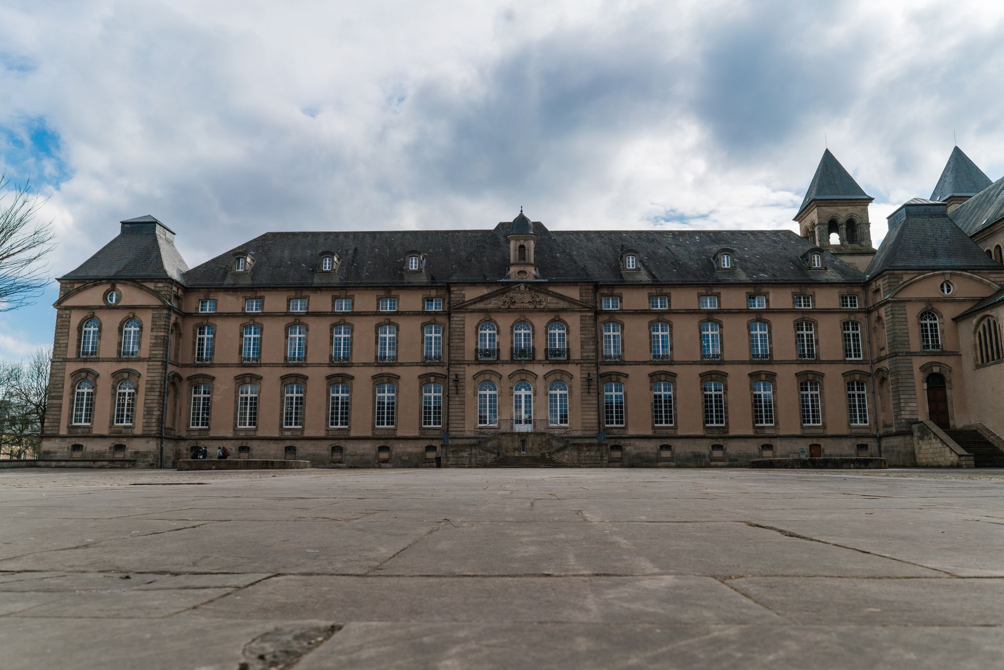
11th century
Sleep in the centre near the basilica, or out by the lake, where the youth hostel stands.
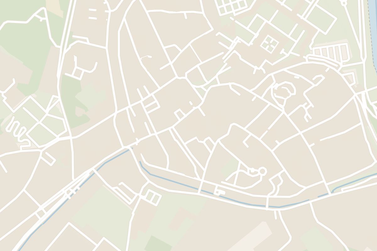 5 min walk from The basilica
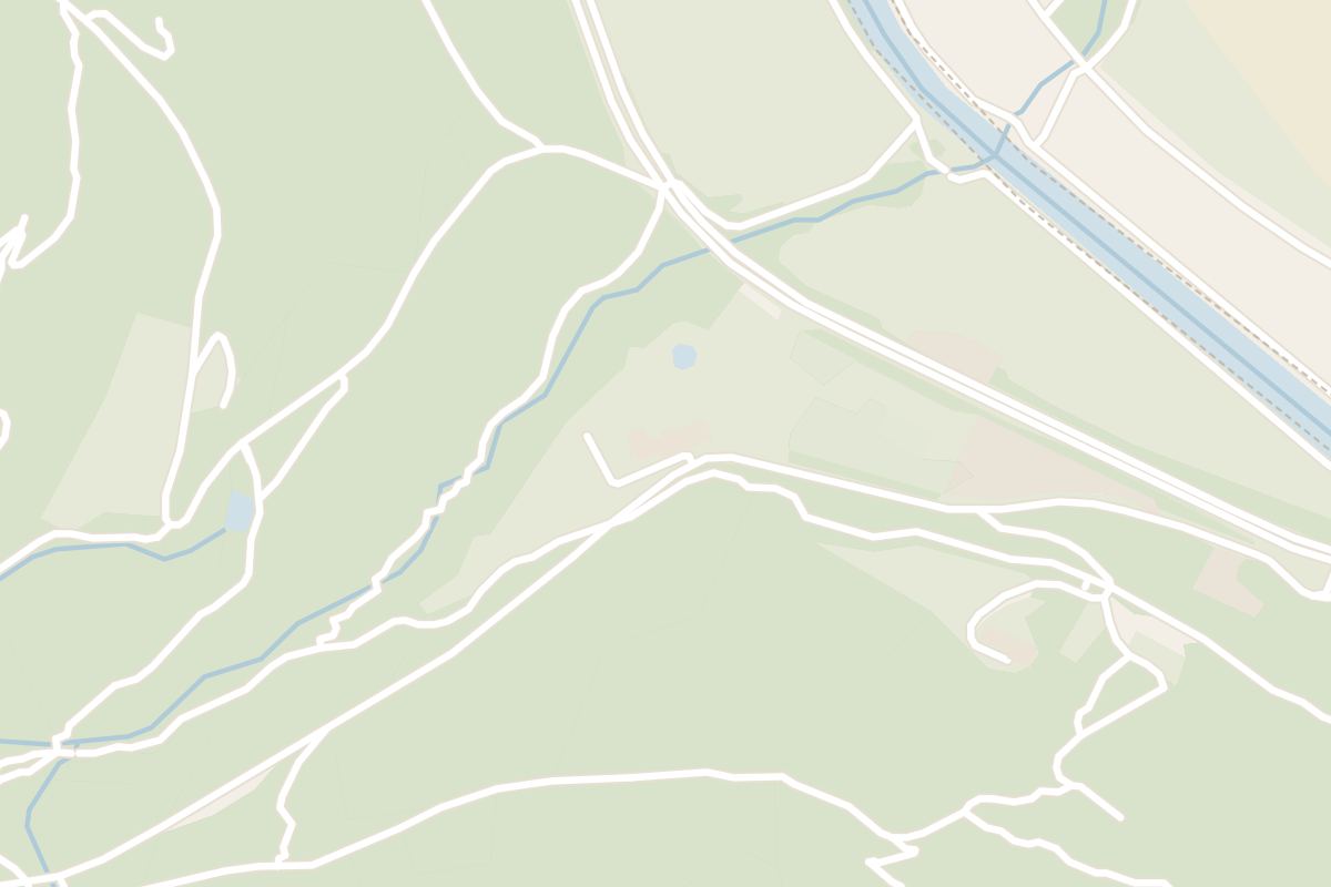 33 min walk from The basilica
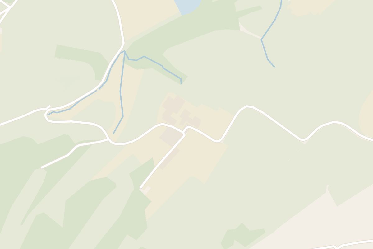 42 min walk from The basilica
Grouped by what each place is for, from the basilica in the centre to the sandstone woods and castles inland.
The basilica, the abbey, the market square, the bridge and the abbey garden are a few minutes apart on foot. The lake and the Roman villa sit at the south edge of town, and the rest lie out in the Mullerthal woods.
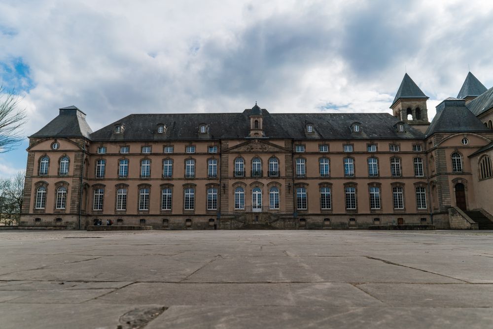
The abbey's cellars hold a museum of its medieval scriptorium, whose decorated manuscripts were famous all over Europe. The entrance is in the courtyard beside the basilica.
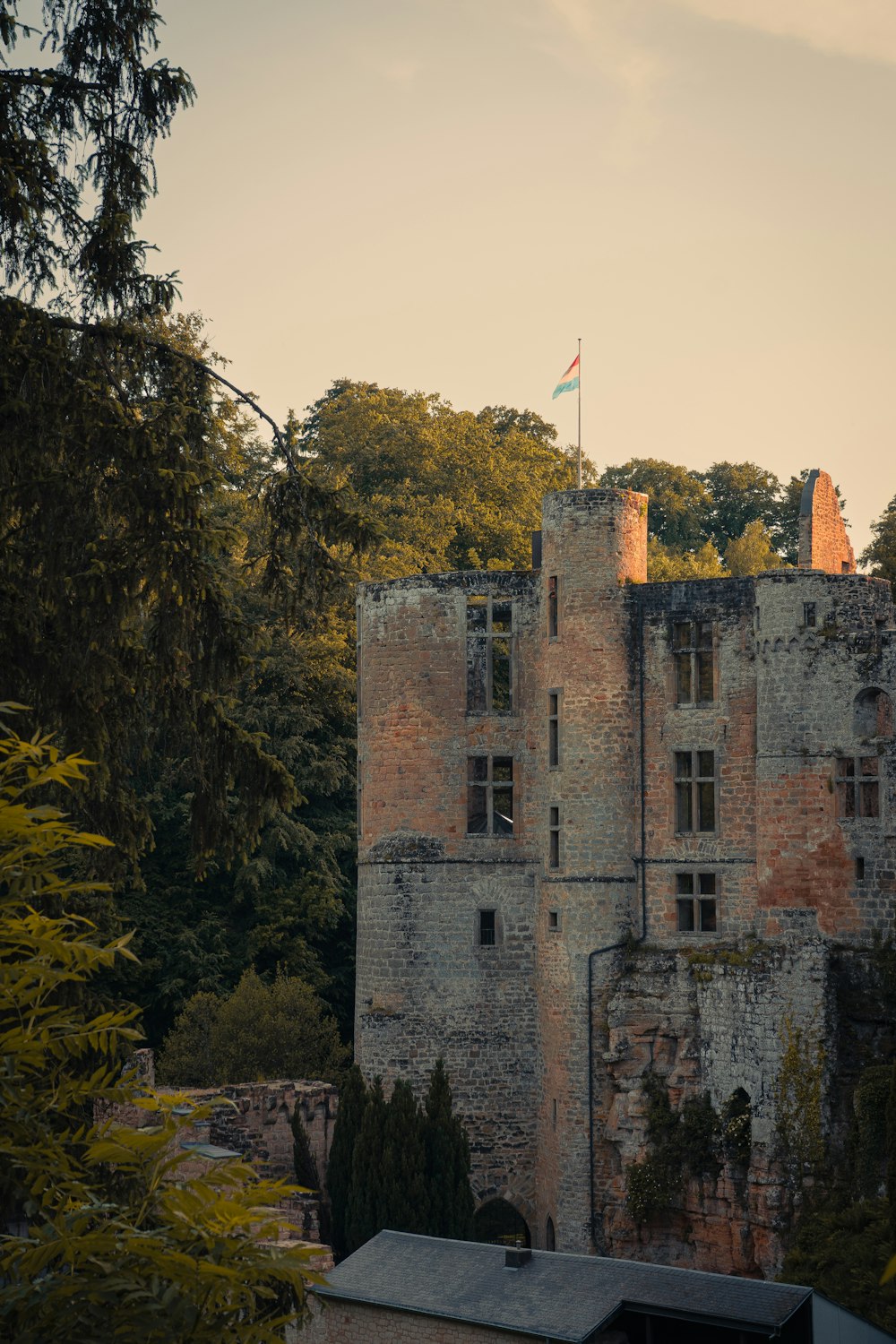
Read the guideAt Beaufort a medieval ruin and the Renaissance home that overlooks it share one site, and the guided tour of the home ends with a tasting of blackcurrant liqueur.
Read the guide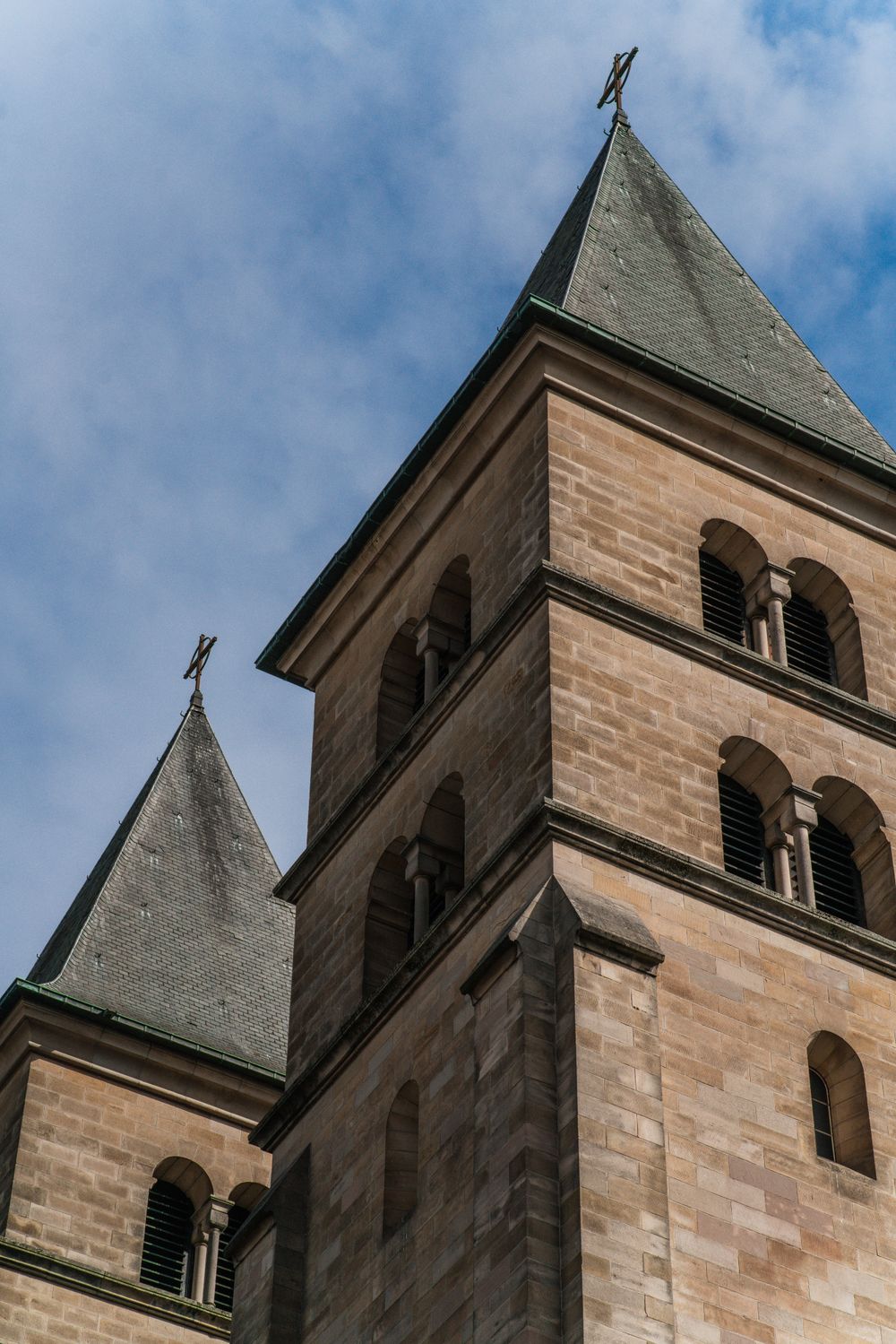
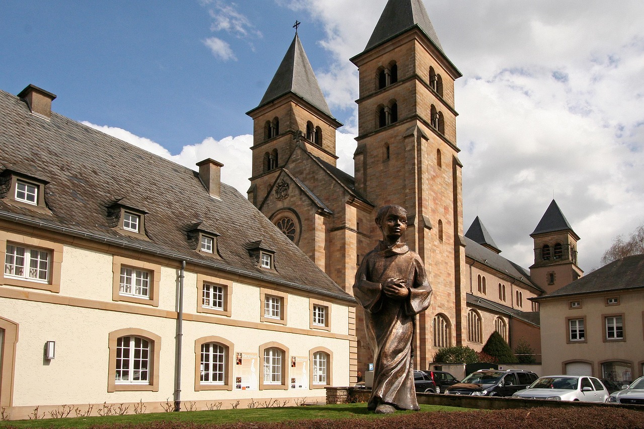
Saint Willibrord's tomb lies in a vaulted Carolingian crypt under the basilica, open to visitors. Upstairs, the rebuilt church is lit by 1950s stained glass.
Read the guide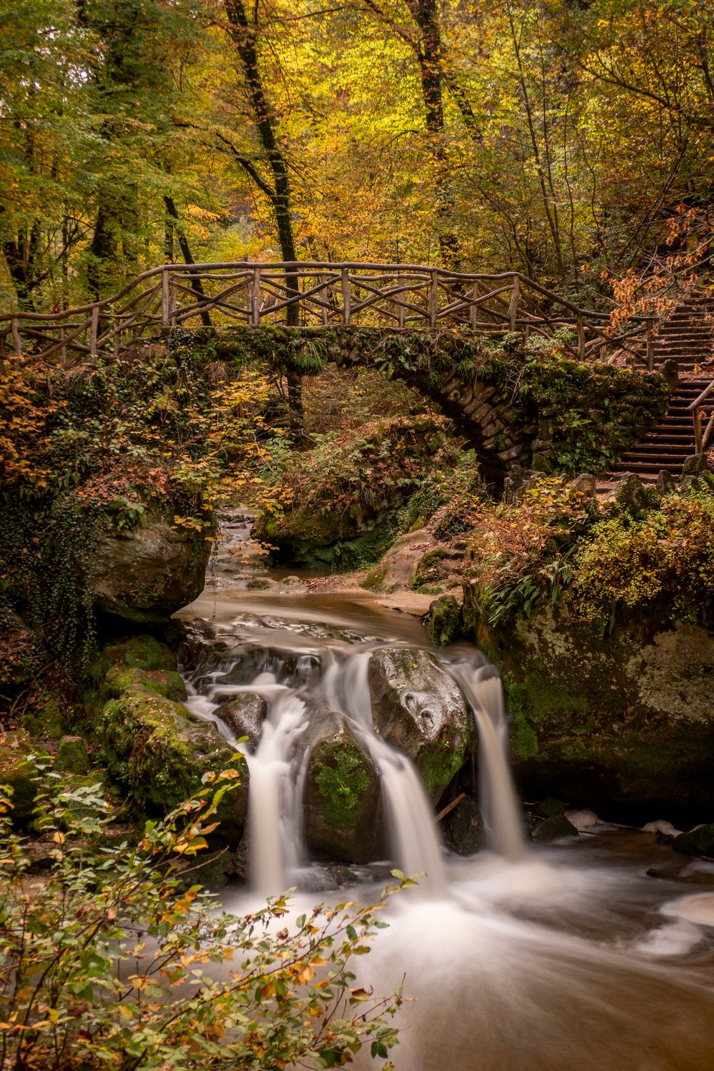
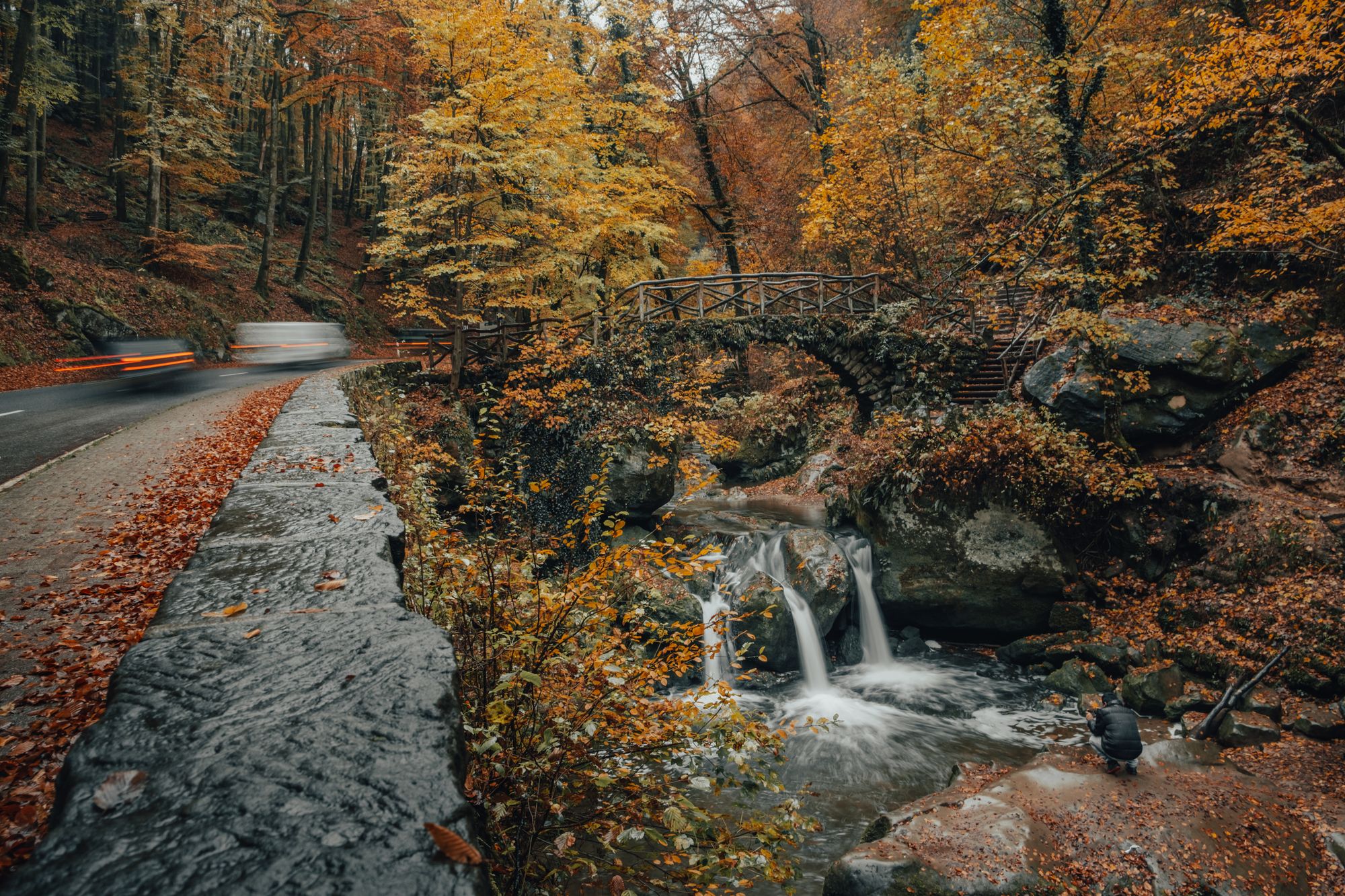
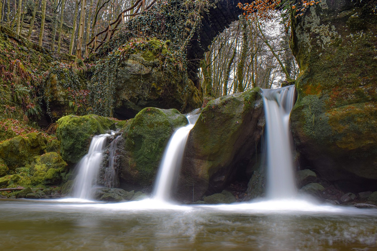
This waterfall spills under a sandstone footbridge on the Black Ernz, outside Müllerthal village, and with its bridge is the landmark of the Mullerthal region. A short walk from the roadside car park brings you right beside the water.
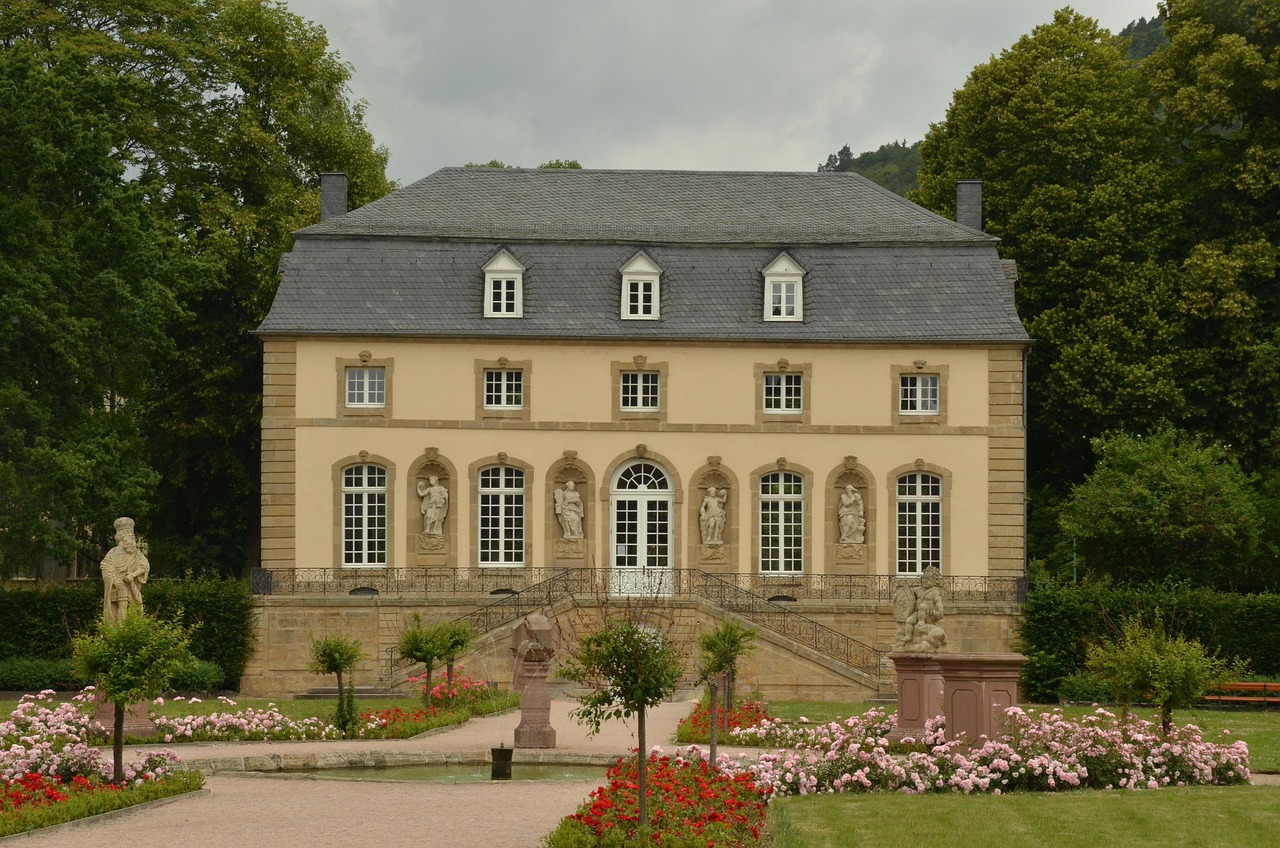
Read the guideBetween the abbey and the Sûre (Sauer in German), formal lawns lead to the abbey's 18th-century Rococo pavilion. One short walk takes in the garden and a stroll by the water.
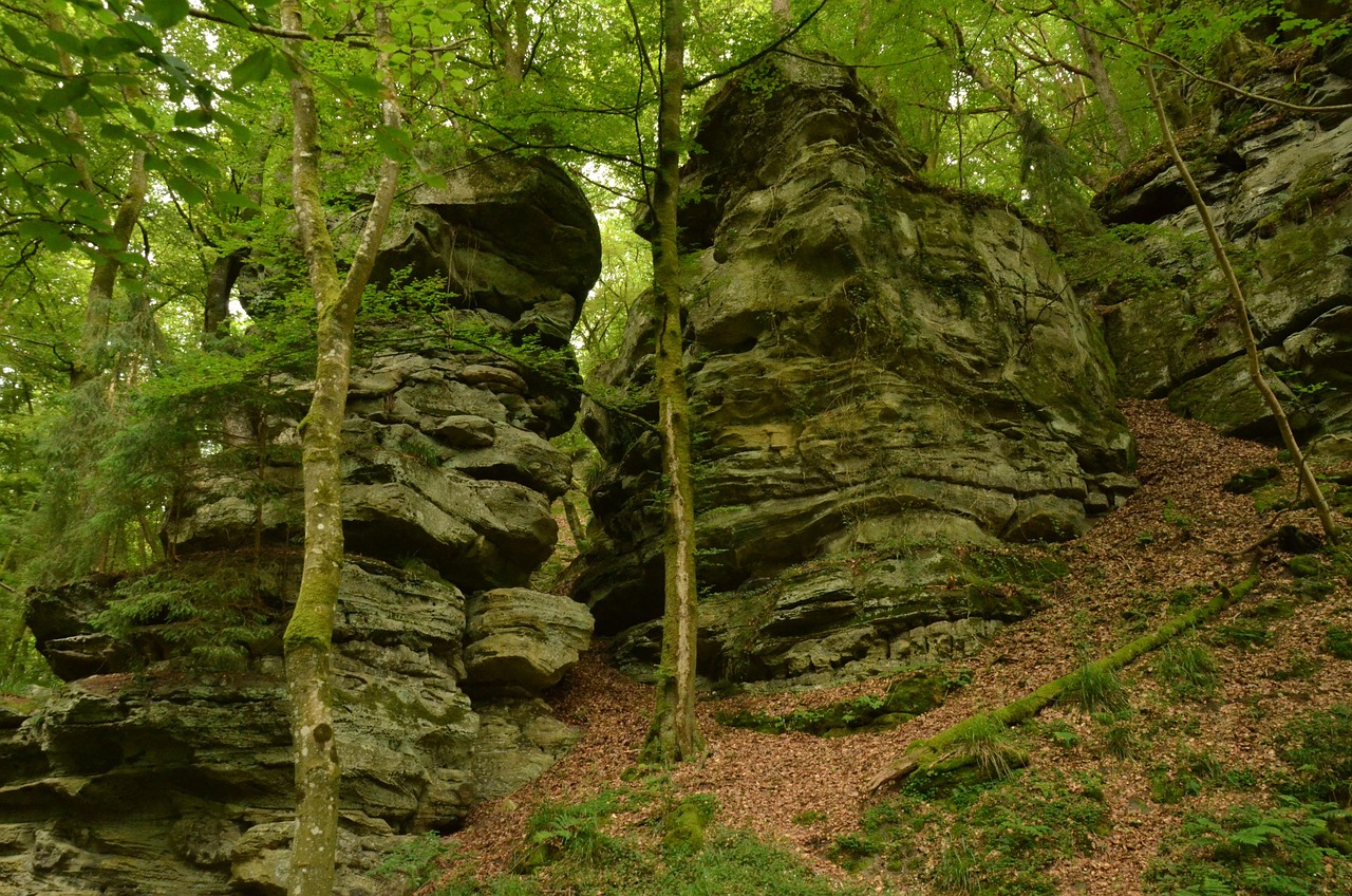
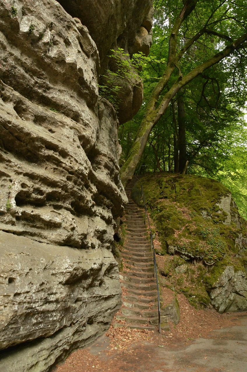
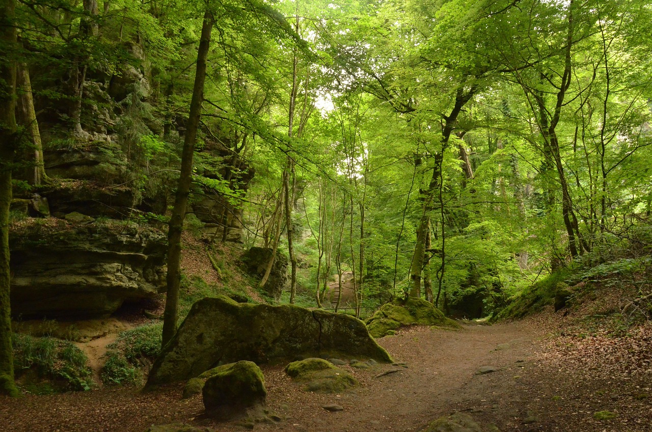
Read the guideClimb out of Echternach on the E1 trail and the path winds straight through the Wolf's Gorge, a narrow cleft in the forest between sandstone walls up to 50 m high.
Read the guideCastle ruins crown the rock above Larochette, and the climb from the town centre ends with views over the rooftops and the Ernz valley.
Read the guideThe arcaded Gothic Dënzelt fronts the market square; step into its arcades, then look up at the statues on its stone front.
Read the guideEchternach's old border bridge carries you on foot into Germany, and its Luxembourg end is where the riverside walk to the abbey's old garden begins.
Read the guideThirty hectares of water at the edge of Luxembourg's oldest town give you a bathing area, pedal boats and paddle boards, and an easy path all the way round.
Read the guideWalk the open foundations of a Roman villa laid out like a palace, beside Echternach Lake, then its replanted Roman garden. In the visitor centre next door, life-size figures show a day in the house.
Read the guideOutside Berdorf, quarrymen cutting millstones hollowed a whole cave out of the sandstone, and the Mullerthal Trail runs right through it. You walk between smooth arched walls marked by circular openings.
Read the guideThree waymarked loops, 112 km in all, thread the sandstone woods and stream valleys of the region. Route 1 leaves the basilica along the Sûre towards Rosport; Route 2 climbs by way of Berdorf to Müllerthal village.
The basilica, the abbey museum and the market square sit side by side in the centre. Entry to the basilica is free.
The abbey's cellars hold a museum of its medieval scriptorium, whose decorated manuscripts were famous all over Europe. The entrance is in the courtyard beside the basilica.
Read the guideSaint Willibrord's tomb lies in a vaulted Carolingian crypt under the basilica, open to visitors. Upstairs, the rebuilt church is lit by 1950s stained glass.
Read the guideThe arcaded Gothic Dënzelt fronts the market square; step into its arcades, then look up at the statues on its stone front.
Read the guideThe old bridge crosses the Sûre into Germany, and a riverside path leads from it to the Rococo pavilion in the abbey garden.
Between the abbey and the Sûre (Sauer in German), formal lawns lead to the abbey's 18th-century Rococo pavilion. One short walk takes in the garden and a stroll by the water.
Read the guideEchternach's old border bridge carries you on foot into Germany, and its Luxembourg end is where the riverside walk to the abbey's old garden begins.
Read the guideBoth are at the south edge of town and share the Nonnemillen bus stop. An easy path runs right round the lake.
Thirty hectares of water at the edge of Luxembourg's oldest town give you a bathing area, pedal boats and paddle boards, and an easy path all the way round.
Read the guideWalk the open foundations of a Roman villa laid out like a palace, beside Echternach Lake, then its replanted Roman garden. In the visitor centre next door, life-size figures show a day in the house.
Read the guideWolf's Gorge lies in the woods above the town, on the E1 waymarks from the basilica. The Hohllay cave stands outside Berdorf, about 5 km west, on Route 2 of the trail.
Climb out of Echternach on the E1 trail and the path winds straight through the Wolf's Gorge, a narrow cleft in the forest between sandstone walls up to 50 m high.
Read the guideOutside Berdorf, quarrymen cutting millstones hollowed a whole cave out of the sandstone, and the Mullerthal Trail runs right through it. You walk between smooth arched walls marked by circular openings.
Read the guideThree waymarked loops, 112 km in all, thread the sandstone woods and stream valleys of the region. Route 1 leaves the basilica along the Sûre towards Rosport; Route 2 climbs by way of Berdorf to Müllerthal village.
The Schiessentümpel falls are near Müllerthal village, about 9 km west of Echternach, and the Hohllay cave is outside Berdorf on the way.
This waterfall spills under a sandstone footbridge on the Black Ernz, outside Müllerthal village, and with its bridge is the landmark of the Mullerthal region. A short walk from the roadside car park brings you right beside the water.
Read the guideOutside Berdorf, quarrymen cutting millstones hollowed a whole cave out of the sandstone, and the Mullerthal Trail runs right through it. You walk between smooth arched walls marked by circular openings.
Read the guideBeaufort Castle is about 10 km west of Echternach and Larochette about 15 km southwest. At Beaufort the nearest bus stop, Härewiss, is 700 m from the castle; at Larochette, Spuerkeess is 300 m below it.
At Beaufort a medieval ruin and the Renaissance home that overlooks it share one site, and the guided tour of the home ends with a tasting of blackcurrant liqueur.
Read the guideCastle ruins crown the rock above Larochette, and the climb from the town centre ends with views over the rooftops and the Ernz valley.
Read the guideStart at the Basilica of Saint Willibrord. Walk the nave slowly towards the choir, reading the stained glass as you go, then go down to the crypt, where the saint's tomb lies under barrel vaults from around 800.
The Abbey of Echternach museum has its entrance in the courtyard next door. Its rooms are all below ground, so take the stairs down and start with the scriptorium, shown in facsimiles of gospels written in gold ink. Bring an identity card if you want the audio guide.
Cross the abbey grounds to Place du Marché and the Dënzelt, the old court house. See its front from across the square first, then step into the open hall under the pointed arches.
Follow Rue de la Sûre to the Old Echternach Bridge and walk out to the German bank. On the way back, take the path down from Rue du Pont and turn left along the river to the Rococo pavilion in the abbey garden.
For the afternoon, follow the E1 waymarks from the basilica out along Halergaass and steeply up to Wolf's Gorge. The path winds through the cleft, with steps climbing either side. Wear shoes with grip: the rock steps turn slippery in rain.
With a second day, take the bus to the Nonnemillen stop. Start in the visitor centre of the Roman Villa, walk its foundations and garden, then follow the shore path round Echternach Lake.
Luxembourg's one airport is at Findel, southwest of Echternach. The way in is a tram to Kirchberg, then a bus.

Take tram line 1 from the airport tram stop to Luxexpo, at the top of the Kirchberg plateau. From the bus station there, bus 201 is the direct line to Echternach; get off at Lycée, a 500 m walk from the basilica.
Lines 211 and 212 leave from the same Luxexpo bus station and stop in several villages on the way, so the ride is longer.
Travel needs no ticket, but carry an identity document: a conductor can ask to see one at any time.
Every Luxembourg town, place and dispatch, on one map.

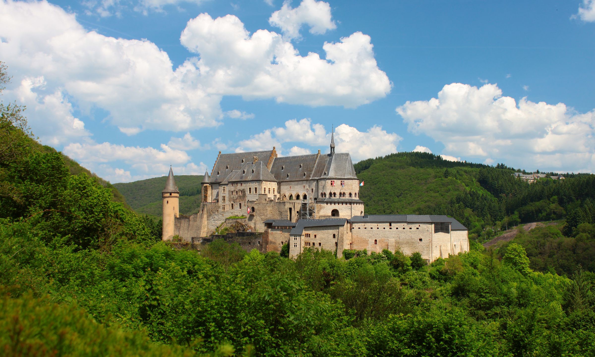
A steep main street climbs from the river Our to a restored hilltop castle in this small town on the German border.

One of the largest fortified castles west of the Rhine stands on the hilltop above Vianden.

A riverside wine town on the Moselle, facing Germany across the water, with a long promenade and boat departures from its quay.

It is the German war cemetery of the Ardennes winter of 1944 to 1945: stone crosses in 18 lawned blocks outside Sandweiler.
The official pages this guide was checked against.
Last updated