
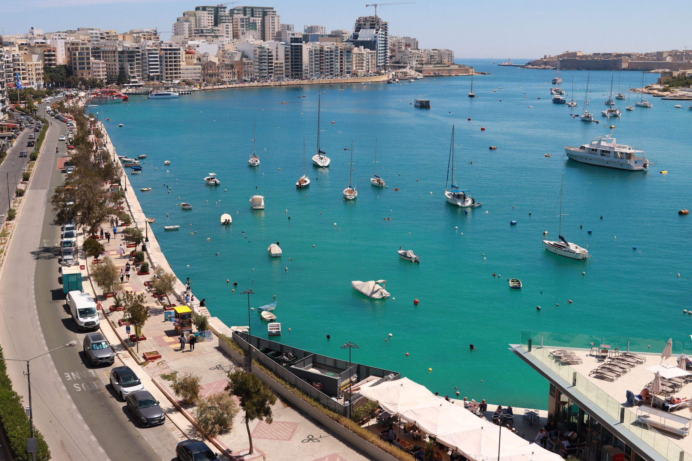
A shore walk from Gżira runs beside the walls of a star fort on this 30-hectare island, with Valletta's bastions facing you across Marsamxett.
Island, Sliema. Meridian Dispatch.
Yes. The island is free to visit from sunrise to sunset, and the coastal path along its shore is open to walk, past the walls of Fort Manoel and the yacht marina.
By a small bridge on the Gżira waterfront, where the Strand begins. It is an easy walk or cycle along the seafront from Sliema, or from Valletta.
The full loop of about 1.5 km takes 45 to 60 minutes at a relaxed pace, and longer with a swim or time spent at the fort.
Usually not. Fort Manoel has no regular opening hours, and access has been by occasional open days. One listing still gives fixed hours from Tuesday to Sunday, so plan on seeing the fort from the outside unless an open day is announced.
Trainers or sturdy sandals work best, since the shore path is uneven underfoot in places. Bring water and sunscreen for the walk round the island.
It is meant to become one. On 13 May 2026, after approval by the House of Representatives and by MIDI's shareholders, a public deed between the Government of Malta, Transport Malta and MIDI ended the concession over Manoel Island and Fort Tigné and returned them to the Government.
Manoel Island is a small island in Marsamxett Harbour, between Sliema and Valletta. It belongs to Gżira, the town on the shore facing it, and older maps call it Bishop's Island.
Fort Manoel, a star-shaped fort, is the landmark you notice first. It takes its name from Grand Master António Manoel de Vilhena, and so does the island.
The Lazzaretto, a quarantine hospital that kept plague and cholera carried by ships out of Malta, is older than the fort. Parts of it still stand on the island, and the oldest surviving building dates from 1643.
Today the island is chiefly known for its yacht facilities: a yacht marina and a yacht yard take up part of the shore.
Flat limestone shelves run below Fort Manoel's south and west walls and drop into clear water. The coastal path reaches them from the Gżira end of the island and keeps to the public shore, with a close look at the fort walls.
The shelves are used for a swim when conditions suit, so bring a towel on a calm day. The path then carries on along the scenic coast, with views across the harbour to Valletta and back towards Sliema.
For the whole shape of the island, walk the Gżira promenade afterwards. It looks out over Manoel Island across the water, which shows you the fort and the shore you have just walked.
The Sliema to Valletta ferry passes the fort, so you see all of it from the water.
Stay a short boat ride from Valletta, and swim off the Tower Road rocks the same afternoon.
Read the Sliema guideExplore the rest of Sliema
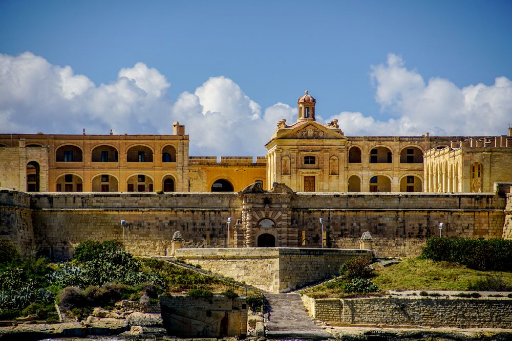
This Baroque star fort of the 1720s commands Marsamxett Harbour from Manoel Island, and it served as a Game of Thrones filming location.…
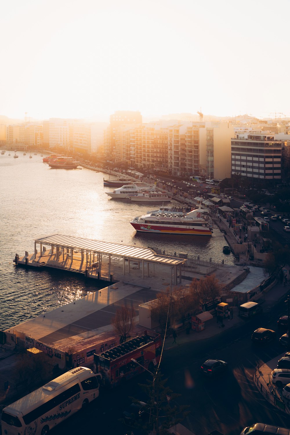
A short catamaran crossing from The Strand lands at Marsamxett on the Valletta side, the quickest way from Sliema into the capital.…
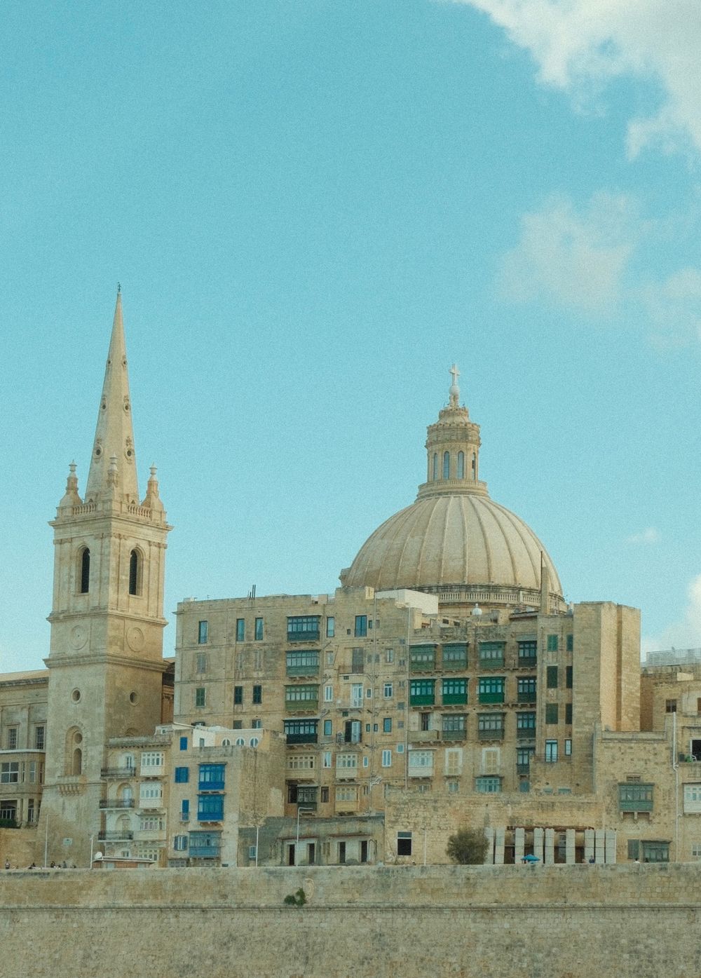
A tall spire marks this Anglican cathedral on Independence Square and anchors the Marsamxett skyline. The neoclassical interior is plain,…
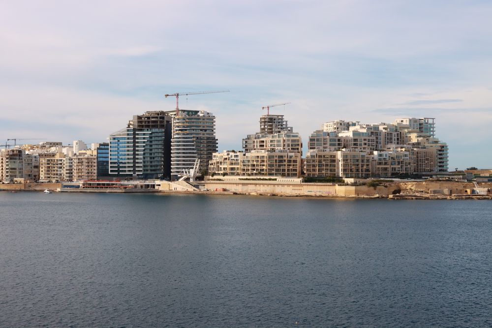
At the end of the Sliema peninsula, a pedestrian promenade wraps around Tigné Point with views across Marsamxett Harbour to the Valletta…
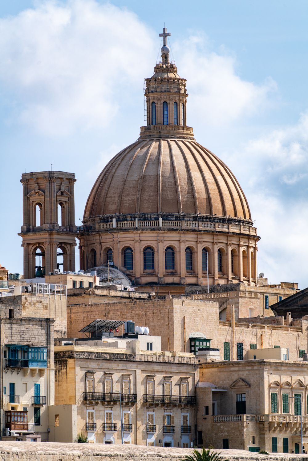
Seen from Sliema, the great dome of this basilica rises above the Marsamxett bastions and dominates the city's skyline. Rebuilt after…
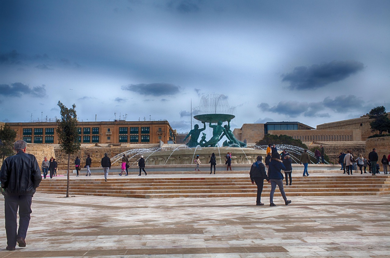
Three bronze tritons hold up a wide basin in the middle of the plaza outside City Gate, beside the bus terminus. Restored in 2018, the…
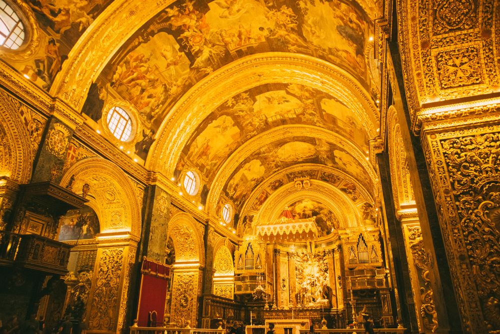

Behind a plain, almost military facade, every surface of the interior is carved, gilded or painted, and the floor is a patchwork of around…
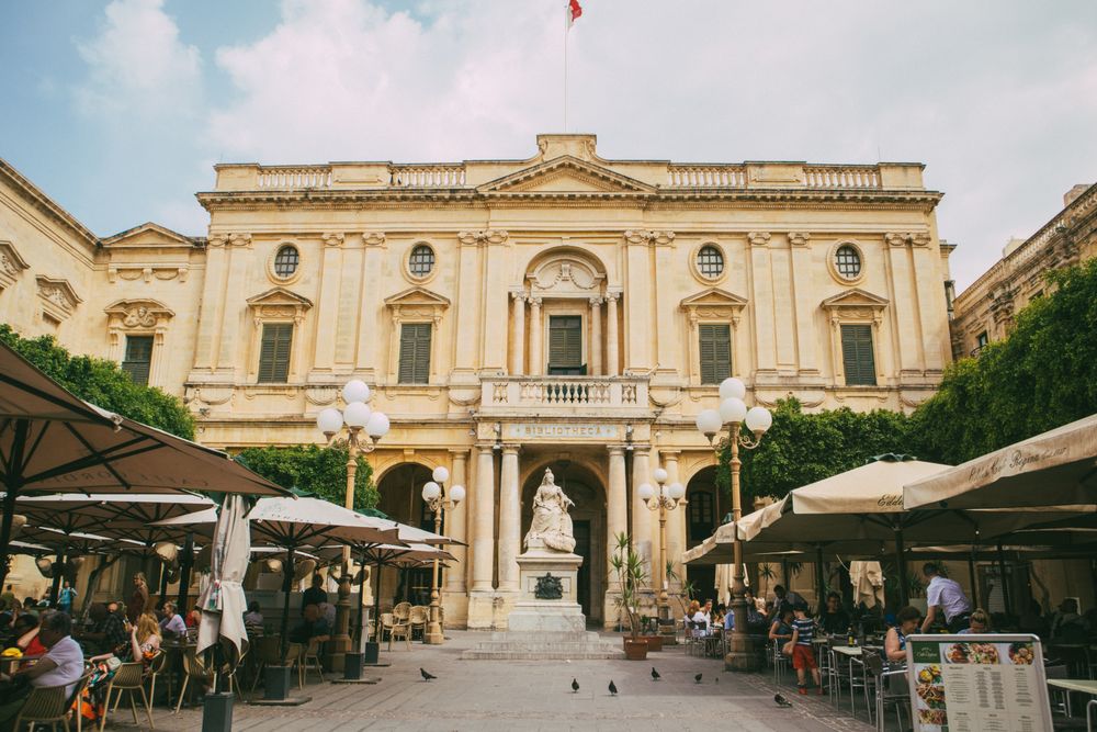
Founded in 1776, the Bibliotheca keeps the archives of the Order of St John in a neoclassical building on Republic Square. It is a working…




Save Manoel Island to your Malta trip in the Meridian Dispatch app and build the day around it, with the best of Sliema pinned on one map.
Download on the App StoreLast updated