
Fort Tigné and two British gun batteries hold this headland, so you get restored fortifications with Valletta straight across the water and Malta's largest shopping mall behind them.
Waterfront, Sliema. Meridian Dispatch.
Yes. The Sliema-Valletta ferry crosses Marsamxett Harbour to Sliema Ferries, about a 10-minute walk from the point. The ferry operator lists that from November to May, the service on Sundays and public holidays runs from 08:45 to 18:30, so check the timetable before planning a sunset crossing back.
Visitors report street parking and a dedicated car park close by. The Valletta ferry and the short walk in from central Sliema both avoid the need for a car.
Cafés and restaurants ring Pjazza Tigné, and more line the foreshore at the end of the promenade. Visitors report that most open from morning until late evening, each to its own hours.
Tigné Point is the tip of the Sliema peninsula, a headland with Marsamxett Harbour on one side and the open Mediterranean on the other. Its south side faces Valletta directly across the water. The very tip still goes by the name Dragut Point.
Restored fortifications line the shore. Fort Tigné was built by the Order of St John in 1792 to strengthen the defence of the harbour and the capital.
The Garden Battery's British gun emplacements run along the coast between the fort and Cambridge Battery, its neighbour on the point.
Behind the waterfront stands The Point, the biggest shopping complex on the island, with residential apartments at the tip. Pjazza Tigné, an open square, sits beside the mall.
From the Sliema Ferries landing, where the Valletta boat docks, follow the pedestrian belvedere along the south side of the point to the foreshore restaurants.
Then cut inland to Pjazza Tigné. The mall entrance, the cafés and the route towards the fort and the shoreline all lead off the square.
See the fort and battery edge while the light is good, then eat on the square as the day cools. To carry on, follow Sliema Front, the town's promenade, to St Julian's, about 40 minutes on foot.
For a swim, the development points to sea access off the headland at Tigné South. In summer, the beach clubs along the Qui-si-Sana shoreline, a short walk north, add pools and steps down to rocky shores.
Heading on to Qui-si-Sana, use the dual carriageway and tunnel from the Tigné seafront: they shorten the route along the peninsula's southern edge, by car or on foot.
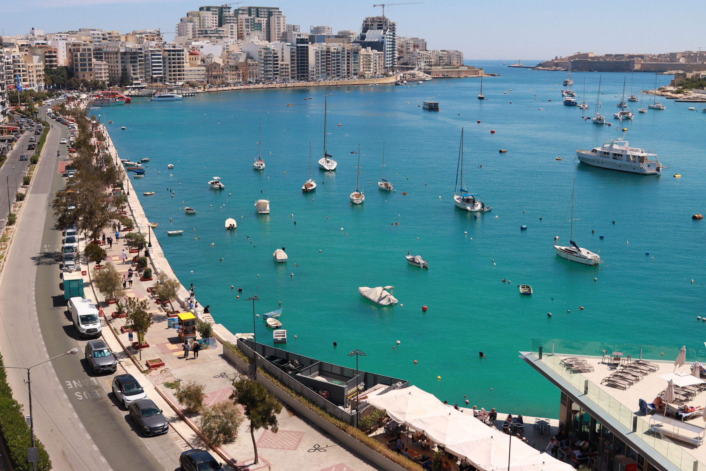
Stay a short boat ride from Valletta, and swim off the Tower Road rocks the same afternoon.
Read the Sliema guideExplore the rest of Sliema
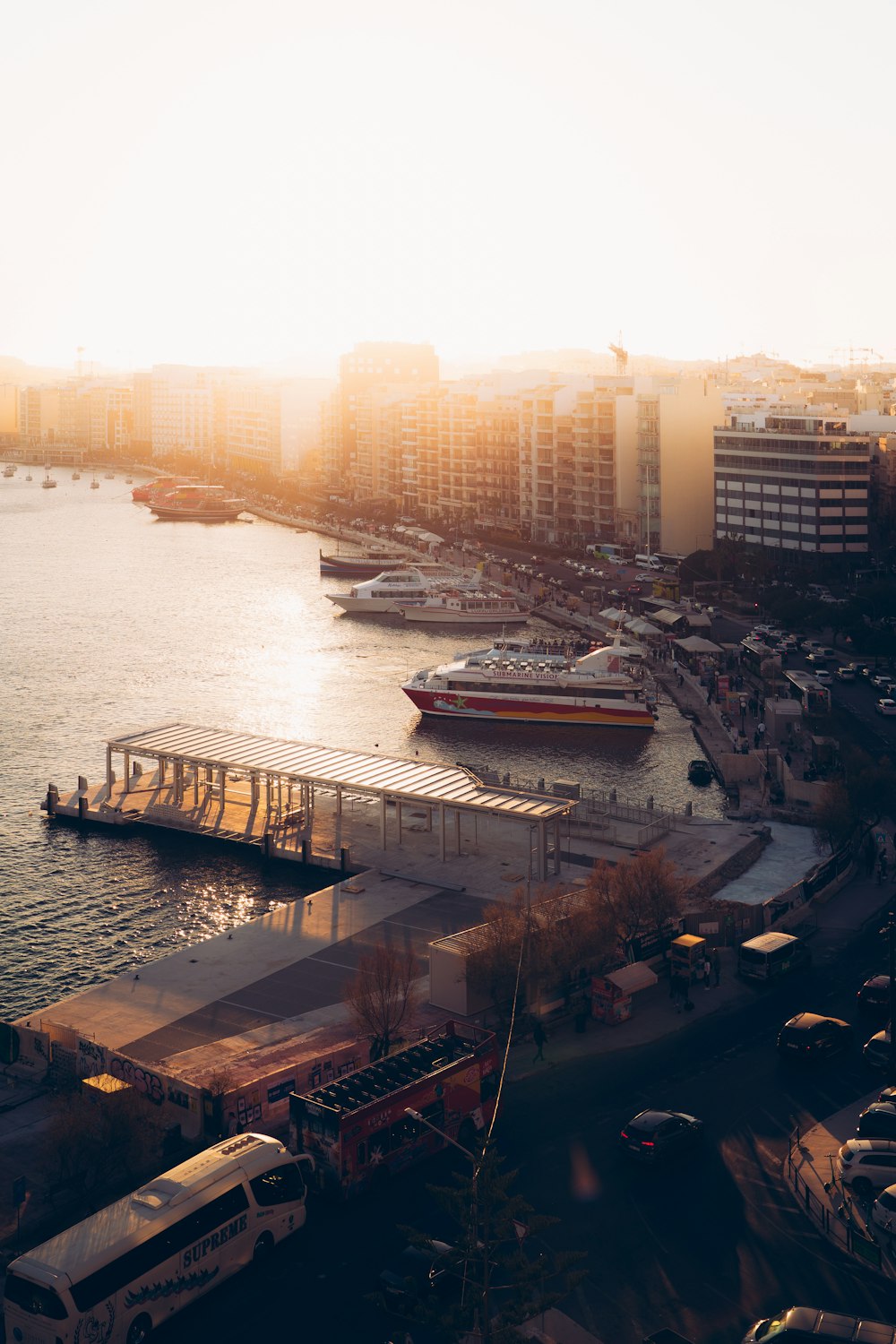
A short catamaran crossing from The Strand lands at Marsamxett on the Valletta side, the quickest way from Sliema into the capital.…
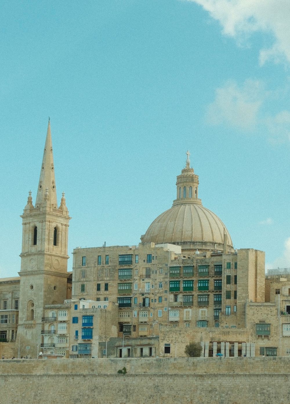
A tall spire marks this Anglican cathedral on Independence Square and anchors the Marsamxett skyline. The neoclassical interior is plain,…
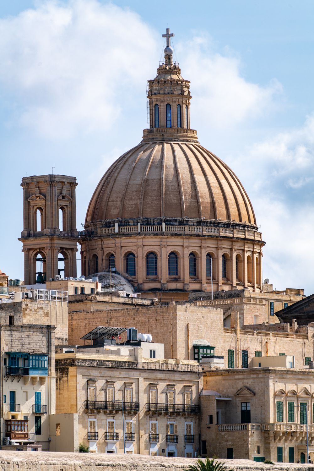
Seen from Sliema, the great dome of this basilica rises above the Marsamxett bastions and dominates the city's skyline. Rebuilt after…
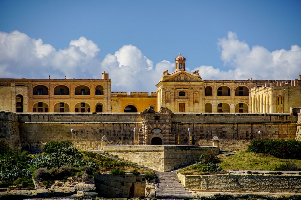
This Baroque star fort of the 1720s commands Marsamxett Harbour from Manoel Island, and it served as a Game of Thrones filming location.…
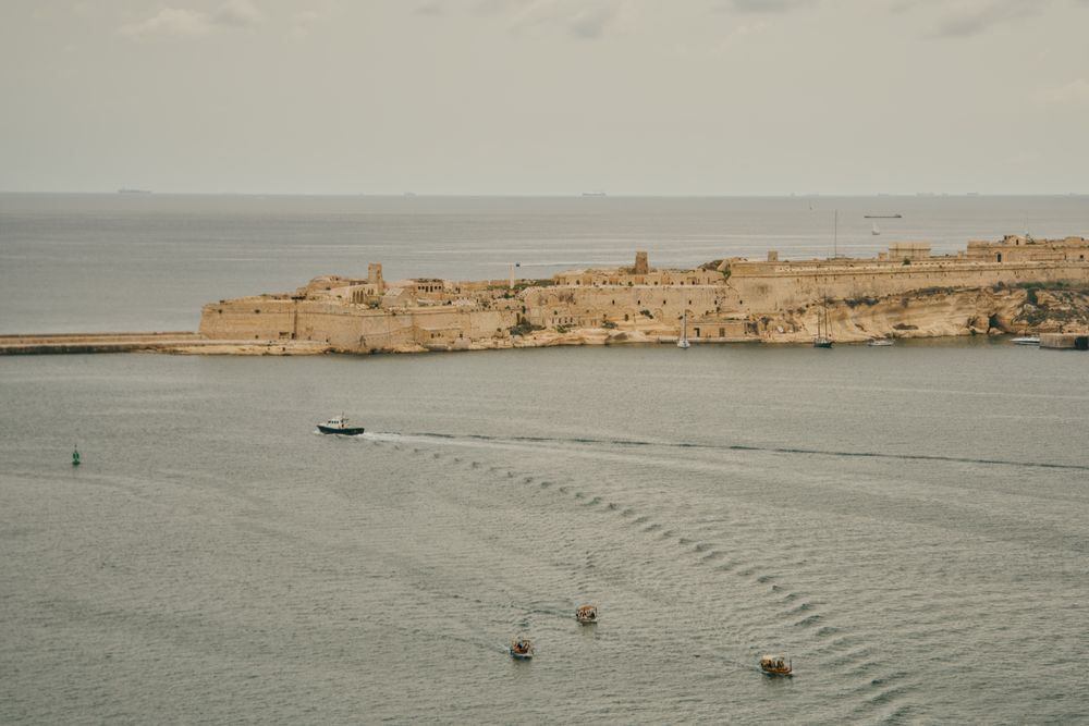
Fort St Elmo is a star-shaped fort on Mediterranean Street in Valletta, one of the sites run by Heritage Malta. Its interior holds the…
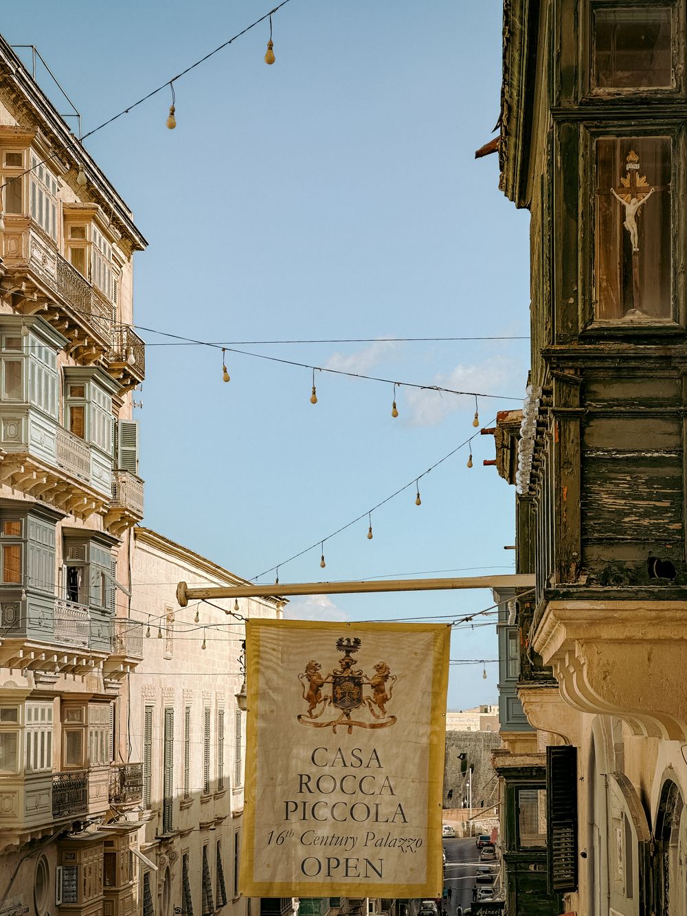
A noble family still lives in this palazzo on Republic Street, and guided tours lead through its furnished rooms, chapel and collections of…
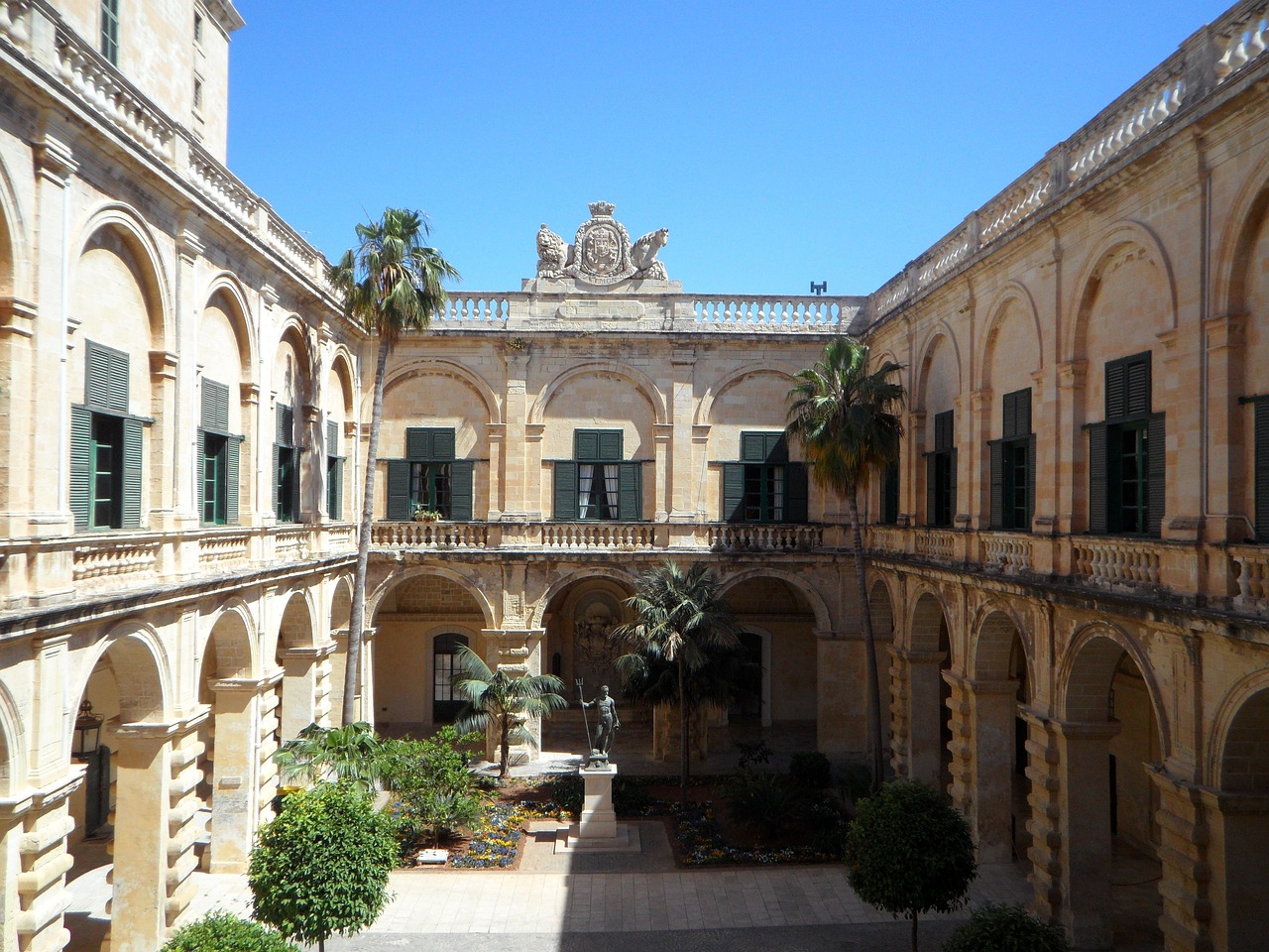
The restored State Rooms, under Baroque painted ceilings and over marble floors, and the Palace Armoury, with its suits of armour and…
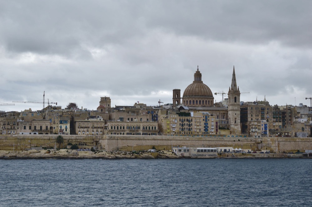
Built on a narrow peninsula between two harbours, the capital packs churches, auberges and bastions into a grid walkable end to end in…
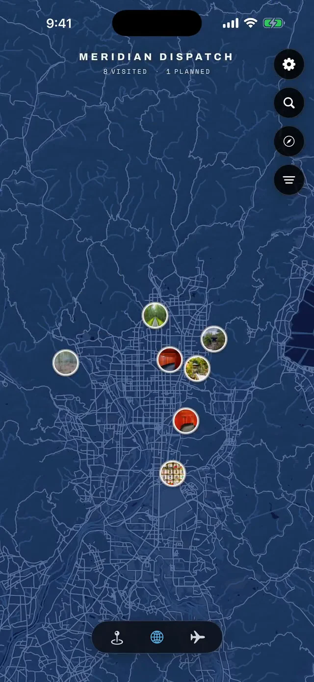
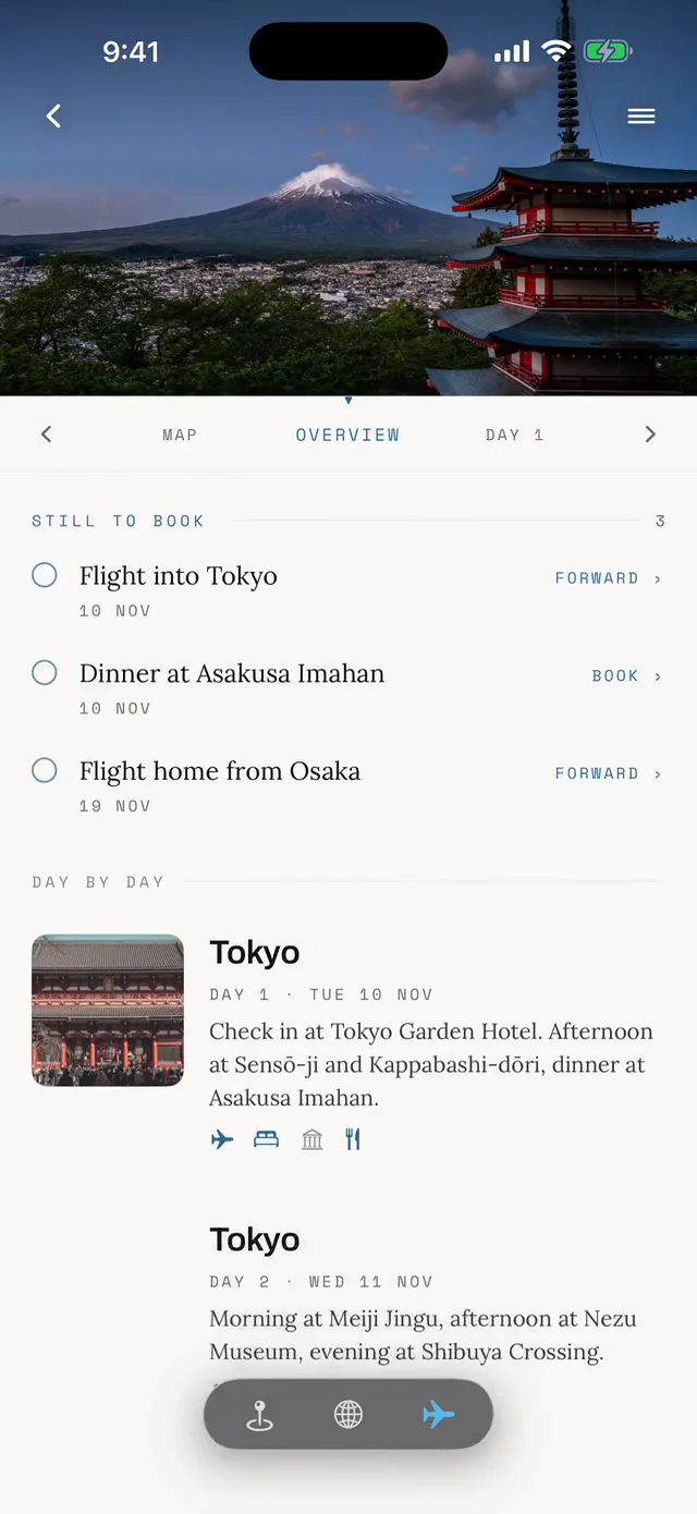


Save Tigné Point to your Malta trip in the Meridian Dispatch app and build the day around it, with the best of Sliema pinned on one map.
Download on the App StoreLast updated