
Walk Sliema's seafront in the late afternoon, from the view of Valletta's bastions across Marsamxett Harbour to sunset at the St Julian's end, with clear water off the rocks for a swim between.
Waterfront, Sliema. Meridian Dispatch.
The promenade runs about 2 km, from the tip of Qui-Si-Sana to the neighbouring town of St Julian's. It is a seaside walk, and the way back to central Sliema follows the same route.
Off the rocks, by ladder. Tigné Point has the broadest platforms, and Exiles Bay, on the St Julian's border, is a proper local swimming spot.
A ferry crosses Marsamxett Harbour between Valletta and Sliema in about five minutes, with Manoel Island in view on the way. On the Sliema side it serves the central and Tigné Point end of the front.
The promenade looks across Marsamxett Harbour to Valletta. At The Point, you can get down from the bridge to the sea below, with the capital straight across the water.
Along the way stand one of Grandmaster De Redin's 17th century coastal watchtowers and Il-Fortizza (The Fortress), a British military building that is now a restaurant. The British fortified the peninsula in the 19th century.
The shore also has artificial baths, pools in the sea of the kind Sydney is known for. A cluster of Art Deco terraced townhouses lines part of the route.
At the St Julian's end, the neo-Gothic Carmelite church of Our Lady of Mount Carmel stands on the seafront at Balluta Bay. Near Exiles Bay, an open-air calisthenics park sits on Tower Road.
Joggers and walkers use the promenade, and in summer it is a busy meeting place for locals.
Start at the tip of Qui-Si-Sana and follow the promenade along Tower Road towards St Julian's. The Valletta ferry docks in central Sliema and at Tigné Point, and road traffic into Sliema is heavy at rush hour, so the boat is the easier way to arrive.
Treat the crossing as part of the outing, not only transport: it puts the bastion walls rising straight from the water in front of you.
On the St Julian's border, Exiles Bay has Independence Gardens right above it, with shade and benches. Beyond, the stretch near Balluta Bay turns quieter and residential. Walk back the same way to central Sliema, which has the ferry and plenty of bus stops.
Bring a towel and swimwear. Sliema's shore is rock, not sand, and this coast is how locals swim: flat platforms for sunbathing, with ladders straight into clear water.
The water is deep from the first rung. Visitor guides advise against letting children swim off these ladders.
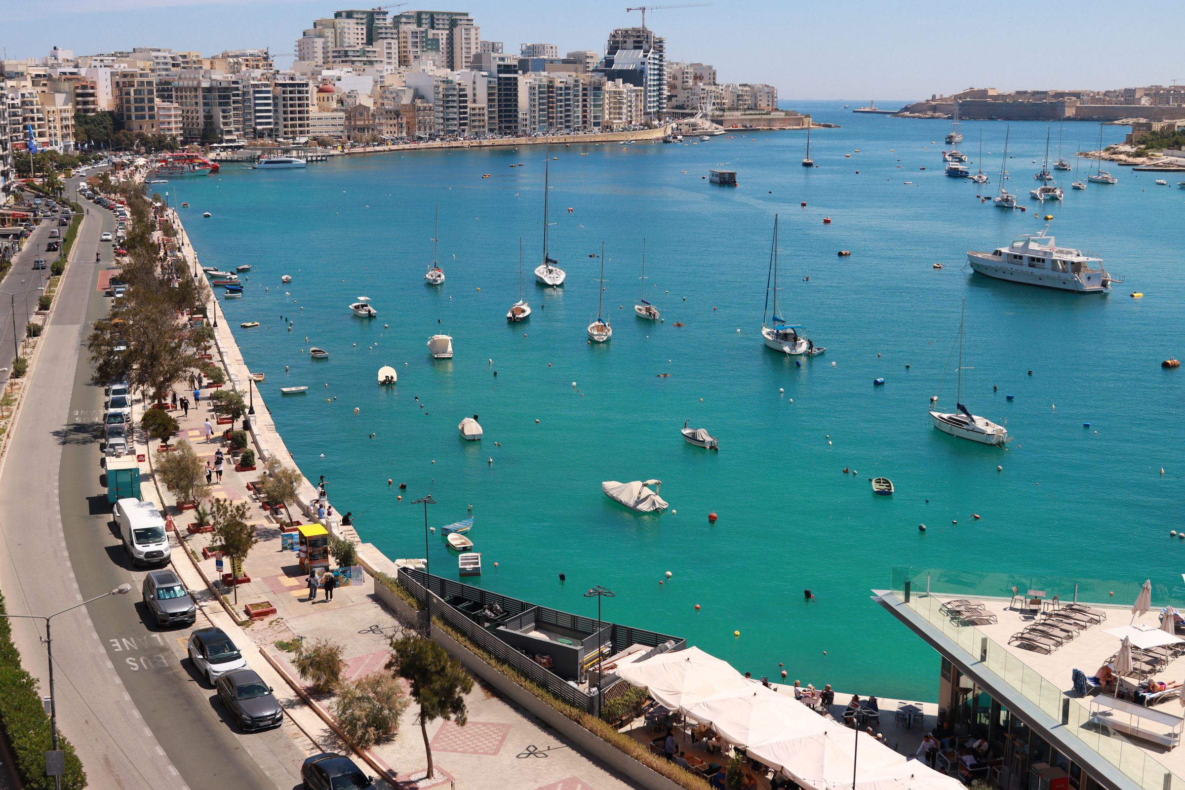
Stay a short boat ride from Valletta, and swim off the Tower Road rocks the same afternoon.
Read the Sliema guideExplore the rest of Sliema
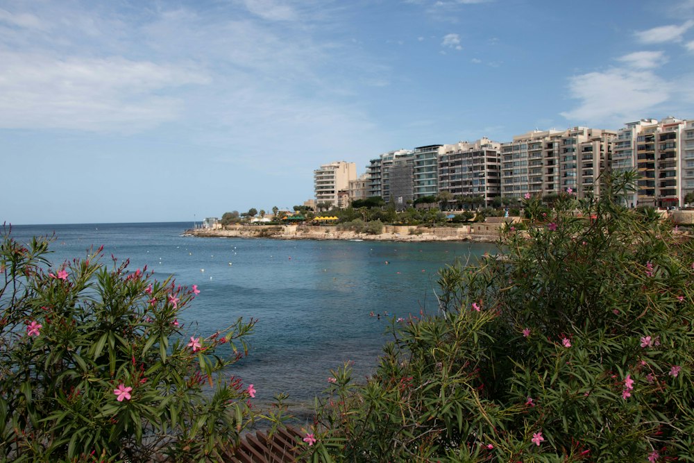
Swimmers at Exiles climb down ladders off flat rock straight into deep water, where the Sliema promenade meets St Julian's. A ticketed lido…
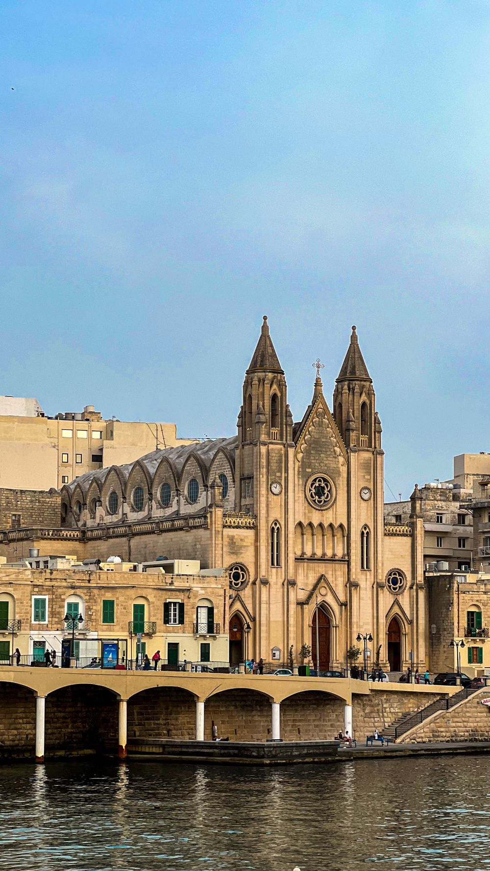
The neo-Gothic parish church of Our Lady of Mount Carmel stands above Balluta Bay, where St Julian's meets Sliema. Its choir is lit by five…
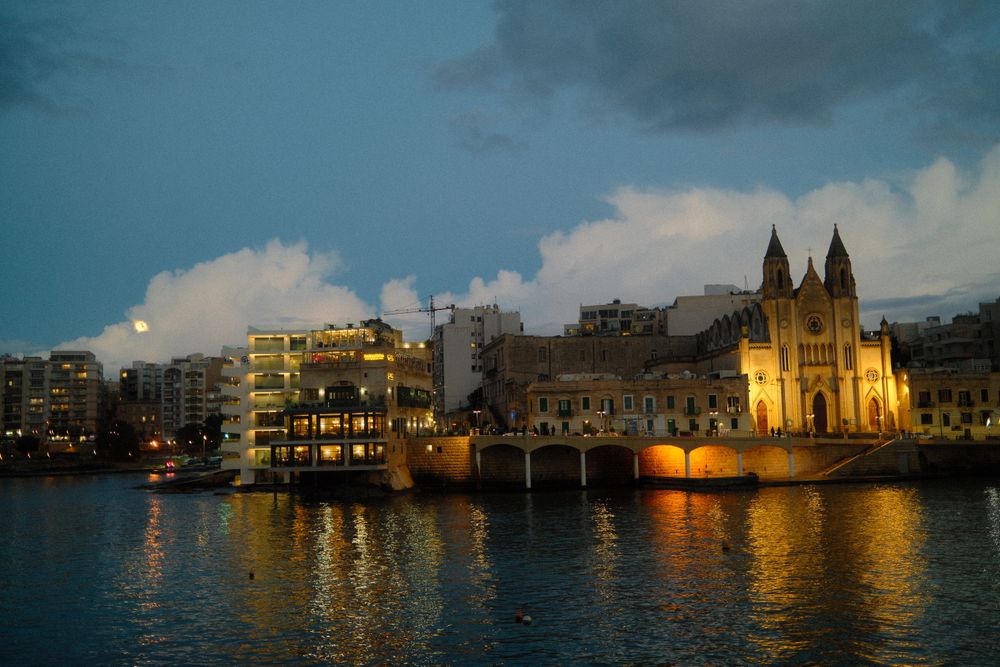
A small curve of rock and stone in front of the Carmelite church, Balluta Bay is a town swim where Sliema meets St Julian's. Stone steps…
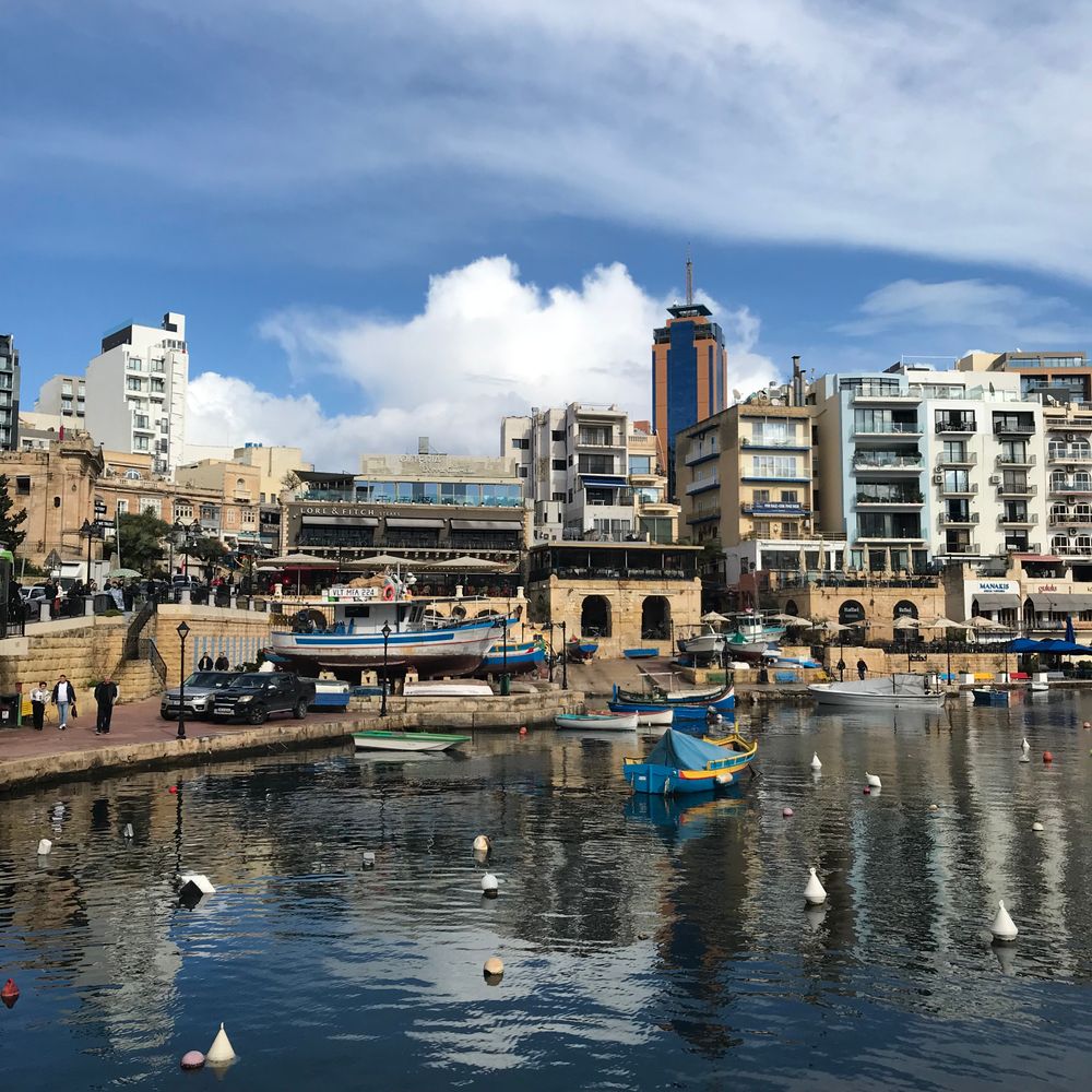
Fishing boats moor in Spinola Bay, a small harbour ringed by restaurant terraces at the heart of St Julian's. The waterfront path runs from…
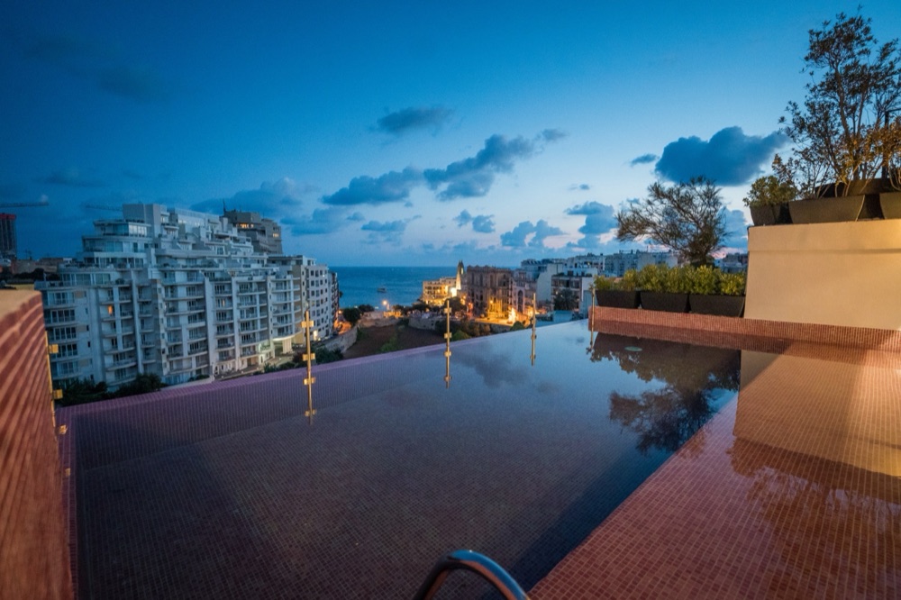
On Fabri Lane in St Julian's, HOLM has 29 rooms and two pools: an outdoor one with views of the sea and the valley, and one indoors. The…
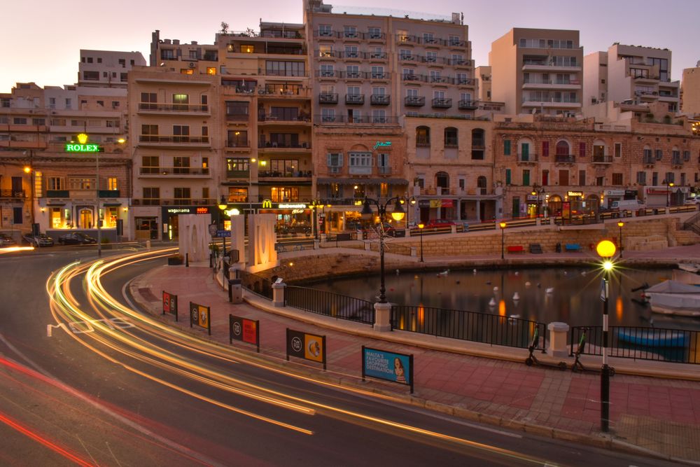
North of Sliema, the shore runs round two small bays and on to a strip of sand: Balluta first, then Spinola, with fishing boats moored…
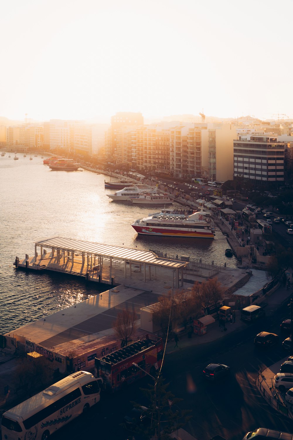
A short catamaran crossing from The Strand lands at Marsamxett on the Valletta side, the quickest way from Sliema into the capital.…
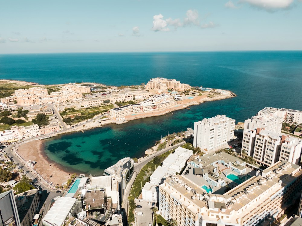
The one real sandy beach in the Sliema and St Julian's area lies at the foot of Paceville, framed by hotels and Dragonara Point. The sand…
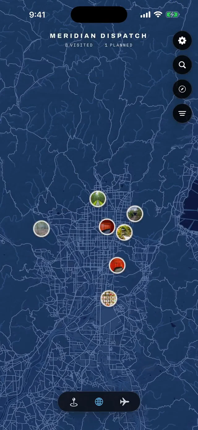



Save Sliema Front to your Malta trip in the Meridian Dispatch app and build the day around it, with the best of Sliema pinned on one map.
Download on the App StoreLast updated