4.7 km from Sedlo to the summit
Start from the Sedlo pass at dawn and you can stand on the highest summit wholly inside Montenegro and be back at the car by mid-afternoon. On the way: meadow, a boulder field and three short cabled sections. At the top: the Škrčko lakes and Prutaš far below you.
Route from OpenStreetMap, routed over the mapped paths from the Sedlo car park. Heights are from a 30 m terrain model, which matches the published height of Velika Previja to within 5 m but cannot hold a pinnacle: it tops out about 95 m under the summit. The last 473 m, shaded, joins the published heights of the pass (2,351 m) and the summit (2,523 m). Read the chart as a shape, not a survey.
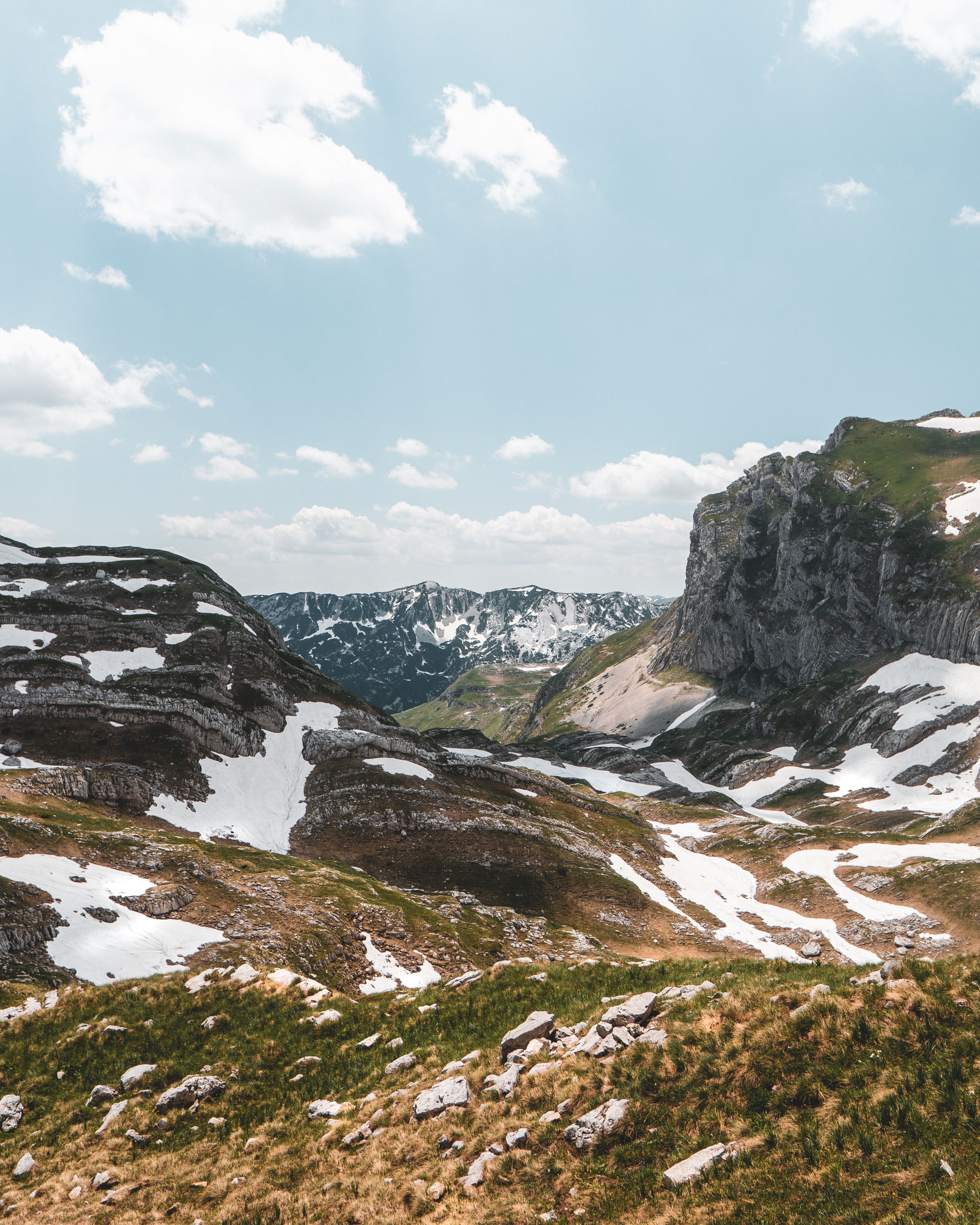
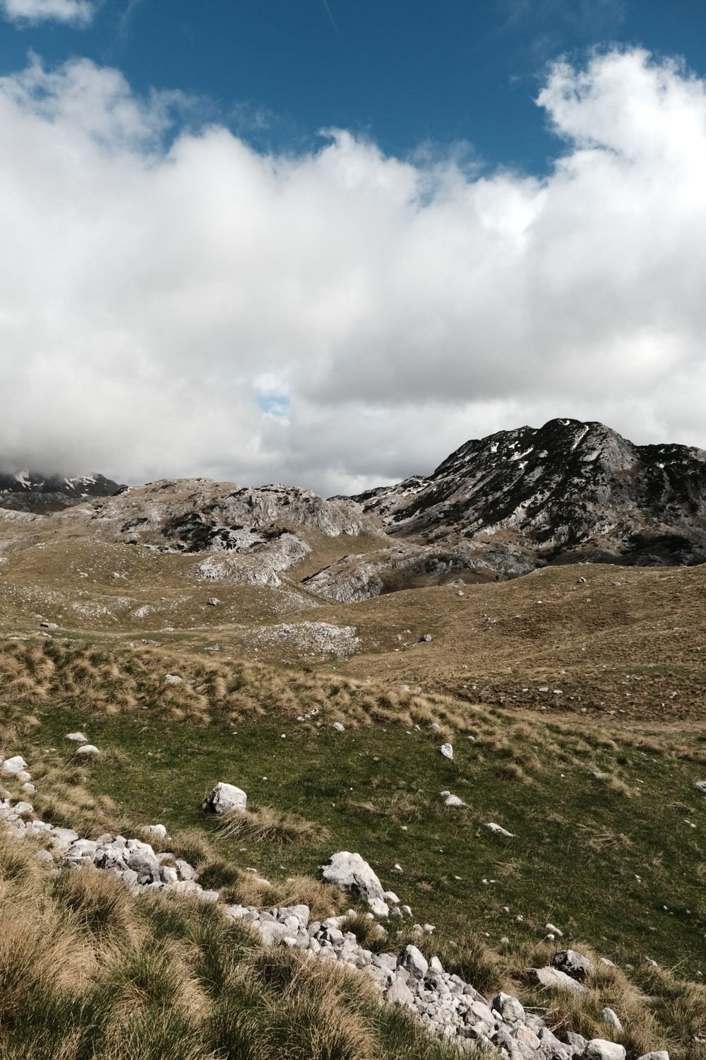
Most of the walk is not a climb at all. Past Uvita Greda, where chamois are sometimes out on the meadow early in the day, the path wanders for two kilometres across a high limestone plateau of sinkholes and grass. The jagged ridge of Zupci is ahead of you and Milošev Tok off to the side.
Then it rises once more and drops to Zeleni Vir, a small lake under the summit wall.
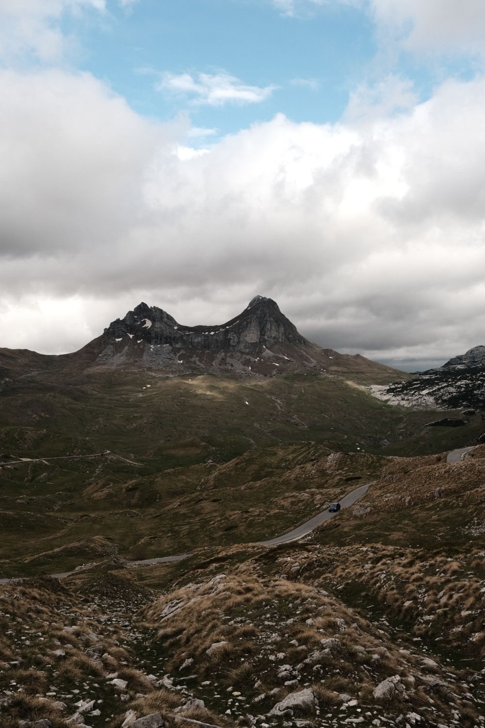
On a clear day you can see most of Montenegro's mountains from the top, Lovćen above the coast among them. There is room to sit even when it is busy, and the stray dogs waiting there for a share of lunch are friendly.
Sedlo is the short way up. A much longer path climbs from Žabljak past the Black Lake and meets this one at the Velika Previja pass, so without a car you can walk down that side into town instead of back to the road.
The first 4.2 km is well-waymarked mountain path over grass, limestone and boulder field. It has two short secured sections: a cabled step and ledge round Uvita Greda, and a rock step with some light scrambling on the climb from Zeleni Vir.
The last 473 m, from Velika Previja, is the hard part. You cross loose scree and brittle rock under the south face, then follow fixed cables along a ledge barely a boot's width in places. The rock is polished, and poles help on the way down.
The other way up, then the canyon and the next range
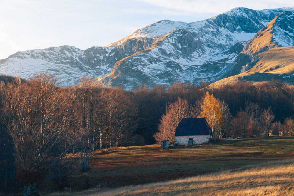
The park entrance on the edge of Žabljak, and where the long path down from Velika Previja comes out.
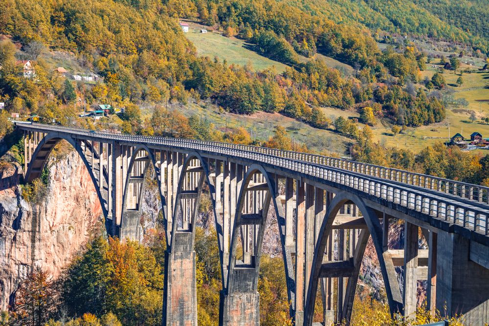
Five concrete arches carry the road across the Tara canyon north of Žabljak.
A mountain town on the Tara river between the Bjelasica and Sinjajevina ranges.