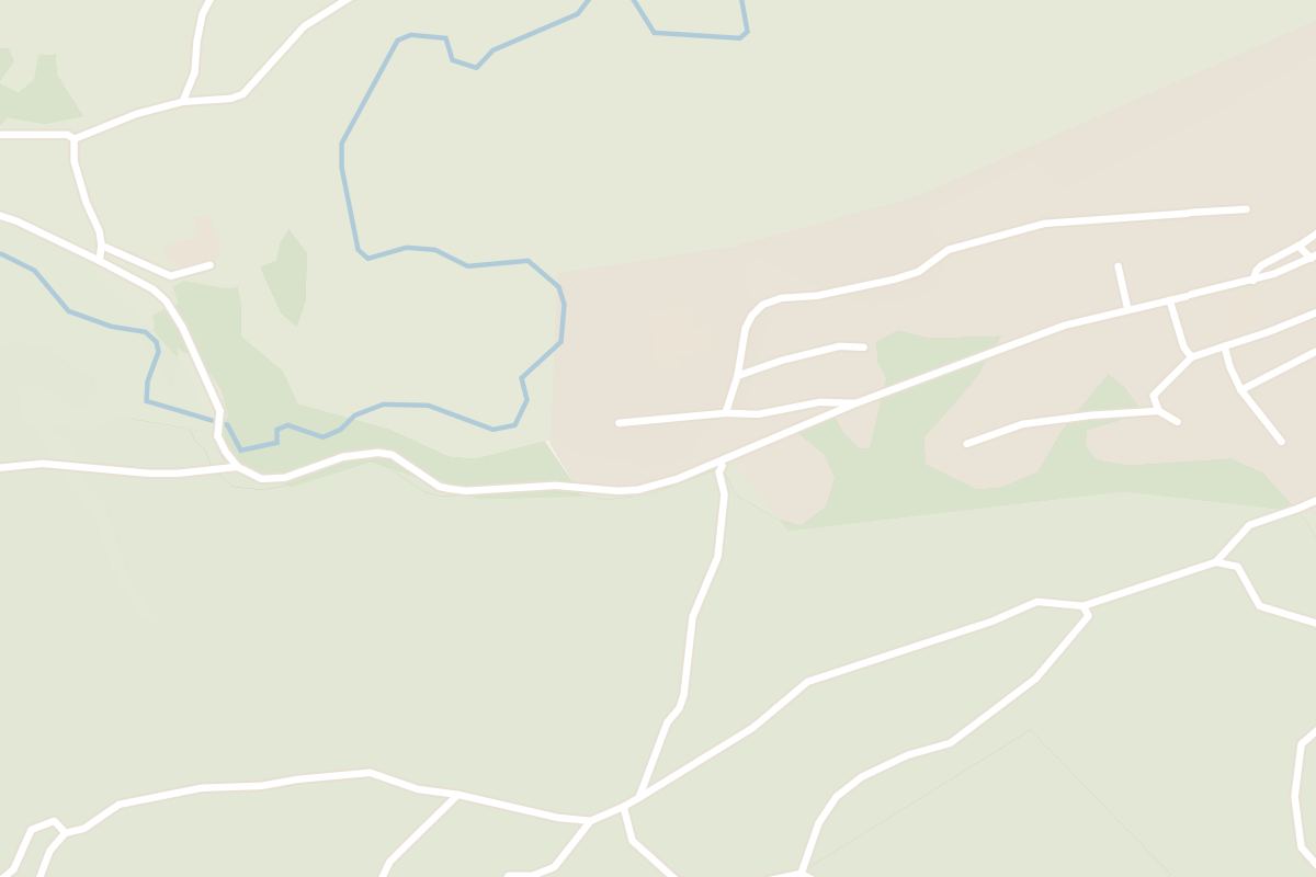
 13 min walk from Town square
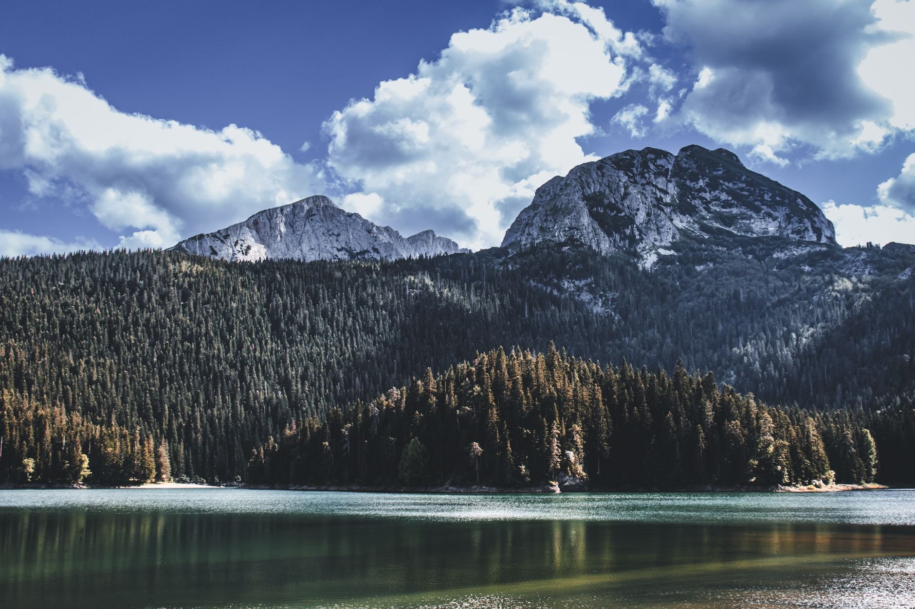
Black Lake (Crno Jezero)
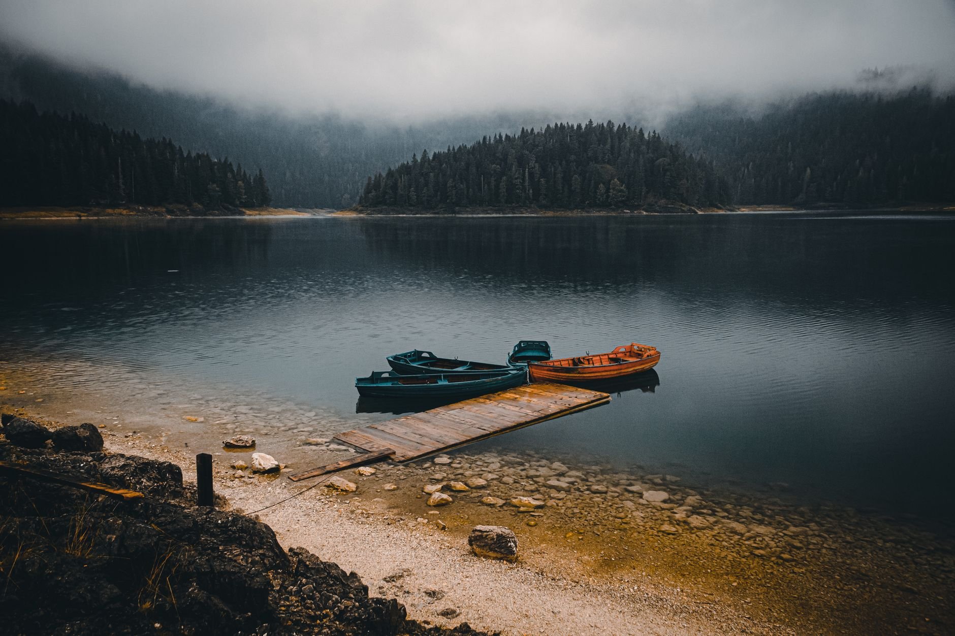
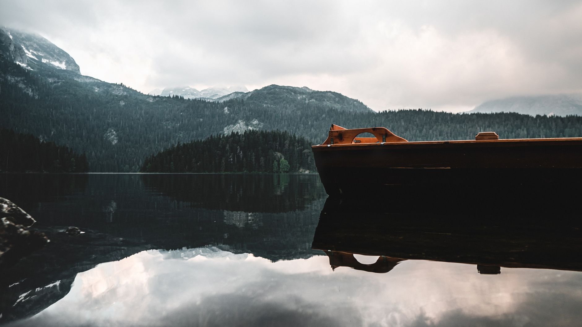
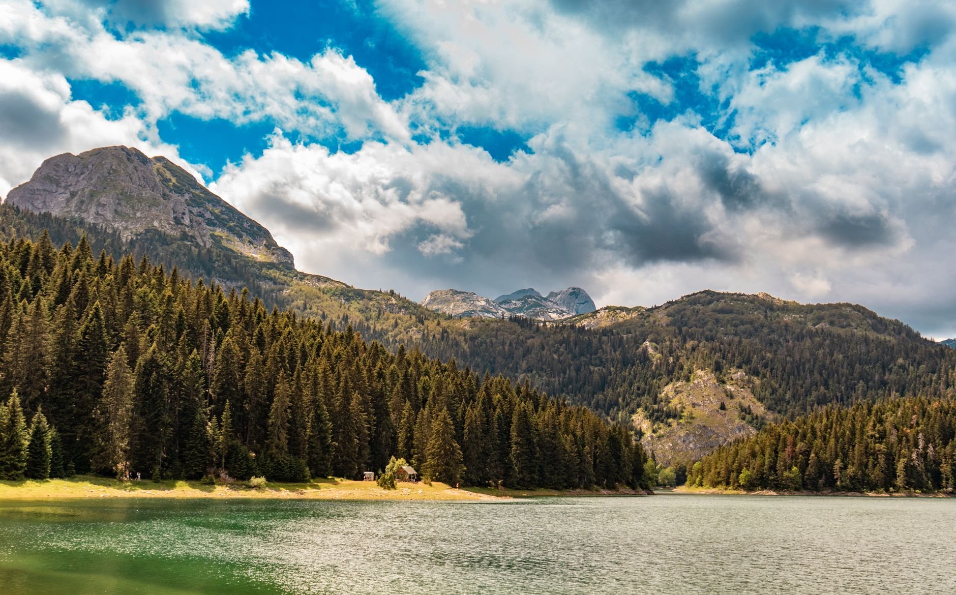
Two glacial basins under Međed, ringed by a shore path through tall conifers that takes about an hour and a half. Rowing boats go out from the jetty, and swimming is allowed in summer.
Read the guide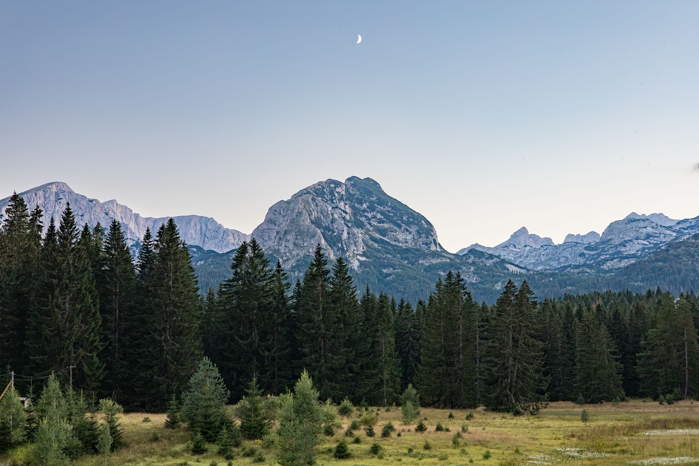
When the July coast runs into the mid thirties, Žabljak is cool enough for a full day on foot, and you can walk out of town straight into a national park.
Town guide, Montenegro. Meridian Dispatch.
Ninety seconds on Žabljak
Three nights is the usual minimum. That allows two days on foot, one for the Durmitor Ring or the Tara canyon, and room to move a summit day when storms are forecast. Walkers aiming for Bobotov Kuk, the Škrka lakes and Minin Bogaz stay five or six.
Not in the town, which is compact, and not for the Black Lake, which is within walking distance or a short taxi ride. The Sedlo pass, the Durmitor Ring, the Ćurevac rim and the Bosača trailheads need a car, a taxi or a guided trip. E-bikes and mountain bikes can be hired in town.
Late June to September for walking, though snow can lie on the upper route to Bobotov Kuk into early July. Snow usually keeps Sedlo shut to cars, and the Durmitor Ring with it, until late May or early June. Thunderstorms build on many summer afternoons above 1,800 metres. Savin Kuk runs a ski season from mid December into early April, and winter tyres are compulsory on Montenegrin roads from 15 November to 1 April.
Yes. The ticket is per person per day, sold at the booth on the road from Žabljak to the Black Lake, which is staffed from June to October, and online through the national parks authority. Multi-day passes are sold too, and fishing needs a separate daily permit.
Not everywhere. Montenegro uses the euro, Žabljak has two ATMs in the centre, and many small guesthouses and kafanas prefer cash, so arrive with some. Nikšić, on the road from Podgorica, has a wider choice of banks.
Podgorica (TGD), 131 kilometres by road through Nikšić and Šavnik, a drive of about two hours forty minutes; buses from the capital take a similar time. Tivat (TIV), on the Bay of Kotor, is a drive of about four hours and suits a trip that starts on the coast.
Stay in Žabljak if the high mountains are the point, in summer for the walking or in winter for the snow. Kolašin, lower and on the railway, suits a shorter mountain stop.
See all towns in MontenegroCompare Montenegro town by town
Žabljak is a small town of guesthouses on a high plateau, with no old quarter to see. What it does best lies around it: the lakes and peaks of Durmitor National Park, and the Tara canyon to the east.
1,456 metresRead our dispatch from Žabljak
Hotel SOA stands inside the national park, on the road from the square to the Black Lake. Guesthouses and small hotels cluster around the square and the bus station.
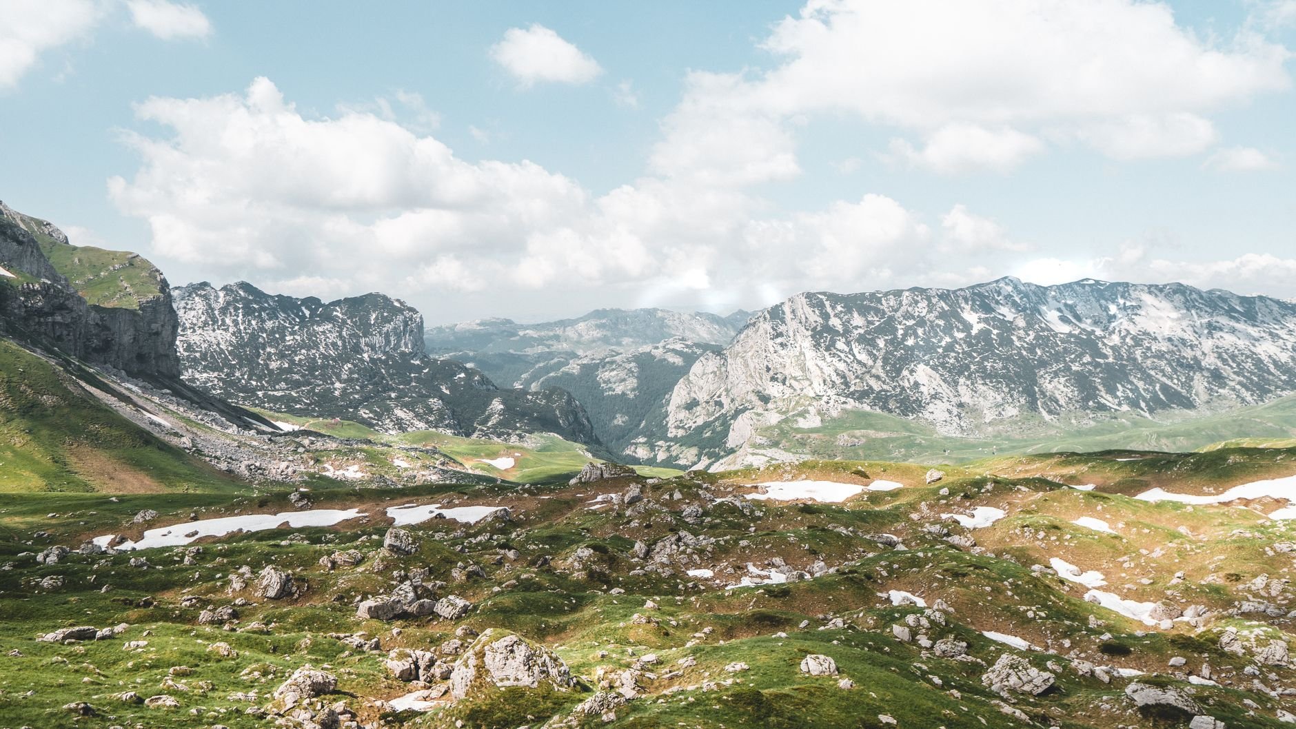
The lakes are a walk from town; the peaks, the passes and the canyons are a drive. Each tab gathers one kind of day.
Fifteen places in and around the park, from the lake shore to the canyon rim.
Two glacial basins under Međed, ringed by a shore path through tall conifers that takes about an hour and a half. Rowing boats go out from the jetty, and swimming is allowed in summer.
Read the guide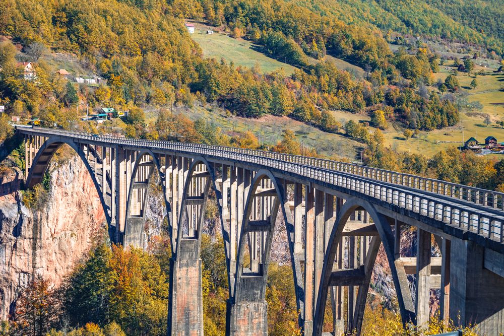
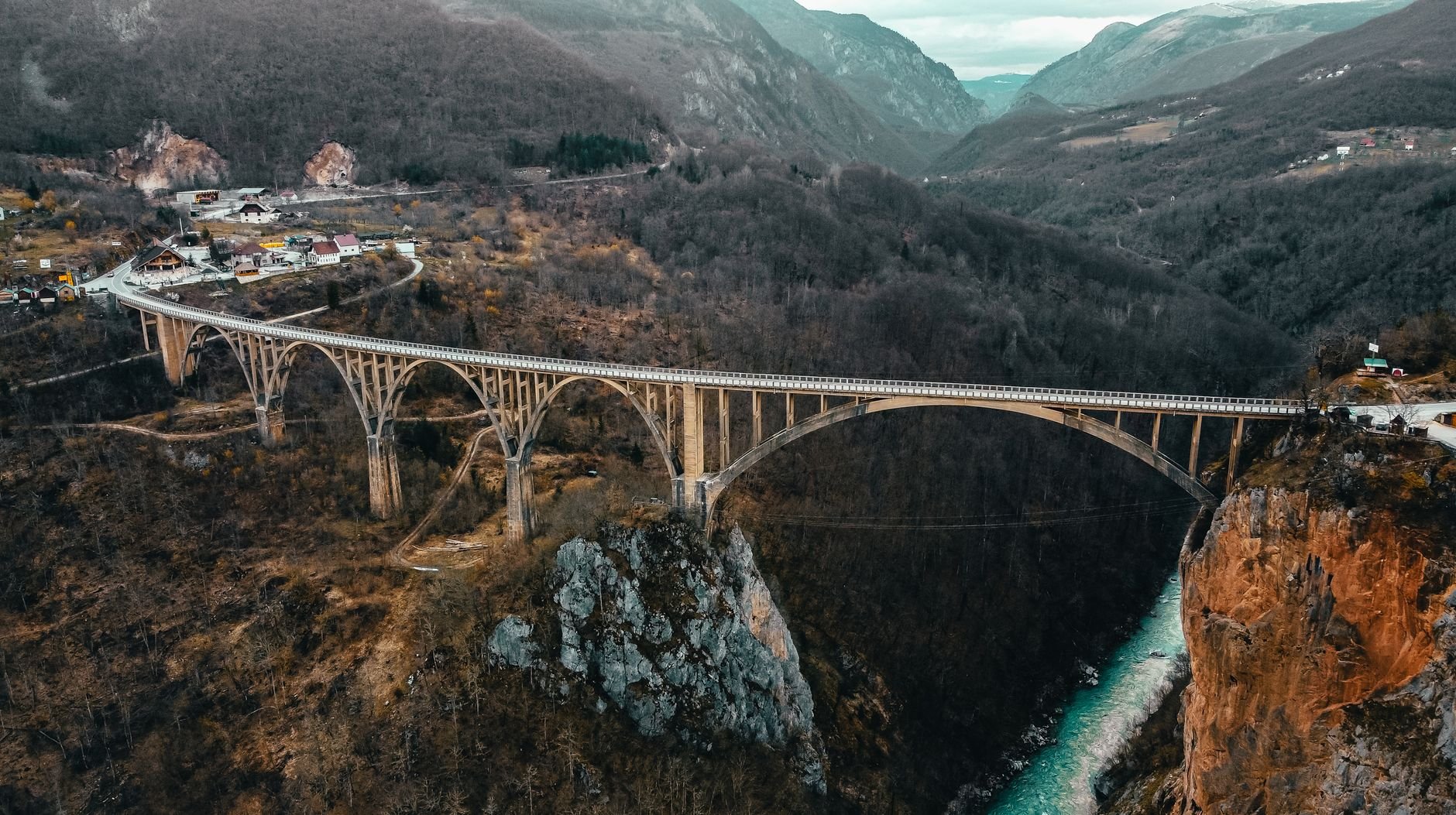
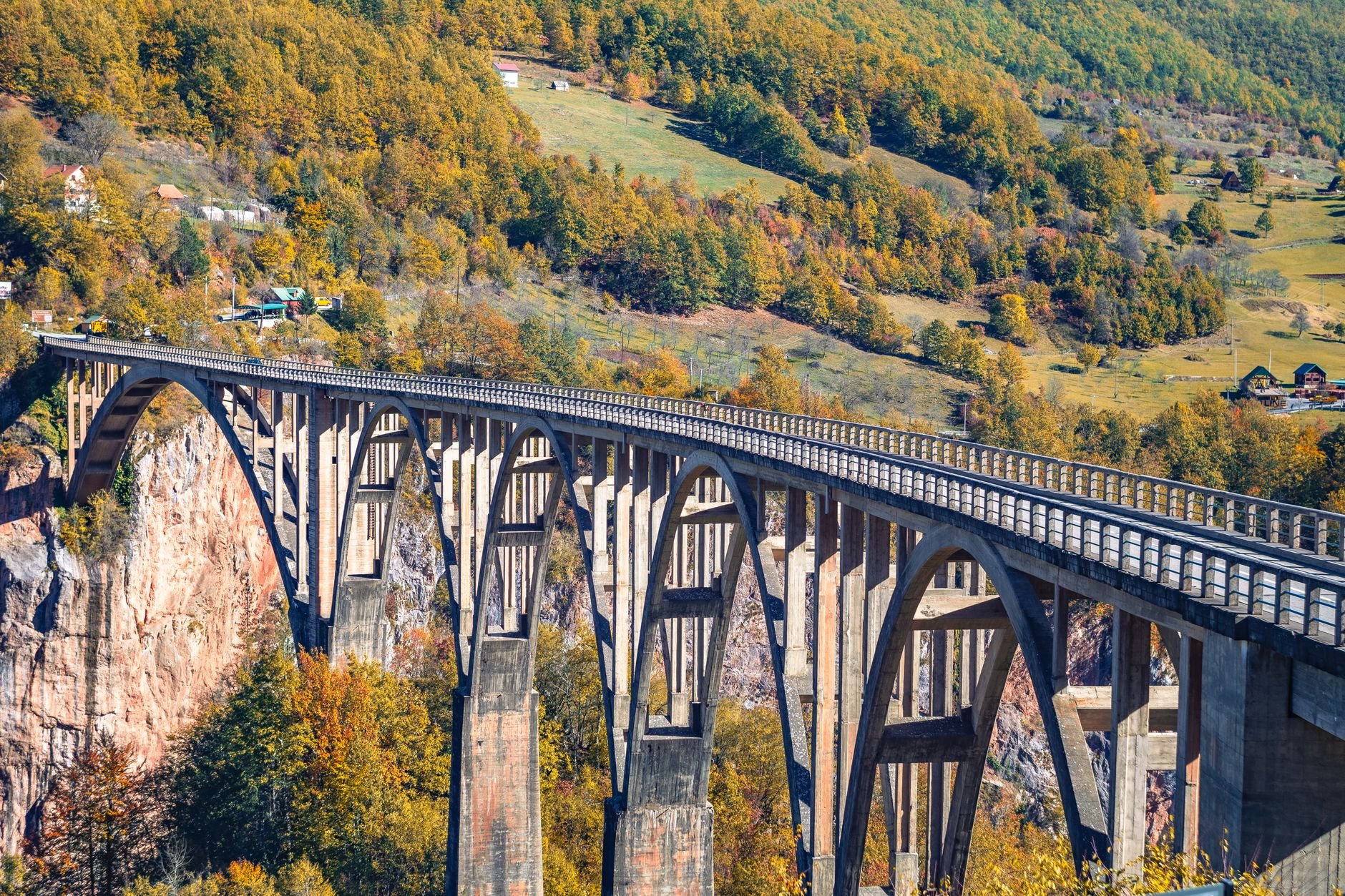
Concrete arches carry the road 172 metres above the Tara, east of town on the road to Pljevlja. If the walkway is open on the day, walk to mid-span for the drop; while works continue, traffic stops through the middle of the day.
Read the guide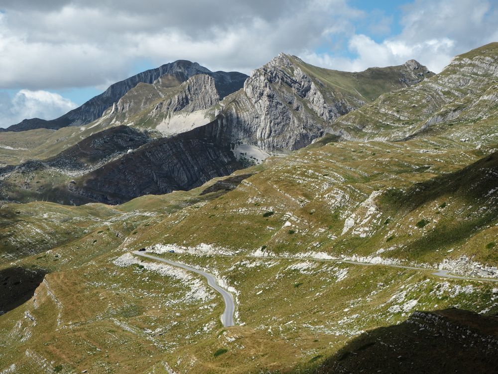
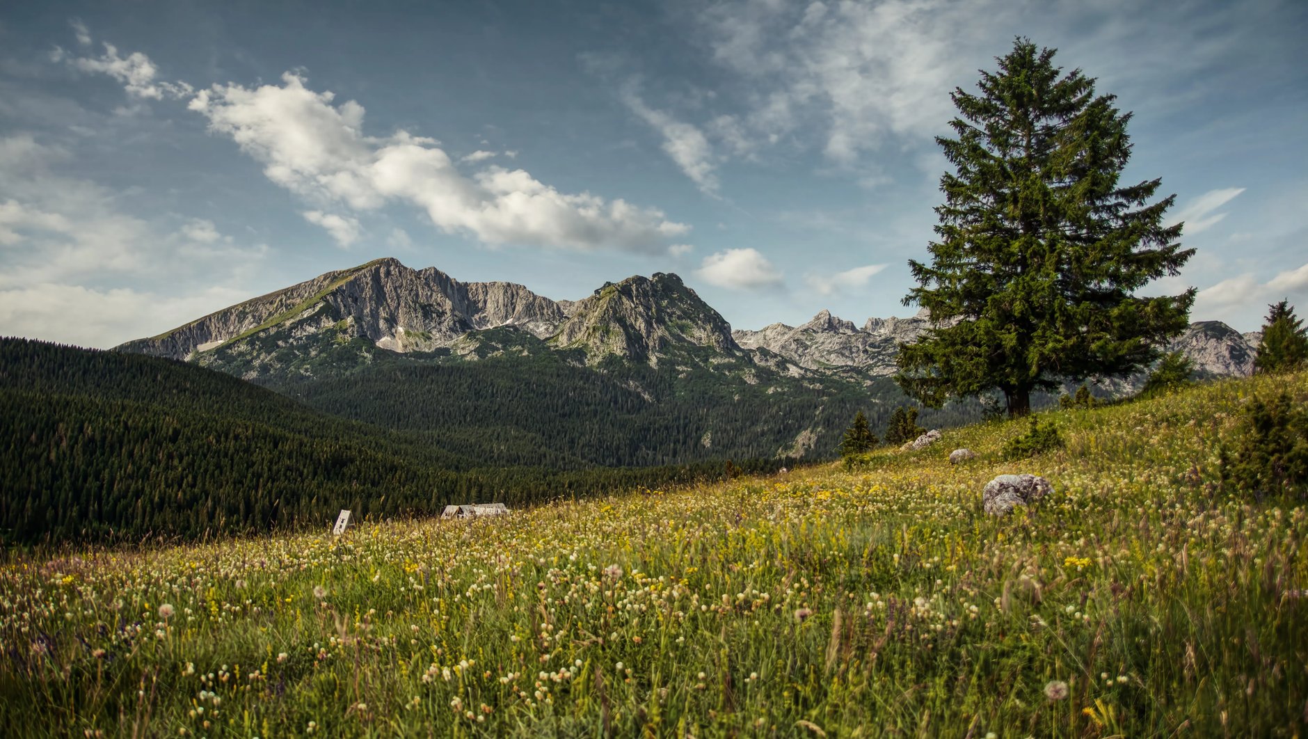
Eighteen glacial lakes and dozens of summits over 2,000 metres sit inside this UNESCO-listed park, with Žabljak on its eastern edge. The lakes, the peaks and the Tara canyon rim on this page all lie inside it.
Read the guide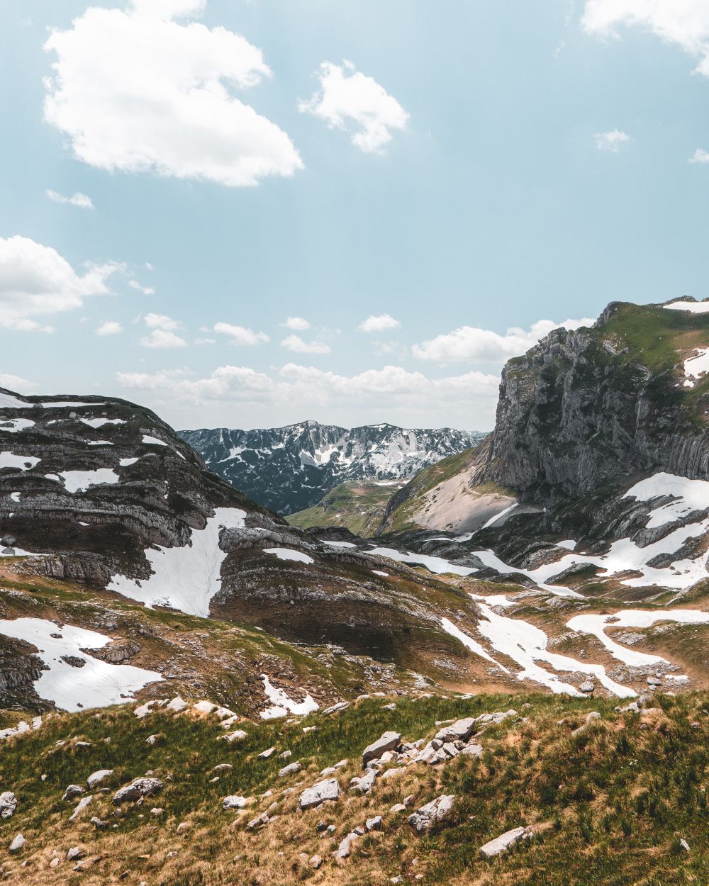
The top of the Durmitor range, a full day from the Sedlo pass with three short cabled sections near the summit. Carry all your water: none is sold or reliable on the route.
Read the guideThe rim above the deepest stretch of the Tara canyon, a short drive north of town and a half-hour walk from the road end. Go on a clear day: when cloud fills the canyon, the river is hidden.
A gorge on the Komarnica river, south of the massif, so narrow that its walls nearly close overhead. The only way through is canyoning with a licensed guide, in a wetsuit and helmet.
The Devil's Lake lies on the open Jezerska plateau south of town, a short drive or bike ride away. It needs no climb, so keep it for a day when the high routes are in cloud.
A glacial valley about fourteen kilometres long on the western edge of Durmitor, where the Ring road drops in on hairpins. The walk from the Sušica hut down the valley floor and back is easy to moderate.
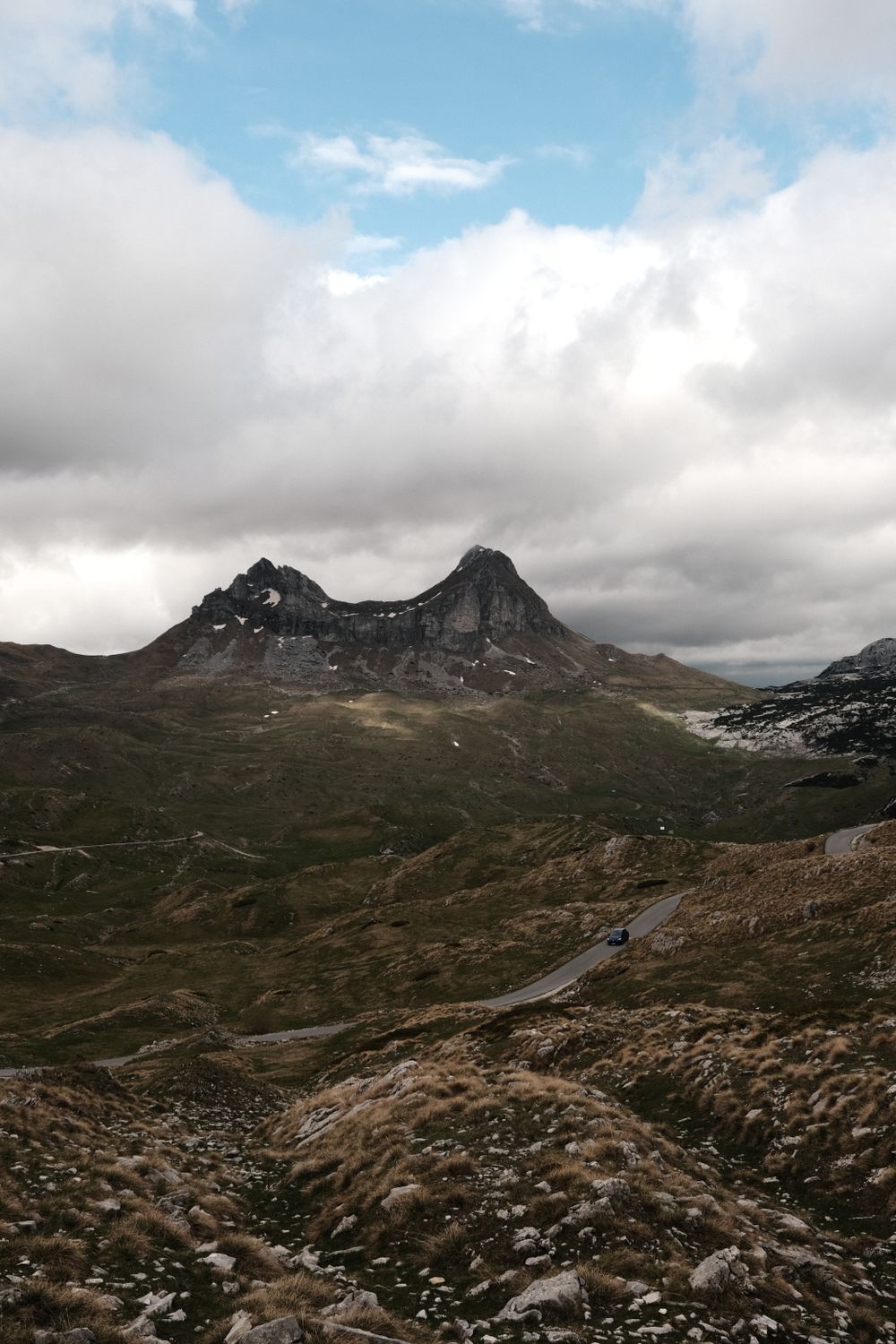
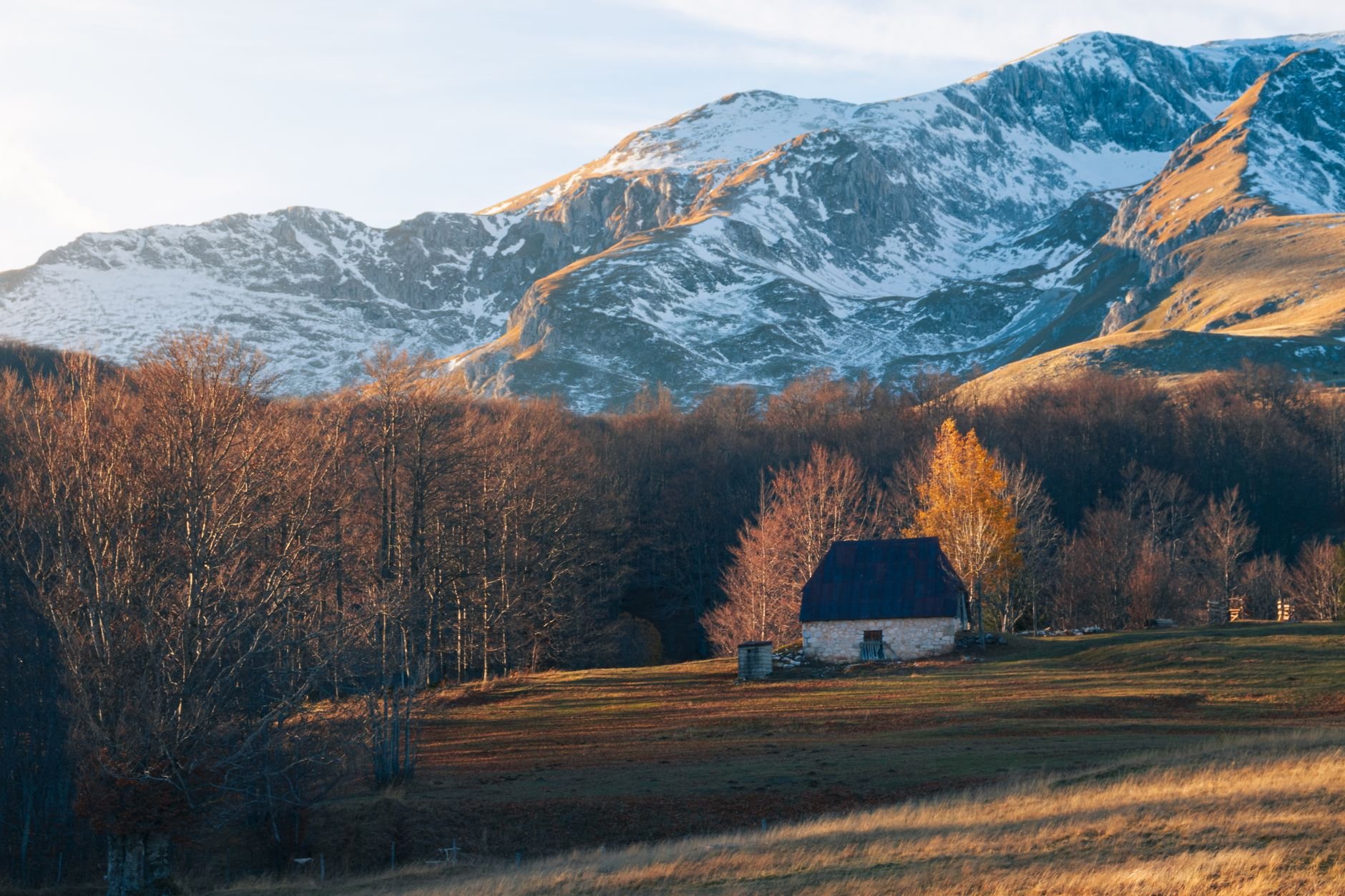
A 76-kilometre loop of mountain road over the Sedlo pass, at 1,908 metres. It is paved but a single car wide for long stretches, with livestock and rockfall, so give it a full day.
A small, dark green lake in the pines between the Black Lake and the hamlet of Bosača. From town it is a forest walk of an hour and a half or more; from the parking near Bosača, five minutes.
A first summit over 2,000 metres, with nothing technical on it. The path climbs from Bosača through pines past Jablan Lake to the 2,164-metre top; allow five or six hours.
Žabljak's ski area in winter, with lifts from a base above the town. In summer the walk to the top crosses open limestone; check whether a lift is running before counting on it.
Two glacial lakes in a deep basin under Bobotov Kuk and Prutaš, with a mountain hut beside them open from June to September. It is a full day on foot, and the climb back out is the hard half.
A tilted slab of rock above the Škrka lakes, reached on foot from the Ring road near Sedlo. The path is steep but not technical; wear boots and carry water.
A 2,387-metre spike off the Bobotov Kuk path, about four hours up. Two stretches are exposed scrambling, so hire a licensed mountain guide unless you know that ground.
Four glacial lakes, from the Black Lake by town to Škrka under the summits.
Two glacial basins under Međed, ringed by a shore path through tall conifers that takes about an hour and a half. Rowing boats go out from the jetty, and swimming is allowed in summer.
Read the guideThe Devil's Lake lies on the open Jezerska plateau south of town, a short drive or bike ride away. It needs no climb, so keep it for a day when the high routes are in cloud.
A small, dark green lake in the pines between the Black Lake and the hamlet of Bosača. From town it is a forest walk of an hour and a half or more; from the parking near Bosača, five minutes.
Two glacial lakes in a deep basin under Bobotov Kuk and Prutaš, with a mountain hut beside them open from June to September. It is a full day on foot, and the climb back out is the hard half.
Crvena Greda for a first peak, Bobotov Kuk for the cabled top of the range.
The top of the Durmitor range, a full day from the Sedlo pass with three short cabled sections near the summit. Carry all your water: none is sold or reliable on the route.
Read the guideA first summit over 2,000 metres, with nothing technical on it. The path climbs from Bosača through pines past Jablan Lake to the 2,164-metre top; allow five or six hours.
Žabljak's ski area in winter, with lifts from a base above the town. In summer the walk to the top crosses open limestone; check whether a lift is running before counting on it.
A tilted slab of rock above the Škrka lakes, reached on foot from the Ring road near Sedlo. The path is steep but not technical; wear boots and carry water.
A 2,387-metre spike off the Bobotov Kuk path, about four hours up. Two stretches are exposed scrambling, so hire a licensed mountain guide unless you know that ground.
The Tara from its bridge and from the rim at Ćurevac, and Sušica off the Ring road.
Concrete arches carry the road 172 metres above the Tara, east of town on the road to Pljevlja. If the walkway is open on the day, walk to mid-span for the drop; while works continue, traffic stops through the middle of the day.
Read the guideThe rim above the deepest stretch of the Tara canyon, a short drive north of town and a half-hour walk from the road end. Go on a clear day: when cloud fills the canyon, the river is hidden.
A gorge on the Komarnica river, south of the massif, so narrow that its walls nearly close overhead. The only way through is canyoning with a licensed guide, in a wetsuit and helmet.
A glacial valley about fourteen kilometres long on the western edge of Durmitor, where the Ring road drops in on hairpins. The walk from the Sušica hut down the valley floor and back is easy to moderate.
A day's loop of narrow road over the Sedlo pass, past summer pastures and stone huts.
Eighteen glacial lakes and dozens of summits over 2,000 metres sit inside this UNESCO-listed park, with Žabljak on its eastern edge. The lakes, the peaks and the Tara canyon rim on this page all lie inside it.
Read the guideThe top of the Durmitor range, a full day from the Sedlo pass with three short cabled sections near the summit. Carry all your water: none is sold or reliable on the route.
Read the guideA glacial valley about fourteen kilometres long on the western edge of Durmitor, where the Ring road drops in on hairpins. The walk from the Sušica hut down the valley floor and back is easy to moderate.
A 76-kilometre loop of mountain road over the Sedlo pass, at 1,908 metres. It is paved but a single car wide for long stretches, with livestock and rockfall, so give it a full day.
A tilted slab of rock above the Škrka lakes, reached on foot from the Ring road near Sedlo. The path is steep but not technical; wear boots and carry water.
Low walks for a grey day: the Devil's Lake on the plateau, or the Black Lake shore.
Two glacial basins under Međed, ringed by a shore path through tall conifers that takes about an hour and a half. Rowing boats go out from the jetty, and swimming is allowed in summer.
Read the guideConcrete arches carry the road 172 metres above the Tara, east of town on the road to Pljevlja. If the walkway is open on the day, walk to mid-span for the drop; while works continue, traffic stops through the middle of the day.
Read the guideThe Devil's Lake lies on the open Jezerska plateau south of town, a short drive or bike ride away. It needs no climb, so keep it for a day when the high routes are in cloud.
A small, dark green lake in the pines between the Black Lake and the hamlet of Bosača. From town it is a forest walk of an hour and a half or more; from the parking near Bosača, five minutes.
From the town square, follow the road west into the park to the Black Lake, about forty minutes on foot through the pines. Go round the shore anticlockwise: the far side has the angles on Međed that the main beach misses.
Marked paths leave the shore for Bobotov Kuk and the other high routes. Most walkers drive or take a taxi to the Sedlo pass instead, 14 kilometres from town, where a park warden sells the day ticket at the car park.
From Sedlo, come back down the same way, or cross Velika Previja and walk down past the Black Lake to town, 14.4 kilometres in all. A taxi out to the pass makes that a one-way day.
Give a separate day to the canyon. The Đurđevića Tara Bridge is east of town, and works continue after its October 2026 reopening, so check the traffic notices before you drive. Rafting on the Tara starts at Splavište, just below the bridge, and runs to Šćepan Polje on the Bosnian border; it stops in winter.
Stay at Hotel SOA on the lake road, or in a guesthouse by the square. In May and October some kitchens shut for whole weeks, so check before you walk over.
Podgorica is the usual airport for Žabljak, and the road north climbs into the mountains for most of the way.
Collect the car at the airport and drive north. The same car then takes you to the passes and trailheads once you are in Žabljak.
Buses to Žabljak leave from Podgorica's main bus station, not the airport, so take a taxi into the city first. Departures are few, so check the day's times at the station.
Door-to-door transfers run from Podgorica, Tivat and the coast. Send your flight number when you book, and the driver meets you in arrivals.
From Tivat, on the coast, allow about four hours by road.
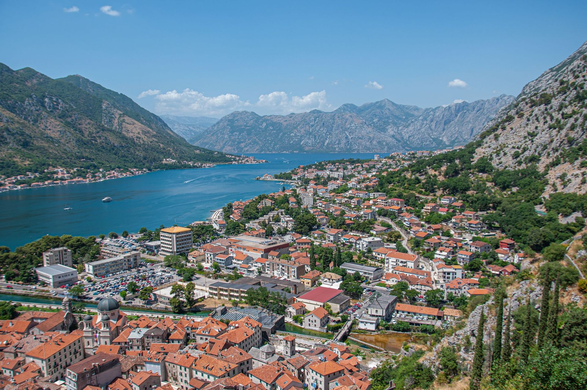
Every Montenegro town, place and dispatch, on one map.

Plužine was rebuilt on the hillside in the 1970s, when the new dam on the Piva flooded the old town below.

Turquoise water at the bottom of a deep gorge in the far north of Montenegro.

Ski slopes in winter and one of Europe's last primeval forests in summer both lie a short drive from this mountain town.

Drive the road above Piva Lake, green water held between limestone walls in the far northwest.
The official pages this guide was checked against.
Last updated