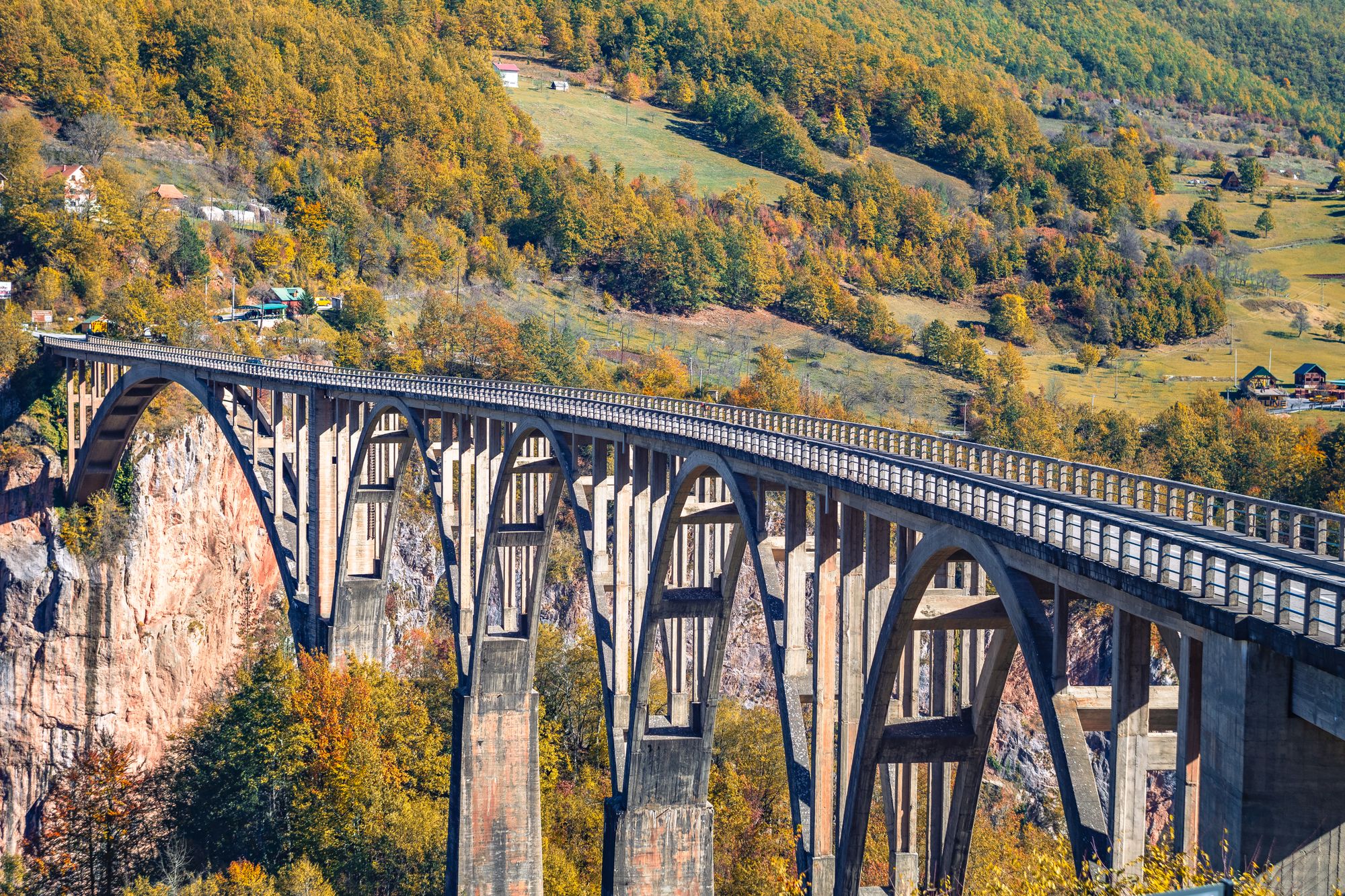
Stand on the platform below the road on the southeastern side and the whole bridge fits one frame, its arches 172 metres above the river. If the walkway is open on the day, walk to the middle and look straight down at the Tara.
Bridge, Žabljak. Meridian Dispatch.
No. As of late October 2026 the bridge is open again, having reopened to traffic on 20 October after reconstruction. Since 21 October, cars and buses have been halted daily from 10:00 to 15:30 while the works continue, and lorries over 3.5 tonnes stay barred until they end. The Traffic Administration's notices list each stoppage.
The roadway stands 172 metres above the Tara River. The canyon around it runs up to 1,300 metres deep, and mid-span gives the straightest view down to the water.
Construction ran from 1937 to 1940, and on completion it was the biggest concrete arch bridge for vehicles in Europe. One arch was blown up during the Second World War, and the bridge was rebuilt in 1946.
By car, in 25 to 30 minutes. A few buses run from the Žabljak bus station, but not every scheduled one runs, so a hire car or an organised tour is the easier way to make the trip.
Yes, two ziplines run over the canyon next to the bridge, the longer one just over a kilometre. They run seasonally, from spring into autumn, and rides stop in bad weather.
Yes. A path on the Žabljak side leads to viewpoints above and below the deck. A dedicated viewpoint for photographing the whole bridge was also built as part of the reconstruction.
Yes. The full-day rafting expedition starts at Splavište, just below the bridge, and finishes downstream at Šćepan Polje. The full-day trip takes rafters from 14 years old. Rafting is not available in winter.
Yes. The bridge spans the Tara River canyon, and Durmitor National Park includes that canyon. The park with its canyon has been on the UNESCO World Heritage list since 1980.
Walking the deck from end to end is a ten-minute affair at an easy pace. The history panels and the path to the viewpoints, both at the Žabljak end, stretch a stop beyond that, and a zipline ride over the gorge turns it into a longer outing.
The bridge carries the road 365 metres across the Tara canyon on concrete arches. The largest of them spans 116 metres, and it is that sweep you see whole from the southeastern platform, with the gorge running away on both sides.
From the middle of the deck the Tara shows as a narrow green ribbon far below, with the Durmitor peaks above the canyon rim. The walkway beside the traffic is only half a metre wide, so pick a quiet moment to stop and look down.
The information panels on the Žabljak side tell the wartime story. In 1942 Partisans, with the engineer Lazar Jauković, blew up one of the arches to stop the Italian advance, and Jauković was later captured and executed on the bridge. A monument to him stands beside it.
Start at the history panels on the Žabljak side. Then cross on the walkway beside the road, which takes about ten minutes at an easy pace, and stop at mid-span for the drop to the river.
For a view from underneath, rough and unmarked tracks drop from the bank toward the river. They are steep and slippery in places, so wear proper shoes and expect to use your hands. Ziplines run across the gorge beside the bridge, operated by two separate companies and ticketed.
Zipline start times change with the season and the day of the week, and the lines stop in bad weather, so check them before you build the visit around a ride.
From June to October, a second day in Žabljak can take in Bobotov Kuk, the highest summit lying wholly inside Montenegro. The usual route climbs from the Sedlo pass.
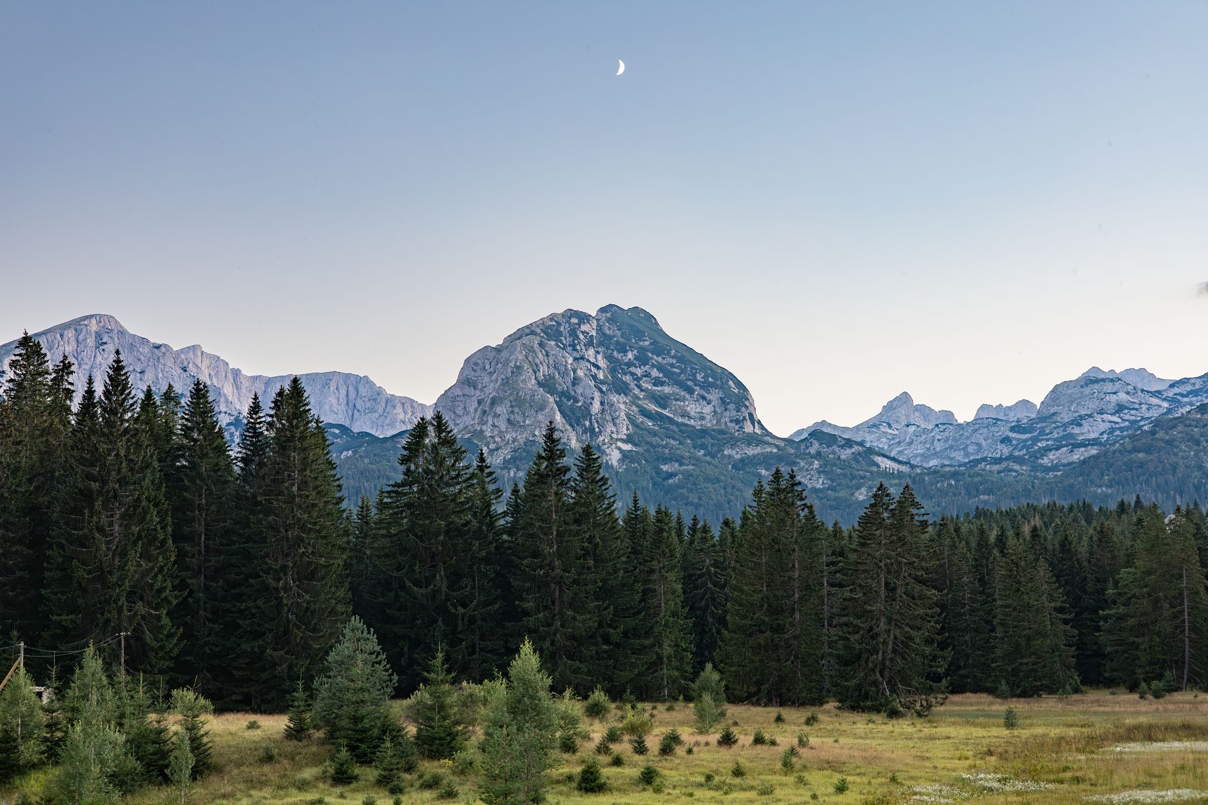
When the July coast runs into the mid thirties, Žabljak is cool enough for a full day on foot, and you can walk out of town straight into a national park.
Read the Žabljak guideExplore the rest of Žabljak
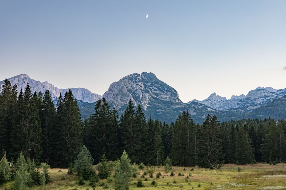
The highest town in the Balkans at 1,456 metres, and the gateway to Durmitor National Park. Black Lake is a forty-minute walk from the…
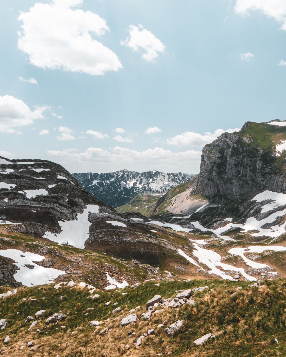
Durmitor's 2,523-metre summit, climbed most directly from the Sedlo pass in five to eight hours return. The final half hour is a narrow…
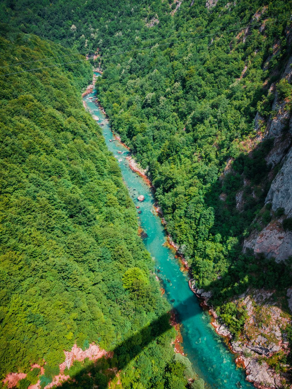
The Tara canyon is up to about 1,300 metres deep, the deepest in Europe, and rafting trips run the river along its floor. Come in May or…
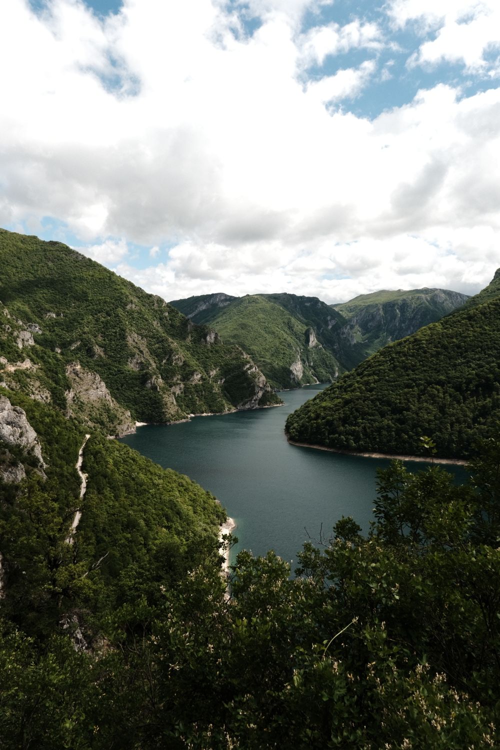
A blue-green reservoir that winds between sheer limestone walls, held back by a dam 220 metres high at Mratinje. The pebble coves near…
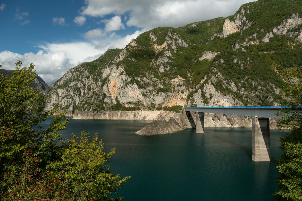
Plužine was rebuilt on the hillside in the 1970s, when the new dam on the Piva flooded the old town below. It is small, practical and…
A four-star hotel on the first kilometre of the road to Black Lake, inside Durmitor National Park at Žabljak. Built in a modern take on…
Two glacial basins under Međed peak in Durmitor, joined by a narrow strait that dries in summer until the pair separate. A path of about…
One of the last fragments of primeval forest in Europe, ringing a glacial lake at about 1,100 metres between Kolašin and Mojkovac. The…




Save Đurđevića Tara Bridge to your Montenegro trip in the Meridian Dispatch app and build the day around it, with the best of Žabljak pinned on one map.
Download on the App StoreLast updated