Globe Countries Cities Dispatches About Get the App
Nusfjord, Lofoten, Norway
Village · Lofoten

Nusfjord

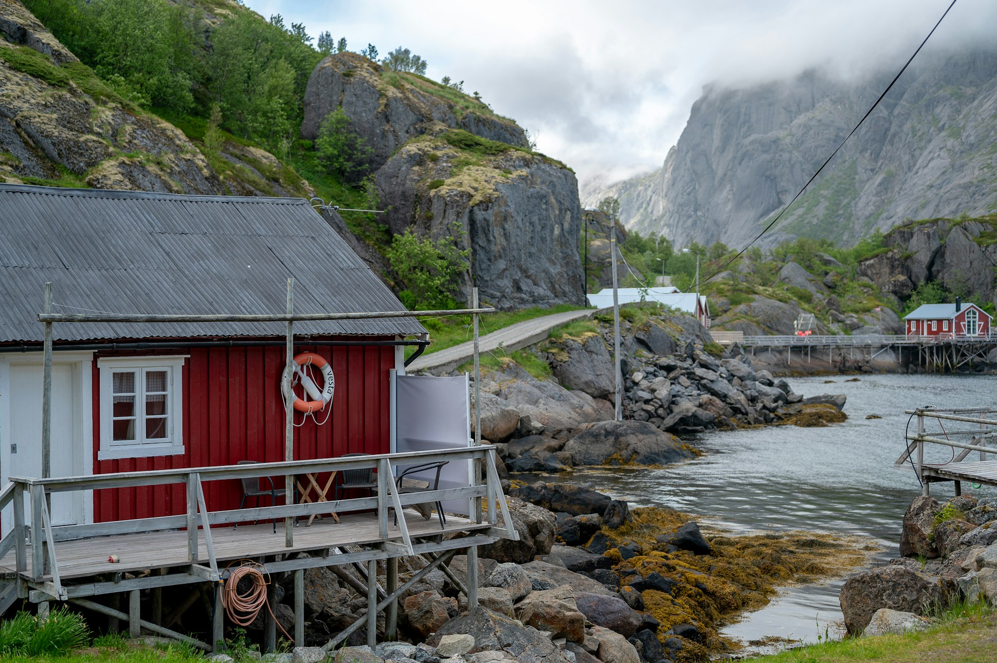
One of the oldest and most complete fishing villages in Norway, folded into a narrow inlet on the south coast of Flakstadøya and reached by a single dead-end road off the E10. Its yellow and ochre buildings, general store and cod liver oil refinery survived because the village emptied rather than modernised, and it was named a European heritage conservation project in 1975.

About 1.5 hours  ·  Ticketed

The village charges to walk in, which is exactly why it stays quiet; an hour covers the quay, the cod liver oil shed and the old store, and arriving on foot from Nesland costs nothing.

Getting thereTurn off the E10 at Nappskaret onto county road 807 and follow it about six kilometres down to the harbour; the last stretch is narrow and parking is limited.
Official sitenusfjord.com

From the dispatch

The practical shape of the trip: short flights from Bodø land at Svolvær and Leknes, both with hire cars, and drivers from the mainland come in on the E10 itself, joining it near the Harstad-Narvik airport at Evenes. The car ferry from Bodø docks at Moskenes, ten minutes up the road from Reine, which is the way to start at the end and drive the islands back to front. Sleep in the rorbuer, the fishermen's winter cabins now strung out over the water at Reine, Hamnøy and Nusfjord, and book months ahead for summer. June and July are for the midnight sun; late February and March are the skrei season, when the racks fill and the aurora still owns the evenings.
From The Road Runs Out at Å: Driving Lofoten's E10
The Road Runs Out at Å: Driving Lofoten's E10
Lofoten

The Road Runs Out at Å: Driving Lofoten's E10

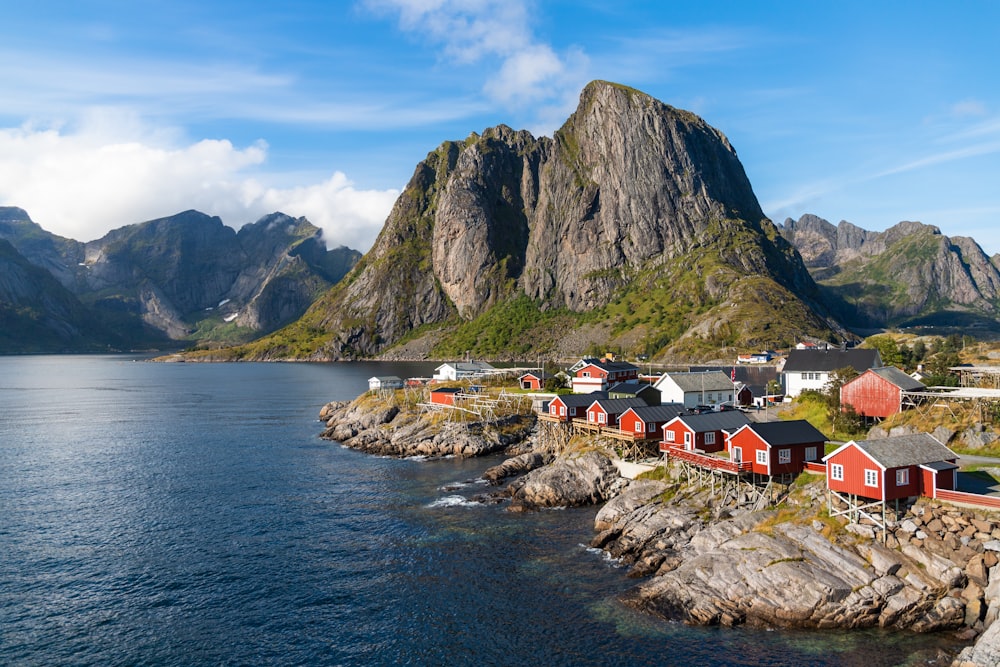
Above the Arctic Circle, a single road, the E10, threads a chain of black peaks that rise straight out of the sea. Red fishing cabins on stilts, cod drying on wooden racks, and the turning weather that is the whole reason to come.

Where it is

Map showing where Nusfjord is
68.0354°N   13.3477°E  ·  See it on the Norway map

Nearby on record

3
Beach · Lofoten

Kvalvika Beach

A pale crescent of sand on the exposed north-west coast of Moskenesøya with no road to it, reached by an hour of walking over a boggy pass f

Hike · Lofoten

Ryten

A 543 metre summit above Kvalvika, usually climbed as the second half of the same walk, with a broad flat top and a cantilevered slab of roc

Reine
Village · Lofoten

Reine

The fishing village that supplies most photographs of Lofoten, red cabins scattered over low islands in a bay ringed by black spires. It has

Meridian Dispatch for iPhone

Plan the trip.
Keep the journal.

Every other travel app asks you to start logging. Meridian Dispatch opens with years of your travel already written, from the photographs you already took.