 Submit a photo
Ninety seconds on Reine
The Bodø car ferry docks at Moskenes, a short drive south of Reine, after a crossing of about three hours and fifteen minutes. Leknes is the closest airport, and the Lofotekspressen bus passes the village on its way to Å.
The main walk crosses the bridges from Reine to Sakrisøy and Hamnøy, past cabins and drying cod that drivers see only from the photo stops. The public boat to Vindstad, about 40 minutes across the fjord, adds a path on to Bunes Beach.
Yes, from late September to April, on nights when the sky is dark and clear. On an average night the aurora first shows between 20:00 and 21:00, and the Hamnøy bridge is a favourite winter viewpoint.
For most of the year, seats are reserved in the operator's app or on entur.no until an hour before departure. Between mid October and late March, apart from a short break around New Year, bookings are taken by phone only. Tickets can be bought on board, by card, when the boat is not full.
Yes, with care. Between Reine, Sakrisøy and Hamnøy the walk follows the verge of the E10, which also carries lorries, cyclists and animals. Pedestrians keep to the edge and stay off the carriageway.
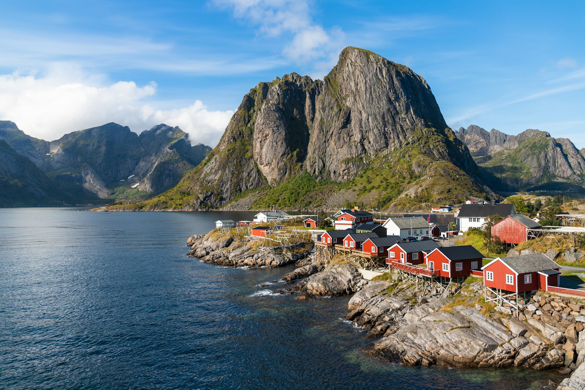
The walk over the bridges to Sakrisøy and Hamnøy shows you what you miss from the car: yellow cabins, red rorbuer on the rocks and mountains reflected in the harbour. Allow a morning for it, on foot.
Reine is one of the most photographed places in Norway, and what you are looking at is a working fishing village of about 300 people. The red cabins on the rocks are rorbuer, the fishermen's cabins of the Lofoten cod fishery, and many are now let as guest rooms. On Sakrisøy, the islet just north, the cabins are painted yellow instead.
The wooden racks along the shore are the working part of the village. The cod hangs on them in pairs to dry into stockfish, and if you look closely, each fish has its back turned to the southwest rain. By the time it is dry, about three quarters of its water has gone, and you smell the fish before you reach them.
The postcard view is the red Eliassen cabins piled on the rocks below Festvågtind, seen from the Hamnøy bridge. For the islands from above, the stone stairs of Reinebringen climb the mountain behind the village.
One road, the E10, joins Reine to Sakrisøy and Hamnøy, and the walk follows it north. Leave the car in a public car park, because the lanes in the centre are narrow.
Walk the harbour first, then cross to the yellow cabins on Sakrisøy and on to the bridge at Hamnøy. Photograph the stockfish on the racks, but do not touch it: it is food.
For the view from above, climb Reinebringen from the outer harbour car park in the snow-free months, allowing one to two hours to the top.
For the fjord behind the village, take the public boat from the outer harbour, which reaches Vindstad by way of Kirkefjord in about 40 minutes. From Vindstad a path of about 2.8 km each way crosses to Bunes Beach, so allow two to four hours there and back. Pack a warm layer against the northwest wind on the beach.
Download the EasyPark app before you park anywhere in Lofoten. If you want to sleep in a rorbu, book early, because some fill months in advance. Most have no blackout curtains, so pack an eye mask for the midnight sun.
Pick your season by the light. The midnight sun lasts from mid May to mid July, and the village is busiest from June to August; the northern lights return from late September to April. They first show around 20:00 to 21:00 on a clear night, and in winter aurora watchers gather on the Hamnøy bridge.
Explore the rest of Lofoten
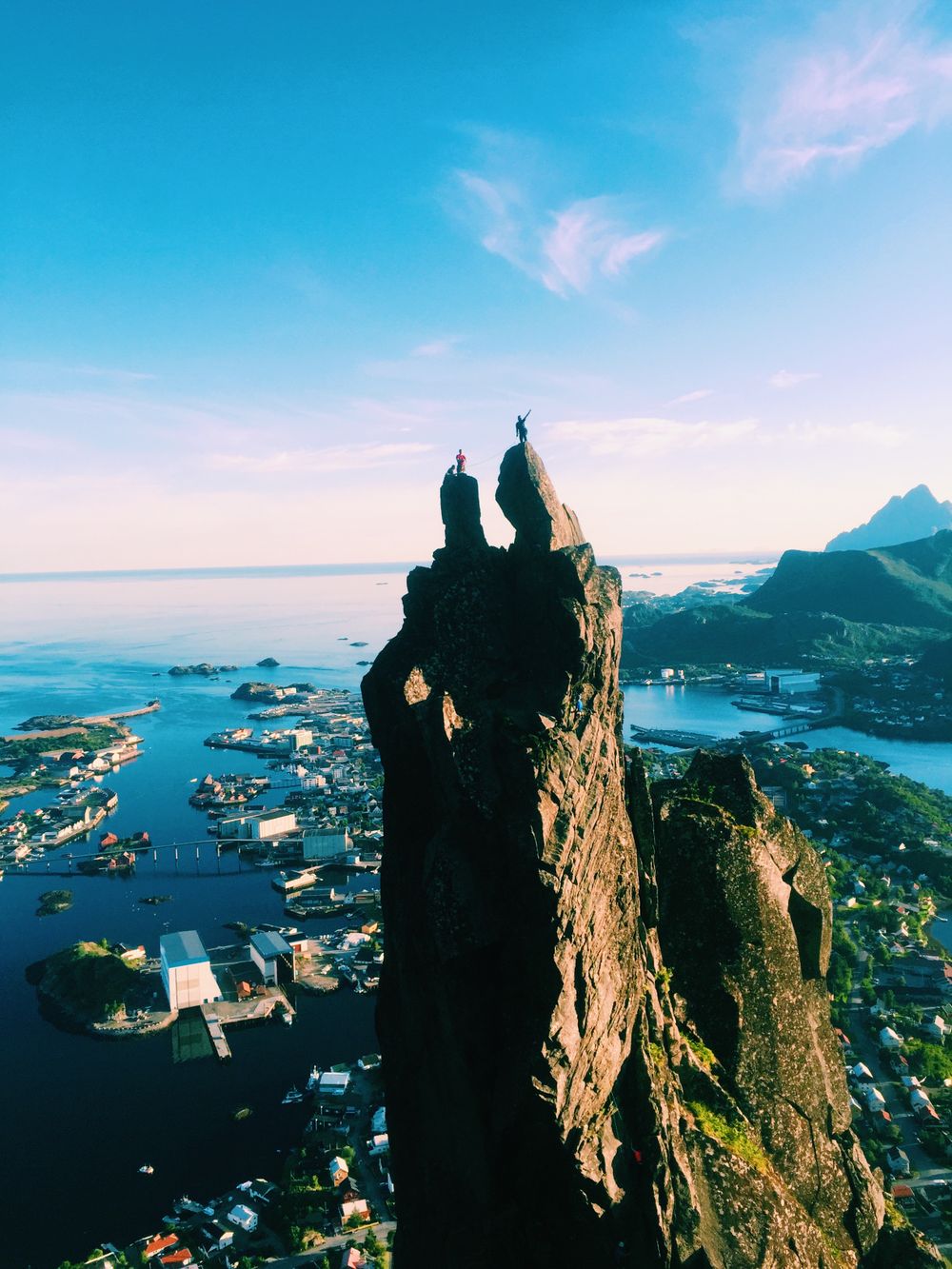
A 448 metre peak above Reine reached by a stone staircase of roughly 1,978 steps, cut into the mountainside by Nepalese Sherpa crews and…
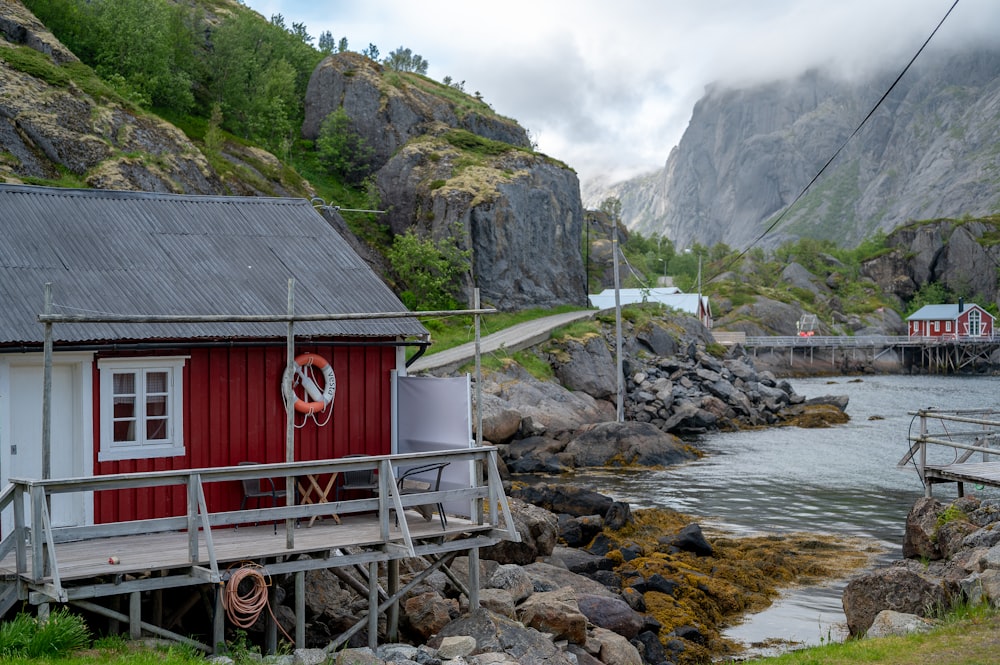
A fishing village of yellow and ochre buildings folded into a narrow inlet on the south coast of Flakstadøya, reached by a single dead-end…
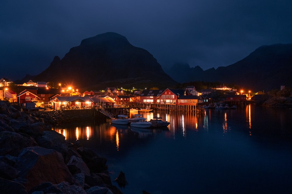
An open-air museum at Å, the village at the end of the E10, made from more than a dozen protected buildings of a working fishing station:…
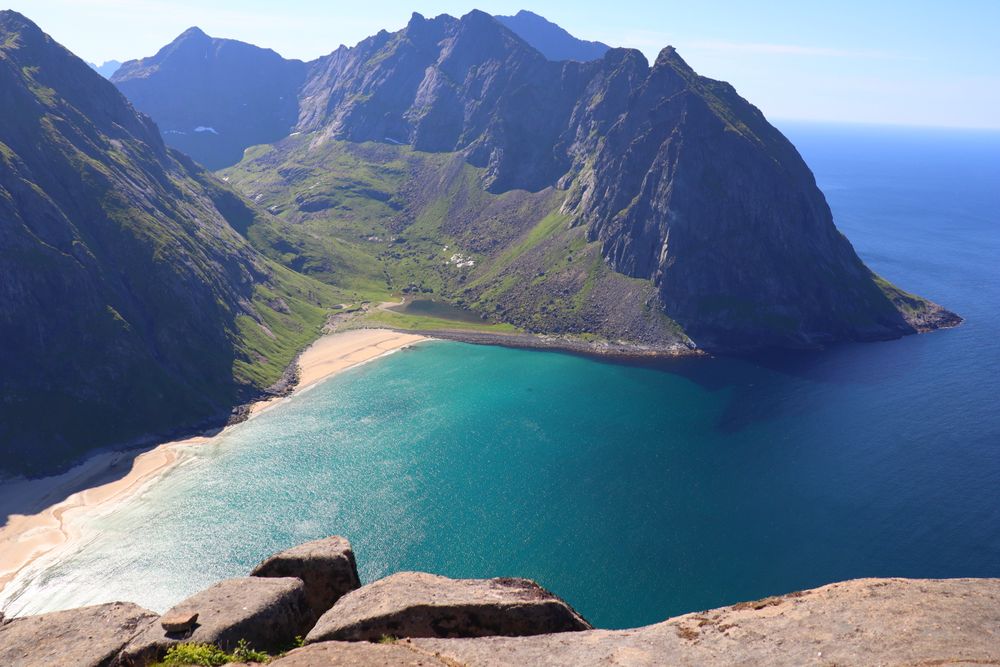
A pale crescent of sand on the exposed north-west coast of Moskenesøya with no road to it, reached by an hour of walking over a boggy pass…
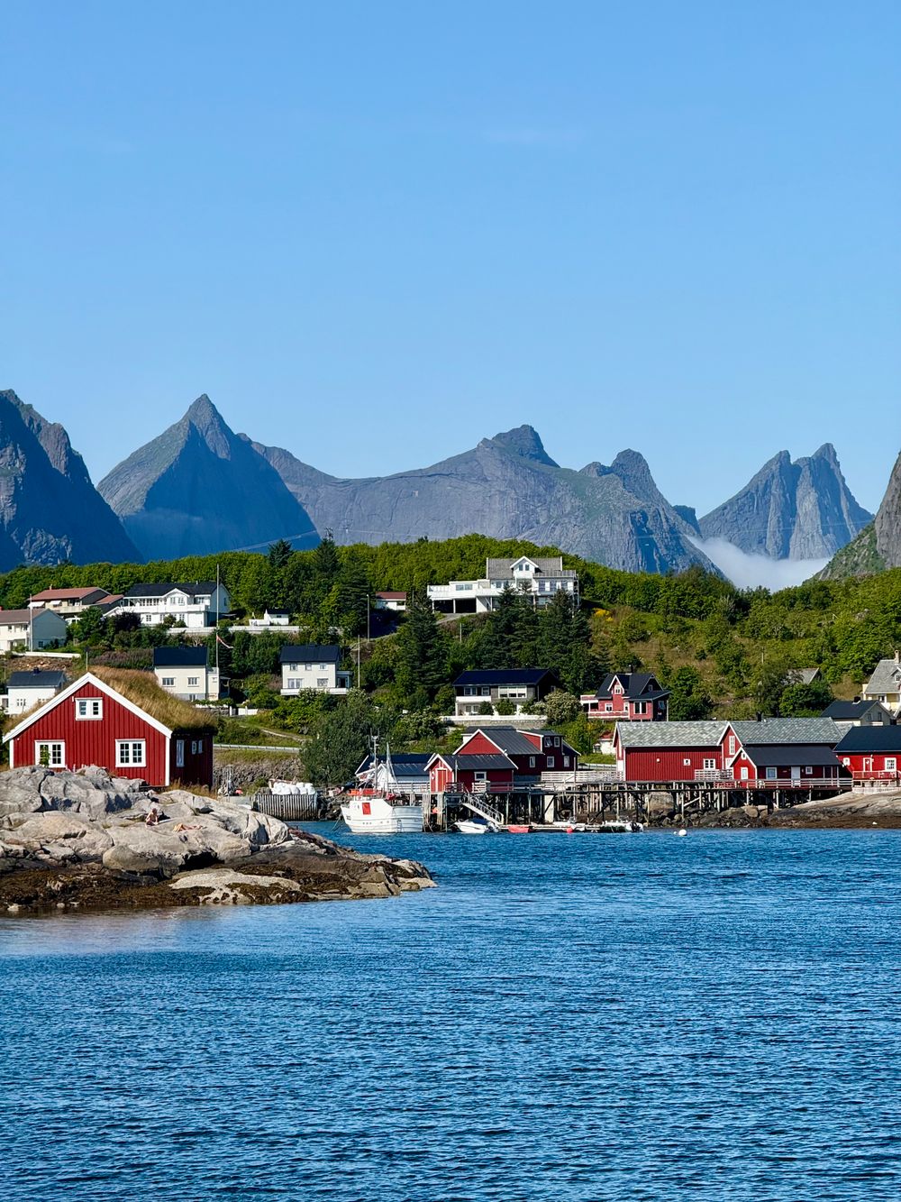
An archipelago inside the Arctic Circle where a wall of granite peaks rises straight out of the sea and the E10 threads north through it on…
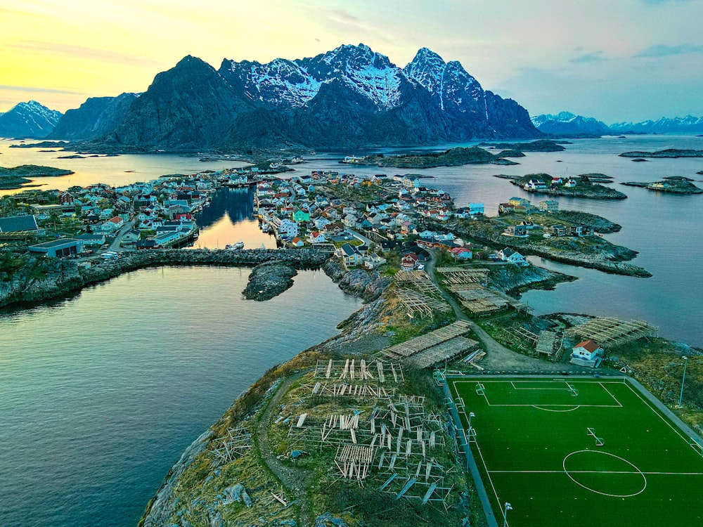
A fishing village built across a scatter of small islands south of Austvågøya, linked to the main road by bridges only since 1983. The…
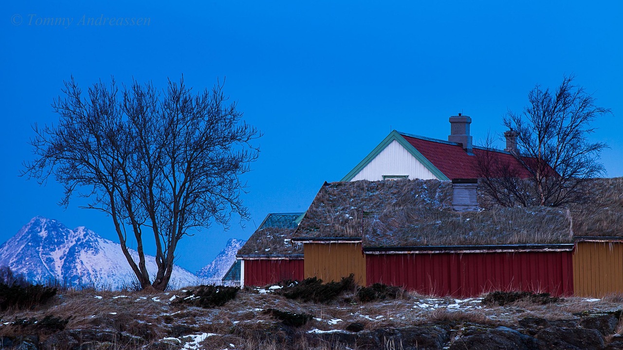
A village 40 km north of Bodø on the Rv 834, across a ten minute car ferry from Festvåg to Misten, holding one of Norway's best preserved…
A harbour town at the northern end of the Nordland railway and a European Capital of Culture in 2024, with its airport about five minutes…
Last updated