2.8 km from Reine to the ridge
Hikers leave the car at the paid lot on Reine's outer harbour and walk 1.9 km to the foot of the steps, through the village and out along the E10. The steps rise from the old road outside the Ramsvik tunnel, which walkers may not enter. Bus passengers get off at Reine kryss.
A round trip from the village takes three to four hours in all. The stairs cover about 2 km there and back, and most walkers reach the ridge in 45 minutes to an hour; the road from Reine adds about half an hour each way.
No. Reinebringen is not a winter walk: the stairs ice over, and avalanches from the mountain run right down to the sea. A chain closes the bottom of the stairs from autumn until the end of April.
Walking the trail costs nothing. Parking in Reine is allowed only in marked car parks, and the outer harbour lot, where most hikers start, charges a fee.
The quietest weeks are the last fortnight of May and late September. On any day the stairs are most crowded from late morning to early afternoon, when coach tours arrive, and a light summer evening is the calmer choice.
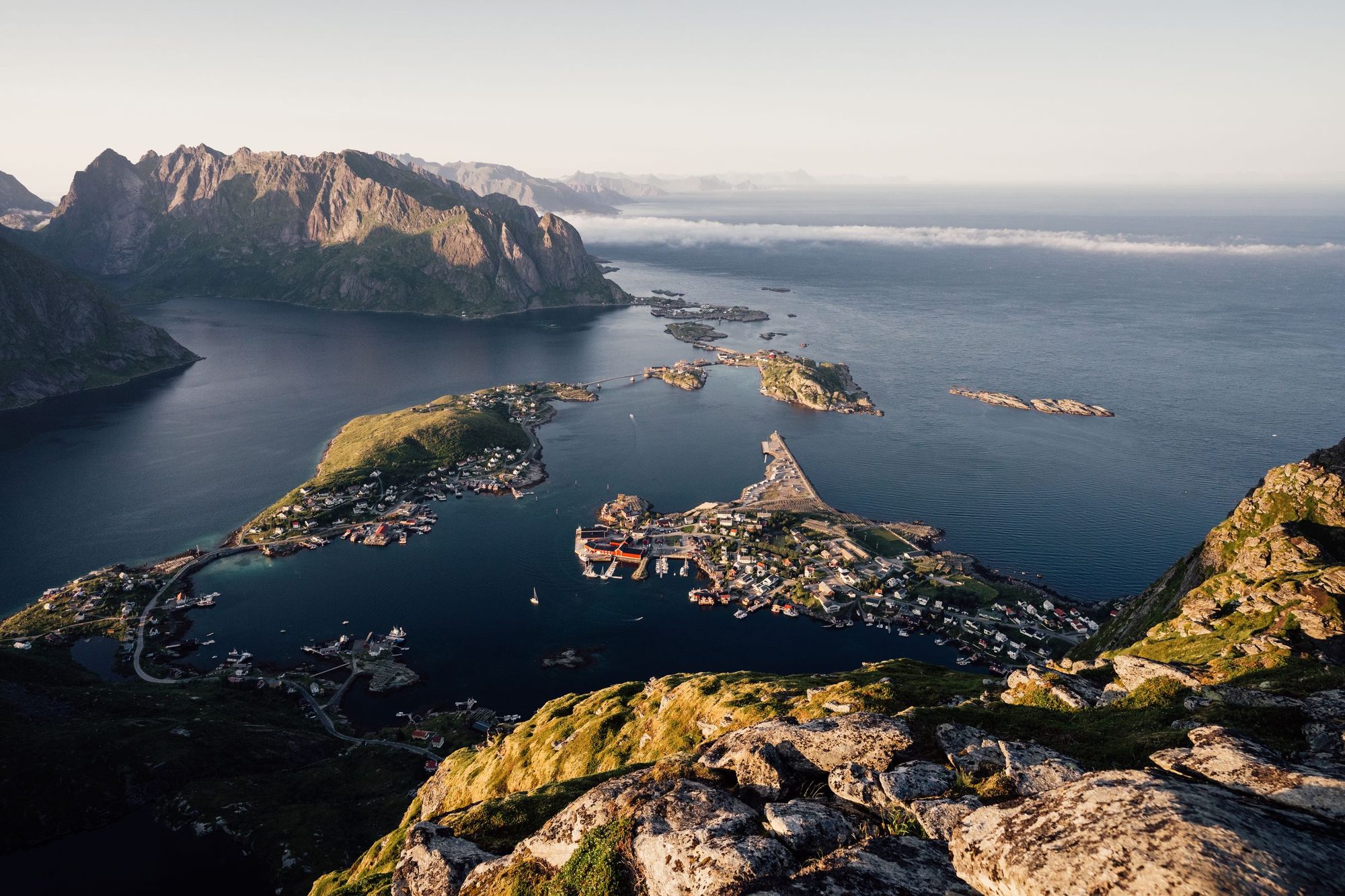
Go late on a light summer evening and the ridge is shared with a handful of walkers instead of a queue. An hour of stone steps from the road, then Reine's islands spread out below.
Route from OpenStreetMap, routed over the mapped paths and roads and round the outside of the Ramsvik tunnel. Heights are from a 30 m terrain model, which agrees with the mapped spot heights to within 6 m. The line ends where the steps meet the ridge, about 20 m below the crest's 449 m spot height, so the chart tops out lower than the climb in the band; read it as a shape, not a survey.
From the ridge you look down on Reine, Hamnøy and Sakrisøy, with the fjord and the peaks of Moskenesøya behind them. It is one of the most walked mountains in Norway.
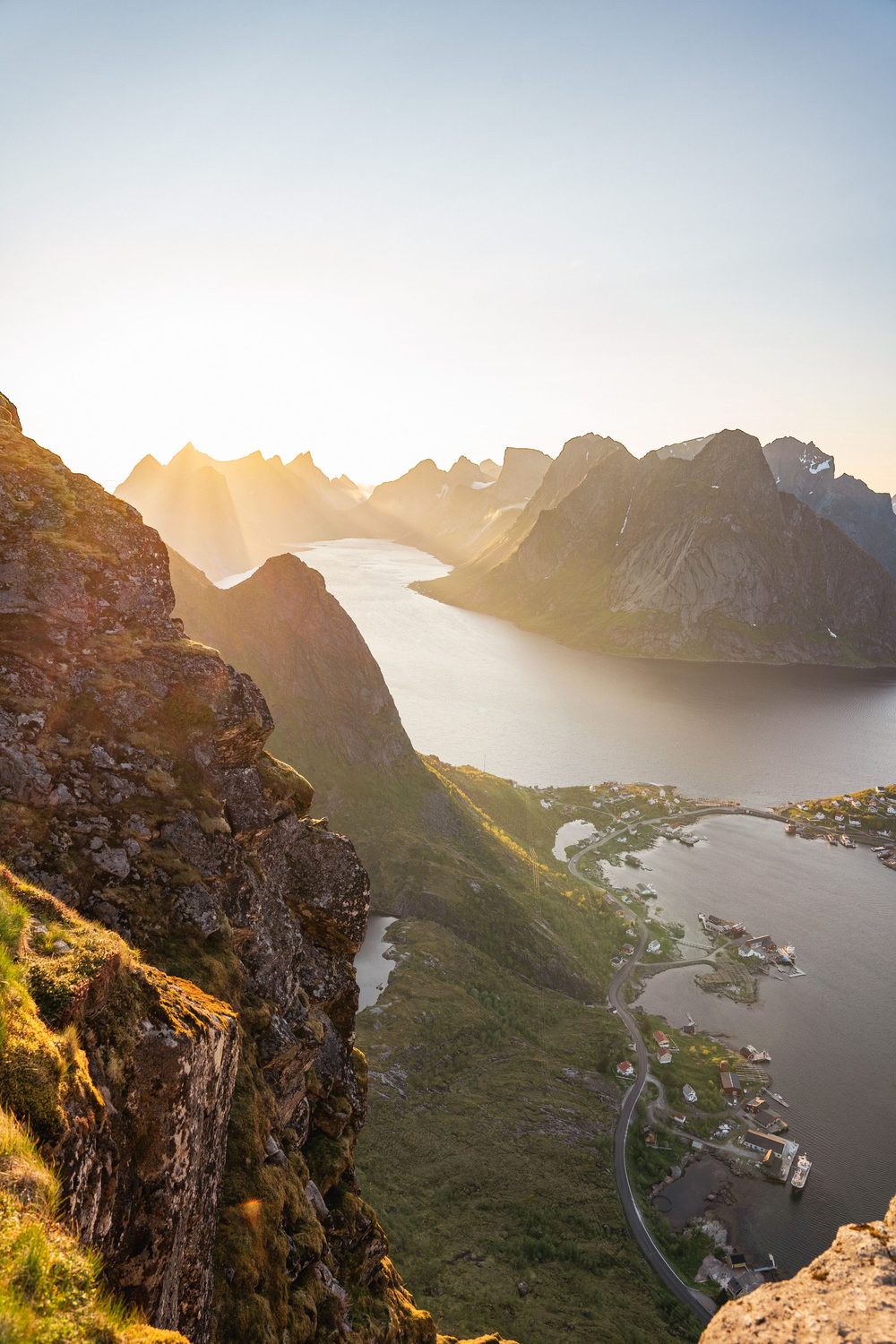
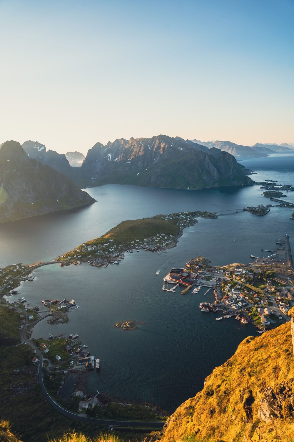
The old path eroded under the traffic, so Sherpa crews from Nepal laid a stone staircase almost to the ridge. The stair is most of the walk.
The stair climbs the back of the mountain, looking out over open sea and the road south to Å. Reine comes into sight at the crest, where most walkers stop.
The ridge runs on to the true summit over two stretches no wider than the path, with drops either side. Go on only on a dry, windless day, and only if you have a head for heights.
The first 1.8 km is on tarmac: through Reine, beside the E10 and round the Ramsvik tunnel on the old coast road, because walkers cannot use the tunnel. Then come almost 2,000 stone steps, steep but evenly laid, with three benches on the way.
Wet stone is slippery, so wear boots with grip. The descent is hard on the knees, and poles help. Afterwards, pair the walk with a stroll round the harbour in Reine.
Another walk on Moskenesøya, then the villages
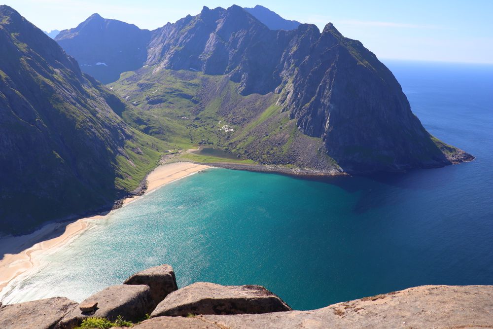
A beach with no road to it, reached over a boggy pass from Fredvang. Ryten, above it, is the gentler climb.
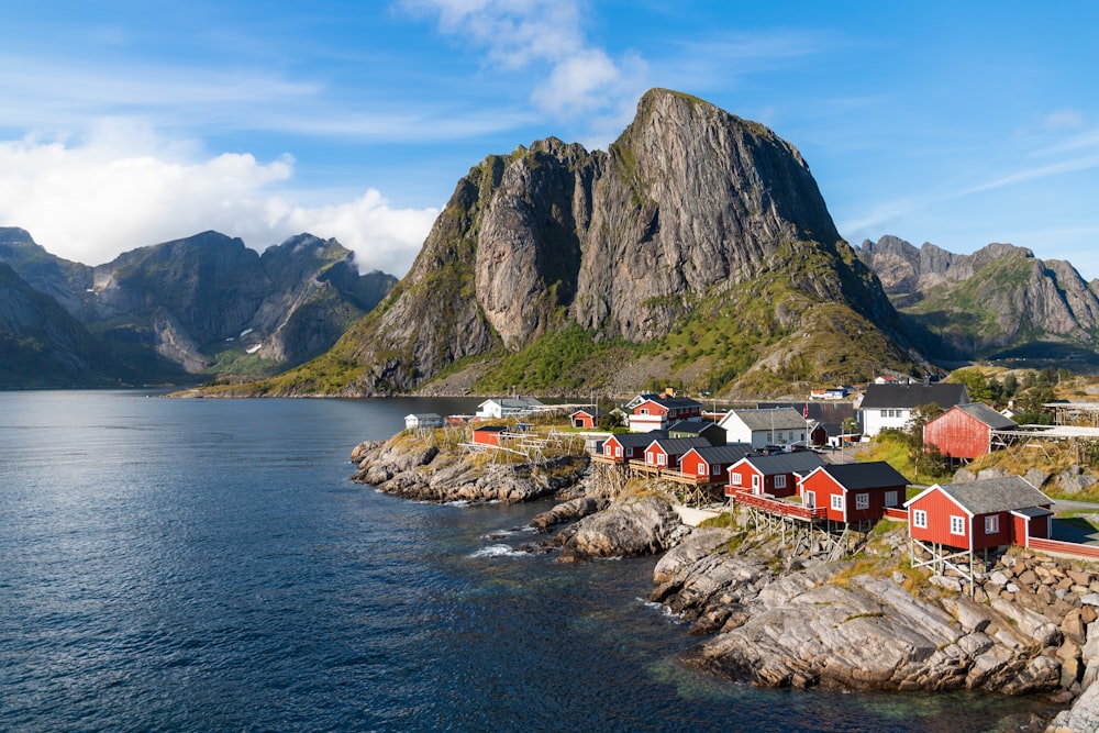
The village the walk leaves from. Give the stretch between Hamnøy and Reine as much time as the village itself.
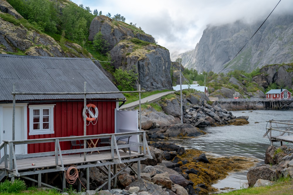
One of the oldest and most complete fishing villages in Norway, folded into a narrow inlet off the E10.
Last updated