 Submit a photo
Ninety seconds on Cumbemayo
Come up from Cajamarca and you walk one high plateau with two sights on it, a pre-Inca canal and a forest of volcanic stone, with petroglyphs carved into the rock between them.
The canal runs as a groove in volcanic rock, in straight lines that break at sharp right angles. The channel is only about 35 to 50 centimetres wide, narrow enough to step across.
The turns slowed the water. In the Andes a zigzag also reads as the movement of a serpent, a symbol of water and fertility, so the canal carries a ritual meaning as well as a practical one.
Look along the channel walls for petroglyphs: geometric designs, human figures and motifs tied to water. The walls of the nearby caves and rock shelters are marked with similar engravings.
The Santuario is a cliff face shaped like a giant human head. At its mouth sits a grotto about two and a half metres across, its walls cut with low reliefs.
Los Frailones stand in a narrow gorge of volcanic stone. From a distance the pillars look like hooded friars, which is where the name comes from. Wind and rain most likely carved them.
From the control post, the walk starts among the rock formations, at a plug of volcanic rock with a small cave full of petroglyphs. It then crosses the narrow gorge of Los Frailones, and somewhere along the way the route passes through a natural tunnel in the rock.
The second half of the walk follows the canal itself. Only its first 850 metres, measured from the intake, is open to visitors, so that is the stretch you walk beside, with the grooves and turns at your feet.
Dozens of agencies around the Plaza de Armas in Cajamarca sell the trip. It runs about four hours from town and back, typically leaving mid-morning and returning by mid-afternoon.
A guide is not compulsory at the site, but one adds the history and cultural meaning behind the canal, the Santuario and the carvings.
Carry cash, because cards are not always accepted up here. Dress in layers you can add and shed: temperatures at the site run between about 4 and 18 °C, and they change abruptly.
A family sells food at the site, which helps on a tour that runs through lunch.
Explore the rest of Cajamarca
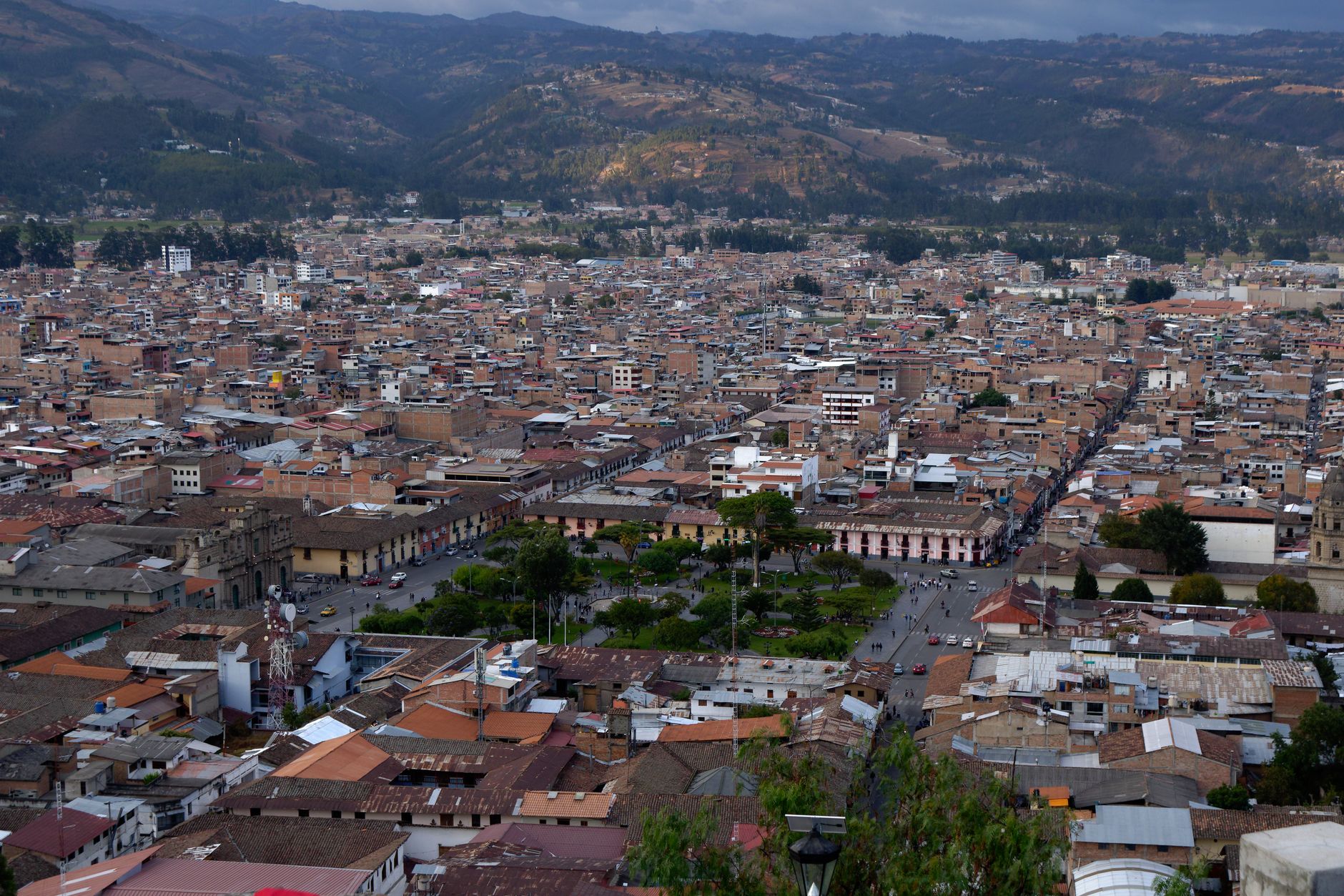
The northern highland city where the Spanish seized Atahualpa in 1532 and the Inca empire effectively ended. It sits at 2,750 metres in a…
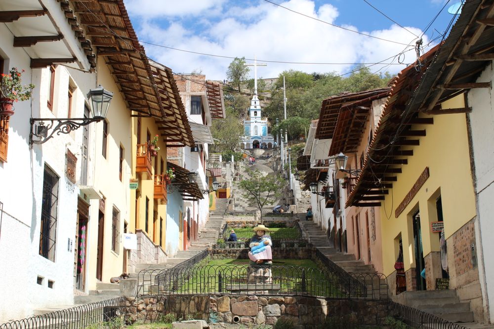
Stone steps climb from town to the top of this hill, with the whole of Cajamarca laid out below. At the summit is the carved rock called…
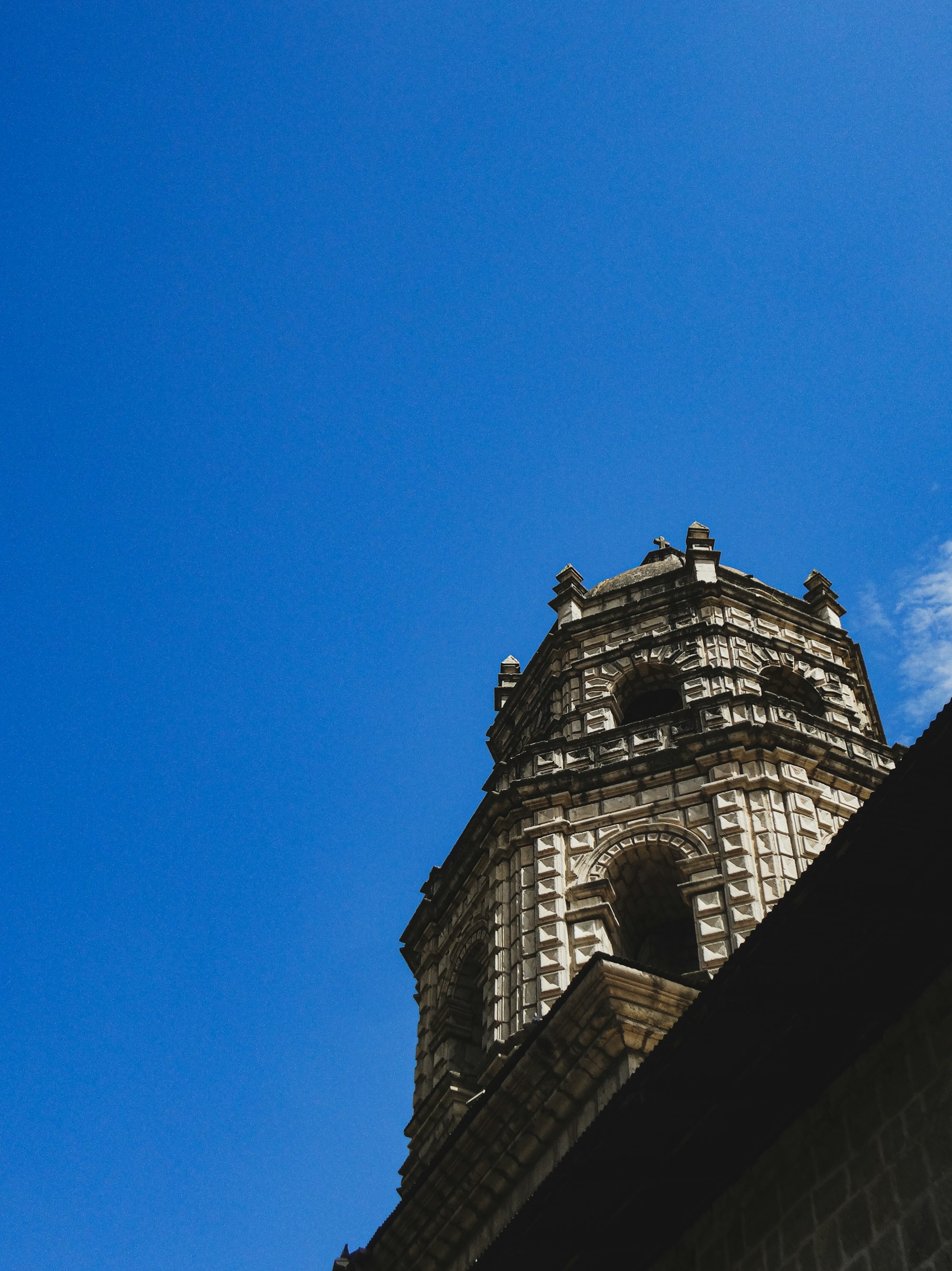
Cajamarca's cathedral stands on the Plaza de Armas, a baroque church with a carved stone front set between two towers that were never…
The official pages this guide was checked against.
Last updated