Ninety seconds on Sämtisersee
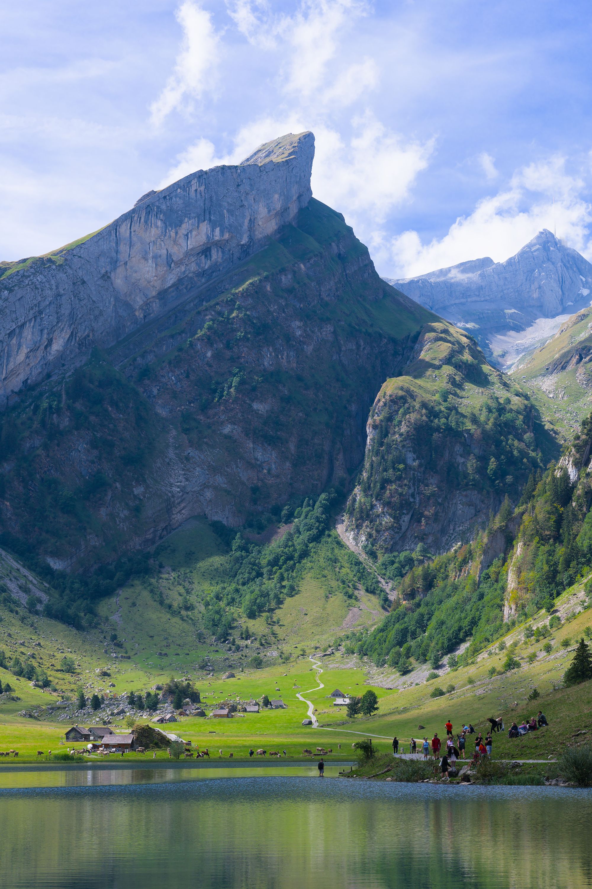
After a snowy winter the Sämtisersee fills its hollow under the Alpstein ridges, and in a dry year it can shrink almost to nothing, so you climb up from Brülisau never quite sure which lake you will find.
The lake has no stream running out of it. Every few years it is nearly empty, and in extreme years it has dried out completely. Its water drains away underground towards the Rhine valley.
When the water is down, a band of meadow and bare lakebed opens round the edge. The Sämtisersee sits in a closed hollow about 70 metres deep, ringed by the ridges of the Alpstein.
On clear, calm nights cold air sinks into the bowl and pools there. If you start at dawn, expect it to be far colder down by the lake than on the slopes above.
It is one of three lakes in the range, and the walk to it has one more stop worth your time. South of the route, in a forest clearing, stands the Maria Heimsuchung Chapel, where services are held on summer Sundays.
Start in Brülisau on the asphalt lane, easy going but steep. Walk up to Plattenbödeli, about an hour away.
From Plattenbödeli, leave the lane and take the trodden path straight across the meadow to the lake. Take your break at the grill spot right on the shore.
Carry on into the high valley beyond the lake, then down via Alp Soll. On the descents the gradient reaches 36 percent in places, and the path turns slippery after rain. From Alp Soll the route drops past the Ruhesitz and back to Brülisau.
In a long dry spell, do not light a fire at the lakeside grill. Pack hiking poles for the steep descents and carry plenty of water.
Swimming is possible in high summer, when the water warms up. Cattle graze the alps around the lake, so keep a dog on a lead near them. Walk round a herd calmly and give it a gap of 20 to 50 metres.
Explore the rest of Appenzell
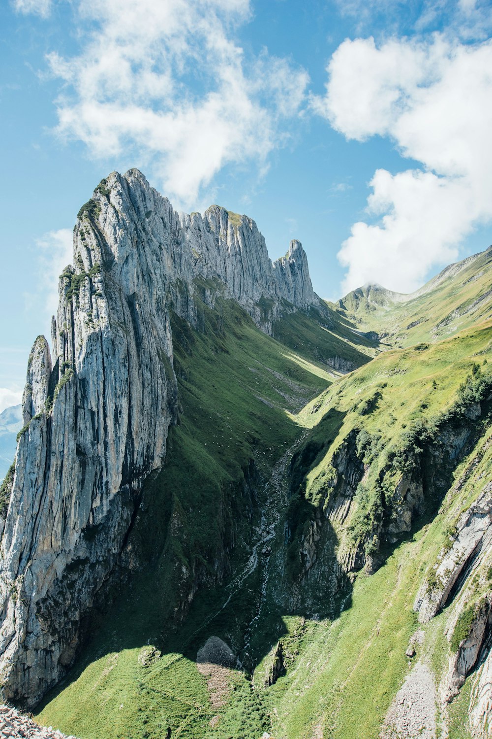
A narrow notch in the southern ridge of the Alpstein looks along the jagged Kreuzberge towers and straight down into the Rhine valley. Most…
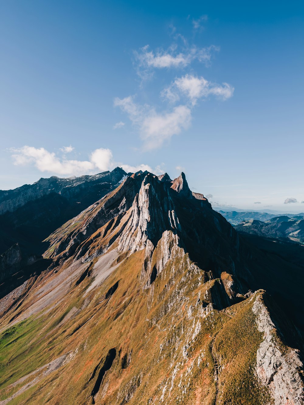
Above the Ebenalp cable car, a mountain inn stands alone on the narrow summit of the Schäfler at 1,924 metres, with a view across the…
Beside the town hall on the Hauptgasse, the museum holds the canton's hand embroidery, festival costumes, painted farm furniture and the…