 Submit a photo
Ninety seconds on Pokut Plateau
On some mornings at Pokut you stand above a sea of cloud, on one of the finest terraces in the Kaçkar mountains.
Pokut is a cluster of wooden houses on open ground at the top of the climb. From the edge of the pasture you look out across the peaks of the Kaçkar range.
In June the air can be clear, with snow still lying on the surrounding summits and the whole range in view from the terrace.
First settled about 200 years ago, Pokut is still a yayla, a pasture lived on through the summer. Some of its houses now take guests and serve food and drink: a home-style breakfast, a meal or just a drink on a terrace facing the mountains. The cooking is local, and Pokut's dishes are ones you will find only up here.
Two routes lead on from Pokut to Sal, the next yayla along: a 2.5 km footpath, or the short drive along the track, which is easier in wind and cold.
Beyond Sal lies Huser, a further yayla. Only a 4x4 should attempt the road on to it, and bad weather can stop the trip.
To be on the plateau in the first hours of the morning, stay the night in one of the guesthouses or pitch a tent on the plateau.
Driving yourself suits a confident driver used to steep dirt roads. Without your own vehicle, take a seat on the high-clearance minibuses that leave from the centre of Çamlıhemşin.
Organised tours run to the plateau regularly and save you the planning. They keep to a timetable, though, and a tour may allow only about an hour on top.
Go on a clear day and be up on the plateau before about 10 or 11am, when fog usually starts to settle on the yaylas and hides the view.
Avoid white trainers and wear boots, rubber ones if you have them. Pack warm layers too: the plateau can be cold, and the wind on the way to Sal makes it colder.
Explore the rest of Ayder
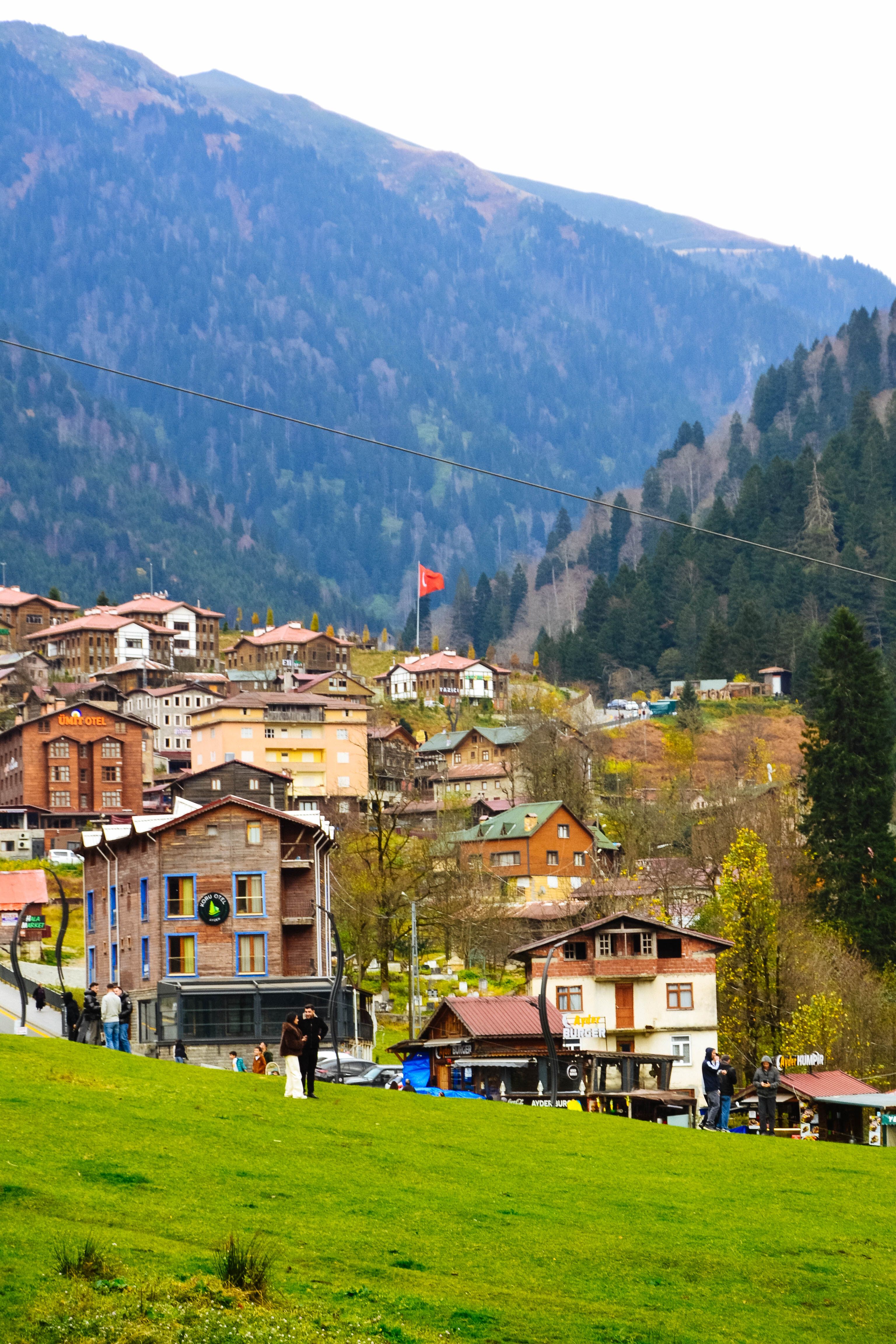
Spruce and beech forest closes around this highland meadow at 1,350 metres, where a hot spring rising at fifty degrees from deep…
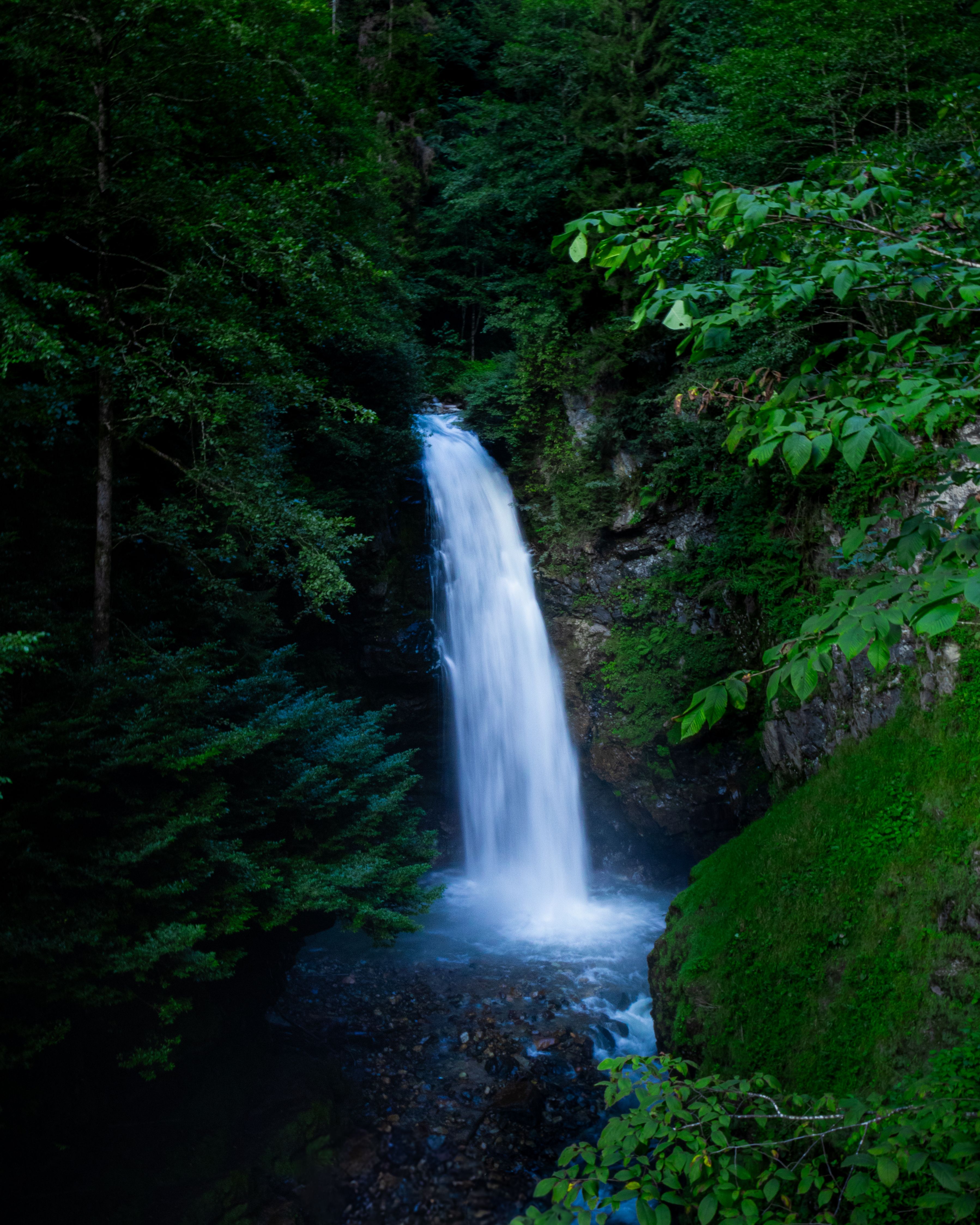
Palovit Waterfall is a registered natural site at about 964 m, reached by road from Çamlıhemşin. It is among the fullest waterfalls in Rize…
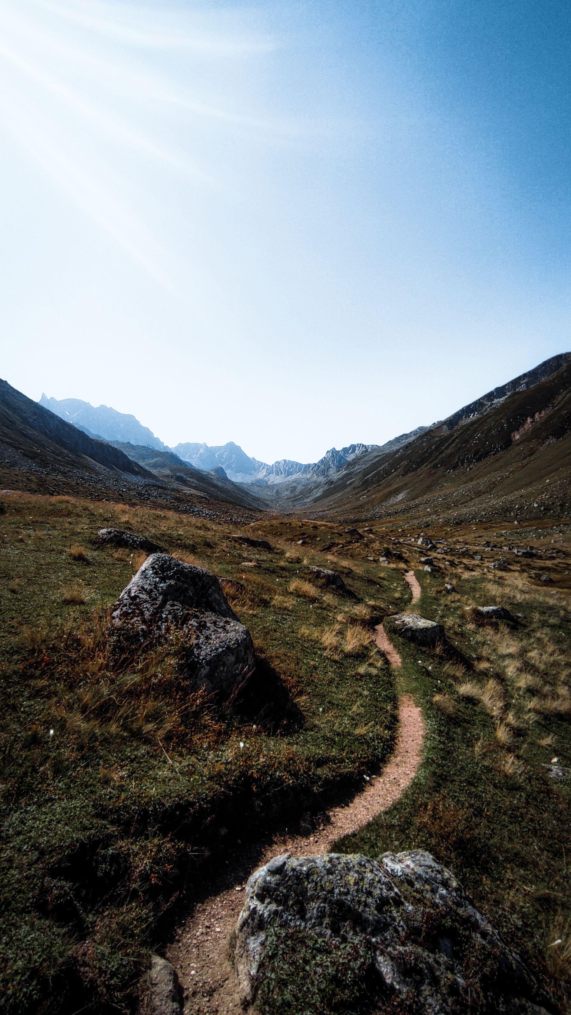
Kaçkar Mountains National Park covers the high ground of the Kaçkar range above Ayder, a country of cirques, glacial valleys and summer…
Last updated