 Submit a photo
Ninety seconds on Dunnet Head
Yes. Dunnet Head marks the most northerly point of the Scottish mainland, a title often wrongly given to John o' Groats. The B855, the single-track road that links Brough with Dunnet village, is the most northerly road on mainland Britain.
About 17 km. Dunnet Head is a peninsula on the northern coast of Caithness, and John o' Groats lies that distance to the east of it.
By car is simplest. The final road to the lighthouse is narrow and winds through moorland, so drivers need to take it with care. Buses run as far as Dunnet village, but reaching the headland itself takes a taxi or a long walk.
Not necessarily. The large car park, run by Highland Council, works on an invitation to pay: signs ask drivers for a payment, and ticket machines take it in cash or by card.
From April through to July or August, which is when puffins return to the cliffs. A sighting is never certain: some visitors in season leave having seen other seabirds but no puffins at all.
No. The lighthouse is not open to the public. Visitors see it from outside, from the reserve's paths and from the viewing platform that looks onto the seabird cliffs nearby.
Come here, not to the famous signpost further east, to stand on the true northern tip of the Scottish mainland. The nearest point of Orkney is less than 11 km across the firth.
The lighthouse stands on the 91-metre cliff top of Easter Head, on Dunnet Head. Robert Stevenson built it in 1831.
The white stone tower flashes white four times every 30 seconds. No keeper lives here now, and the light is monitored remotely from Edinburgh.
From the top of the cliffs the view runs a full 360 degrees over the sea. On a good day the cliffs of Hoy, in the Orkney Isles, stand out clearly on the far side of the firth.
The headland is a seabird reserve, and its birds are counted every year for national surveys. Puffins, razorbills and guillemots nest on the cliff ledges. Coastal heath and grassland above them hold spring squill, thrift and roseroot.
The headland also carries minor fortifications from the Second World War, built to protect the naval base at Scapa Flow.
A path runs from the car park out to the cliff-top viewpoint. A purpose-built viewing platform looks onto the neighbouring cliffs, and plaques around it tell you a little about each species.
Next, walk the path behind the lighthouse to the top of the hill. It passes a handful of old army buildings on the way and ends with a wide outlook over the cliffs.
Through the summer, a reserve volunteer is usually on hand to tell you about the bird colonies.
Afterwards, drive east to John o' Groats for the signpost photograph at the traditional end of the road from Land's End.
The weather here is unpredictable all year, so pack sturdy footwear, warm layers and waterproofs. Binoculars help too, pulling the Orkney Islands much closer.
Wind can gust at the cliffs without warning, so keep well back from the edge.
The headland has no shops and no toilets. The nearest toilets are at the Seadrift visitor centre at Dunnet Sands, 6 km away, during its opening hours.
Explore the rest of Thurso
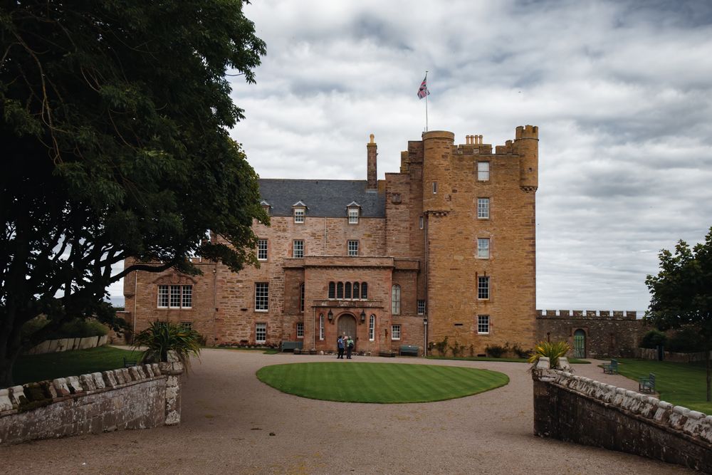
Restored by the late Queen Mother, who spent her summers here, this turreted castle above the Pentland Firth keeps her furniture, paintings…
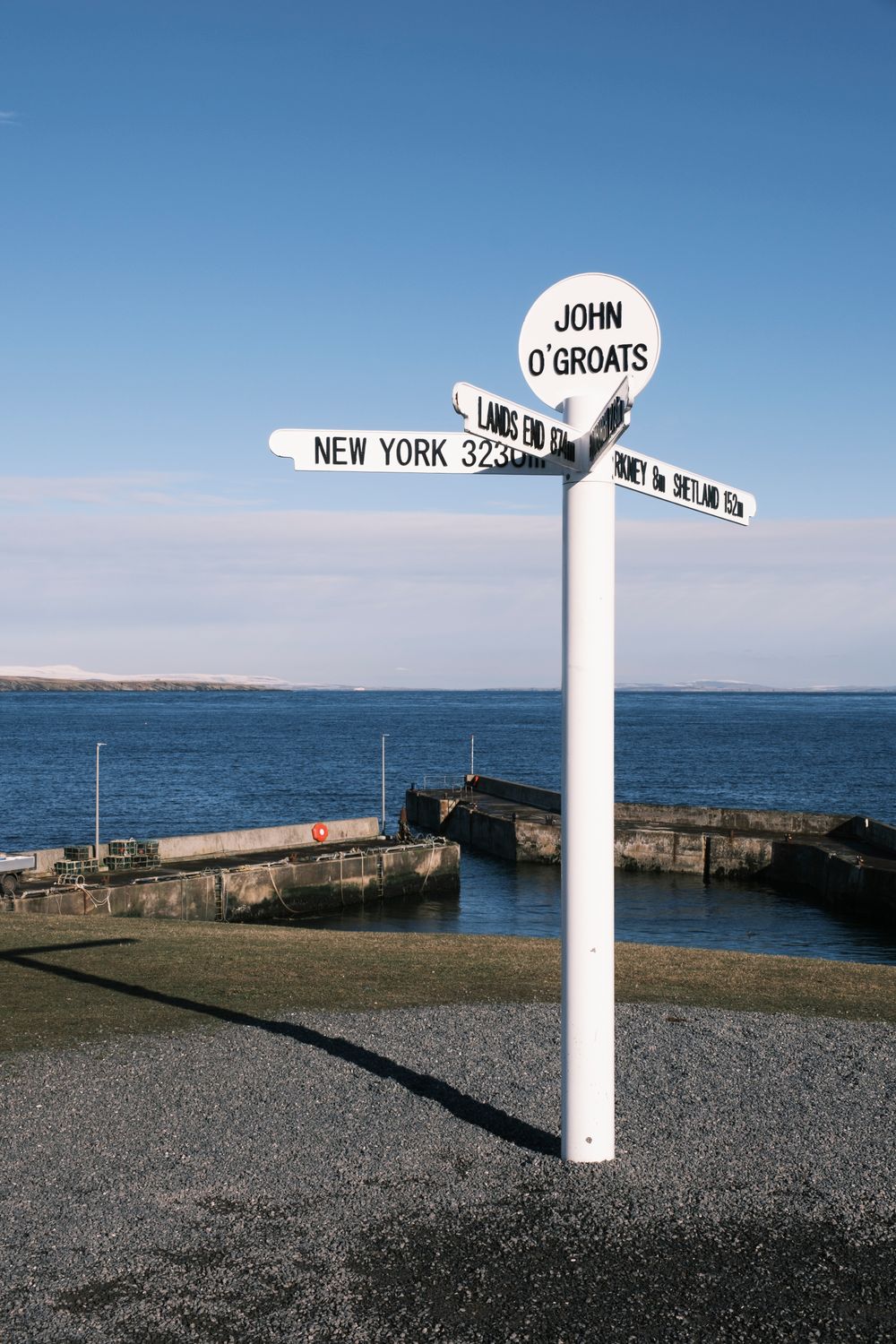
A cluster of houses and a small harbour at the north-east corner of the mainland, John o' Groats marks the traditional end of the road from…
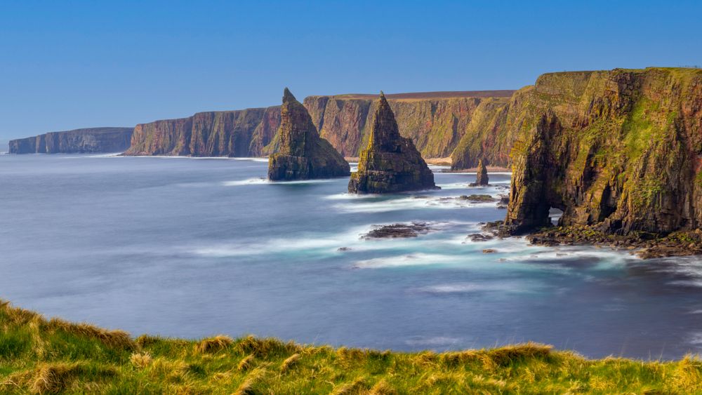
Pointed sea stacks rise off the cliffs south of the Duncansby Head lighthouse, reached by a grassy clifftop walk of 15 to 20 minutes from…
Last updated