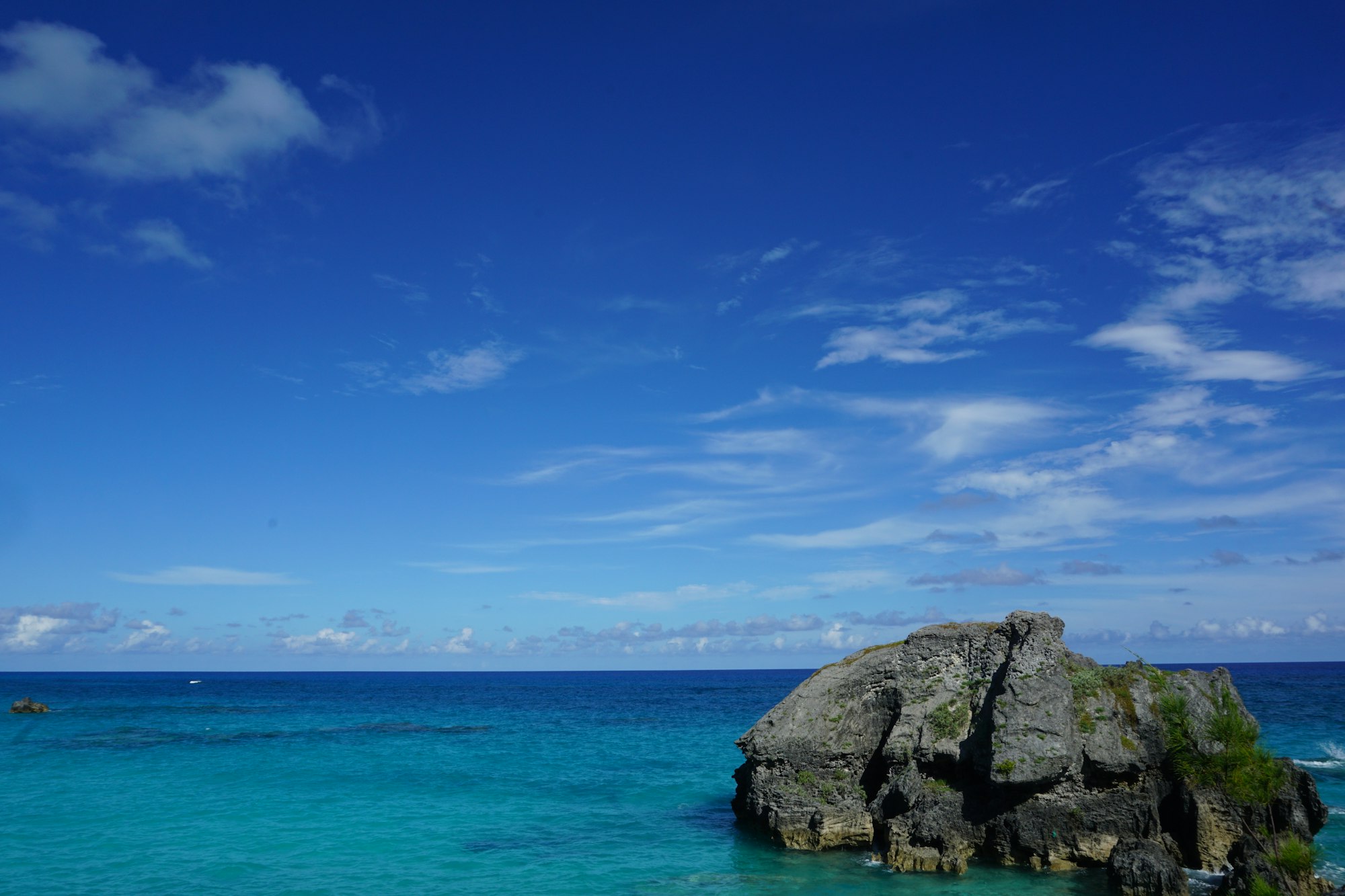
5.8 km on the old railway bed
Start at the aquarium in the morning and walk east. You get Bermuda's north shore on a level old rail bed, a swim at Shelly Bay on the way, and a finish across Bailey's Bay on a footbridge at close to water level.
Trail line from OpenStreetMap; elevation from a 30 m terrain model, so treat the metres as a shape rather than a survey. Dashed stretches are where the trail breaks and the signed route uses the road.
The trail runs on the bed of the railway that crossed Bermuda until 1948, and trains cannot take steep climbs, so the whole walk stays within about twenty metres of the sea. It keeps behind the houses and away from the traffic for most of its length, in cuttings and along the shore.
The last stretch is the reason to choose this section over the others. A charity raised the money for a footbridge across Bailey's Bay, a little over two hundred metres of spans opened in December 2014, and it reconnected Crawl Hill to Coney Island. Before it, the walk ended at the water and went back onto the road.
North Shore Road runs beside the route the whole way, and the buses on it stop at Flatts and at Bailey's Bay. You can start, stop or give up anywhere, which almost no other walk on the island allows.
Level underfoot almost throughout. Surfaces change from paved to packed ground, and between Shelly Bay and Radnor Road the trail starts and stops in short pieces, with the Railway Trail signs joining them. On a bicycle, the old bridges and steps have to be taken on foot.
Pages for the places this walk passes
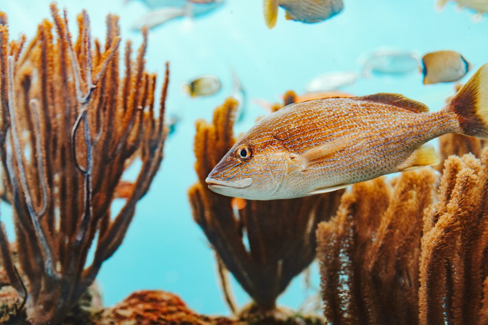
After one thirty the feeds follow one after another: harbour seals, then an aquarist in the reef tank, then the turtles.
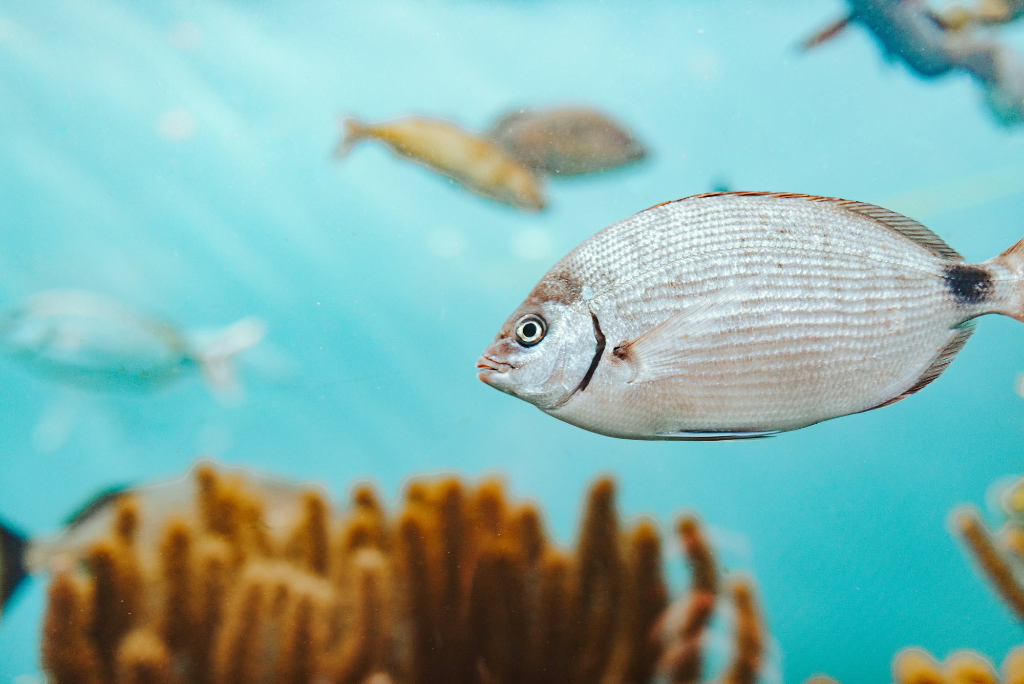
Stand on the bridge at the turn of the tide, when eagle rays and turtles pass between sound and sea.