 Submit a photo
Ninety seconds on Cerro Castillo National Park
Standing at the lagoon under Cerro Castillo's black basalt spires gives you a view that walkers compare with Torres del Paine, and the whole climb fits in one day from Villa Cerro Castillo.
The park is named for a ridge of jet-black basalt spires. From the viewpoint you look down on a cobalt-blue lagoon, with glaciers on the rock below the towers and waterfalls running into the water.
The high lagoons recall Laguna de los Tres above El Chaltén in Argentina, on far quieter trails. For a multi-day walk, the traverse here makes a less crowded alternative to the W in Torres del Paine.
The lagoon is the day hike, out and back from the village. The Las Horquetas traverse circles the ridge over mountain passes and bridged rivers, camping as you go. Weather on those passes can turn fast, from drizzle to sleet and then snow.
Villa Cerro Castillo is the base for the day hike to the lagoon, on the Mirador Laguna trail. Buy your day pass online from the park concession before you set out, and start early, since the climb fills most of the day.
The first five kilometres run through lenga and ñirre forest and open farmland, with a few river crossings. Keep your ticket to hand: a ranger station near the park boundary checks it again before the last stretch.
That last stretch is the hard part: more than 300 metres of climbing on exposed scree, up to the rim of the lagoon. Come back down the same trail.
The Las Horquetas traverse is the longer choice, three to four days with four camping zones. It needs a ticket of three days or more, bought before you arrive and validated at the entrance, where entry runs from 08:00 to 14:00.
Under the park's winter protocol, self-guided entry is restricted and you go in with a certified mountain guide. Each guide must hold a current certification (ACGM, UIAGM, ANGM or equivalent) and file a declaration of guide and walkers at least five days ahead.
Contact your guide at least a week before the walk, and ask to see the certificate before you pay. Outside the protocol months, you can walk the day hike and the traverse on your own with a ticket.
Pack warm layers, a waterproof and windproof shell, trekking boots, hat and gloves, sun protection and a headlamp, and bring poles for the scree. Water from taps, rivers, lakes and falls along the routes is good to drink, so you can carry less of it.
Phone signal is patchy or absent, so download an offline map and leave your route with someone before you start. On the traverse, leave camp before nine in the morning to cross the pass before noon, ahead of the strong afternoon wind.
Coyhaique, and further afield
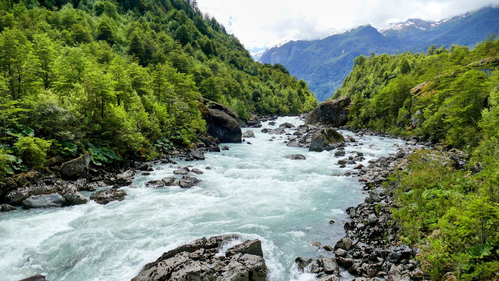
Coyhaique is the capital of Aysén and the only real city on the Carretera Austral, a grid of some sixty thousand set in a bowl of hills…
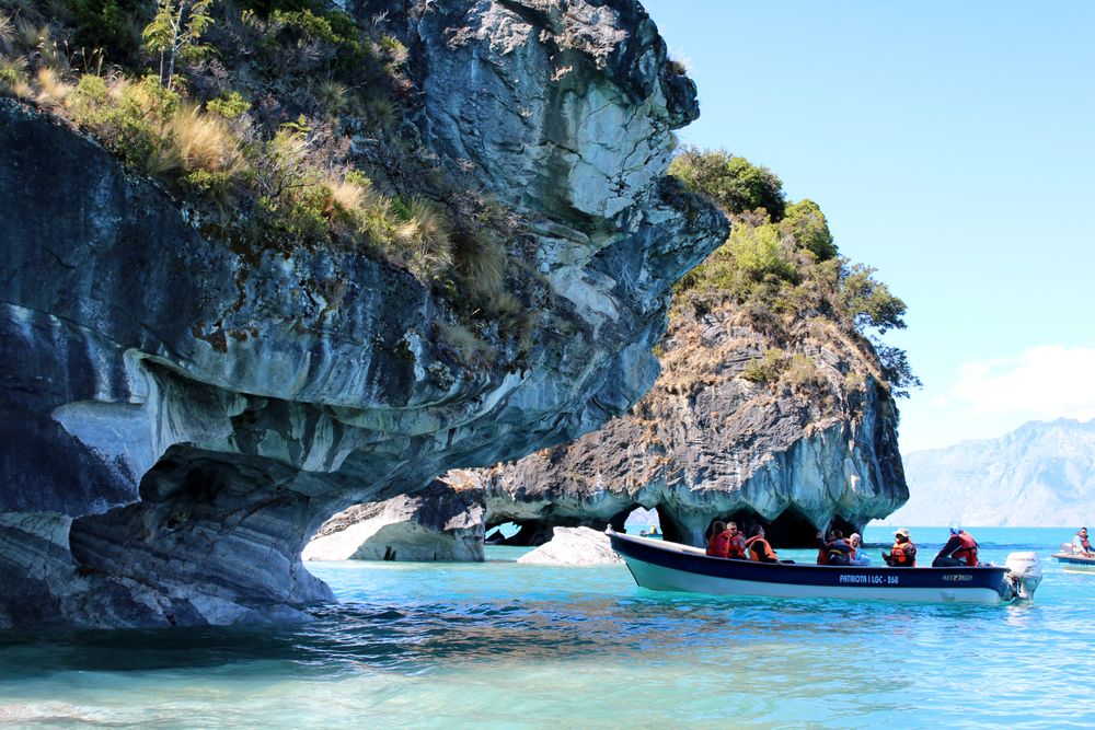
One street of about five hundred on the west shore of Lago General Carrera, halfway down the Carretera Austral and built entirely around…
Last updated