Things to do
6-
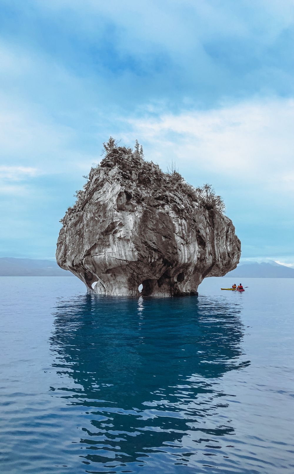
Capillas de Mármol
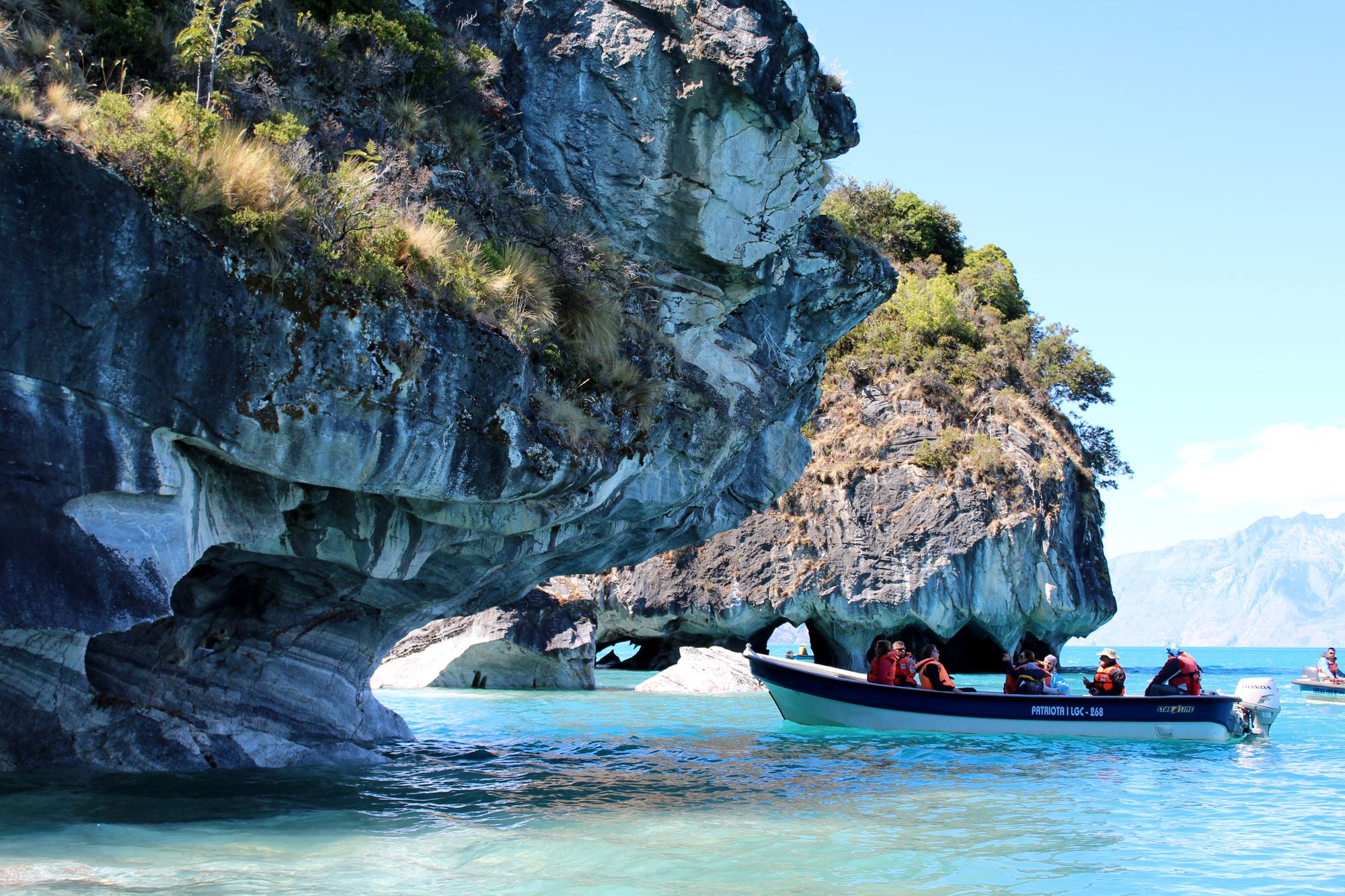
Thousands of years of wave action have cut the calcium carbonate headland south of the village into pillars, arches and a low roofed chamber that a boat can enter when the lake is flat. Trips run in small launches and kayaks from the village jetty, and wind cancels them outright, which is common after midday.
-
Lago General Carrera
The second largest lake in South America, shared with Argentina, where it carries the name Lago Buenos Aires, and coloured an opaque blue by rock flour off the glaciers that feed it. Its own weather builds fast and the water is deep and cold, so launches leave early and turn back without argument.
-
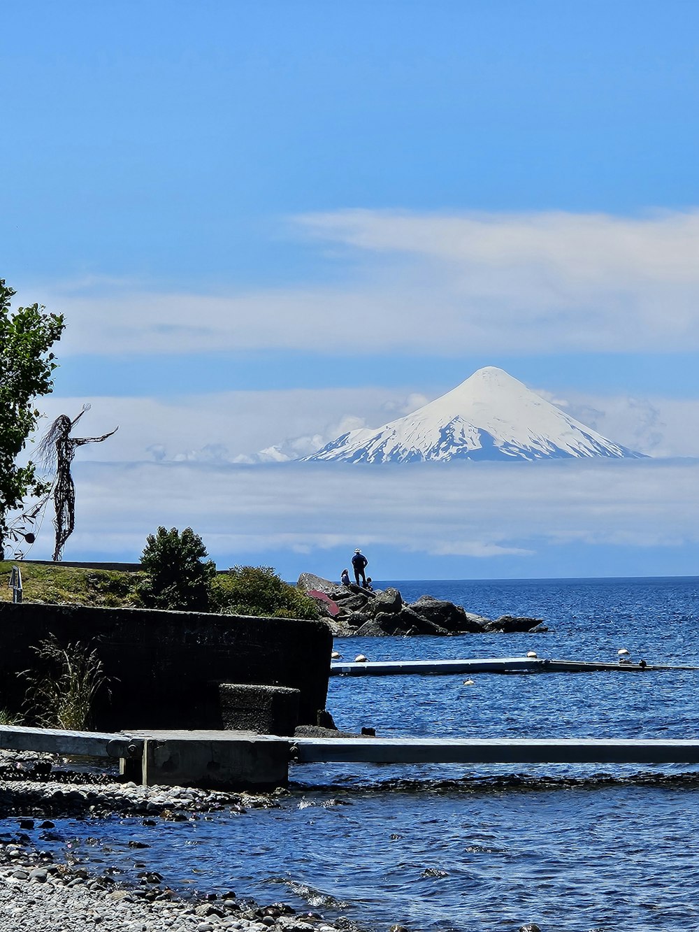
Puerto Guadal
A village on the southern shore where the lake narrows toward the Baker, with poplar windbreaks, a grey shingle beach and one of the few sheltered aspects on this water. It sits on the road east to Chile Chico and the Argentine border, a stretch cut into the cliff above the lake.
-
Glaciar Exploradores
The glacier spills off the eastern side of the Northern Patagonian Ice Field and is the one part of that ice sheet reachable on foot in a single day from the Carretera Austral. The approach is rough gravel road, then forest trail, and stepping onto the ice needs crampons and a licensed guide.
-
Monte San Valentín
At about 4,058 metres this is the highest summit in Patagonia, standing on the northern edge of the ice field and visible from the Valle Exploradores road on a rare clear morning. Climbing it is a full expedition, so from the road it is a horizon and not a plan.
-
Puerto Sánchez
A nearly emptied hamlet on a side road north along the lake, built for a marble and lead mine that closed and now down to a few dozen residents. It has marble caves of its own that see far fewer boats, the road in is narrow gravel cut into the cliff, and there is no fuel.