Globe Countries Cities Itineraries World's Best Hotels Events Login
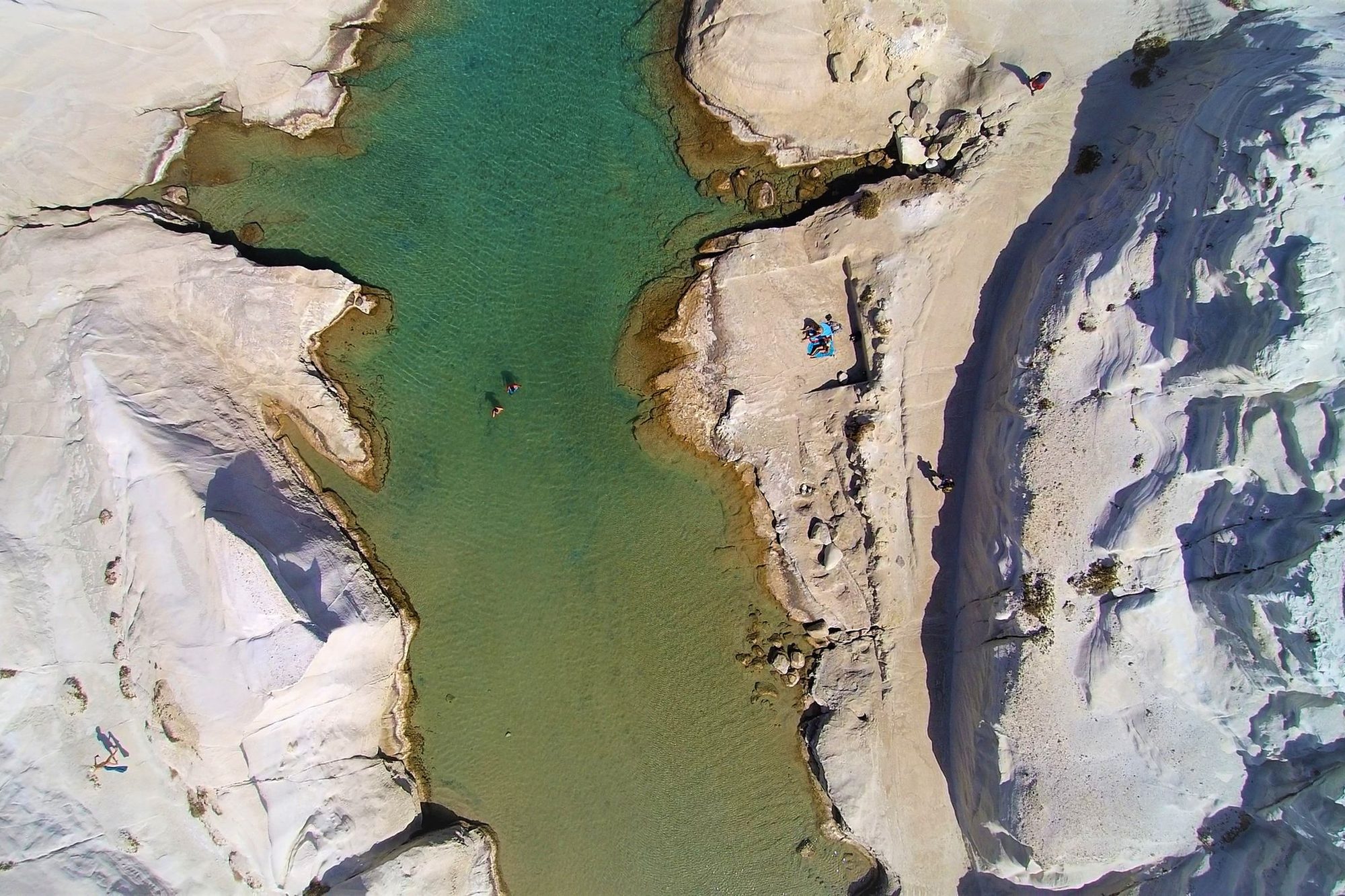
Aerial view of a narrow green inlet cutting through the smooth white volcanic rock of Sarakiniko on Milos
Dimitris Mourousiadis

Milos Needs Four Nights, a Car and a Calm Day

Written by Meridian Dispatch  ·  3 November 2026

You can swim off chalk-white rock at Sarakiniko in the morning and through the sea arches of Kleftiko after lunch on Milos. Give the island four nights and a hire car, because its best coves lie at the ends of dirt roads and the boat to the caves waits on the wind.


The colours come out of the ground. The rock around the coves runs white, red, ochre and grey, cut by the sea into arches, channels and pillars, and the island still digs it up: bentonite and perlite are mined on Milos today.

The Milos Mining Museum in Adamas, the port, explains how the cliffs seen from the boats came to be those colours. It opens from April to October, closed on Mondays outside high summer, and publishes a set of waymarked geological walks across the island.


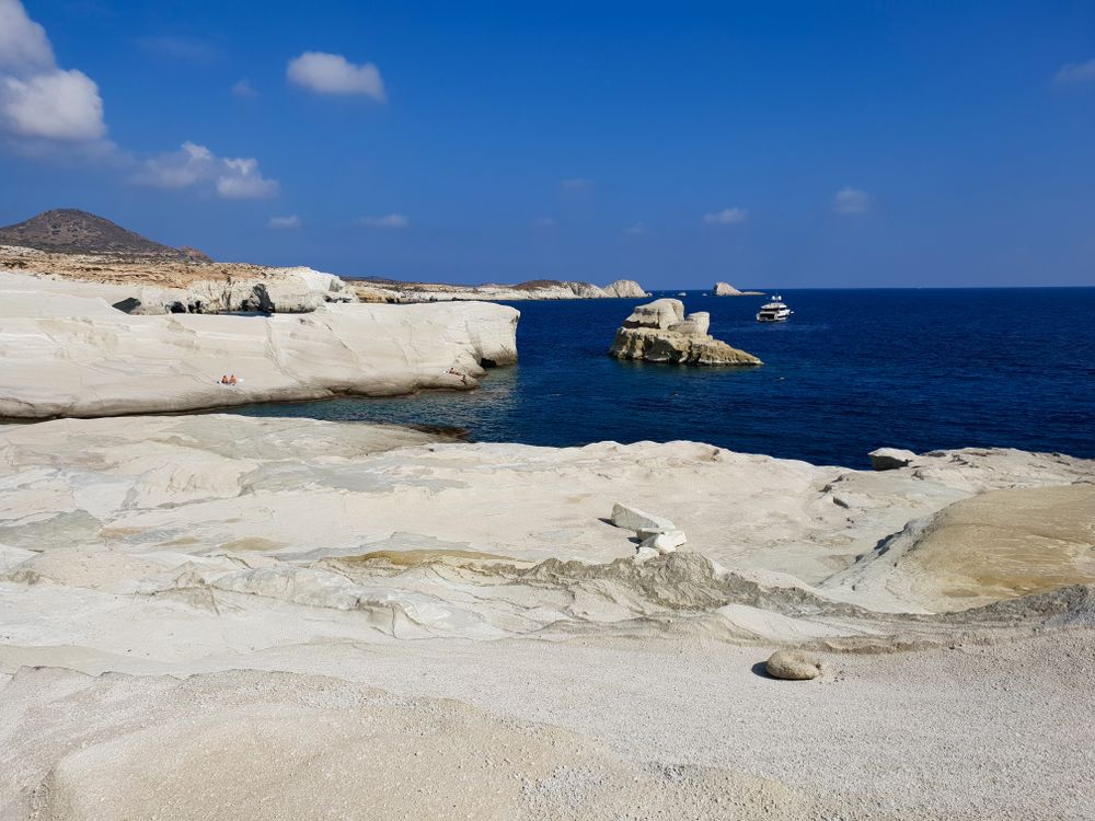
Wind and waves have worn the pale volcanic rock of Sarakiniko, on the north coast, into smooth ridges and gullies around a narrow inlet of turquoise water, with a sliver of sand at the head. There is no shade and nothing to buy.

Go in the morning, in shoes: by midday the rock is hotter and rougher underfoot than it looks. Bring water and something to sit under. In summer an island bus runs out from Adamas in about fifteen minutes.

The jumps off the walls of the inlet are the famous part and the risky one. The way out of the water runs back through a narrow gap in the rock, and on a day with any swell the sea pushes swimmers against its sides.
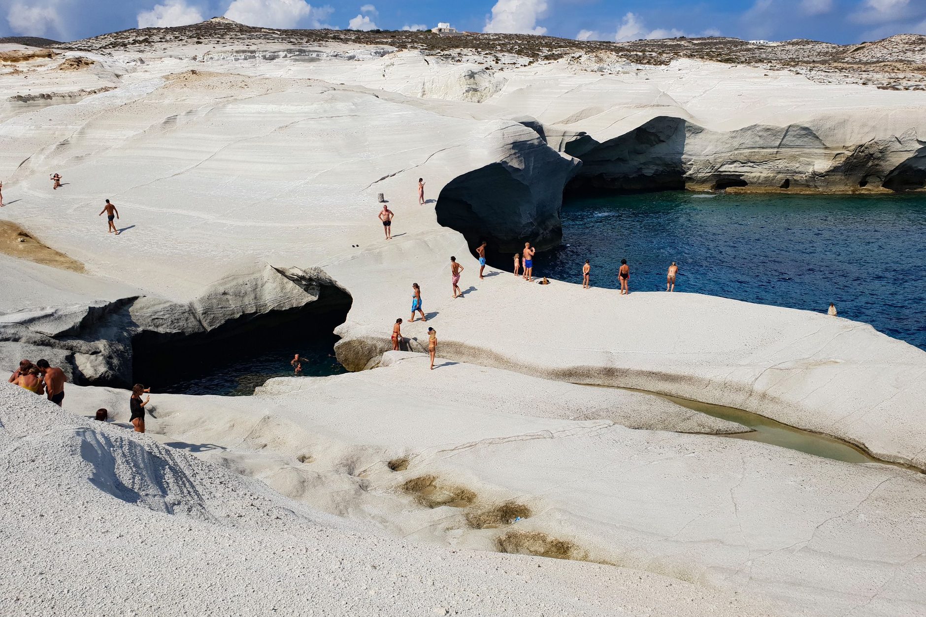
Swimmers and sunbathers on smooth white rock above a deep blue inlet and the dark mouths of sea arches at Sarakiniko
The white rock and the arches at Sarakiniko.Daciana Cristina Visan

You can also walk there. The museum's Sarakiniko route follows the coast for about 4.5 kilometres from Agios Konstantinos, over pale pumice and white diatomite, with a bus stop at each end. Its waymarks are small and few, and the last drop into the ravine at Sarakiniko is a scramble.

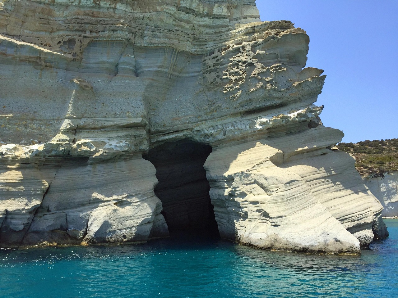
Kleftiko, on the south-west tip, has no road at all. Sea caves, arches and white pillars of rock stand in deep water there, and day boats anchor so passengers can swim through the arches. Most leave from Adamas; a few smaller operators on the south coast, closer to the caves, rent out boats you can skipper yourself without a licence.
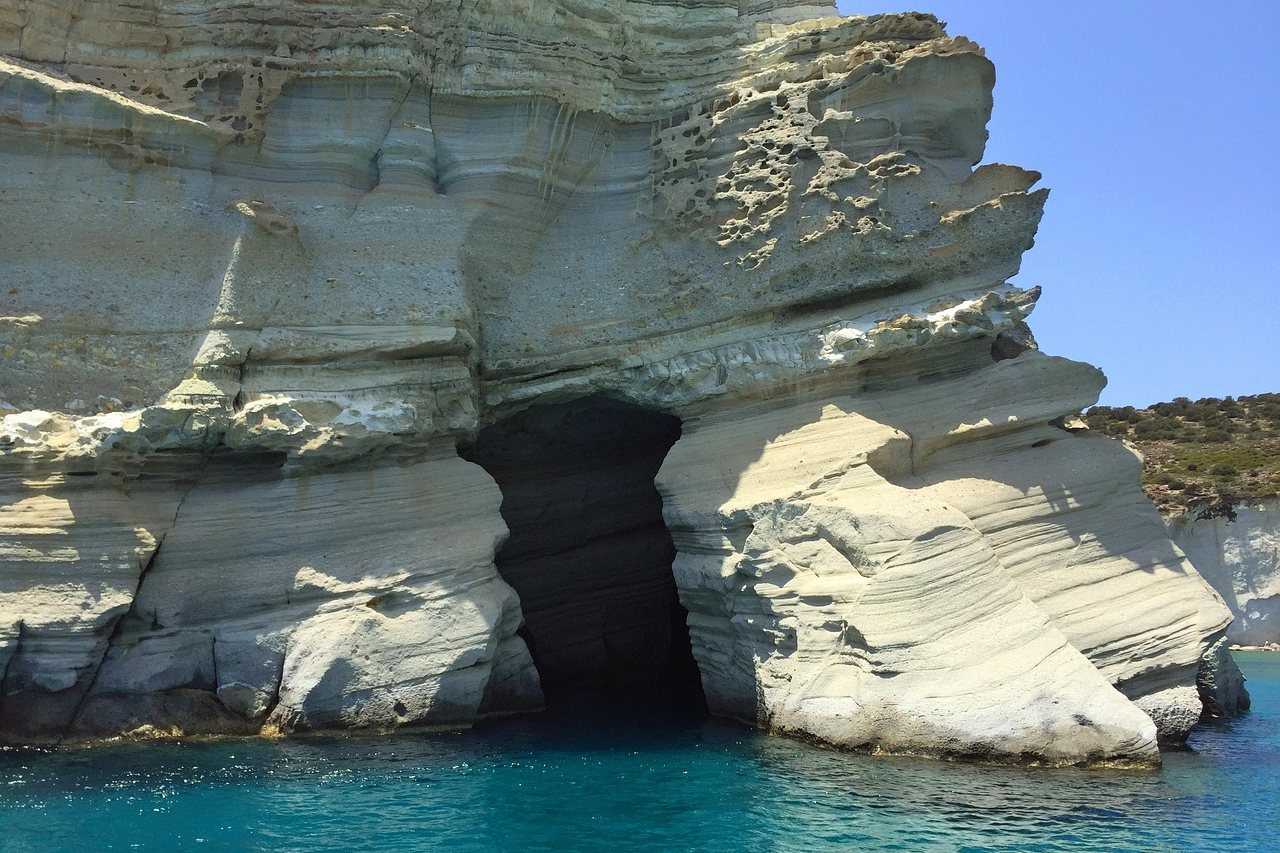
A dark sea cave opening at the waterline in layered white cliffs above turquoise water at Kleftiko
A sea cave in the white cliffs at Kleftiko.tylerd

Book the boat to Kleftiko for the first calm day of the stay.

From June to September the meltemi, the summer north wind, can rise in the afternoon and cancel the boats at short notice. A cancelled trip is usually moved to the next calm day or refunded, which is no help on a final morning, so keep a spare day behind it.

On a blowing day Sarakiniko, Papafragas and Pollonia turn choppy, and the south-coast beaches such as Paleochori and Firiplaka are the calmer swim.


The old sulphur mines at Paliorema, on the east coast, signed Thiorichia, sit at the foot of a ravine at the end of a dirt road: stone buildings, wagon rails, rusted machinery and the miners' quarters. Entry is free, nothing is staffed, and a small beach lies a few steps from the ruins.
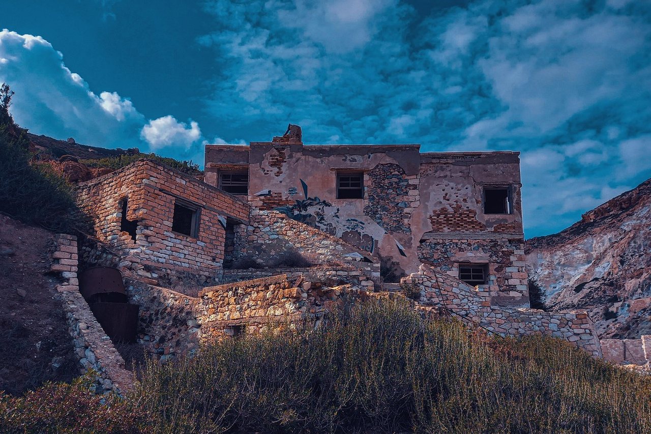
The stone shell of a two-storey building at the abandoned sulphur mines of Paliorema on Milos, on a dry slope
The ruins of the sulphur mines at Paliorema.ZoiDalari

Production stopped abruptly in 1958, which is why so much of the plant is still standing. The tunnel mouths are open: do not go in.

An ordinary hire car should stop on the flat ground above the last bends of the road. From there it is about fifteen minutes on foot down to the buildings, and the climb back in the heat is the hard part. A quad bike or a 4x4 gets further.

Fill the tank and download a map before you set out. Mobile signal is patchy on the far side of the island, and the dirt roads of the empty west need a 4x4 or a strong quad.

Below Plaka, the fishing village of Klima runs along the water as a single row of syrmata, boathouses with painted doors on the ground floor and living quarters above. Fishermen hauled their boats inside for the winter, and several of the houses are now let as rooms, with the sea at the doorstep. No bus goes down: walk from the stop at Trypiti and swim from the rocks.

On the north coast, Mandrakia and Firopotamos have their own boathouses, cut into the soft pale rock. Firopotamos is a sheltered cove with a white chapel on the rocks and clear water for snorkelling. It has no sunbeds and almost no shade, the road down is poor, and the parking above it fills in summer.
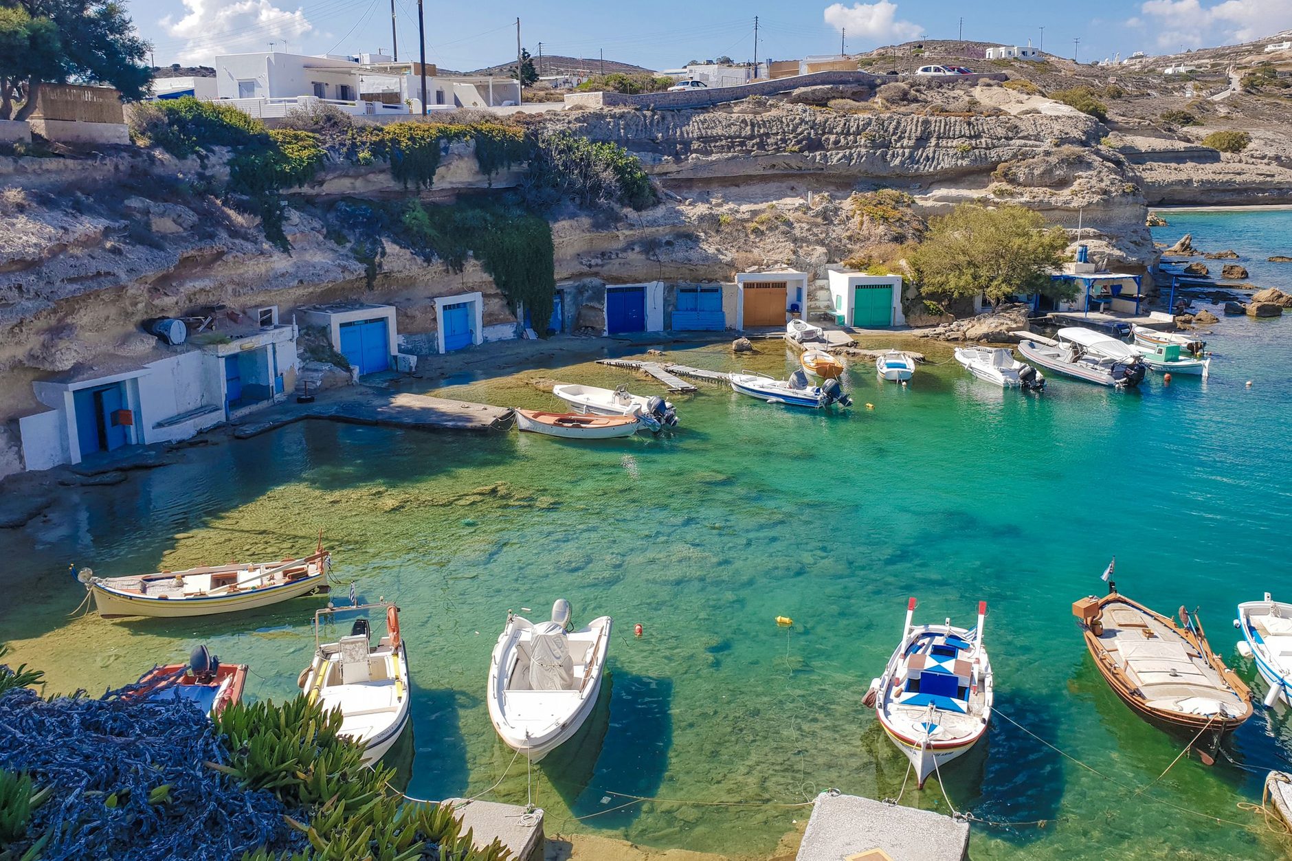
Small wooden fishing boats moored in green water in front of boathouses with coloured doors set into a low rock bank at Mandrakia
Fishing boats and boathouses at Mandrakia, on the north coast.Daciana Cristina Visan

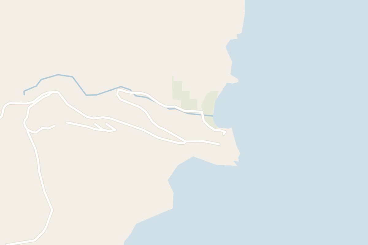
Near Pollonia, Papafragas is a channel of turquoise water between white walls, ending in a tiny beach under an arch. Rough, slippery steps lead down to it, and swimming out to the open sea is only for calm days.


Plaka, the hilltop capital, fills after dark. Cars stay in the car park below the village, which runs tight in August. For the sunset, climb from the top of the village to the ruins of the Venetian castle and the church of Panagia Thalassitra.

Lower down, the terrace of Panagia Korfiatissa looks west over the same sea and is the busier of the two at sunset.
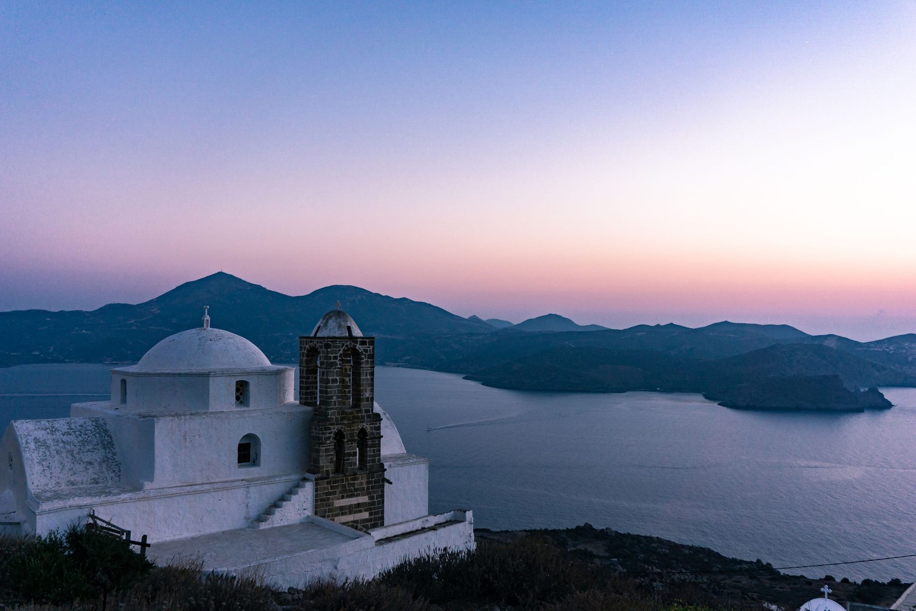
A white church with a dark stone bell tower on the hill at Plaka, above the Bay of Milos at dusk
The church of Panagia Thalassitra above the Bay of Milos at dusk.Luke Webb

The Catacombs, an early Christian burial complex cut into the soft rock below Trypiti, close in mid-afternoon and all day on Tuesdays. The ancient theatre is a short walk away, its marble seats facing the bay.

Adamas is the base without a car: ferries, island buses and most of the boats leave from its waterfront, though it is not the prettiest place on Milos. Plaka and Trypiti suit the evenings and have no beach.

Pollonia, a fishing village on the north-east tip, is the calmest, about twenty minutes by road from Adamas. The little ferry to Kimolos, the island across the channel, leaves from its quay and takes about twenty minutes.

Book the car with the room, because hire cars sell out in high season. June and September bring warm water without the August crowds.

Conventional ferries from Piraeus run all year: the direct boat takes about four and a half hours, the slower ones calling at Kythnos, Serifos and Sifnos up to seven and a half, and in winter they sail a few days a week. Fast boats cut the trip to around three hours and run from spring to autumn, most often in summer. Small planes fly from Athens to the airport, about five kilometres from Adamas.

The Venus de Milo came out of a field near the ancient theatre in 1820 and went to the Louvre. The one on the island is a modern copy, standing in the first room of the Archaeological Museum in Plaka, a few minutes' walk from the car park.
← All dispatches
Places on record

Every place in this dispatch

  1. Beach
    Sarakiniko Beach
    Beach

    Sarakiniko Beach

    You come for the swim between pale walls: a shallow inlet cut into white volcanic stone, with smooth ledges to lie on and higher rocks that some swimmers jump from.

  2. Other
    Kleftiko
    Other

    Kleftiko

    In clear blue water, tall white pillars and arches stand around your anchored boat, and you swim from the deck into the sea caves cut through them.

  3. Museum
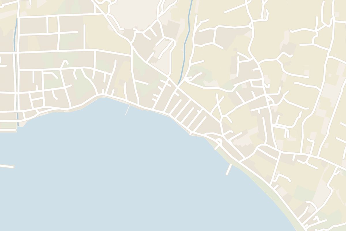
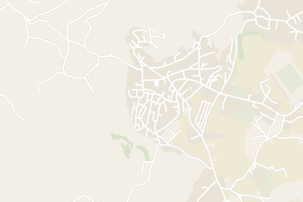
    Map of Milos Mining Museum
    Museum

    Milos Mining Museum

    Set in Adamas, the museum tells how the island's volcanic geology has been quarried since antiquity, from obsidian to the bentonite and perlite still mined today. Rock samples, miners' tools and old photographs fill the rooms. Short films explain how the coloured cliffs seen on boat trips came to be.

  4. Village
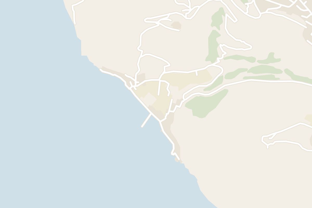
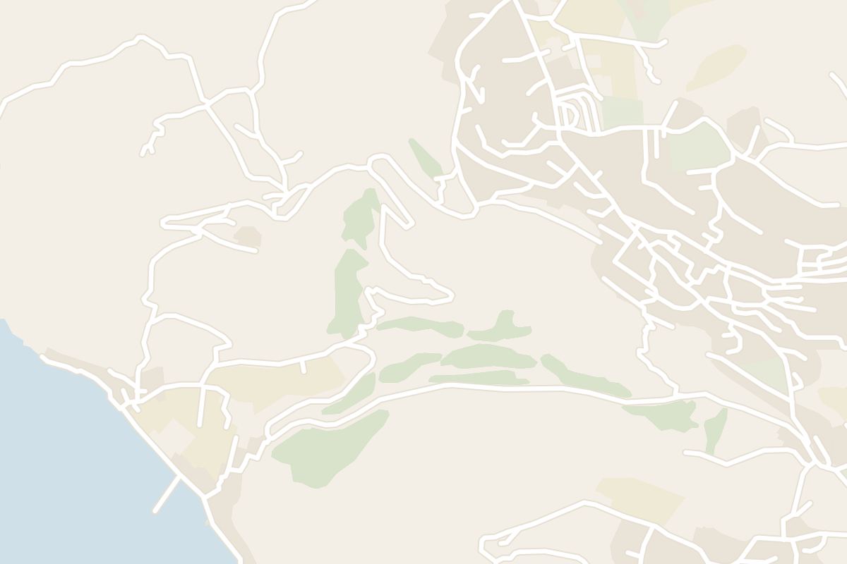
    Map of Klima
    Village

    Klima

    A fishing village built at the water's edge below Plaka, made up of syrmata: boathouses with brightly painted doors on the ground floor and living quarters above. Fishermen once hauled their boats straight inside for the winter. Today several are let as rooms. The lane along the shore is a short walk, and swimming is from the rocks.

  5. Beach
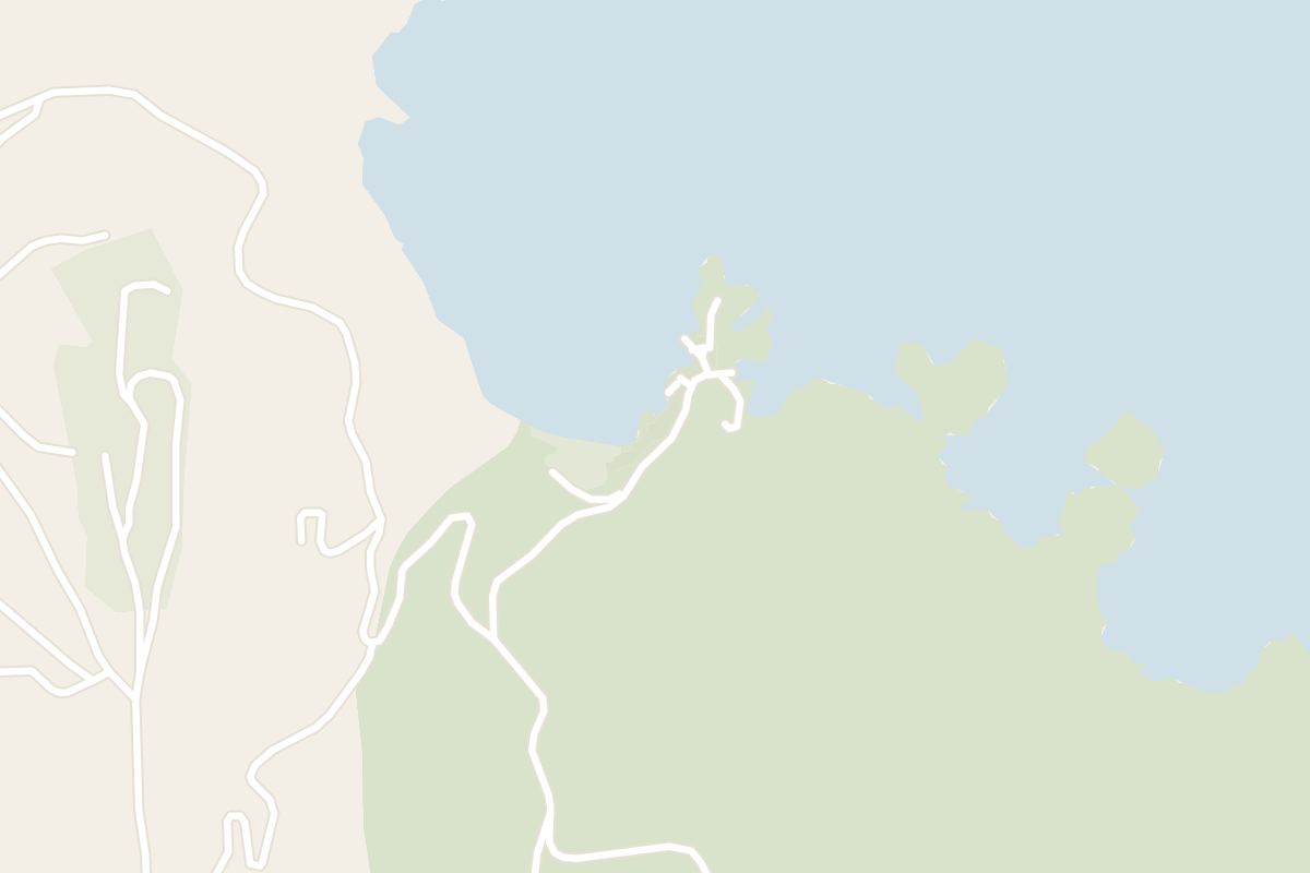
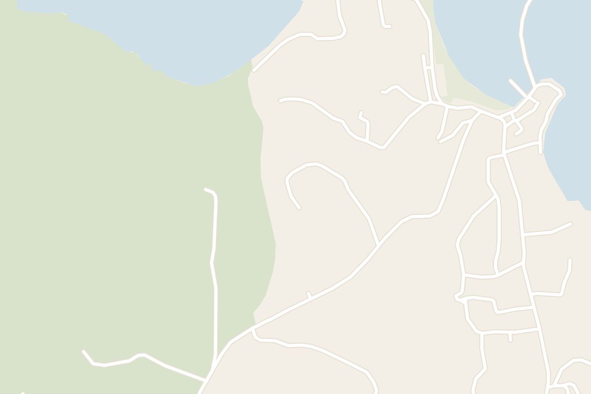
    Map of Firopotamos
    Beach

    Firopotamos

    A sheltered cove north of Plaka with a white chapel on the rocks, a handful of boathouses and calm, clear water over pebbles and sand. Snorkellers explore the rocky edges of the bay. There are no sunbeds and almost no shade, so umbrellas come from home or the hotel. Parking above the beach is limited in summer.

  6. Beach
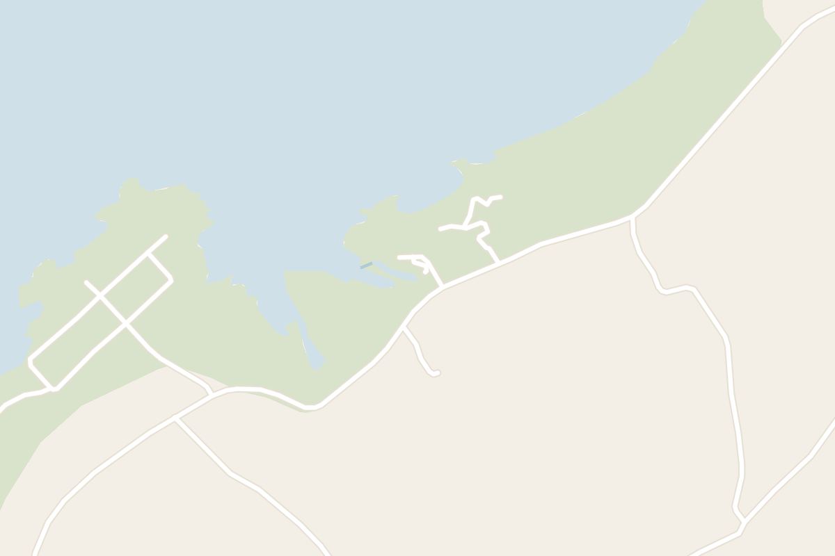
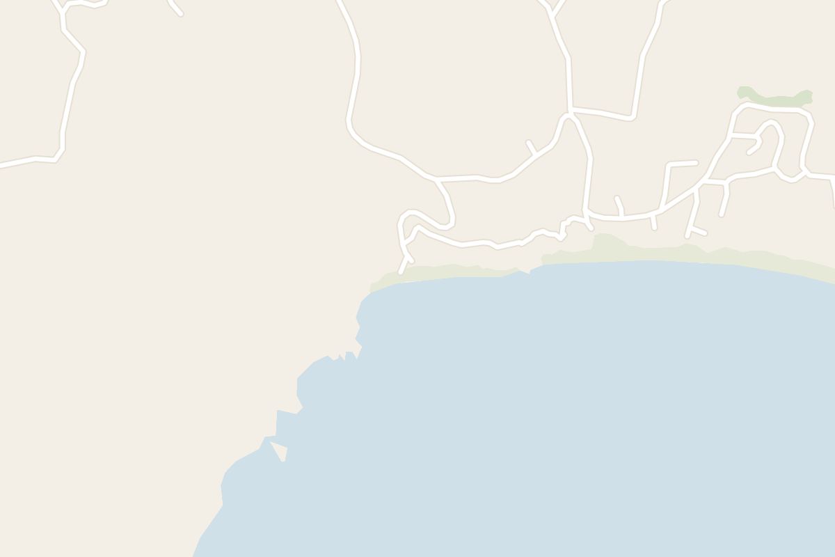
    Map of Papafragas
    Beach

    Papafragas

    A narrow channel of turquoise water running between white rock walls into the cliffs of the north coast, ending in a tiny beach under an arch. Rough steps lead down to it near Pollonia. The rock is slippery and there are no facilities. Swimming through to the open sea is possible only on calm days.

  7. Village
    Map of Plaka
    Village

    Plaka

    The island's hilltop capital, a white village of narrow lanes and small squares on a rock high above the bay. Steps climb from the top of the village to the ruins of a Venetian castle and the church of Panagia Thalassitra, which looks out over the sunset. Cars stay in parking below. The lanes are busiest in the evening.

  8. Archaeological Site
    Map of Catacombs of Milos
    Archaeological Site

    Catacombs of Milos

    An early Christian burial complex cut into the soft rock below the village of Trypiti, with long galleries of arched tomb niches. A flight of steps leads down from the road. The site closes in mid-afternoon and on Tuesdays, so a morning visit is the safer plan.

  9. Village
    Map of Pollonia
    Village

    Pollonia

    Tamarisks shade the shallow beach at Pollonia, a village on the north-east tip of Milos with tavernas along the back of the sand. The small ferry to Kimolos leaves from here and crosses the channel in about twenty minutes. From June to September the meltemi makes the beach choppy in the afternoon.

  10. Beach
    Map of Paleochori
    Beach

    Paleochori

    A long sandy beach on the south coast, reached by asphalt all the way down. There is no natural shade, so bring a hat, sun cream and water for the day. When the summer wind roughens the north coast, this shore stays swimmable.

  11. Beach
    Map of Thiorichia
    Beach

    Thiorichia

    Below the ruins of an abandoned mining village, Thiorichia is a yellow beach on a lonely stretch of coast. The road in is very rough, so it takes an ATV or a four-wheel drive, a boat, or a walk of about two kilometres from where an ordinary car has to stop.

  12. Village
    Map of Trypiti
    Village

    Trypiti

    Trypiti is the smaller village beside Plaka, with sea views from the edge of its cliff. The Catacombs of Milos are cut into the rock below it, and a walk downhill leads on to the ancient theatre above the bay.

Explore

More of Greece

Country

Greece

Every Greece dispatch, city and place, on one map.

Town guide

Milos

Sarakiniko, the Kleftiko boats, Plaka at sunset and the boathouses of Klima.

Dispatch

Santorini

The caldera from the water, Akrotiri under the ash, and the volcano in the bay.

Meridian Dispatch for iPhone

Plan the trip.
Keep the story.

Every other travel app asks you to start logging. Meridian Dispatch opens with years of your travel already written, from the photographs you already took.