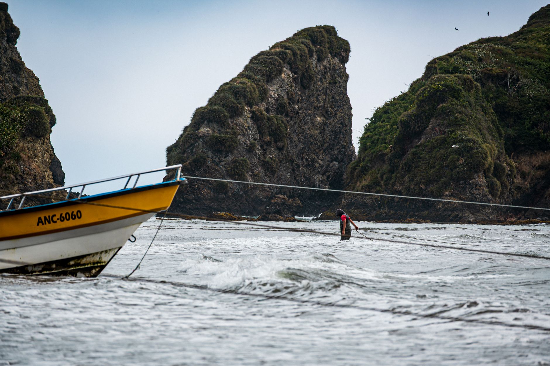
If you came to Chiloé for the wooden churches, sleep in Castro. If you came for the penguins, the Pacific and the forts, book the room in Ancud instead: the boats at Puñihuil are forty-five minutes from its square, and from Castro they are nearer two hours away.
The direct buses from Puerto Montt and Puerto Varas drive straight onto the ferry from Pargua to Chacao, the crossing included in the ticket. Count on up to an hour for it once the wait is included. Until the bridge opens, due in October 2028, the ferry is the only way on.
In summer, buy the bus ticket a day ahead, because the direct departures fill and the next one may be hours later. When you get off in Ancud, eat first: empanadas are sold just outside the terminal.
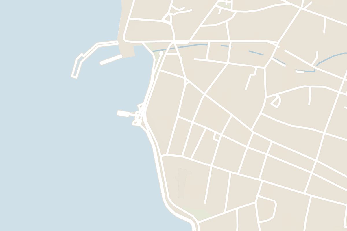
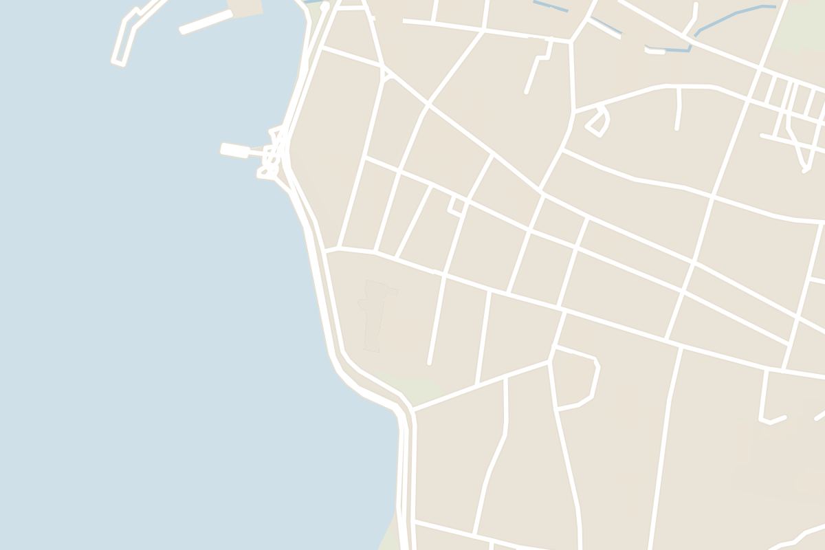
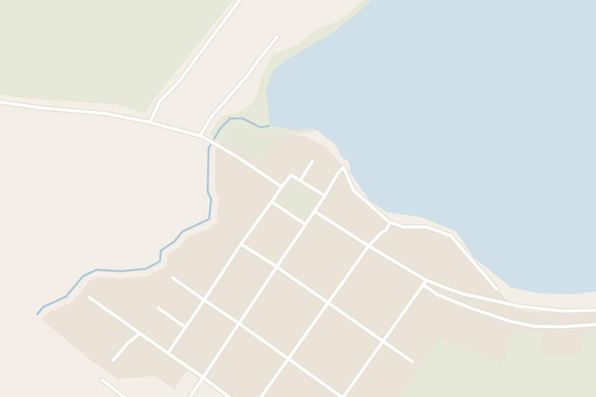
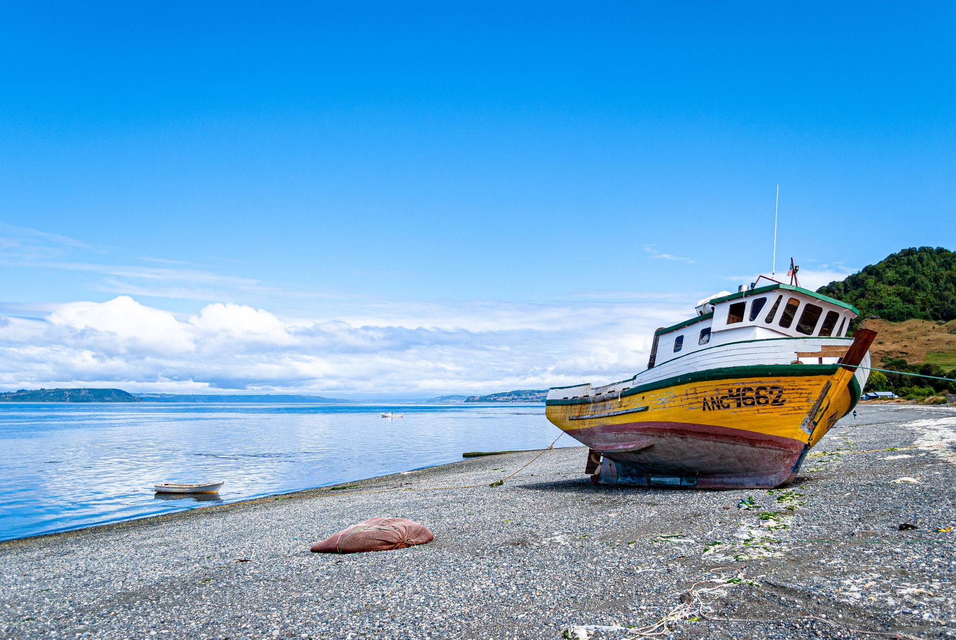
The town is a working port of shingled wood and corrugated iron on a steep grid above the harbour. Walk the waterfront in the late afternoon, when the small boats come back in, then climb to the square, where carved figures from the island's mythology stand among the benches.
Above the harbour, Fuerte San Antonio was Spain's last stronghold in Chile, held until January 1826, eight years after the mainland had gone. Seven cannon still point over the water from the grass rampart.
It is a short walk up from the market and open without a ticket, and the view west across the bay at sunset is the best in town. Out of season the site is deserted by early evening, so go before the light goes.
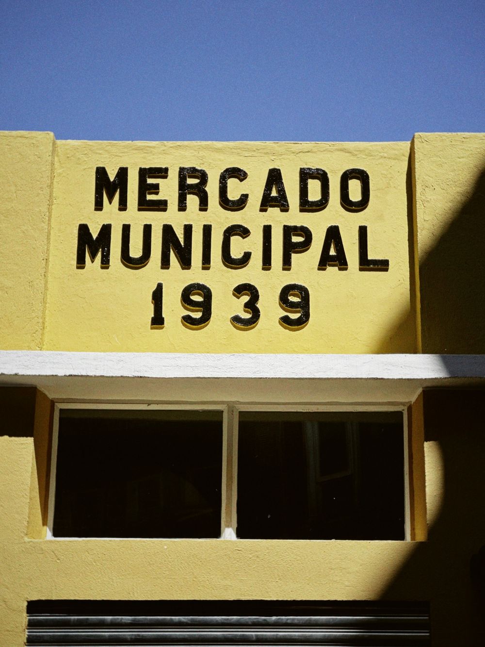
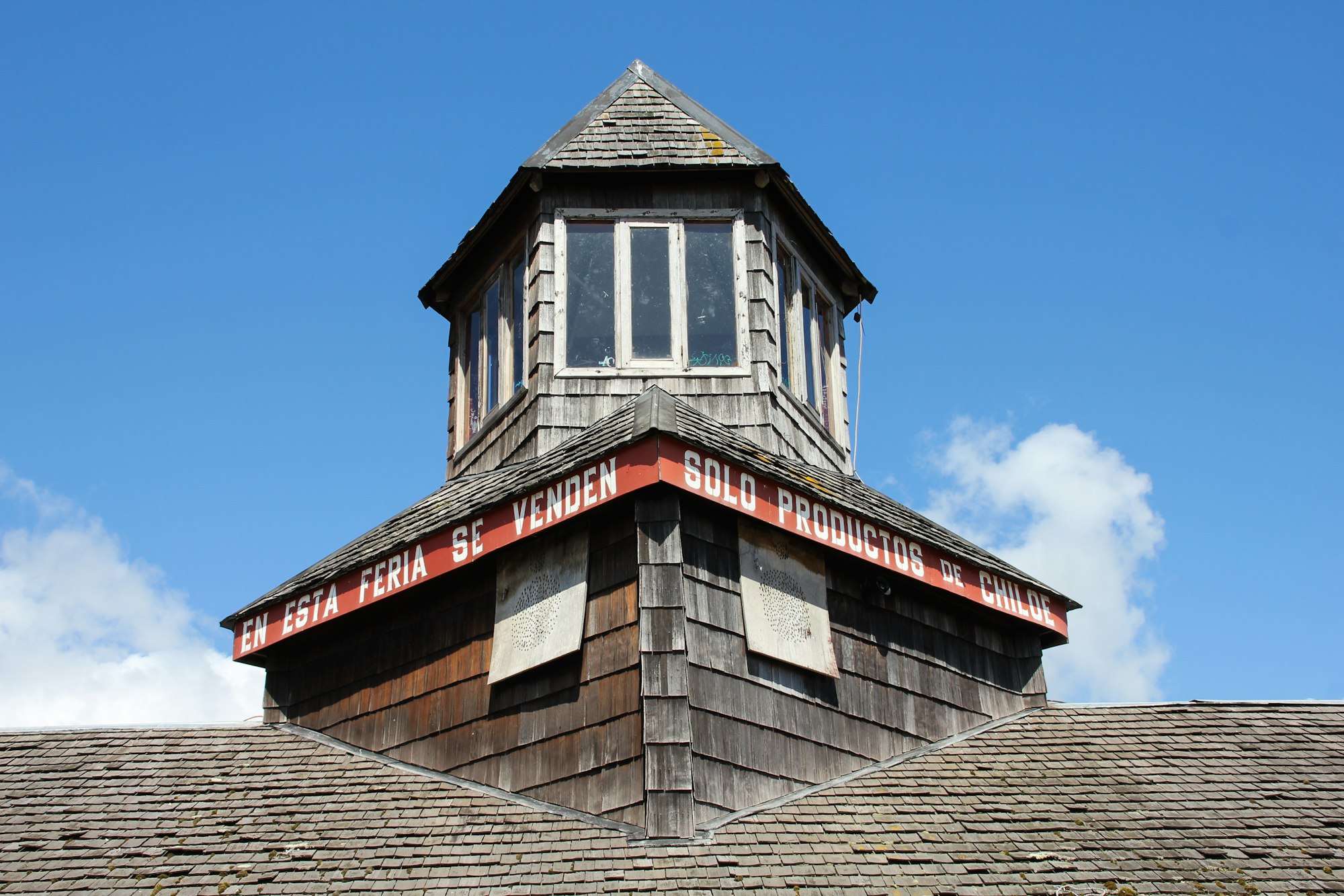
Go to the Feria Municipal on Pedro Montt in the morning for the food: native potatoes, cheese, fruit and shellfish on the ground floor, crafts on the floor above. The Mercado Municipal de Ancud a few blocks away is where the Chilote knitwear is. At midday the restaurants near the port serve curanto, the island's dish of shellfish, meat, potatoes and milcao dumplings steamed together under a lid of leaves.
What most restaurants serve is curanto en olla, cooked in a pot. The original is curanto al hoyo, laid over stones heated in a fire pit and covered with nalca leaves and earth, and it takes most of a day. If a restaurant or a family offers it in the ground, ask to see the pit, because restaurants use the word for both.
Chiloé rains in every month, so keep the Museo Regional beside the square for a wet morning. It covers the island's myths, its native peoples and its way of building, and its courtyard holds a full-size replica schooner and the skeleton of a blue whale that stranded at Pumillahue in 2005.
A block away, a foundation for the island's churches keeps its visitor centre in a former convent school. It holds scale models of the UNESCO-listed churches, carved pieces from their interiors and the joinery that holds them up without a nail showing. Go before you drive south to see the real ones. Entry is by donation.
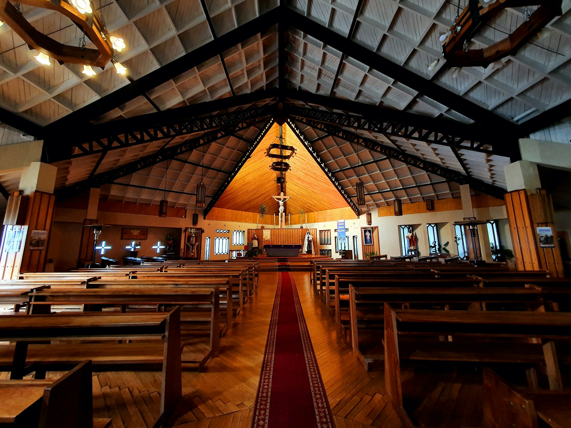
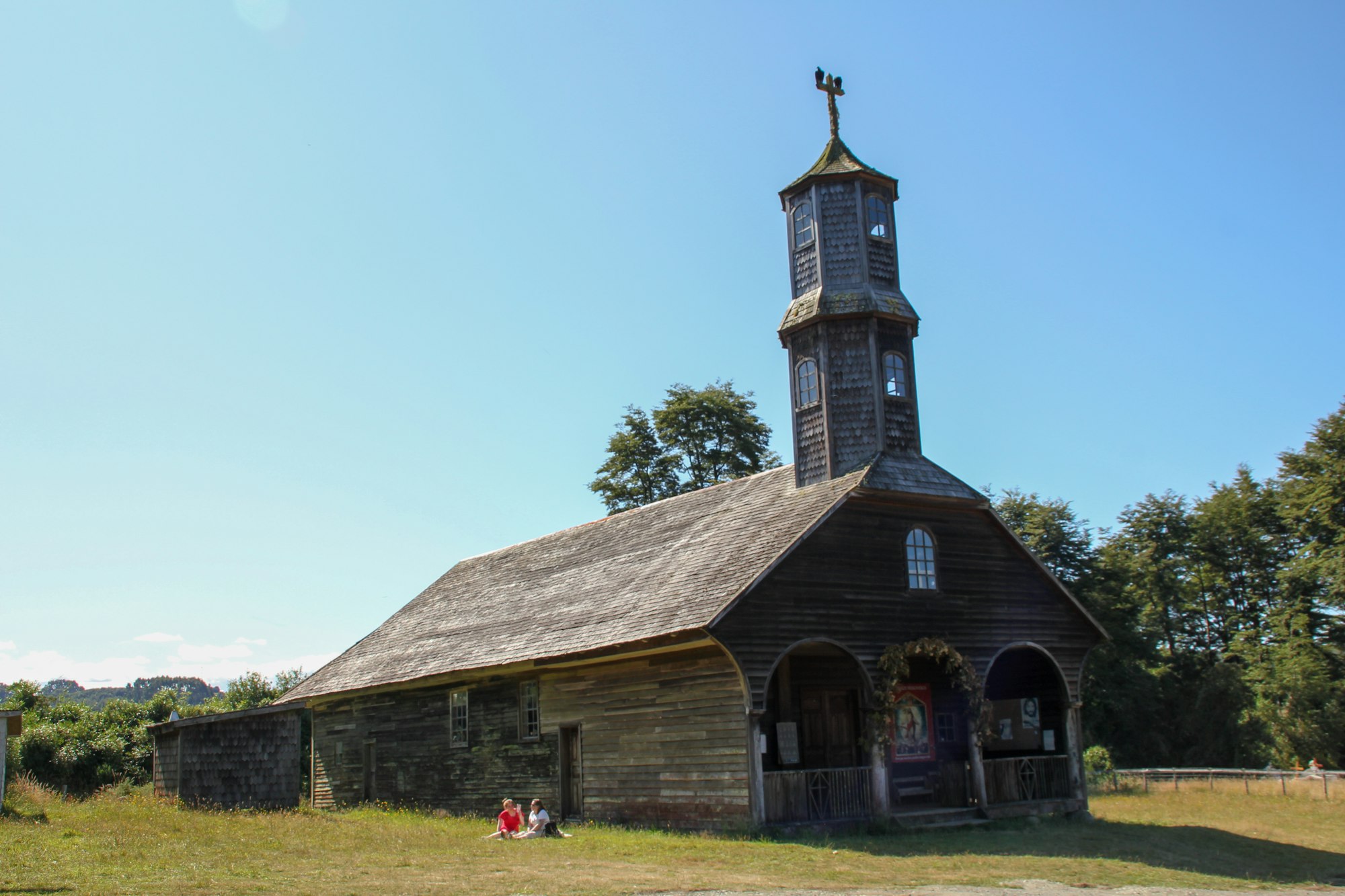
The cathedral on the square is new, finished in 2014 after the 1960 earthquake, the largest ever recorded, wrecked the stone one before it. Step in for a few minutes for the timber interior.
Across the bay, the Lacuy peninsula is a morning by car or a long day by bicycle. The road runs out past Quetalmahue, where mussel lines and drying seaweed fill the shallows, to the Castillo San Miguel de Agüi, now Fuerte Ahui: stone walls and gun platforms on a point above a small beach, with a path into native forest behind.
The last few kilometres to the fort and on to Punta Corona are gravel. The navy still keeps the lighthouse at the tip, with a small museum; opening days vary, so ask in town before you drive out for the tower rather than for the view. Watch the water off the point, where Chilean dolphins are often seen.
Without a car, a rural bus from the town's rural terminal runs out to the fort around midday and back in the middle of the afternoon, which leaves a few hours on the point. Check both times the day before.
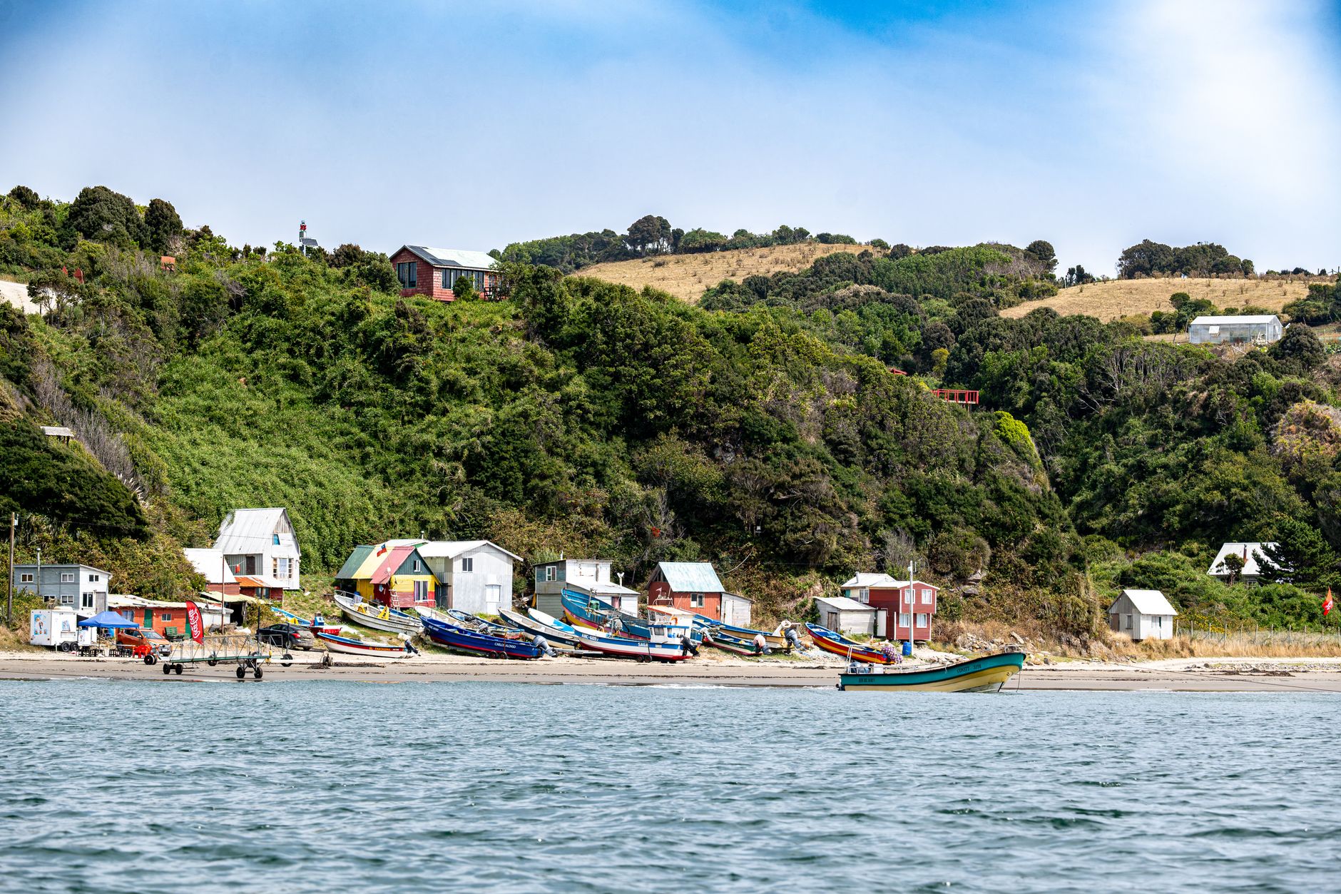
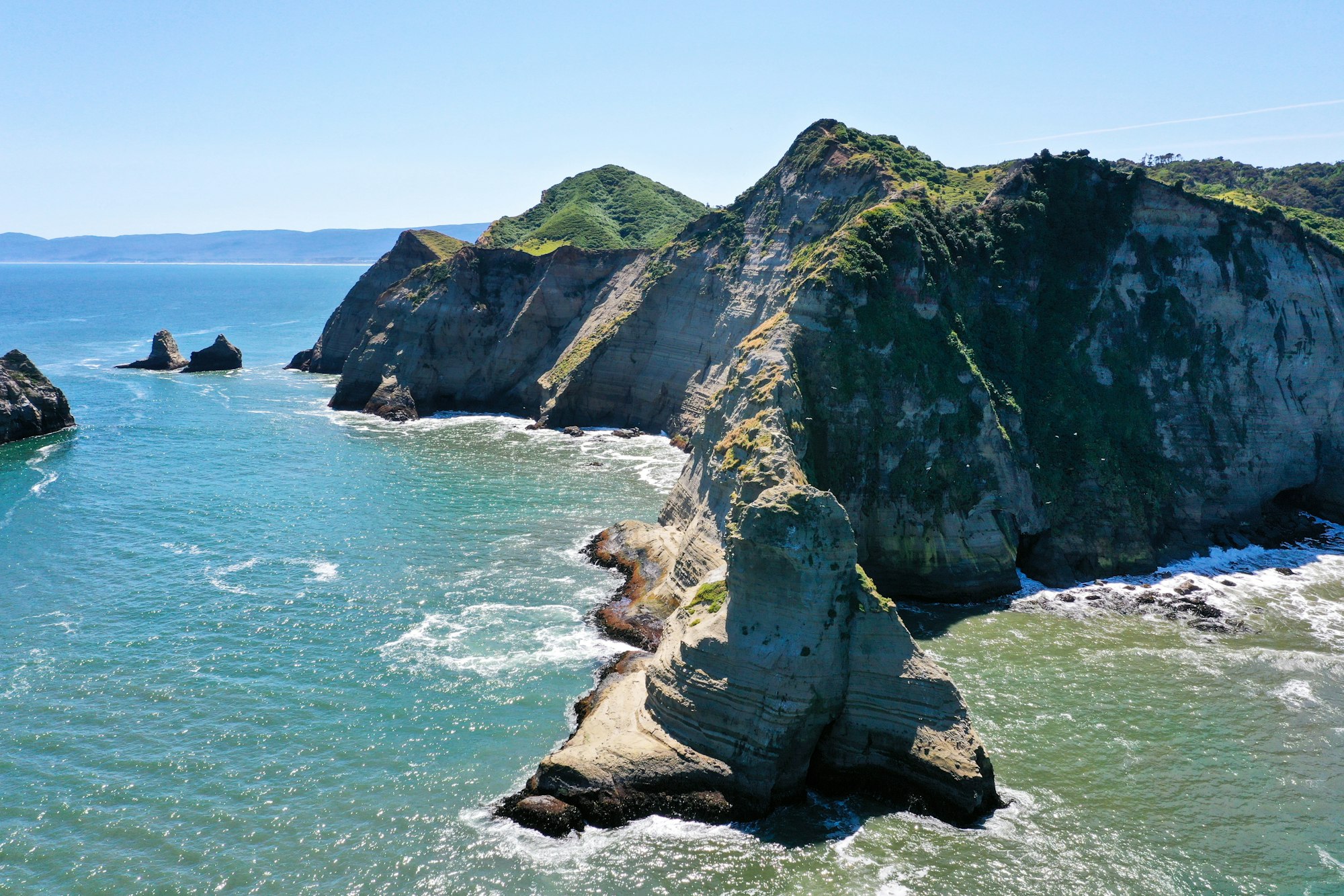
The penguins are 27 km southwest of town on the Pacific side, down a side road off the Pumillahue road to the beach at Puñihuil. Three protected islets off the cove are where Humboldt and Magellanic penguins breed side by side. It is one of very few colonies the two species share. Isla Metalqui, 35 km south, is another, but Puñihuil is the largest known.
The boats belong to fishing families from the cove and run from September to March when the swell allows, for about half an hour, and landing is not allowed. You board from a wheeled cart that is pushed out through the surf to the boat, so your feet stay dry and the rest of you may not; bring a rain layer.
There is a seafood restaurant on the beach, so take a late-morning boat and keep an hour for lunch after it.
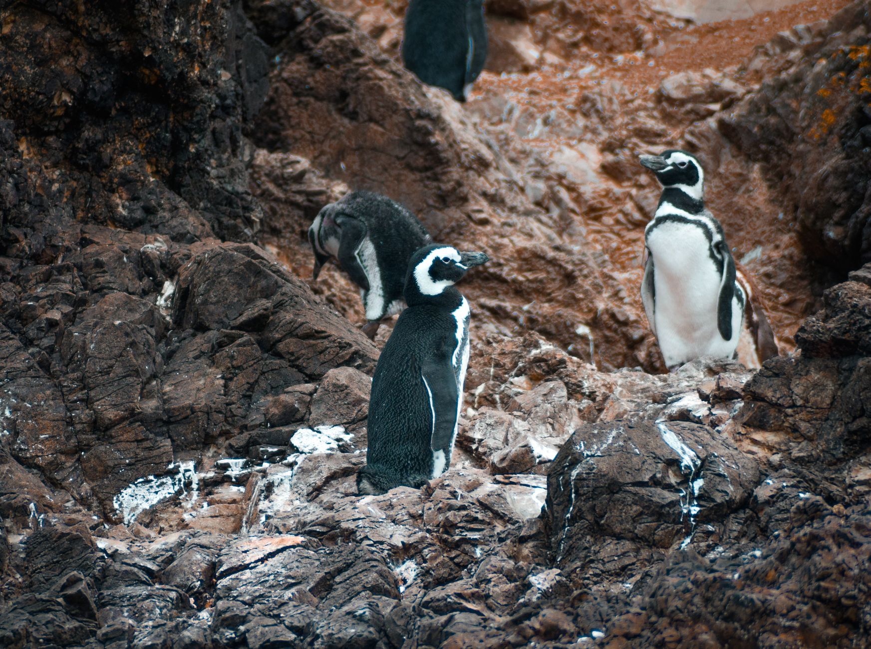
To tell them apart, count the black bands across the chest: one for a Humboldt, two for a Magellanic. The first wild hybrid of the two ever documented was found in this colony. Marine otters, the small chungungo, work the same rocks, and sea lions and several species of cormorant are usual. The operators' English sometimes says sea otters; there are none in Chile.
Come between December and February. In September the breeding birds are still arriving, and by late March they are leaving, and at either end of the season the colony is visibly thin. Humboldt numbers have fallen across Chile and Peru since avian flu and a run of El Niño years, which is one more reason to come at the peak. Do not count on the rural bus either: it runs mainly in high season and its timetable changes. Hire a car or book a tour, and stop on the way at the long surf beach of Mar Brava and the rock of Piedra Run at its southern end.
East of town, on the channel, the tidal flats at Caulín are a shorebird wetland of hemispheric importance, where black-necked swans feed in the shallows, and the oyster beds along the same shore supply the lunch counters that face them. A stretch of the beach road there goes under the sea at high tide. Read a tide table before you drive it.
Two nights covers it: the town and Lacuy on the first day, Puñihuil and the coast on the second. A third buys Caulín at low tide and a slower morning before the drive south to Castro and the churches.