Few roadside stops in Iceland show columnar rock this regular: a hillside of pillars in ranks as even as laid stone, just off Route 54 on the way onto Snæfellsnes.
Viewpoint, Borgarnes. Meridian Dispatch.
Gerðuberg is in West Iceland, about 50 kilometres by road from Borgarnes up Route 54 and about 115 kilometres from Reykjavík. The wall stands on the south side of the Snæfellsnes peninsula, beside the main road.
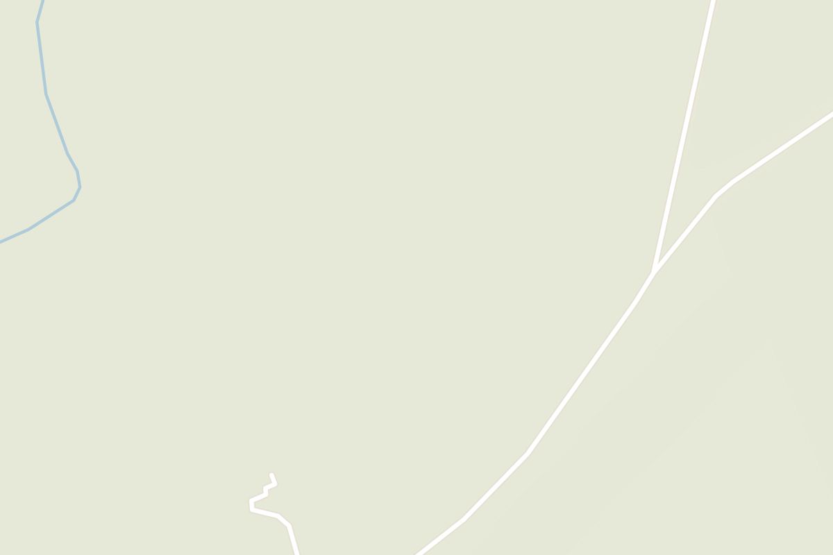
Yes, the last stretch is gravel. Driving from Borgarnes, look for a sign for Gerðuberg on the left of Route 54; the gravel track turns off to the right. It runs about one kilometre to the cliffs, a drive of a couple of minutes.
Heights vary along the wall, from about 7 metres up to 14 or 15 metres for the tallest columns. The rock is dolerite, a coarse-grained form of basalt.
There is no formal car park. Cars pull off onto the side of the gravel track opposite the cliffs, and an old trail leads from the track to the foot of the wall.
Along the base, yes, on the trail at the foot of the cliffs. Follow the signs and stay on the existing trail rather than climbing the slopes above.
Access is a gravel track off Route 54, and no winter clearing of it is published. Conditions change quickly, so the drive is worth checking on road.is for the roads and safetravel.is for alerts before setting out.
Gerðuberg is a band of basalt columns on the western edge of the Hnappadalur valley, on the south side of Snæfellsnes. The columns are packed tightly side by side, and they line up so evenly that from a distance the cliff looks like a rampart built by hand. The name is said to mean fortified wall.
Look closely and many of the shafts are roughly six-sided. They formed when a thick lava flow cooled: the rock shrank as it lost heat and cracked into upright pillars. Because these are unusually tall and uniform, Gerðuberg is one of the best examples of the pattern in Iceland.
The whole strip, from Gerðuberg farm to Ytri-Rauðamelur and down to the main road, is on Iceland's natural heritage register.
Ninety minutes to two hours from Reykjavík, Gerðuberg makes a natural break on the drive out to Snæfellsnes. Take Route 1 north to Borgarnes, then Route 54 towards the peninsula to the signed turning.
Leave the car at the roadside below the wall. An old trail leads to the wall and then along its foot, the best way to see it, right under the pillars. When you have seen enough, return to the car and carry on along Route 54.
Rauðamelskirkja, a small iron-clad timber church from 1886 and now protected, stands on the same access road, so you can add it to this stop. Treat it as a building to look at from outside unless a sign says otherwise, and respect the property and access signs on the farmland around it.
If you are not driving yourself, read a Snæfellsnes day tour's itinerary when booking, because some stop here and others do not.
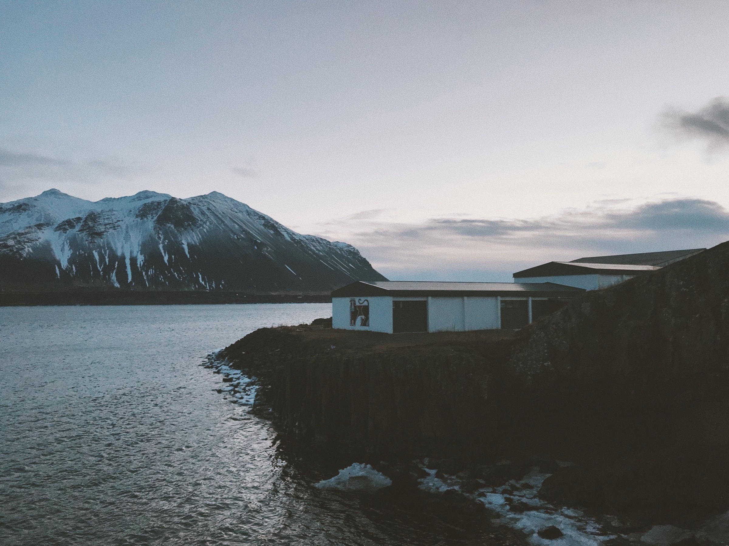
Borgarnes, Iceland: the first real town on the drive west, a little over an hour north of Reykjavík, set on a low spit in Borgarfjörður. Bifröst.
Read the Borgarnes guideExplore the rest of Borgarnes
The first real town on the drive west, a little over an hour north of Reykjavík, set on a low spit in Borgarfjörður. Route 1 crosses the…
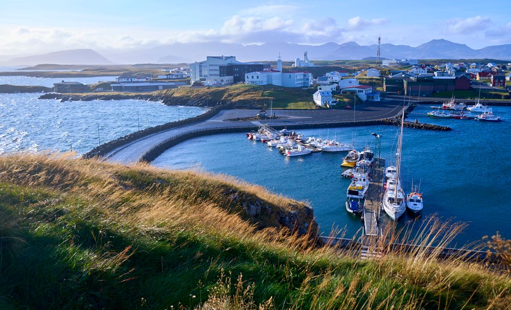
A harbour town on the north side of Snæfellsnes, living on fishing and visitors. The old quarter above the pier is a grid of painted timber…
A hotel of 21 rooms in the 1930s convent built by the town's Franciscan sisters, on Austurgata a short walk from the harbour. The chapel…
A timber house of 1867 by the harbour, run as a small hotel of ten rooms. Stay here to sleep in the oldest part of town, a short walk from…
A house built in 1832 from timber shipped in from Norway, now the regional museum of Snæfellsnes. The upper floors are furnished as the…
Roni Horn's installation in the old library building on the bluff, where twenty four glass columns hold meltwater collected from glaciers…
A basalt island closing the north side of the harbour, joined to the town by a stone causeway and climbed by a stairway up the cliff. From…
A scoria crater rising to about 170 metres beside Hreðavatn, the largest of three on a short fissure that erupted roughly 3,400 years ago.…




Save Gerðuberg to your Iceland trip in the Meridian Dispatch app and build the day around it, with the best of Borgarnes pinned on one map.
Download on the App StoreLast updated