
Stop at Grábrók on the drive north on Route 1: a short climb from the roadside puts you on the rim of a volcano, with the lava it poured out spread all around you.
Viewpoint, Borgarnes. Meridian Dispatch.
The climb to the rim and back takes 30 to 45 minutes, and longer with a walk around the crater or a look at Grábrókarfell.
Mostly. The marked trail from the car park switches between stretches of path and runs of stairs, so the footing changes on the short uphill walk to the rim.
Grábrók stands right beside Route 1, the Ring Road, in the north of the Borgarfjörður area of West Iceland. The drive from Reykjavík takes about an hour and a half.
Yes. A small car park sits right off the Ring Road below the crater, with an information board beside it, and the marked trail to the rim leaves from there.
Grábrók last erupted about 3,400 years ago. The same fissure eruption built its two neighbouring craters and laid down the Grábrókarhraun lava field around all three.
Yes. The Nature Conservation Agency of Iceland keeps the Grábrók area open all year, but heavy snow can make access difficult. When snow lies deep, the walkways to the rim may be hard going or out of reach.
Grábrók is a volcanic cone over 170 metres high, standing right beside the main road north through West Iceland. It is the largest of three craters that opened along one short fissure.
The ground all around its base is Grábrókarhraun, a field of rough, jagged lava now overgrown with moss and heather. It spreads widely across this part of Borgarfjörður, and the village of Bifröst sits inside it.
The eruption that built the cone sent its lava down the valley and blocked it, which is why Lake Hreðavatn lies where it does. From the rim you can see where the lava flowed and the lake it held back in the valley.
Park in the small car park at the foot of the crater, just off Route 1 about 34 km north of Borgarnes. An information board stands beside the start of the path, and a marked trail climbs from there onto wooden walkways that run all the way to the top.
On the summit, a path runs around the crater. With more time, a second path circles Grábrókarfell, the smaller crater beside it, so you can see the pair from the ground as well.
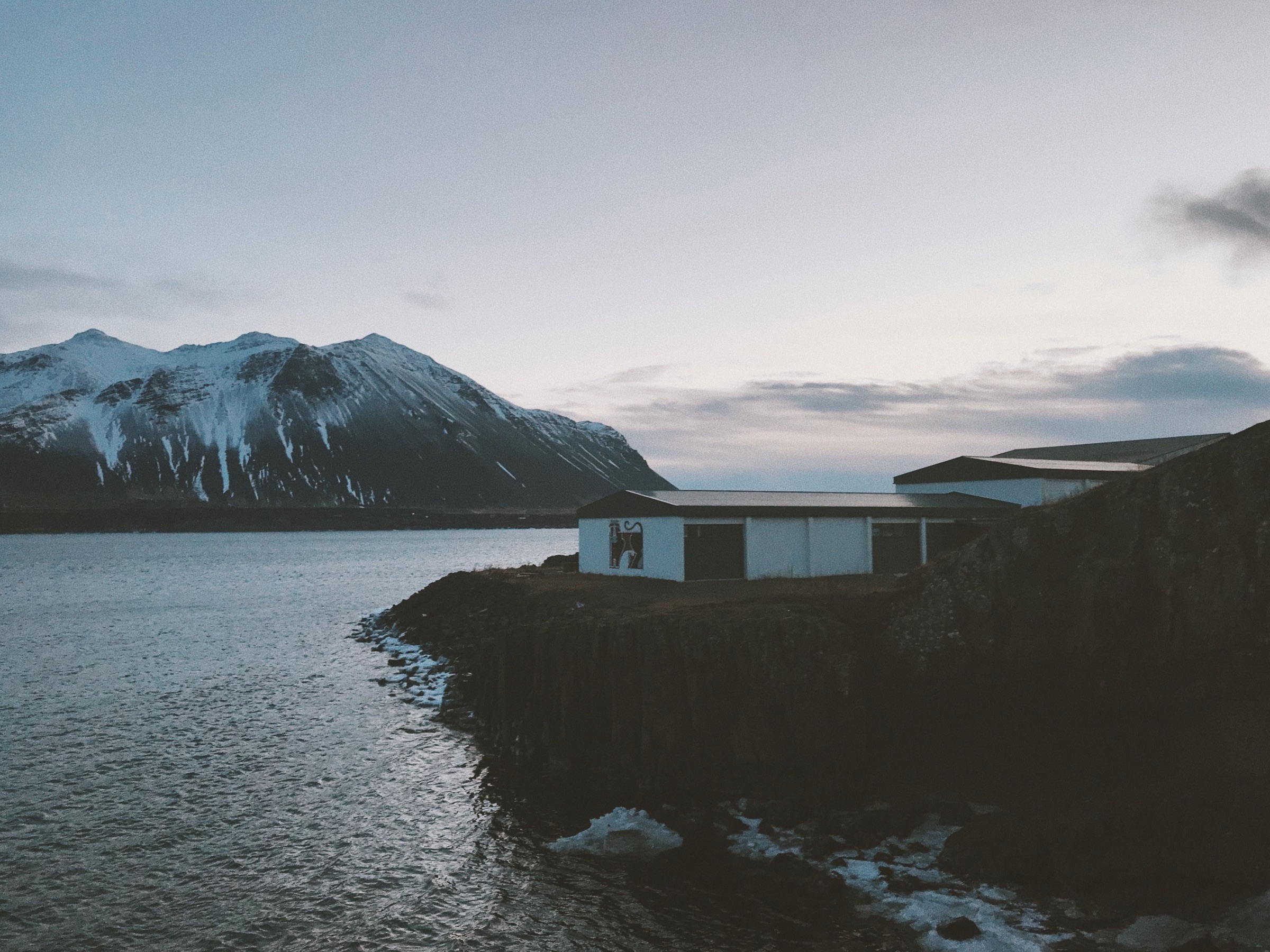
Sleep in Borgarnes, an hour north of Reykjavík, and you start Snæfellsnes, the north or the Reykholt valley next morning from the junction outside town. Spend the evening at the two saga exhibitions and in the town pool.
Read the Borgarnes guideExplore the rest of Borgarnes
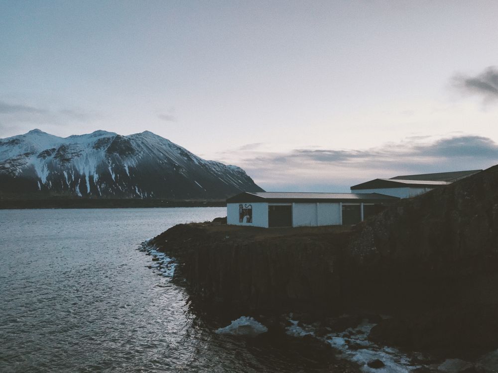
The first real town on the drive west, a little over an hour north of Reykjavík, set on a low spit in Borgarfjörður. Route 1 crosses the…
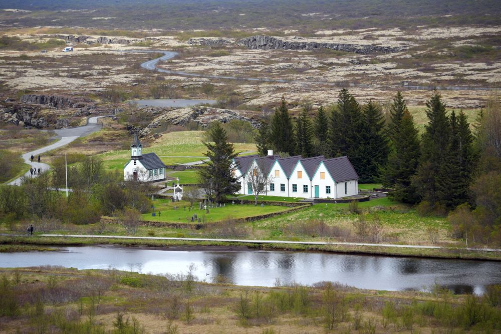

The site of the Alþingi, Iceland's assembly, from 930 until the last session held here in 1798, and a national park since 1930. It lies in…
Snorri Sturluson lived and wrote at this farm and church settlement in Reykholtsdalur, about forty kilometres inland from Borgarnes, and…
A single-storey hotel on its own golf course a few minutes' drive north of town, with outdoor hot tubs and wide views over the moors. Away…
Two audio-guided exhibitions in restored warehouses by the old harbour, one on the settlement of Iceland and one on Egil's Saga, which…
A wall of dolerite columns on the western edge of Hnappadalur, formed when basaltic lava cooled and cracked into shafts between one and one…
A hotel of 21 rooms in the 1930s convent built by the town's Franciscan sisters, on Austurgata a short walk from the harbour. The chapel…
A timber house of 1867 by the harbour, run as a small hotel of ten rooms. Stay here to sleep in the oldest part of town, a short walk from…




Save Grábrók to your Iceland trip in the Meridian Dispatch app and build the day around it, with the best of Borgarnes pinned on one map.
Download on the App StoreLast updated