Ninety seconds on Dettifoss
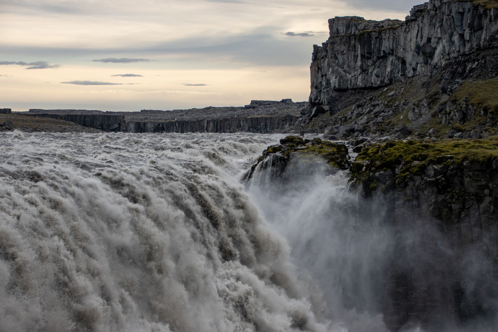
Worth every minute of the detour off the Ring Road: you see Europe's most powerful waterfall first as a cloud of spray over the canyon, then as a whole grey river dropping into the gorge.
Dettifoss carries the whole Jökulsá á Fjöllum, a grey river thick with glacial silt, over a lip about 100 metres wide and 44 metres high. Before the water comes into view you see its spray, a cloud standing over the canyon from a long way off.
It is one of four falls on the same stretch of river. Selfoss, lower and wider at 10 metres, sits just upstream, and Hafragilsfoss drops 27 metres a short drive downstream.
Glacial floods are believed to have carved the canyon you are looking into, and the falls are still cutting it. On the east bank near Hafragilsfoss, the cliff wall shows a volcanic fissure in cross section, the feeder dike of Randarhólar.
Choosing a bank comes first, because the two car parks are over an hour apart by road and each has its own marked path. The west car park is the large one, with toilets, and from it a mostly downhill path leads to the Dettifoss viewpoint.
From that viewpoint, follow the riverbank south to Selfoss, then return to the car park on the signed path inland. That half is uphill, so leave something in reserve.
On the east bank, a steep, rocky path with stairs drops from the car park to the falls. The east view is the better one for seeing both falls. Afterwards, drive a few minutes north to the Hafragilsfoss lookout, which sees far fewer visitors.
Coming from the north on the paved west road, stop at the rest areas along Dettifossvegur, which carry information boards on the canyon.
If you would rather walk to the falls than drive, a 32 km trail runs through the canyon from Ásbyrgi. Plan two days for it: there are no huts, and camping is allowed only at the park campsites at Vesturdalur and Dettifoss.
Explore the rest of Húsavík
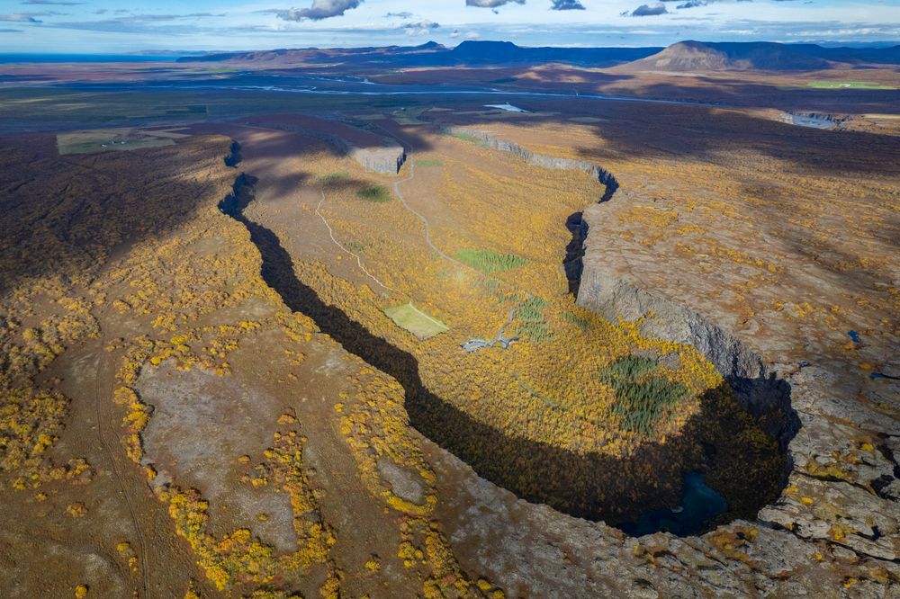
A horseshoe canyon about 3.5 km long and over 1 km wide, walled to 100 metres, cut by catastrophic glacial floods from Jökulsá á Fjöllum.…
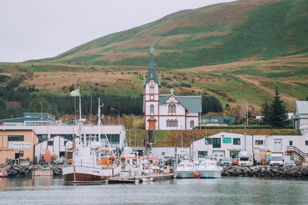
A fishing town of about 2,400 on the east shore of Skjálfandi bay, about 58 km short of the Arctic Circle. Whale-watching boats leave the…
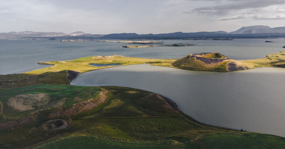
Staying by the lake means reaching the volcanic sights before the tour buses: a crater rim, steaming mud pots, lava pillars and a cave pool…