 Submit a photo
Ninety seconds on Fjaðrárgljúfur
The out and back walk along the rim covers about 2.1 km. With the viewpoints and slower photo stops, a visit takes up to an hour and a half.
There is no entry fee. The landowner charges service fees in the area, collected as a parking charge paid through the Parka app or online, and payment can be made up to 24 hours after the visit.
Fjaðrárgljúfur lies about 10 km from Kirkjubæjarklaustur, a drive of around 12 minutes. From the Ring Road, Route 206 runs 3.2 km to the canyon; keep left at the fork, as the right branch becomes F206 to the Laki craters, suitable only for F-road approved 4x4 vehicles. No bus stops at the canyon.
The main car park is south of the canyon mouth on Holtsvegur, road 206. A second car park on Lakavegur can be used while that road is open. Parking is limited for the number of visitors who come each day.
No. There are no marked walking trails inside the canyon, and the nature authority does not provide a general visitor route through it. The marked path along the rim is the way to see it.
Follow the rim path to its last platform, where the canyon curves into the distance and Mogarfoss, a small waterfall, streams down the cliff wall.
Fjaðrárgljúfur is about 1.5 km long and up to 100 metres deep. The name means feather river canyon, after the Fjaðrá, which flows through it. Its steep walls are mostly palagonite, a soft volcanic rock.
Gravel terraces above the gorge show that a lake once formed here, in front of a retreating glacier, held back by a barrier at the top of today's canyon. The canyon is a clear example of landforming that began at the end of the last ice age, about 10,000 years ago, and is still going on.
Waterfalls drop at the inner end of the canyon. The Fjaðrá is far weaker than the glacial rivers that ran here as the ice age ended, but it is still shaping the gorge.
Since 2024 the eastern part of the canyon, and a stretch of ground above it on that side, has been protected as a natural monument.
Plan the walk as an out and back along the rim. The marked path climbs from the main car park at the canyon mouth, with viewing platforms on the way, up to a second car park near the north end on the east side.
Choose your turnaround before you start. In wind or on wet ground, a shorter walk to a nearer viewpoint suits a slower group better than trying to cover every platform.
When you have seen enough, walk back down the same path to your car.
Bring water and snacks, since there are no cafes or shops at the canyon. The main car park has a rest stop and toilets, but the toilets are often closed, and the nearest services are in Kirkjubæjarklaustur.
If you photograph, pack a wide or ultrawide lens to fit the whole canyon in the frame.
As an out and back from Reykjavík, the canyon is a long drive for one short walk, so fit it into a longer route.
Explore the rest of Kirkjubæjarklaustur
The last fuel, food and bed on the Ring Road between Vík and Skaftafell, a small village under the Síða cliffs built around a filling…
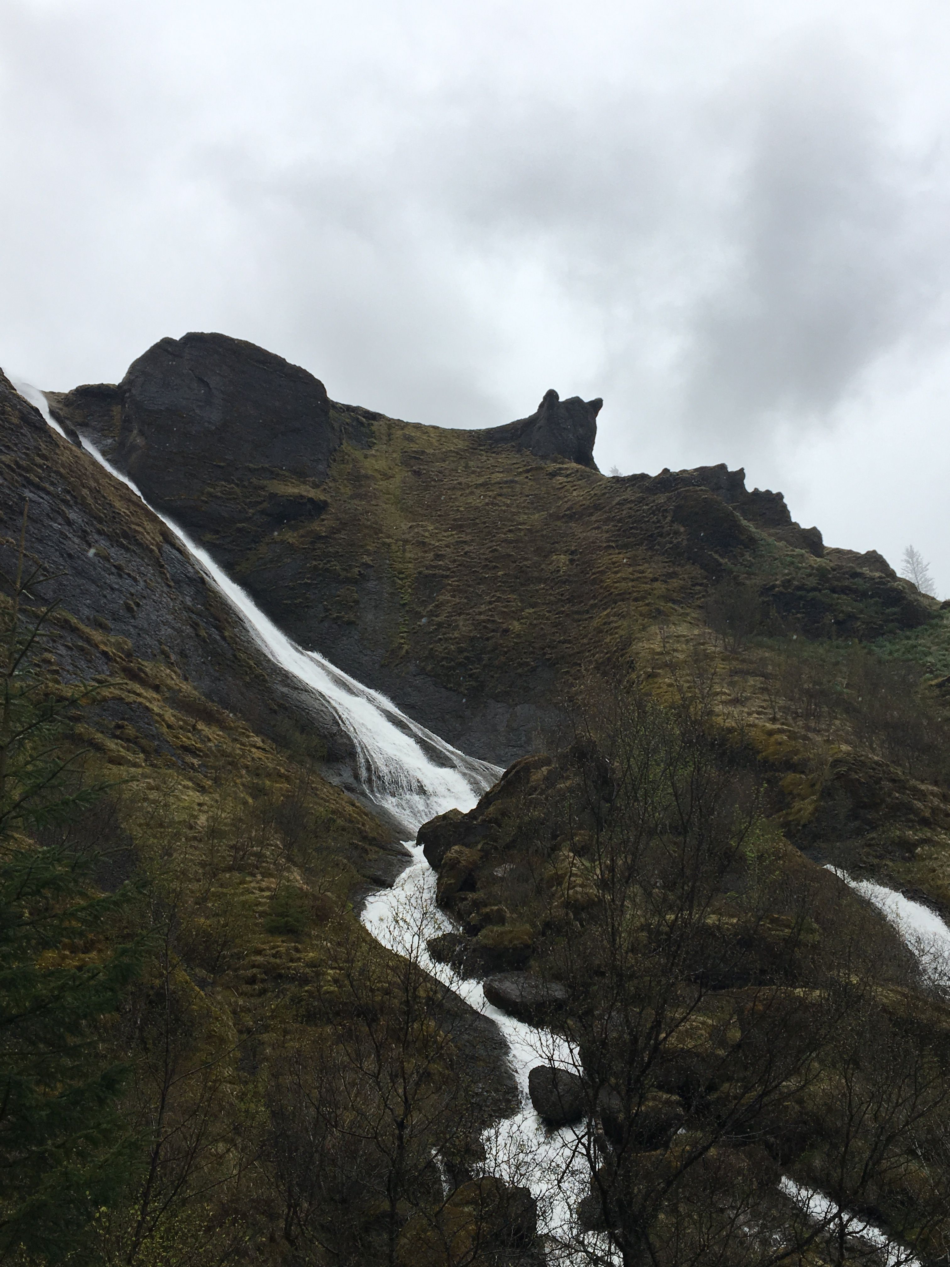
The Stjórn drops in two strands from the Síða cliff directly behind the village, beside the church and one of the few native birch woods…
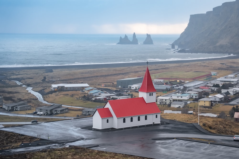
The southernmost village in Iceland, on the Ring Road about 185 kilometres southeast of Reykjavík, between the sea and the slopes under the…
Last updated