Things to do
10-
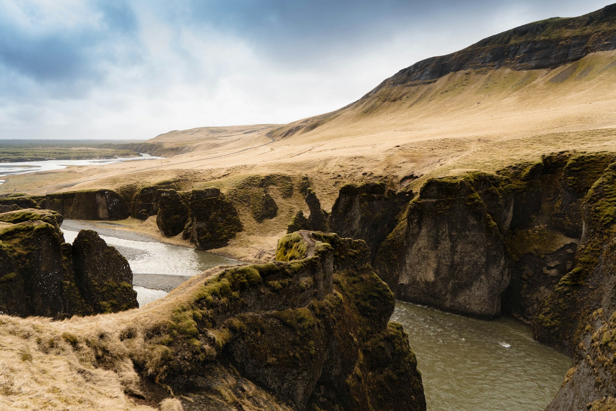
Fjaðrárgljúfur
A gorge about two kilometres long and a hundred metres deep, cut into palagonite by the Fjaðrá as the last glaciers withdrew. A marked path runs along the rim to platforms above the meanders; the floor itself is closed to walkers. The rim path shuts during the spring thaw, so it is worth checking before driving the gravel spur off Route 1.
-
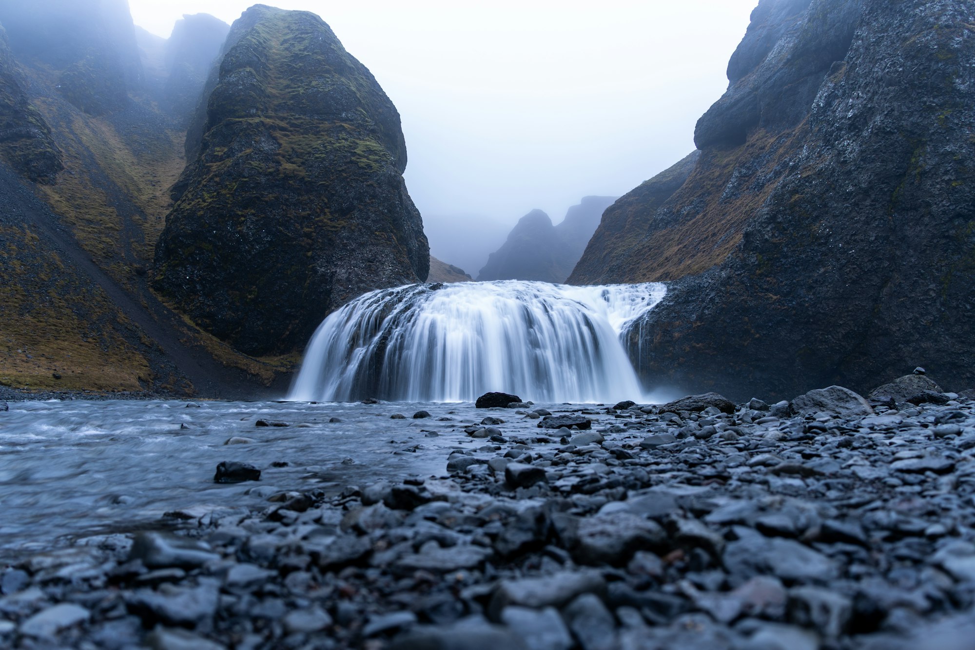
Foss á Síðu
A single fall dropping from the Síða cliff behind the farm it is named for, east of the village on Route 1, fed by the tarn Þórutjörn on the heath above. In a hard easterly the wind blows the water back up the rock face. There is no path in, so it is a roadside stop of a few minutes.
-
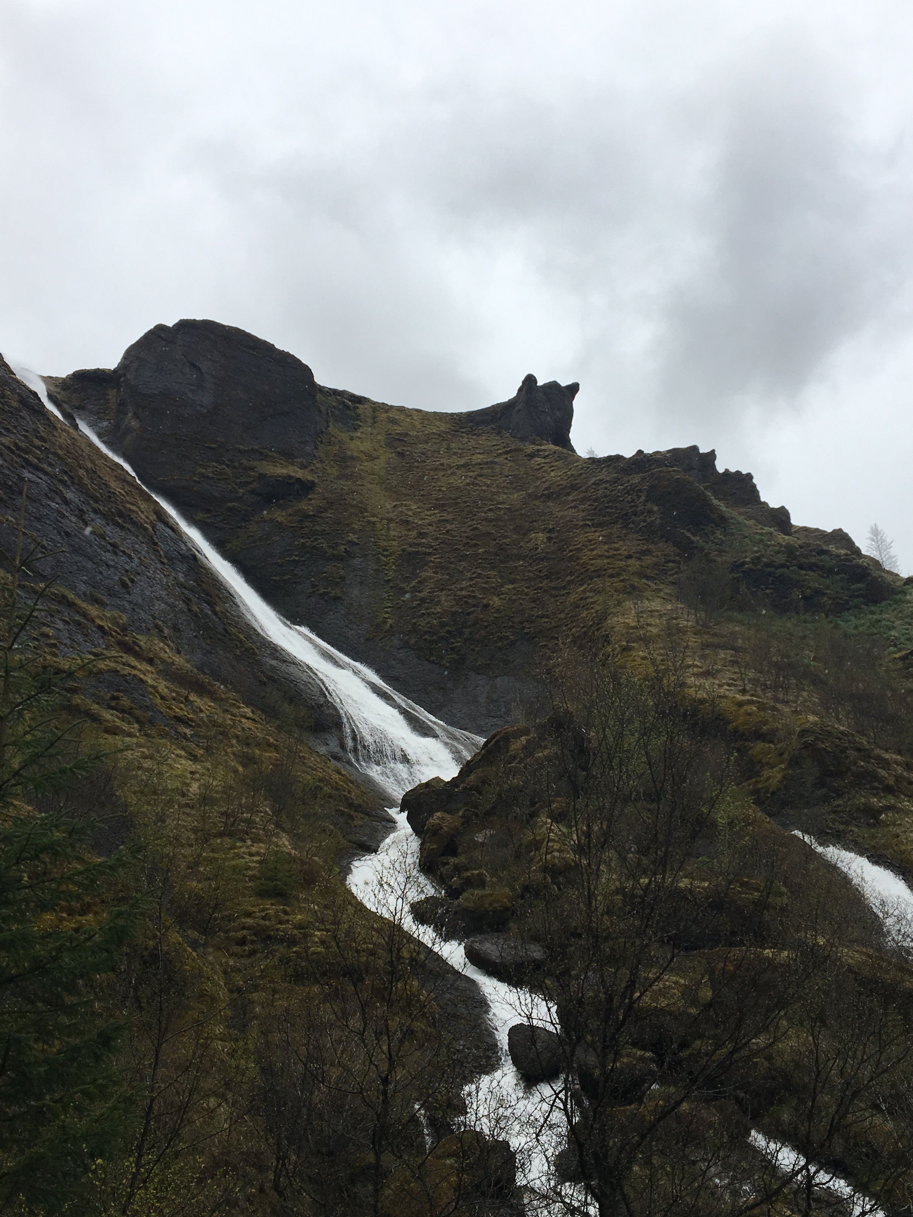
Systrafoss
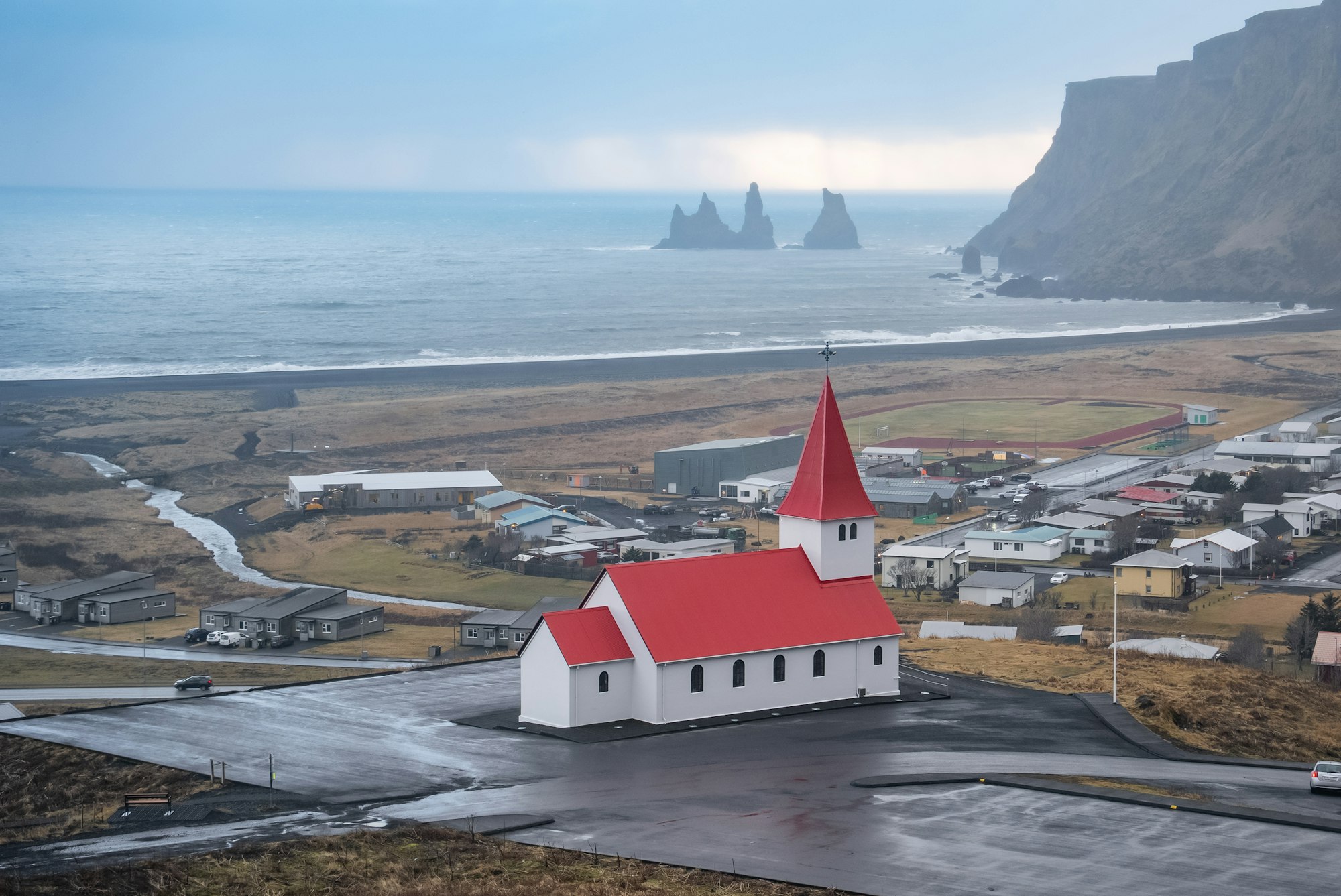
The Stjórn drops in two strands from the Síða cliff directly behind the village, beside the church and one of the few native birch woods left in the district. The name recalls the Benedictine sisters of the convent. It is a few minutes' walk from the centre, which makes it the one stop here that costs nothing.
-
Dverghamrar
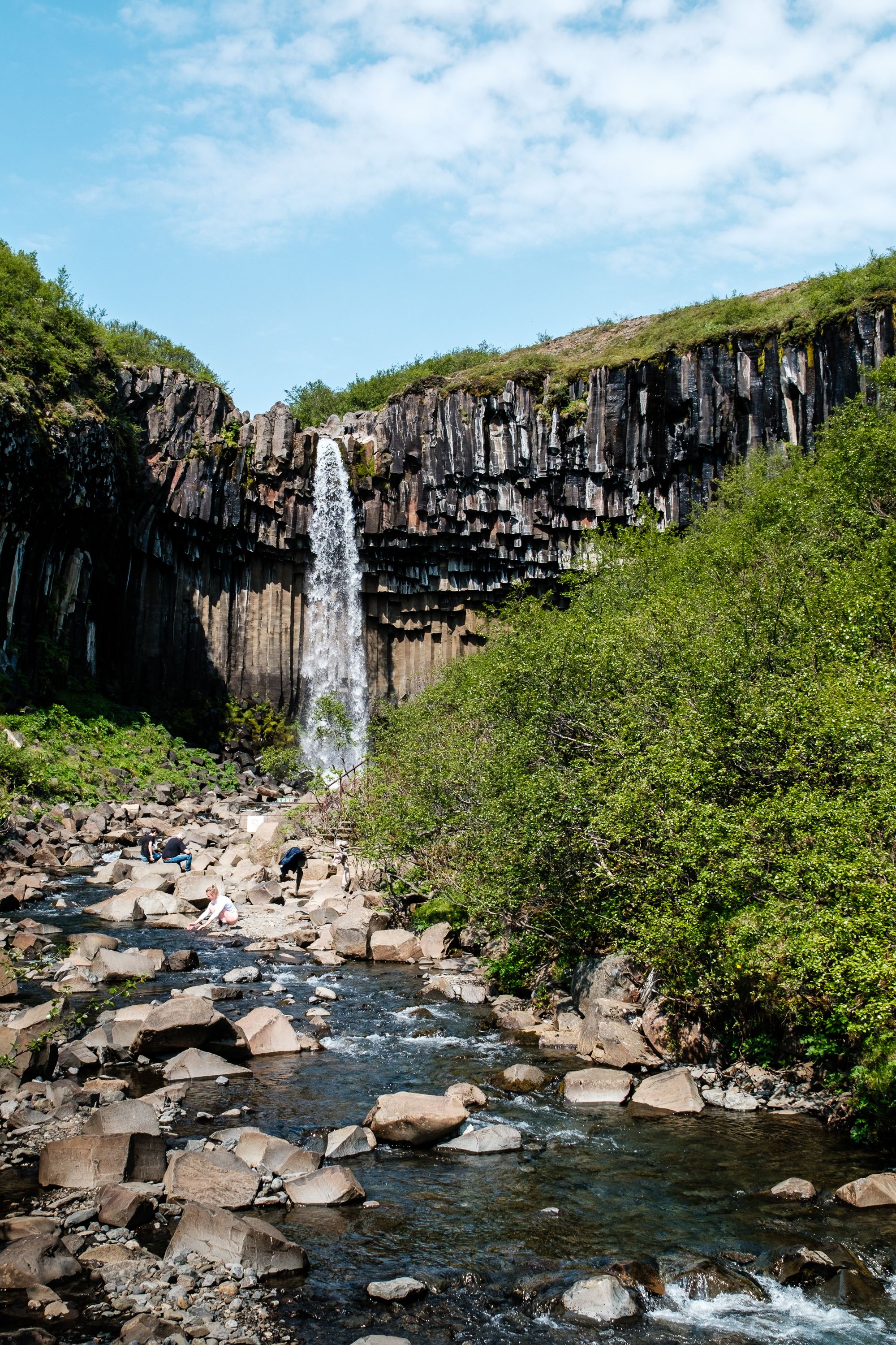
Columnar basalt cliffs beside Route 1 near Foss á Síðu, exposed when the sea stood at this line at the end of the last Ice Age and washed the softer rock away. Folklore puts dwarves in them, which is what the name says. Steps from the car park reach the base in a few minutes, so it fits into any drive east.
-
Eldgjá
The largest volcanic canyon in the world, running about forty kilometres and reaching two hundred and seventy metres deep, torn open by a flood basalt eruption around the year 939. The waterfall Ófærufoss drops into it, though the natural arch that once spanned the fall collapsed in 1993. The F208 reaches it in summer only and involves unbridged fords.
-
Kirkjugólf
A flat pavement of basalt column tops in a field east of the village, roughly eighty square metres of hexagons ground level by ice and surf. The name means church floor, though no church ever stood on it, and it has been a protected natural monument since 1987. A signed path from a lay-by on Route 1 reaches it in ten minutes.
-
Laki
The crater row of the 1783 eruption, about a hundred and thirty vents along a twenty five kilometre fissure north of the village. Its lava and sulphur haze brought the famine Icelanders call the Móðuharðindi and cooled summers across Europe. It sits in Vatnajökull National Park on the F206, a summer-only road with fords, so it needs a suitable vehicle and most of a day.
-
Magma Hotel
Detached timber cabins spread across a lava field beside a small lake a few minutes east of the village, each set apart from its neighbours with a terrace and a window wall facing the water. Outdoor lighting is kept low and the site is genuinely dark. There is a restaurant on the property, which matters in a village this size.
-
Núpsstaður
A farmstead under the cliff of Lómagnúpur, the easternmost in the Síða district and once the last shelter before the crossing of the Skeiðarársandur. Its turf chapel is among the last standing in the country, the oldest fabric dating from the seventeenth century. The protected buildings are not open at will, so it is seen from outside.
-
Systravatn
A small lake on the heath above the village, reached by the steep path that climbs beside Systrafoss. Local legend holds that two nuns from the convent saw a hand rise from the water holding a golden comb. The reward at the top is the view back over the Skaftá plain, so go for the climb.