 Submit a photo
Ninety seconds on Leirhnjúkur
Worth the detour up Route 863, the marked loop at Leirhnjúkur takes you across black lava that still steams on both sides of the path, with the ground heated from below by the Krafla volcano.
Leirhnjúkur is the hill of yellow clay that gives the walk its name, and the ground at its base is the hottest on the route. Around it, fumaroles hiss steam, grey mud pools bubble and small pools hold aquamarine water.
Beyond the hill, the path heads out across black lava flows. Much of that lava came out during the Krafla Fires, nine eruptions between 1975 and 1984. Nothing has erupted since, but the rock is still hot.
The power station you pass on the drive in has made electricity from that same heat since 1977. New lava, live steam and coloured clay all lie within half an hour of Lake Mývatn by car.
Both marked loops leave the signed Leirhnjúkur car park and head for the yellow hill. Check the signs at the car park for parking charges. The edge of the lava field is less than 15 minutes along the path.
At the base of Leirhnjúkur, a wooden boardwalk carries you over the hottest ground. A viewing platform looks down on the bubbling mud pools and hissing steam holes.
For the long loop, carry on out over the black lava, following the yellow marker posts. Afterwards, drive further up the same road to the Víti car park for the short walk to that crater rim.
Wear closed shoes with thick soles, because the lava is sharp and uneven. Bring water and a warm windproof layer: there is little shelter, and the weather changes fast. Strong wind can blow steam across the path and make the exposed stretches hard going.
In rain the boardwalk planks and much of the ground turn slippery. The toilets at the car park are not always open. With a lift to the car park, you can walk back to Reykjahlíð on the Krafla Route, which leaves from the southern part of the loop and takes three to five hours.
Explore the rest of Mývatn
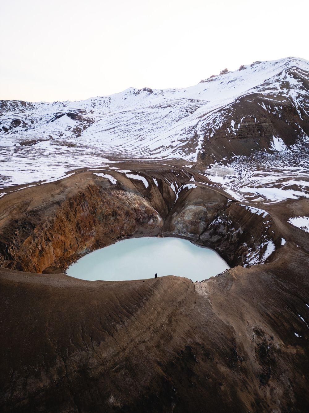
An explosion crater about 300 metres across under Krafla mountain, north of Lake Mývatn, holding a milky-blue lake ringed by brown sulphur…
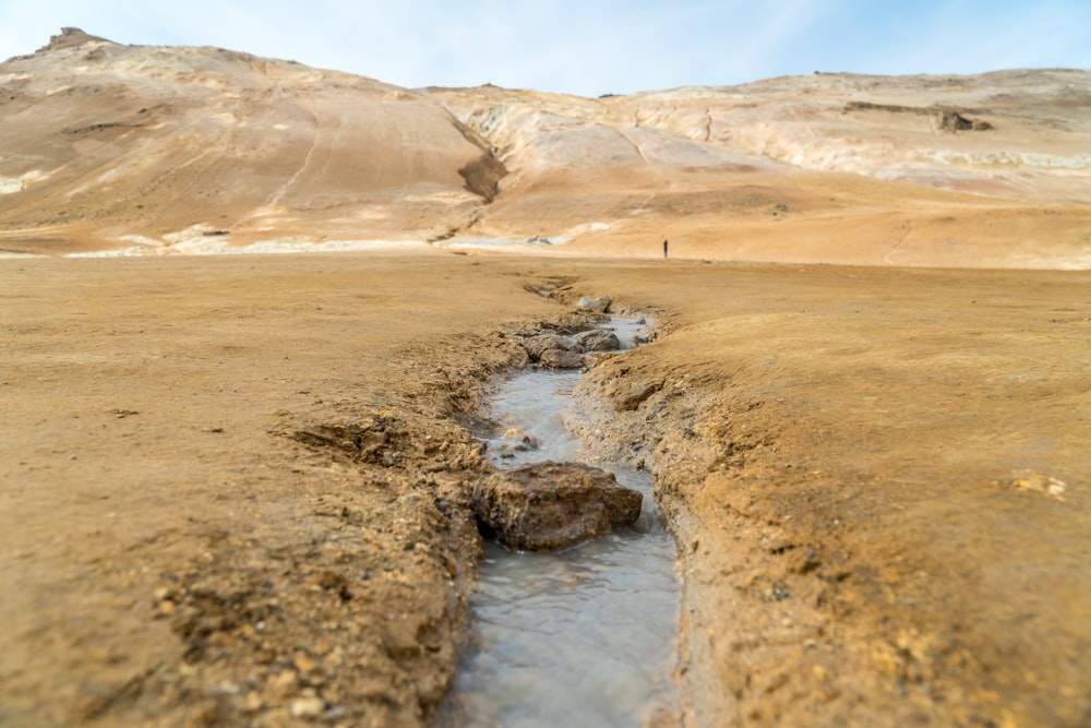
A field of steam vents, boiling grey mud pots and sulphur crusts below Námafjall, just east of Mývatn on the main road. Keep inside the…
A farm stay at Vogar on the east shore, between Reykjahlíð and Dimmuborgir. Its café looks through glass into the working cowshed, so…
Last updated