 Submit a photo
Ninety seconds on Vindbelgjarfjall
Climb Vindbelgjarfjall for a full circle of view over Lake Mývatn, its wetlands and the Skútustaðir pseudocraters, from the top of a steep marked path on the lake's west side.
Vindbelgjarfjall rises about 529 metres above sea level on the west side of Lake Mývatn, a dark peak standing alone above the flat shore. It is a palagonite mound, built by an eruption under a glacier, which makes it a geological one-off in the area. The path to the top climbs on that same palagonite.
The mountain lies inside the Protected Area of Mývatn and Laxá, a wetland and bird protection area recognised beyond Iceland. The reason to climb is the summit. From the top the view runs a full 360 degrees, over the lake, its wetlands and the land around it.
The route is graded medium difficult. It suits most walkers who are steady on loose rock, and it asks for no climbing with your hands.
Vindbelgur's route starts at the car park and follows an old road across flat ground for about 25 minutes to the base of the mountain. There a path marked with cairns turns uphill and gains about 270 metres to the summit.
The climb is steep and slippery in places, with logs laid as steps on the hardest pitches and stone between them. Allow 45 minutes to an hour for the ascent.
Come down by the same path. Take the steep pitches slowly, because the gravel slides as you descend.
Set out early for a morning climb, and leave time to stop at the top. The wind on the summit can be fierce, so wear a hat that fastens and keep a windproof layer in your bag.
In summer, bring a head net for the midges at Mývatn.
Explore the rest of Mývatn
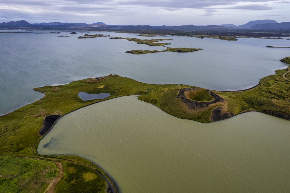
A field of grassy pseudocraters at Skútustaðir on Mývatn's south shore, made when lava flowed over wetland and trapped steam burst up…
A farm stay at Vogar on the east shore, between Reykjahlíð and Dimmuborgir. Its café looks through glass into the working cowshed, so…
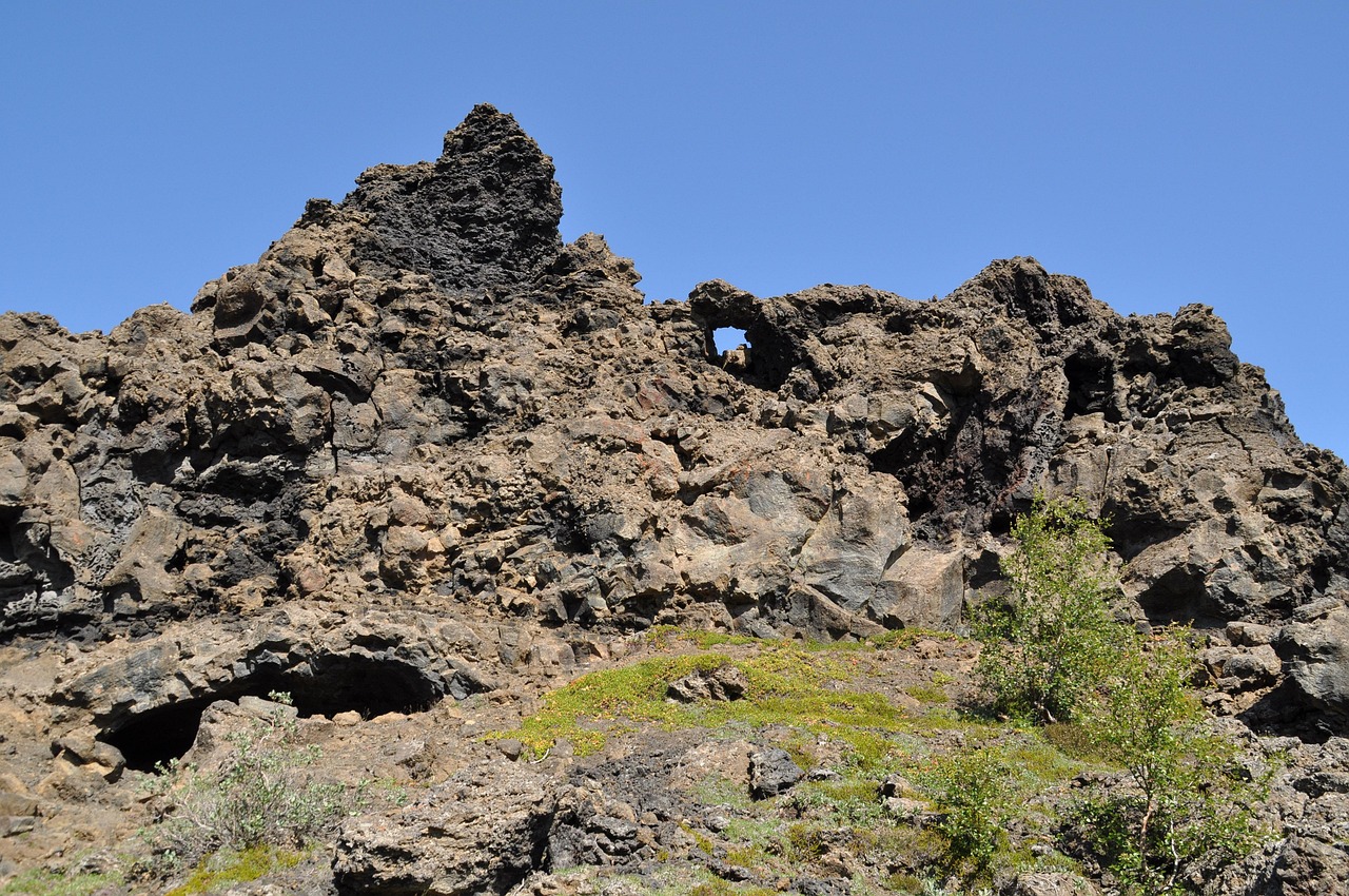
A field of lava towers, arches, caves and chambers on Mývatn's east shore. Marked loops start from the car park; the red Church Circle…
The official pages this guide was checked against.
Last updated