
You ride two ropeways and climb the last stretch on foot to a 535-metre summit of giant rocks, the highest point on Miyajima, with the islands of the Seto Inland Sea spread out below on every side.
Viewpoint, Hiroshima. Meridian Dispatch.
Riding up and walking the summit loop takes about two hours there and back. Without the ropeway, the marked trails from town take about one and a half to two hours to the summit.
The ropeway starts at nine in the morning. The final upward car leaves at four in the afternoon and the final descent half an hour later, so leave about an hour for the summit loop before that last car.
The operator's English homepage posts each day's service status, along with the specific peak days that need a ride booked online in advance. It is the place to check before taking the ferry across.
Yes. The ropeway stops for planned servicing in two spells a year, around February and July. During those spells the three hiking routes up from the town are the alternative.
Walk from the pier through Momijidani Park to Momijidani Station, the base of the ropeway, where tickets are sold. The free shuttle from the park gate shortens the walk.
Yes. The summit building has toilets and places to rest. It sits at the end of the half-hour walk from Shishiiwa Station, the upper end of the ropeway, so the lower stations are the other stops.
The ropeway and summit fit into a day on the island with the shrine. Visitors who stay a night on the island can see the shrine early in the morning or in the evening, after the day-trippers have gone.
The ropeway operator recommends sneakers and layered clothing, since conditions up high change fast. Rain makes the rock and the steps slippery, so pick soles with a good grip.
The official site of Mount Misen is miyajima.or.jp.
miyajima.or.jp →Mount Misen rises from the middle of the island, and the old forest on its slopes is listed as World Heritage together with Itsukushima Shrine below. From the observatory on the summit the view is open all the way round, over the Seto Inland Sea and its islands.
The top is a jumble of huge rocks. Next to the observatory, boulders form a natural arch, and on the path up a rock shaped like a whale appears suddenly, with a spout hole on top.
A hollow in another rock near the summit, 500 metres above the sea, is said to fill and empty with the tide far below. Among the temple halls on the way up is a pavilion that is unusual for being dedicated to a demon.
Reikado hall is home to a fire said to have been lit by Kobo Daishi, which was used to light the Flame of Peace in Hiroshima's Peace Memorial Park. Lower down, the Iwaya Daishi cave and high cliffs lie along the paths.
Momijidani Station is a 20 to 25 minute walk from Miyajima Pier, through Momijidani Park. A free shuttle bus also runs to it from the park entrance, except over lunch.
Buy your ticket at Momijidani by card, IC card or PayPay. Small gondolas leave about every minute; partway up you change to a larger car for Shishiiwa Station, about 14 minutes of riding in all.
From Shishiiwa, a loop of about an hour on foot climbs past the temple halls to the summit and back.
In autumn and winter carry something warm, and on a hot day carry water. Shishiiwa Station takes no cards or IC cards, so have some cash with you.
To hike instead, three marked trails climb from town: Daishoin, 90 minutes to two hours with a lot of steps; Momijidani, about 90 minutes on a sloping path; and Omoto, about two hours. Keep to them, because the island searches for lost hikers every year, and watch for snakes and bees.
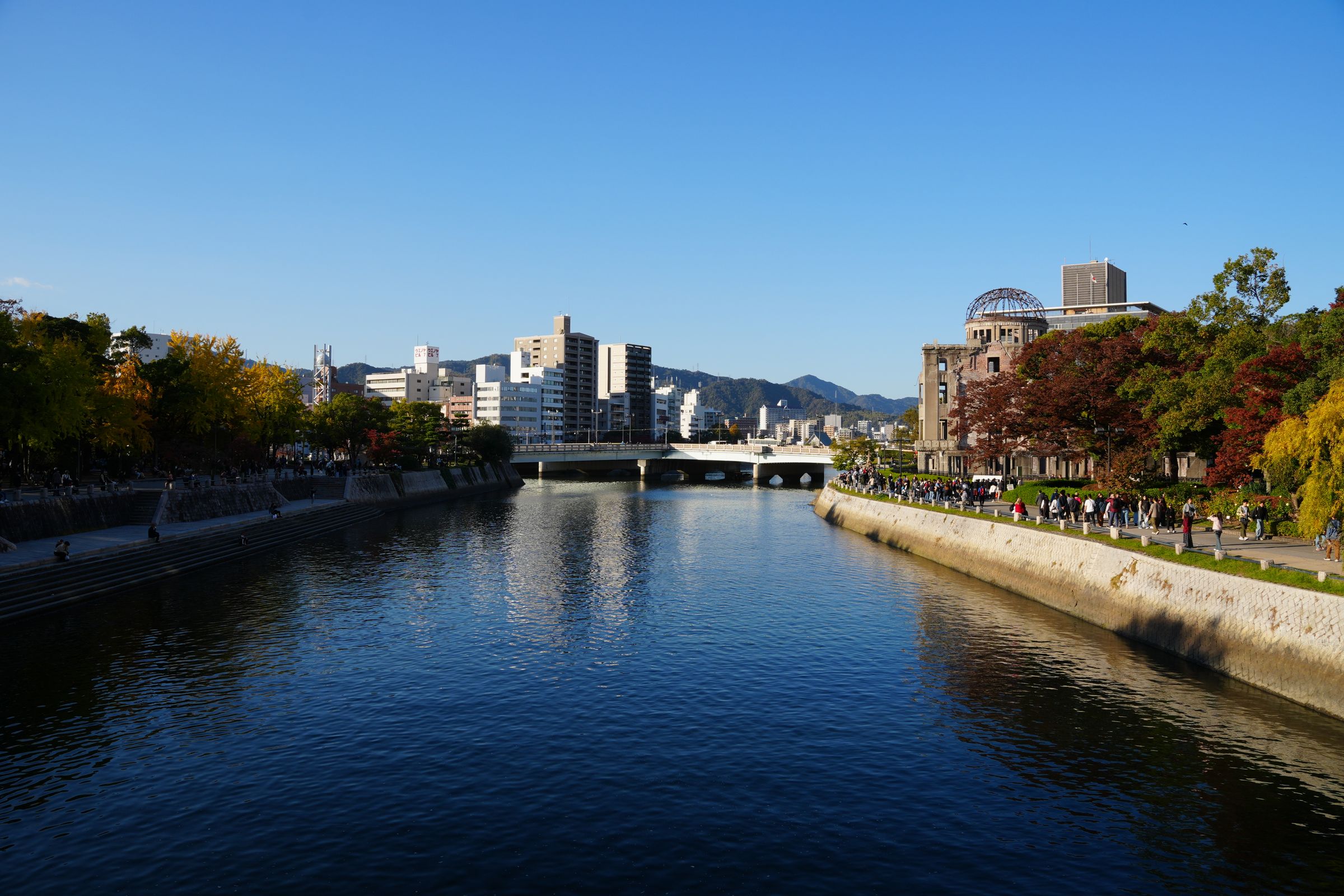
Hiroshima, Japan: a flat city of trams and six river channels, easy on foot. Atomic Bomb Dome, Daisho-in and Hiroshima Castle.
Read the Hiroshima guideExplore the rest of Hiroshima
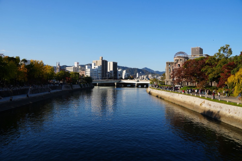
A flat city of trams and six river channels, easy on foot, with the Peace Park and its museum at the centre and the shrine island of…
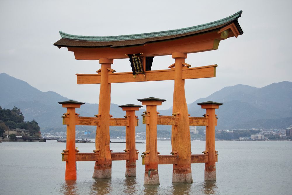
Built on stilts over a tidal inlet on Miyajima, the shrine faces a camphor-wood gate sixteen metres tall that stands in the sea offshore.…
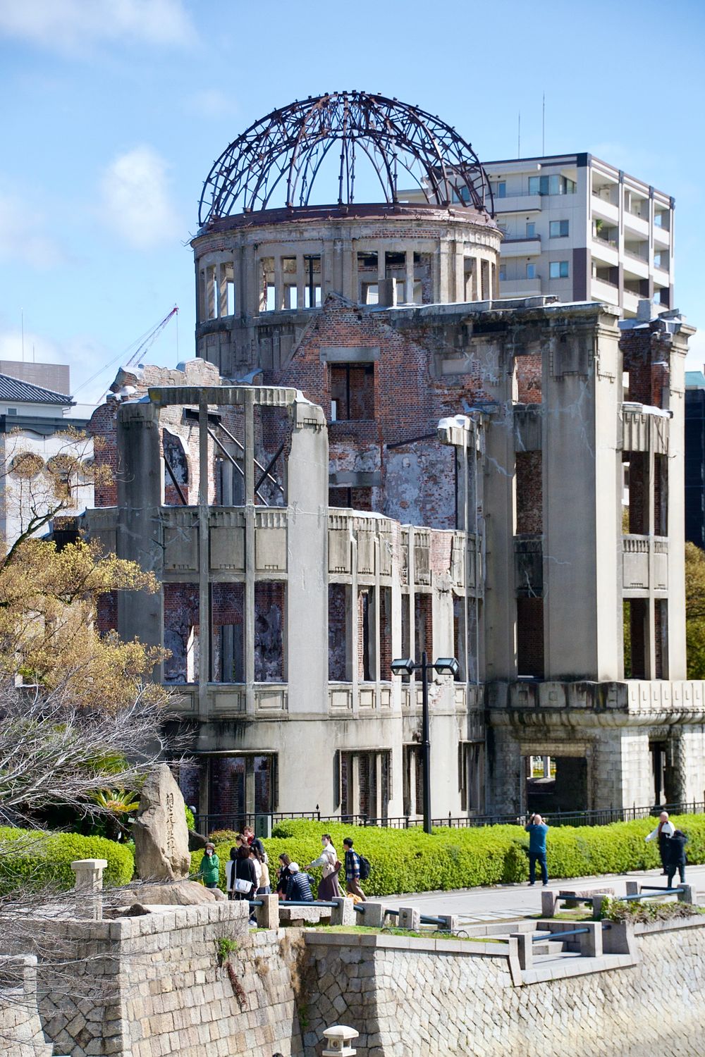
The bare steel ribs of a domed exhibition hall stand on the riverbank opposite the Peace Park, kept as a ruin since the bomb. There is no…
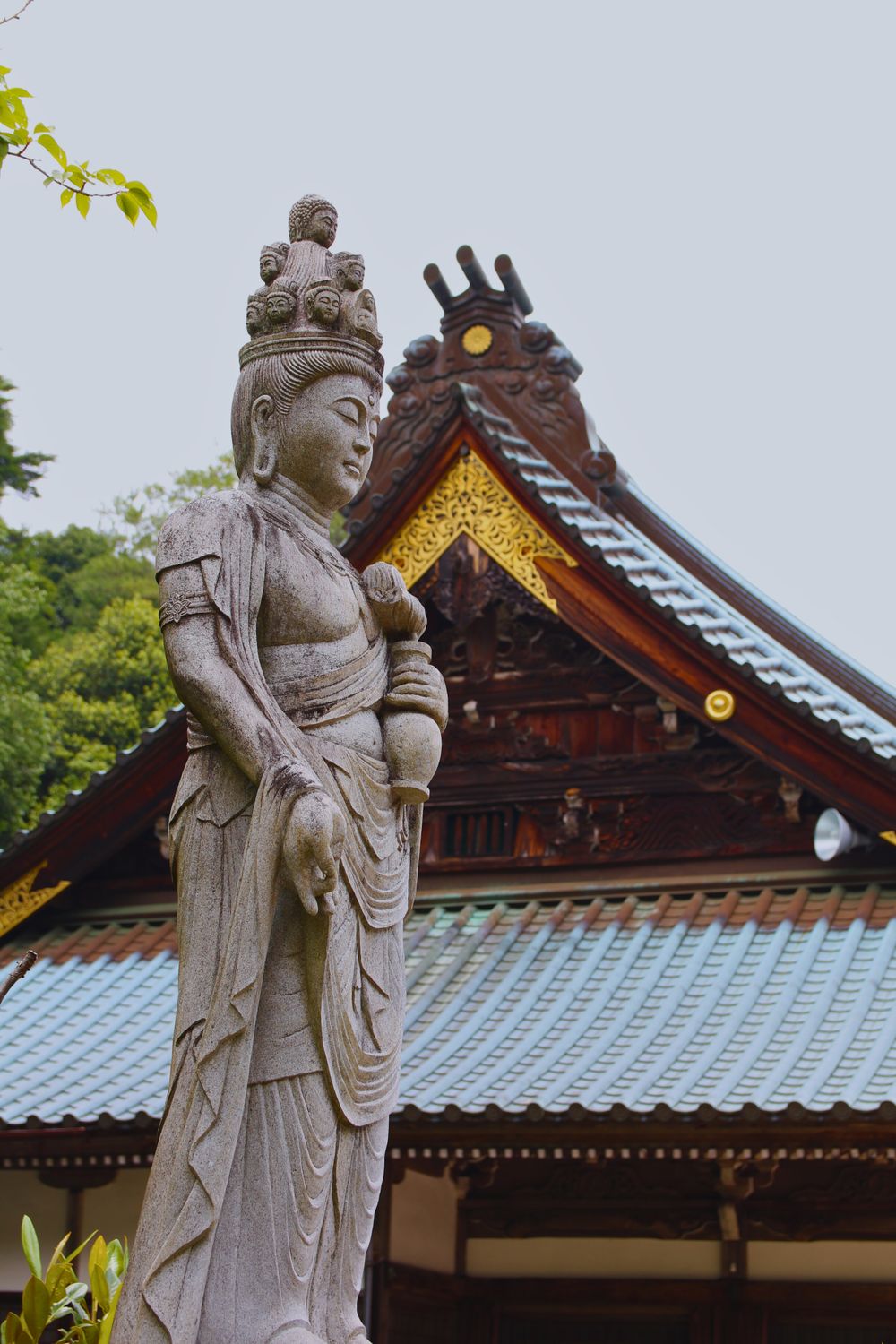
A temple on the slope above Miyajima's village, quieter than the shrine below and reached by stone steps lined with small statues in…
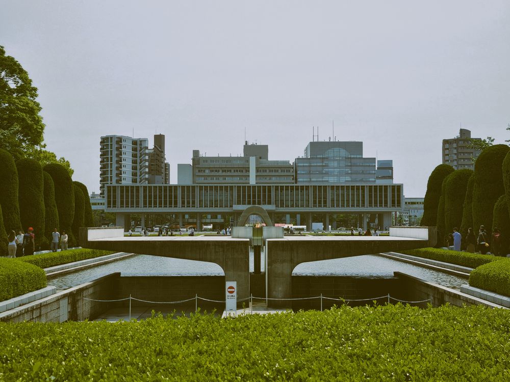
The main building tells the story of the bombing through the belongings of named victims: a scorched tricycle, a child's lunchbox, a watch…
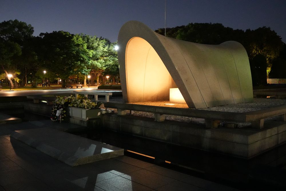
The park fills a river island in the centre, and a walk through it is the heart of a Hiroshima visit. Stand on the museum side of the…
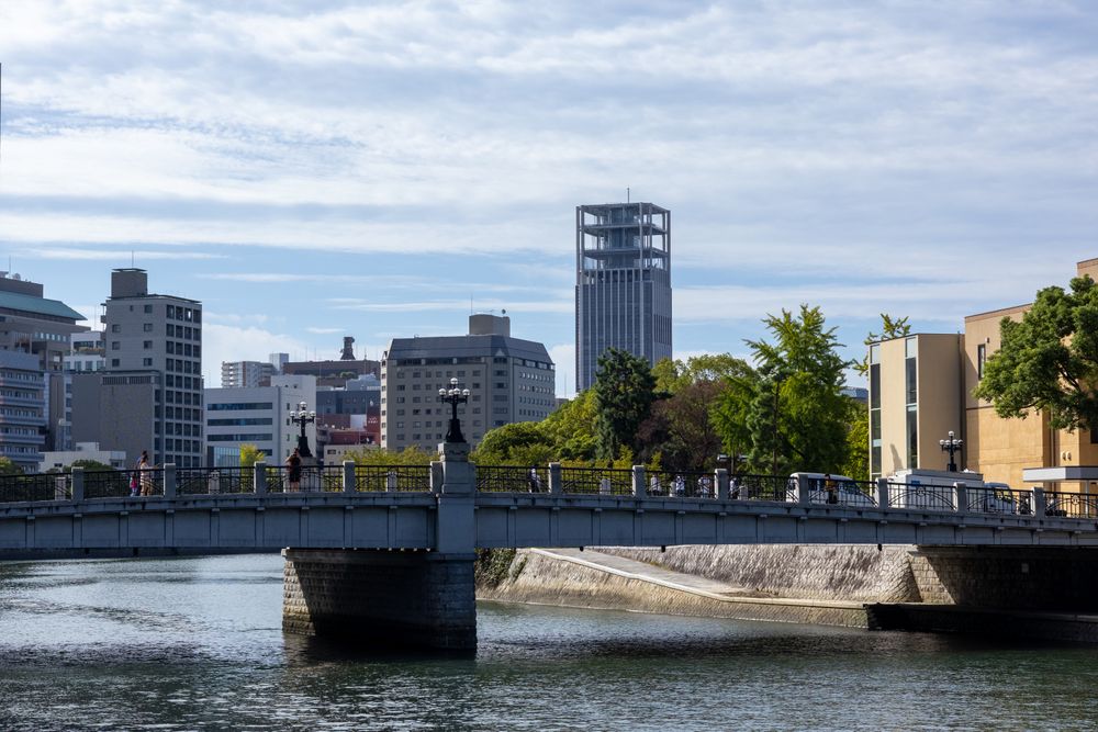
The open rooftop deck of this office tower looks straight down on the Atomic Bomb Dome and across the Peace Park to the hills behind the…
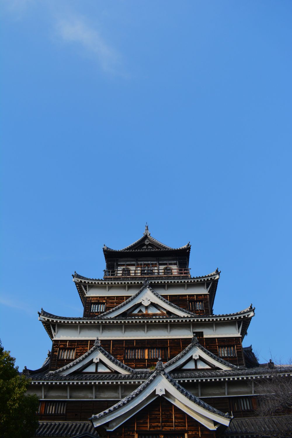
The concrete keep closed permanently in March 2026: it still stands in the open Honmaru grounds and the walk up to it is free, but there is…




Save Mount Misen to your Japan trip in the Meridian Dispatch app and build the day around it, with the best of Hiroshima pinned on one map.
Download on the App StoreLast updated