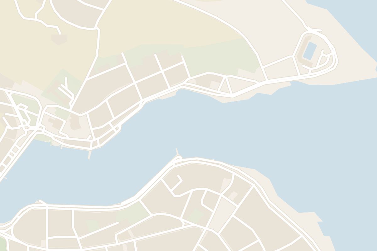
Sheltering between two headlands on Malta's south-east coast, this long inlet lets you swim from the sea wall and follow rock ledges round to the next bay.
Waterfront, Marsaxlokk. Meridian Dispatch.
Yes, as sheltered water with a coastal walk attached. The bay is the starting point for the shoreline route to St Thomas' Bay, and St Thomas Tower fits into the same half day.
Yes. Along the bay, stone steps break the sea wall at intervals and lead down into the water, and signs mark them as places for swimming.
Follow the shore until the paving ends and rock ledges take over below Ras iċ-Ċerna. Keep to the ledges round the eastern point and they lead into St Thomas' Bay, the next inlet to the south.
They are salt pans, or salini, and they are a common sight all along the Marsaskala coast, from the ledges below Ras iċ-Ċerna round towards St Thomas' Bay.
By car, Marsaskala is about 13 km from Valletta, a drive of roughly 25 minutes. From Mdina it is about 19 km, roughly 35 minutes by car.
Yes. The bus terminal in Marsaskala has three lines to Valletta via Żabbar and one to Senglea (L-Isla), and another line runs to Malta International Airport.
Marsaskala Bay is a long, narrow inlet on the south-east coast of Malta. Ras iż-Żonqor, the south-east corner of the island, shelters it to the north, and the headland of Ras il-Gżira to the south. The town surrounds the water on both sides, and it is popular with divers and swimmers.
A promenade edges most of the bay. On the seaward face of Ras iċ-Ċerna the paving gives way to low, shelving rock ledges, which continue round the eastern point, past l-Abjad iż-Żgħir, and on into St Thomas' Bay.
Those ledges are cut with historic salt pans, the squarish basins the Maltese call salini, carved into the top layer of the rock.
Setting off from the waterfront in the town, walk the paved front round the shore of the bay. Pack a swimsuit and a towel, because the sea wall has places to swim along the way.
Where the paving gives way to rock, stay with the shoreline round the eastern point. The ledges bring you into the next inlet south, which makes the second half of the outing.
Leave space in the day for that coastal stretch. St Thomas Tower is the other stop that fits into the same trip.
For a second walk, take the north shore out to Żonqor Point (Ras iż-Żonqor), the opposite way from the walk south, where the rock basins are especially common. The national swimming pool complex stands on the same point, with an Olympic 50-meter pool and a 25-meter pool heated in winter.
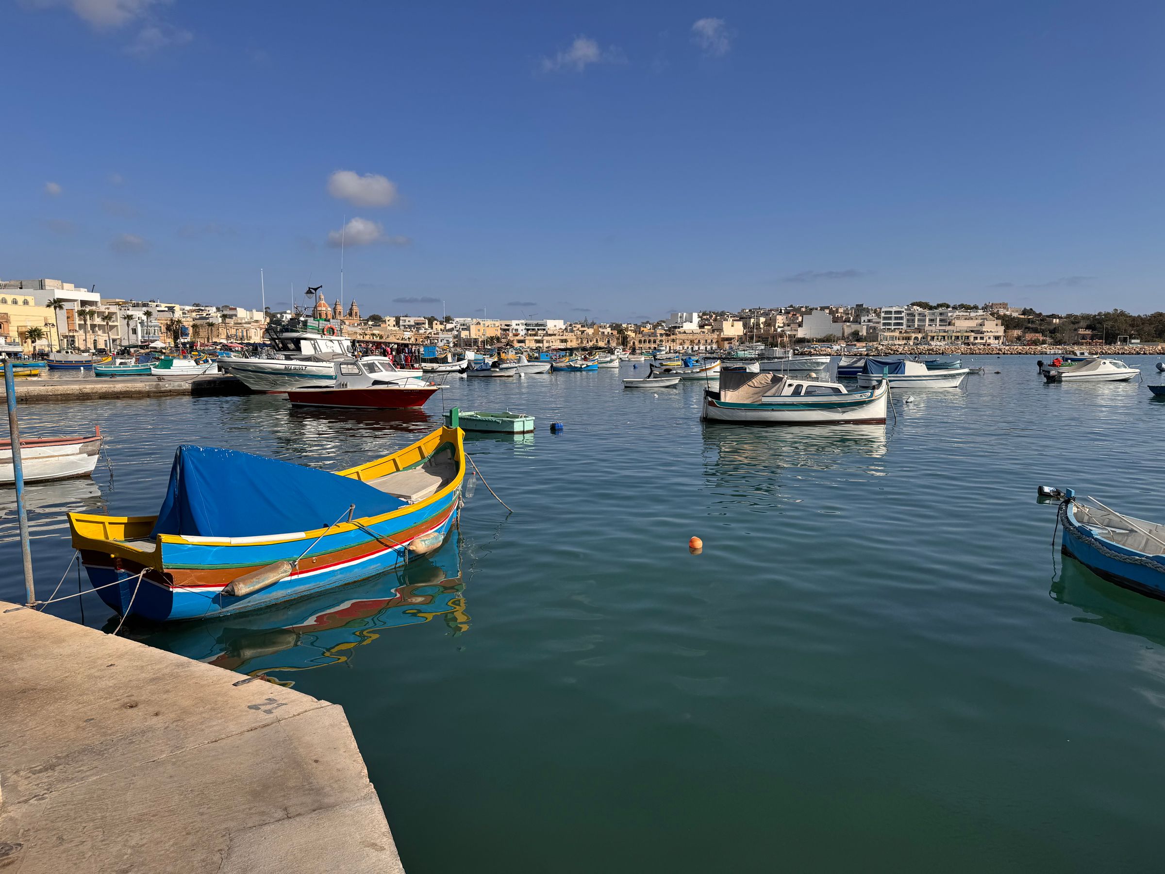
Marsaxlokk sells the night's catch on its quay, among the painted luzzu boats. After lunch on the harbour, you can swim off the rock ledges at St Peter's Pool, a walk along the Delimara road.
Read the Marsaxlokk guideExplore the rest of Marsaxlokk
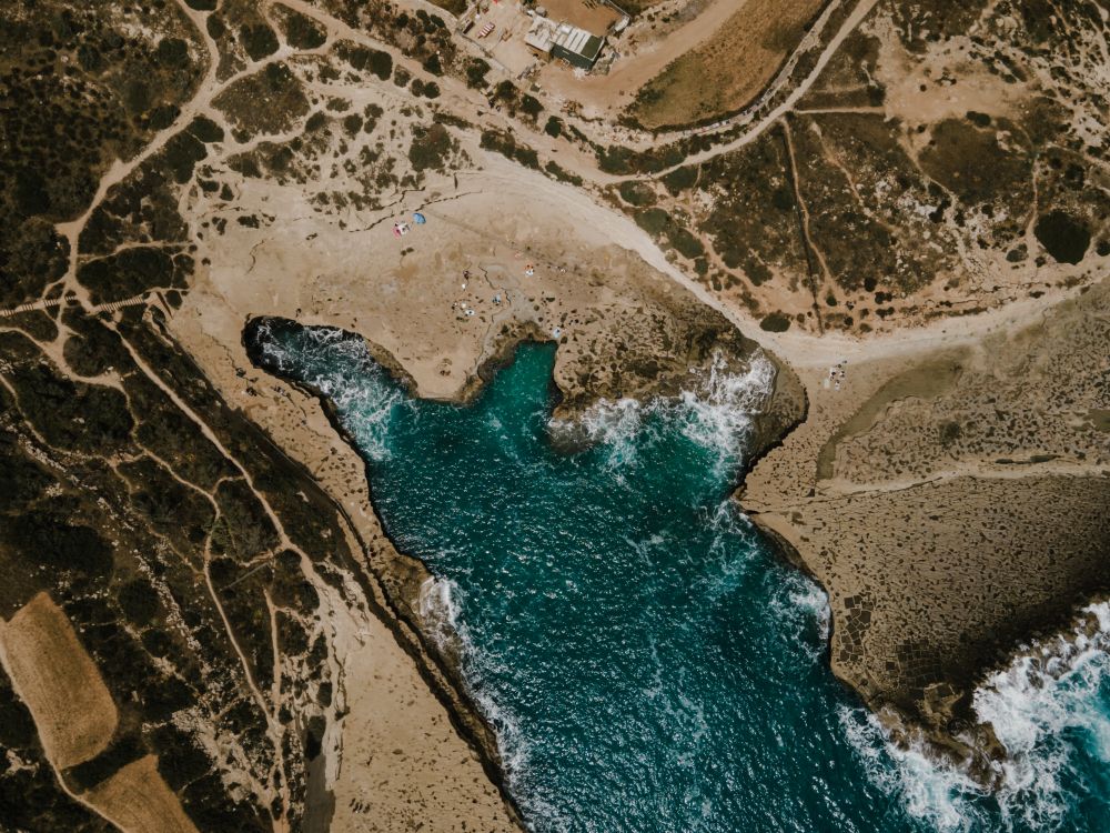
On the Delimara peninsula, St Peter's Pool is a natural rock pool of clear water ringed by flat limestone shelves. Swimmers jump from the…
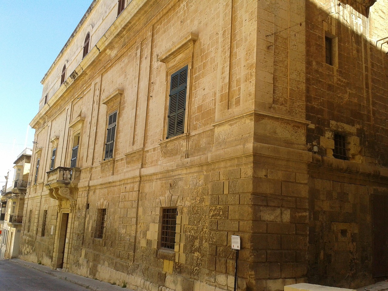
Rooms around a cloistered courtyard in the centre of Birgu show how the Roman Inquisition worked in Malta: the tribunal room, prison cells…
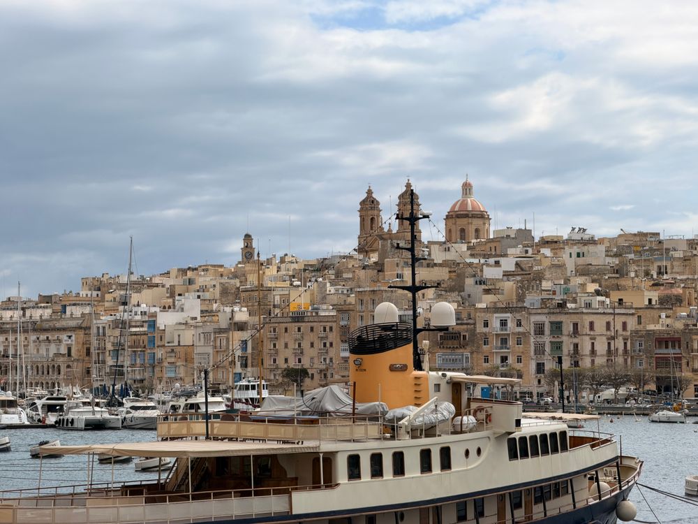
Three walled towns face Valletta across the Grand Harbour, and Birgu is the one to stay in: quiet stone lanes, Fort St Angelo at its tip…
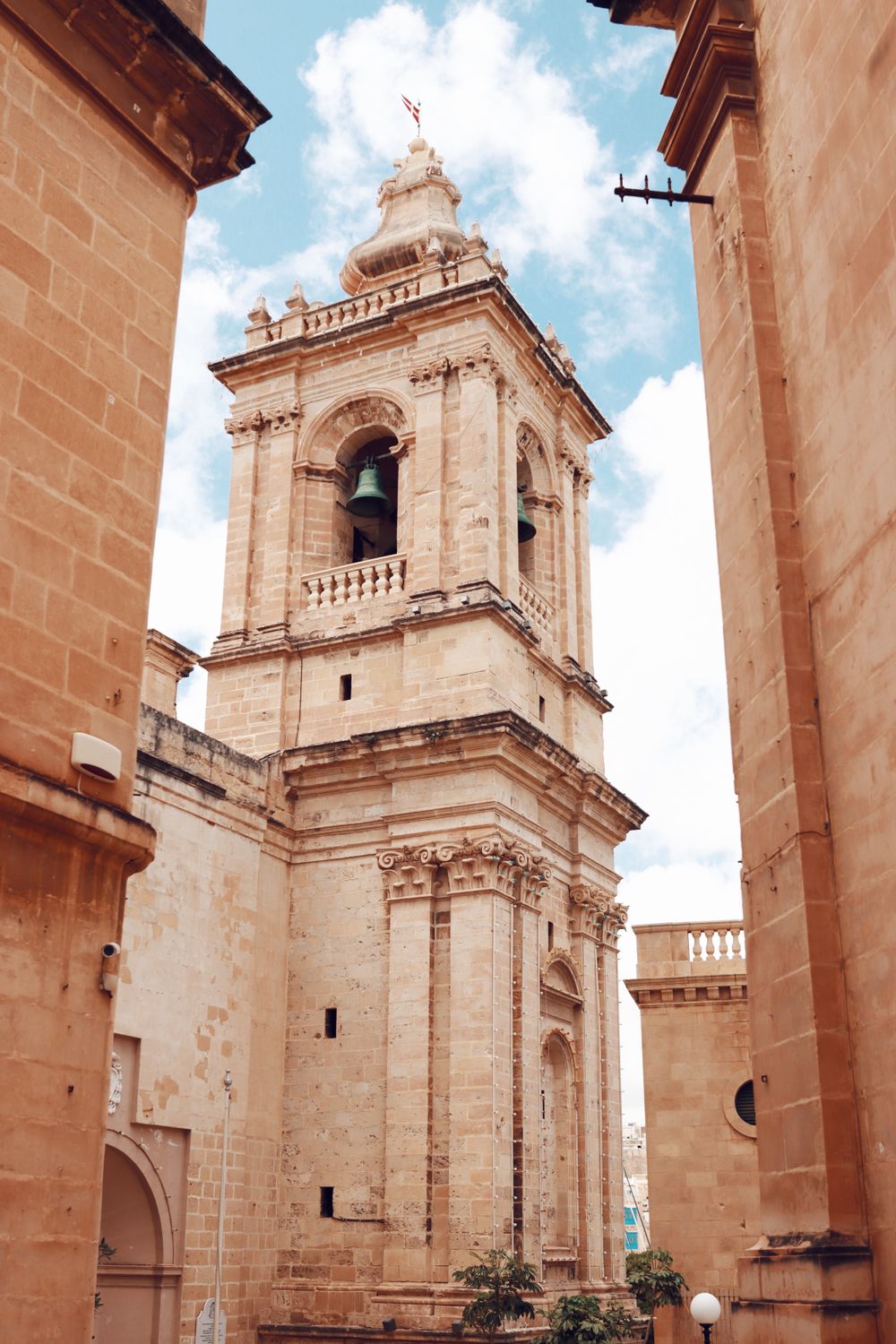
Facing the Birgu marina, St Lawrence served as the Knights' conventual church before St John's in Valletta was built. The interior has a…
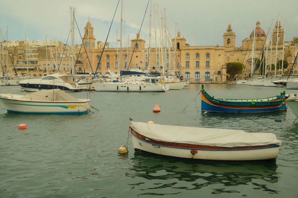
Yachts fill the marina below Birgu's old town, and the water taxis from Valletta tie up along it. Walk the length of the quay, then turn up…
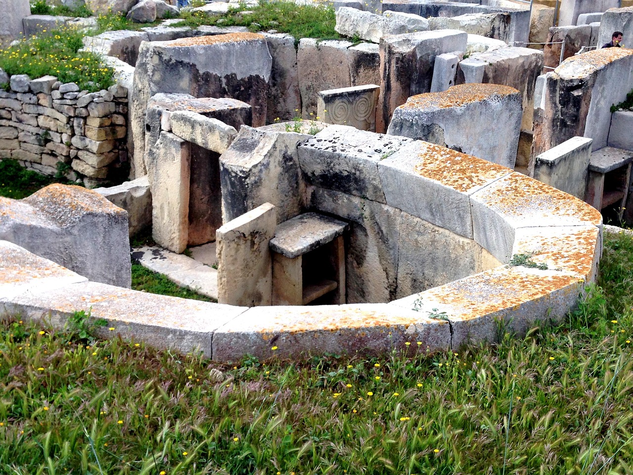
Four connected megalithic temples sit under a protective canopy among the houses of Tarxien, a short walk from the Hypogeum. Raised…
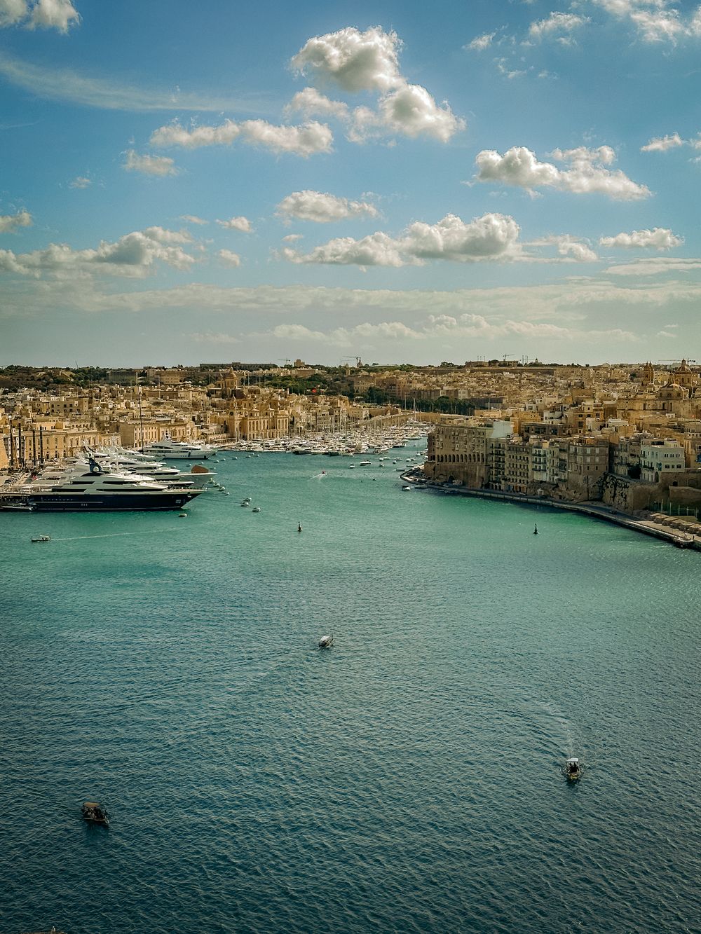
Bastions line this natural harbour, with Valletta on one shore and the creeks of Birgu and Senglea on the other. The view from the water is…
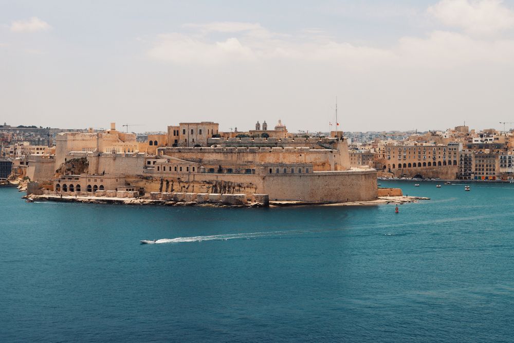
At the tip of the Birgu peninsula, Fort St Angelo guards the harbour mouth opposite Valletta. A ramped route climbs through restored…




Save Marsaskala Bay to your Malta trip in the Meridian Dispatch app and build the day around it, with the best of Marsaxlokk pinned on one map.
Download on the App StoreLast updated