
Drive right down to the water's edge: this is the easiest of the three neighbouring bays to reach, and its rock is cut with fishermen's boat garages under an old watchtower.
Beach, Mellieħa. Meridian Dispatch.
Route 101 runs from Mġarr down to the bay in the summer season only. From Valletta, route 44 reaches Mġarr, where riders change to route 101. From Mellieħa, route 101 goes all the way.
Not to the bay itself. Out of season, take route 44 to Mġarr; the walk down is about 2 km, with a steep climb back. Route 101 reaches the bay in summer only.
They help at the water's edge. Most of the beach is soft golden sand, with pebbles, shingle and smooth gravel along the waterline and in the shallows.
Clay slopes and limestone cliffs enclose the bay. Look along the rock for those garages: cave-like fishermen's huts carved straight into the stone.
Lippija Tower stands high above on a tall outcrop, on the cliff between here and the next bay north. It was a 17th-century link in the Knights' coastal defences, and you can pick it out from the beach.
The water is clean and clear, good for a swim or some gentle snorkelling. Sunsets are the other draw, since the bay looks west over the open sea.
On the road down you pass Castello Zammitello, a Norman-style fortified house. Look out for it on your way down to the beach.
Driving in means going through Mġarr, where signs point to Ġnejna. The last stretch is a steep, narrow, winding road, so take it slowly. The road ends at a car park at the water's edge, which one guide lists as free.
From there you walk straight onto the beach, which is mostly sand. A kiosk on the beach sells food, and sunbeds and boat trips are on offer. Peak summer adds a water sports operator on the sand.
Cliff paths lead north to Għajn Tuffieħa Bay and on to Golden Bay, and the walk to Golden Bay takes about thirty minutes. The route climbs through the clay slopes and follows the cliff edges past the tower. No coastal road joins the three beaches, because headlands separate them.
Check the wind forecast before you set out, because the wind decides the day here. June and September are the calmest months, calm all day on about six days in ten.
Shade is limited in the summer heat, so bring an umbrella. Pack water and a few snacks for a stay of several hours, particularly with children, even with food on sale.
The sea is 20 to 25°C in autumn, often warmer than the air. Spring brings wildflowers to the cliffs, with the water at a chilly 16 to 18°C.
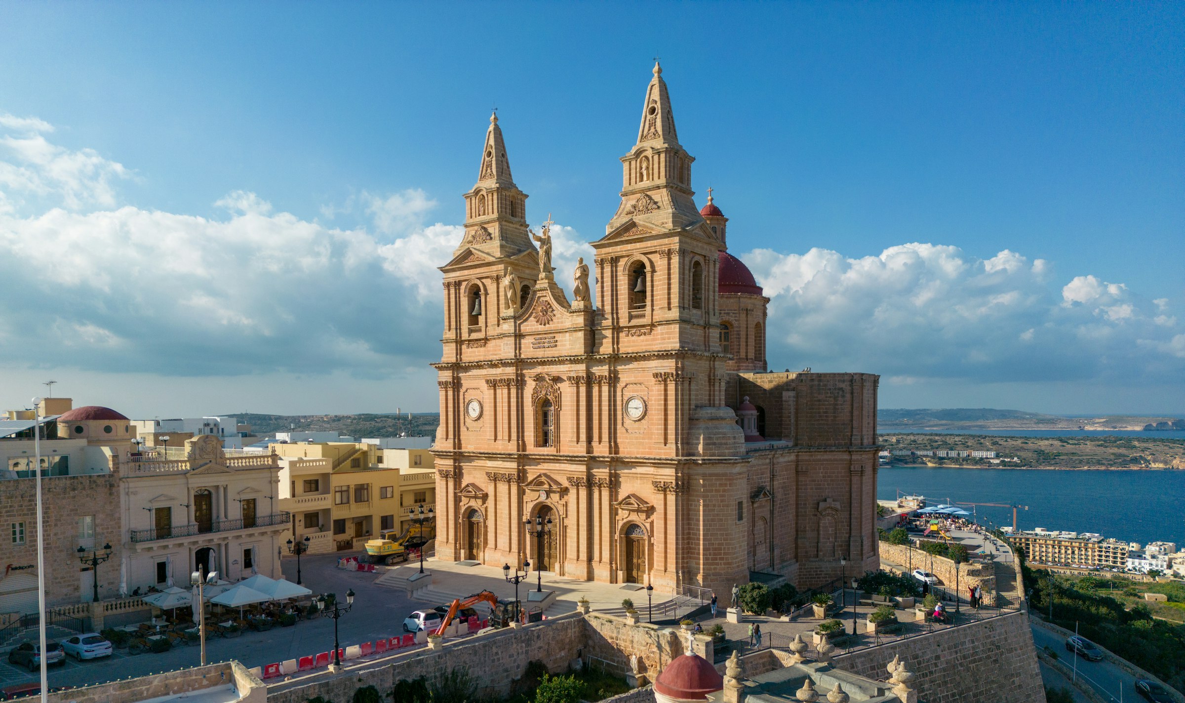
Mellieħa's ridge gives you a quiet night above the bay: the sand is about 3 km downhill, and the Parish Church terrace looks back over it in the evening.
Read the Mellieħa guideExplore the rest of Mellieħa
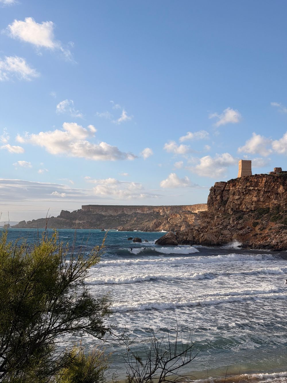
Square and stone-built, this small watchtower stands on the headland between Golden Bay and Għajn Tuffieħa, and the reason to climb to it…
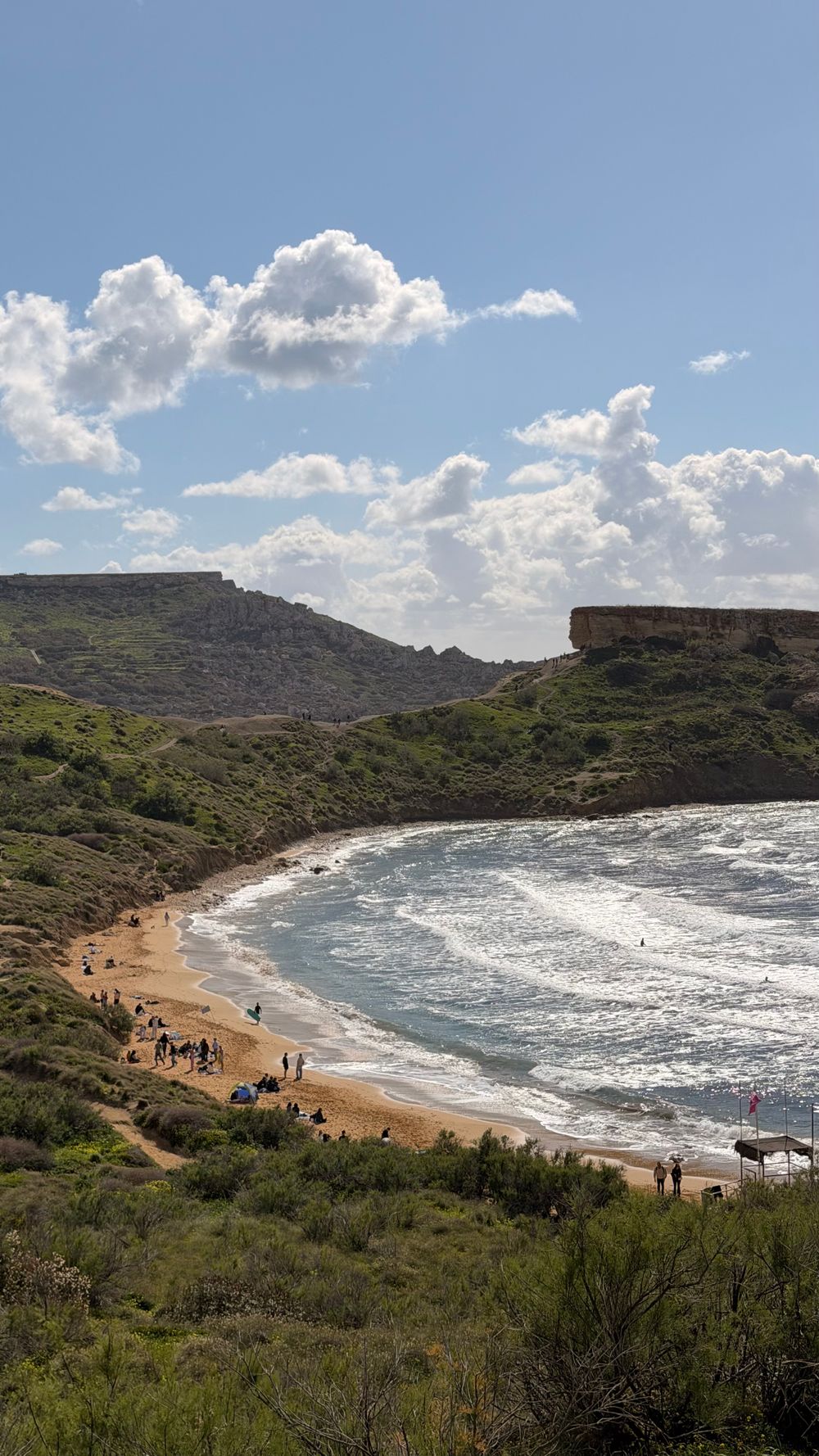
A wide arc of soft sand faces due west, so evenings here end with the sun dropping into open sea. Lifeguards, sunbed rental and kiosks run…
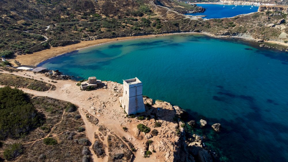
Reddish sand sits at the foot of eroding clay slopes, reached only by a long stairway of roughly two hundred steps from the car park above.…
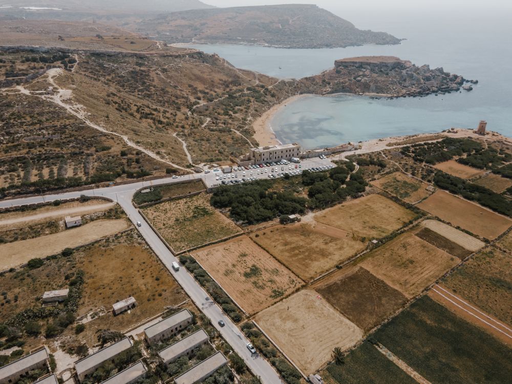
Garrigue, clay slopes and limestone plateau run along the northwest coast here, protected as Majjistral Nature and History Park. Waymarked…
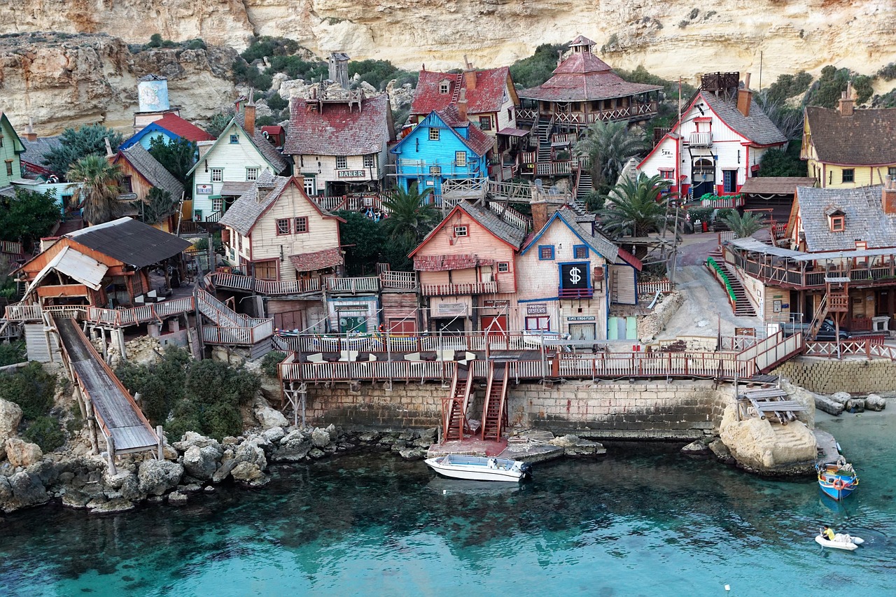
A narrow rocky inlet on the west coast, this cove holds the film set of Popeye Village on its northern side. The free viewpoint on the…
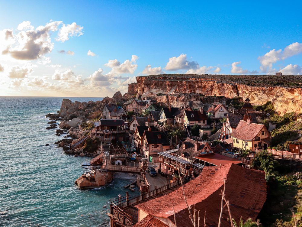
Wooden houses built as the set for the 1980 Popeye musical film still cling to the side of Anchor Bay, now run as a ticketed family…
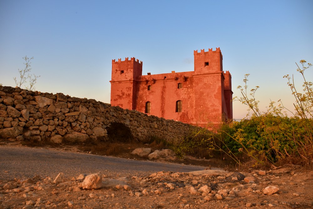
Painted deep red, St Agatha's Tower sits on the crest of the Marfa ridge, a Knights-era fort with corner turrets. Inside are restored rooms…
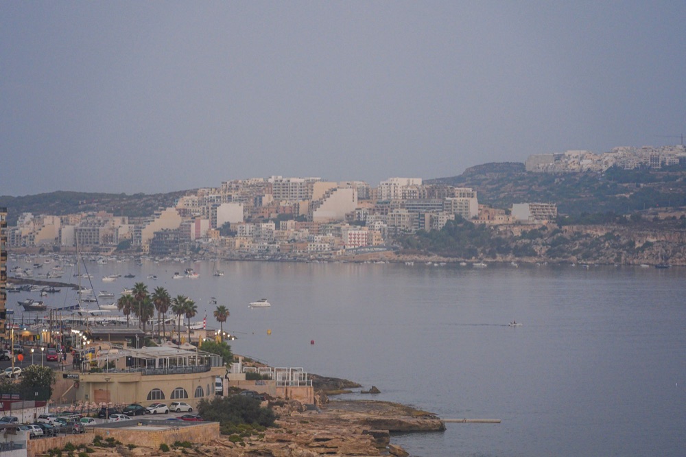
Hotels, bars and a long seafront promenade fill Buġibba and Qawra, the resort strip on the north side of St Paul's Bay. The area makes for…

Save Ġnejna Bay to your Malta trip in the Meridian Dispatch app and build the day around it, with the best of Mellieħa pinned on one map.
Download on the App StoreLast updated