
From the Riviera viewpoint above Golden Bay you can walk Malta's protected north-west cliffs to Anchor Bay and the Popeye Village film set, past two old towers and a swimming cove, and ride the bus home from the far end.
Hike, Mellieħa. Meridian Dispatch.
Yes. Entry on foot is free, and the park is open all year, daily from sunrise to sunset. Vehicles are not allowed inside the park.
October to April. The park recommends walking in those months and suggests sunset walks during the hotter part of the year, when the cliff paths have almost no shade.
Bus 44 runs from Valletta to Golden Bay, at the park's southern end, and bus 101 runs there from Mellieħa. At the northern end, the 101 also stops above Anchor Bay, by Popeye Village.
Yes. The park waymarks twelve trails, among them a Coastal Cliff Walk, a Tower Loop and a Cape Trail. The longest walk, from the Riviera viewpoint to Anchor Bay, links the park's two ends.
No. Camping is not allowed anywhere in the park, and open fires and barbecues are banned. Litter must be carried out, and plants, soil and stones must not be taken.
Yes. Ranger-led walks and group bookings go through the park's outreach office at outreach@majjistral.org. Any activity with more than 20 people needs the park's approval first.
Yes. The Visitor Centre sits in a former British military barracks building at Għajn Tuffieħa, with information boards, leaflets and exhibitions. It opens Monday to Friday from 9:00 to 15:00, and at weekends depending on volunteer availability.
Filming and photography shoots go through the park's activity application form, which also covers organised events, group walks and clean-ups. The form is filled in and emailed to the park, and the office answers questions by email on info@majjistral.org.
Heights are approximate.
Two Maltese charities, Din l-Art Ħelwa and Nature Trust Malta, run the park, with rangers on the ground. Much of its shore is cliff and boulder scree, so the path keeps to the cliff tops.
Soon after the start, Għajn Tuffieħa Tower, a Knights' watchtower, stands on the cliffs a short way off the path. Beyond the beach, a dirt path climbs onto the headland.
Halfway along, the cove at Ras il-Waħx lies below the path. A steep path drops to it, and you swim between the rocks.
Past the cove, a Second World War observation post is built into the rock beside the route, reached by rock-cut steps. The park also has traditional dry-stone huts called giren.
Further on, Għajn Żnuber Tower, a two-storey limestone tower, stands just off the path on the highest ground of the walk. From there the path heads down toward Anchor Bay.
Low scrub covers the plateau. Wild thyme flowers in late spring, and dense evergreen maquis grows in the sheltered ground. Look up for bee-eaters in spring and honey buzzards in autumn.
Near the end, a free lookout gives a view straight down onto the Popeye Village film set. The village is a ticketed family attraction, open daily from 9:30, with tickets on its official website.
The first kilometre and a half is easy going: a path down from the Riviera viewpoint, then the tarmac lane behind Golden Bay. Past the beach a dirt path climbs onto the headland.
On top, rock paths and tracks cross bare limestone that is rocky and sharp underfoot. The last half kilometre is a quiet road down to Anchor Bay.
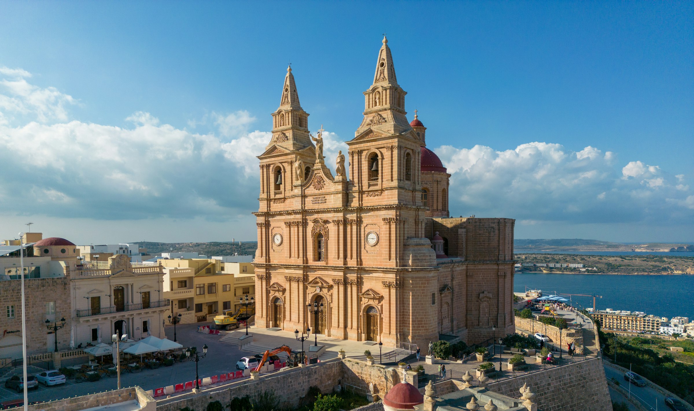
Mellieħa's ridge gives you a quiet night above the bay: the sand is about 3 km downhill, and the Parish Church terrace looks back over it in the evening.
Read the Mellieħa guideEight more walks on Malta, Comino and Gozo
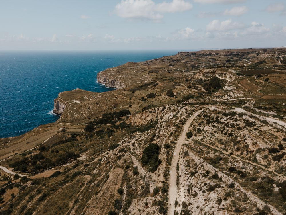
Malta's highest sea cliffs, from Dingli village to the chapel on the edge, then inland past the cart ruts to Buskett.
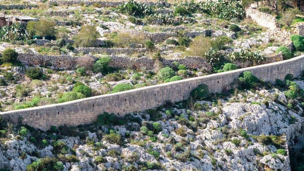
A walk along the old defensive wall that crosses Malta on its escarpment, with the north of the island spread below.
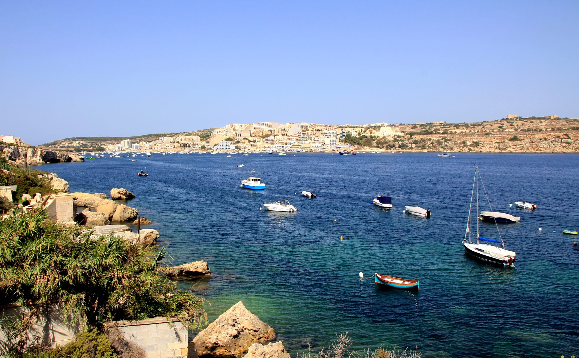
Two thousand years of Maltese country life on the low hill above Xemxija Bay, the sites a few minutes apart.
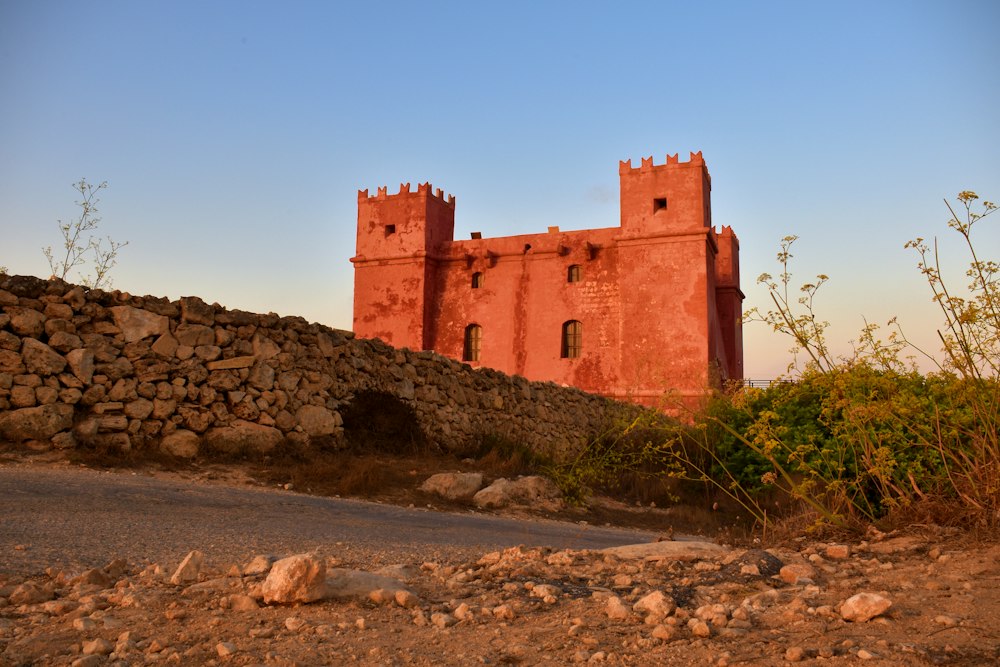
Round the whole Marfa peninsula from the Red Tower, with Comino and Gozo in view and a swim at Paradise Bay.
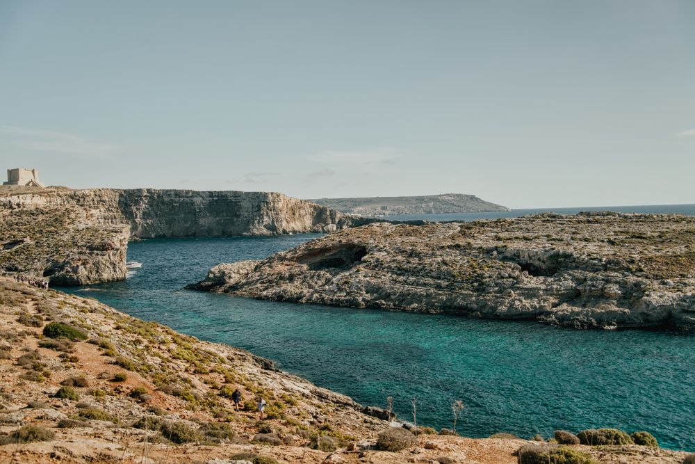
Round the island along the south cliffs, then back to the Blue Lagoon for a swim.
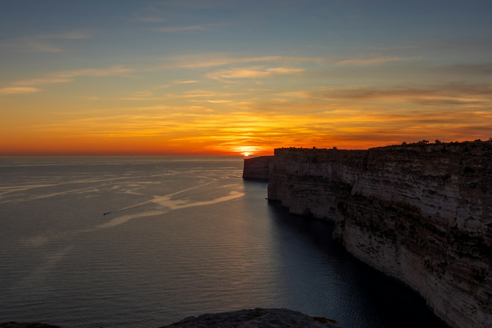
Gozo's tallest sea cliffs, walked from Sannat down to a swimming inlet.
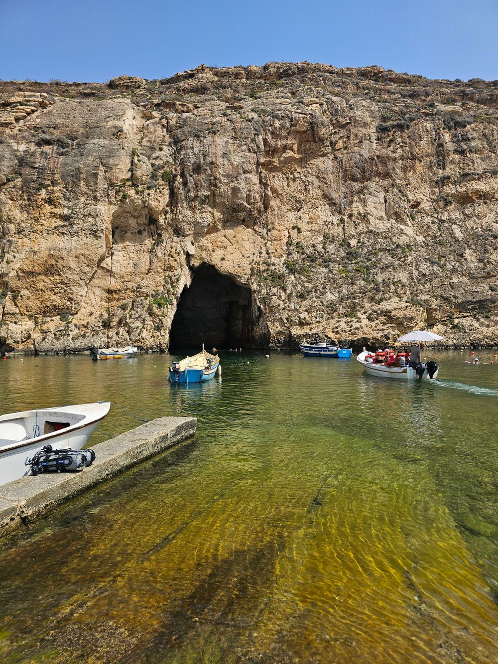
West Gozo's open cliff tops from Xlendi Bay to Fungus Rock, with the Inland Sea at the end.
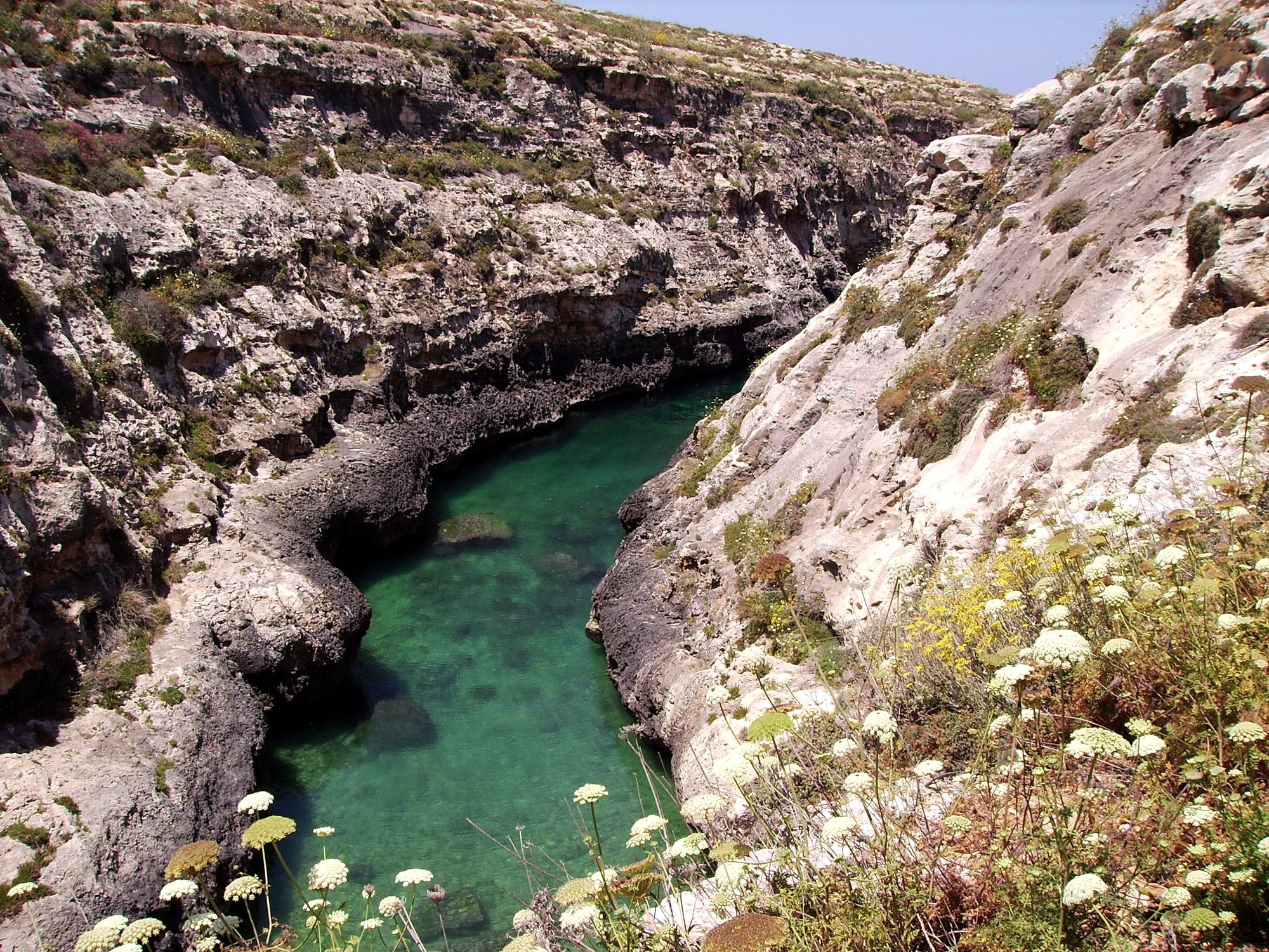
Gozo's north shore from Marsalforn, across the salt pans to a narrow sea gorge and its pebble cove.



Save Majjistral Park to your Malta trip in the Meridian Dispatch app and build the day around it, with the best of Mellieħa pinned on one map.
Download on the App StoreLast updated